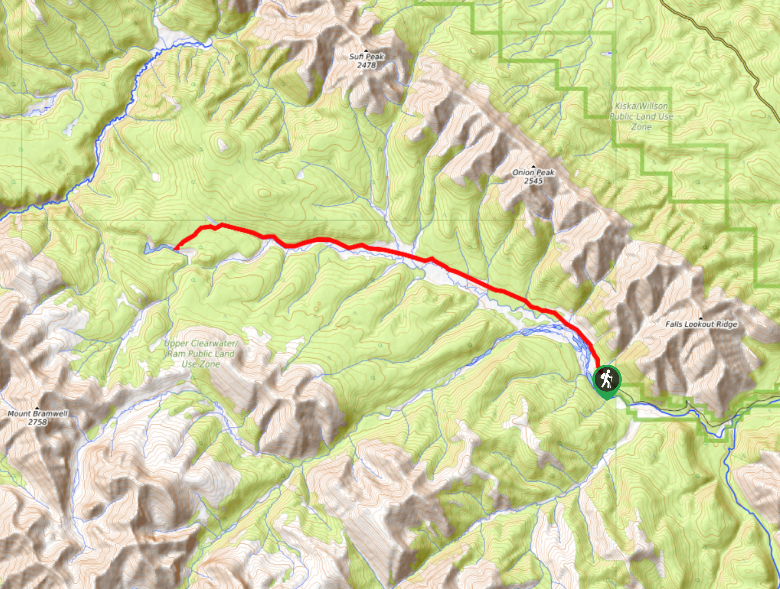
Vision Quest Ridge Trail
View Photos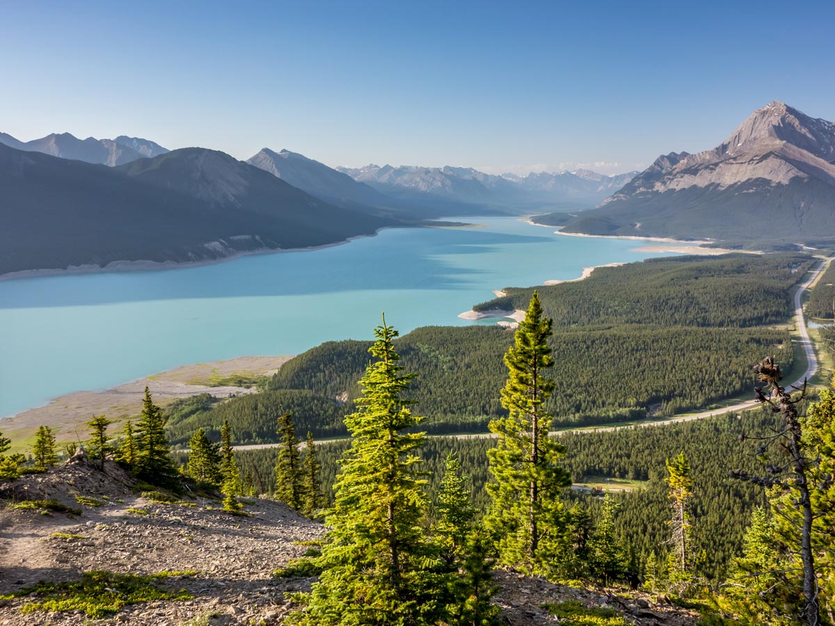
Vision Quest Ridge Trail
Difficulty Rating:
The Vision Quest Ridge hike near David Thompson Hwy is a short challenging hike. The trail up is quite steep, but the views once you go above the treeline are breathtaking! This trail also leads to the site that is believed to have held a spiritual meaning to former inhabitants of the surrounding areas.
Getting there
From David Thompson Resort, go north until you reach a small road on your left. Take this turn and drive until you reach the waste transfer site, where you can leave your car.

About
| When to do | May - October |
| Backcountry Campsites | No |
| Pets allowed | Yes - On Leash |
| Family friendly | No |
| Route Signage | Poor |
| Crowd Levels | Low |
| Route Type | Out and back |
Vision Quest Ridge Trail
Elevation Graph
Weather
Route Description for Vision Quest Ridge Trail
The Vision Quest Ridge hike might seem easy by just looking at the numbers, but don’t be fooled. This trail is quite steep and the terrain here is quite difficult, so come prepared: hiking boots with good grip and ankle support is a must and we strongly advise on wearing hiking gloves and having poles with you.
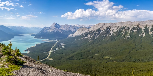
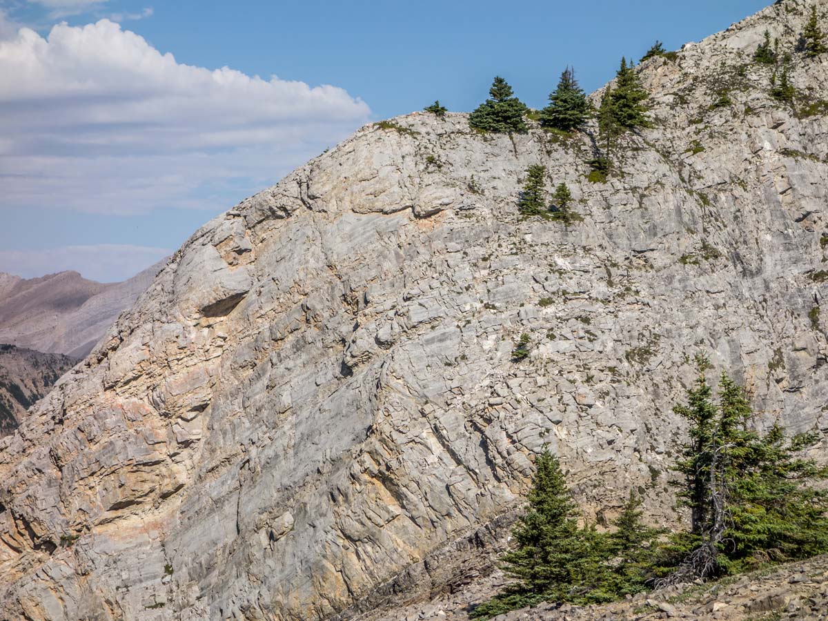
After parking your car near the Cline waste transfer site, you’ll see the trailhead looking towards the north along the fence. The elevation will increase steadily all the way to the top and you will notice that very early into your scramble. The terrain here is difficult and you will be walking mainly on shale rock and rubble.
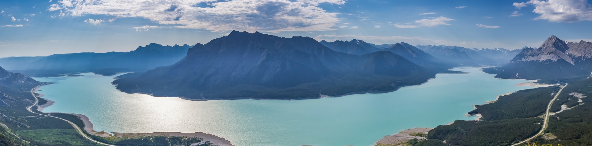
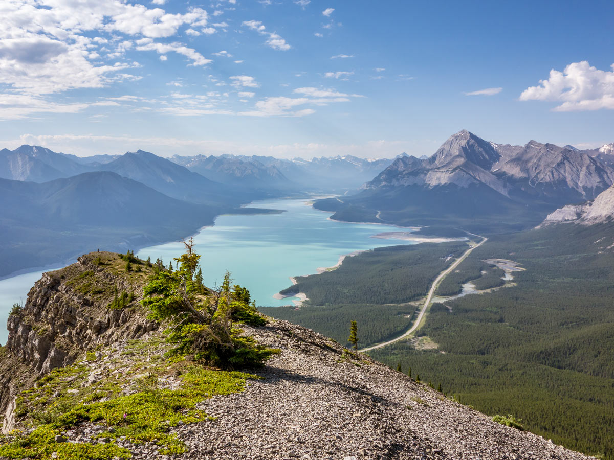
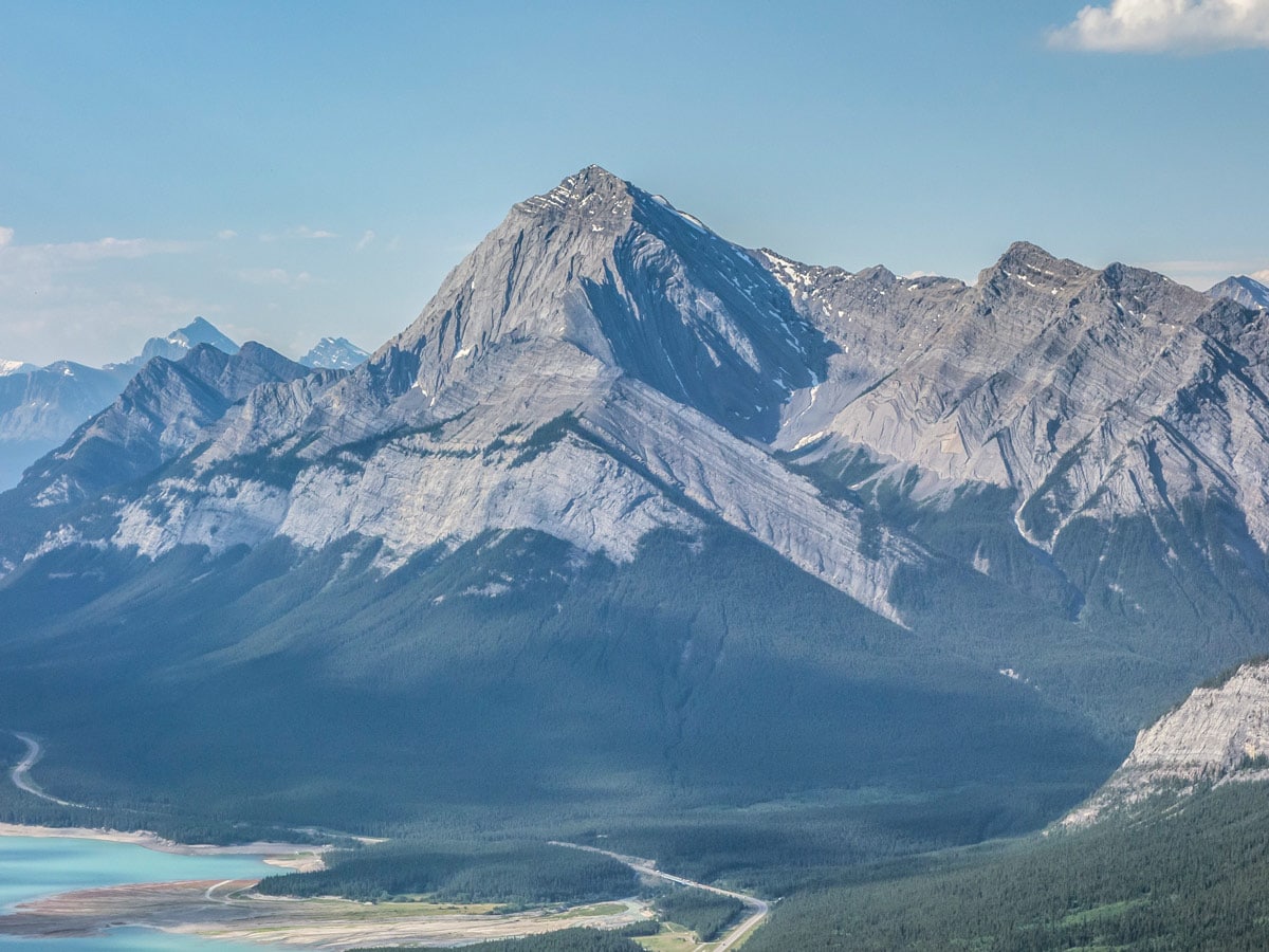
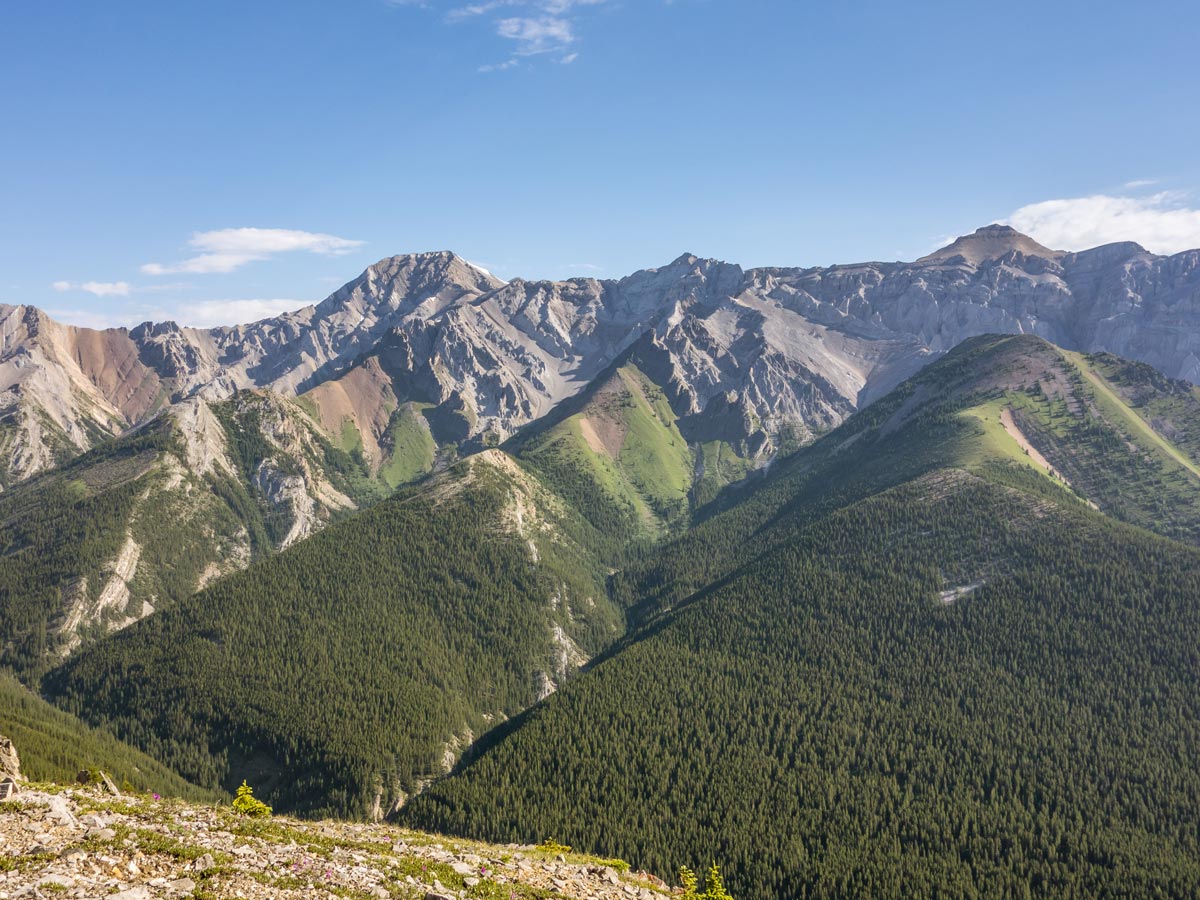
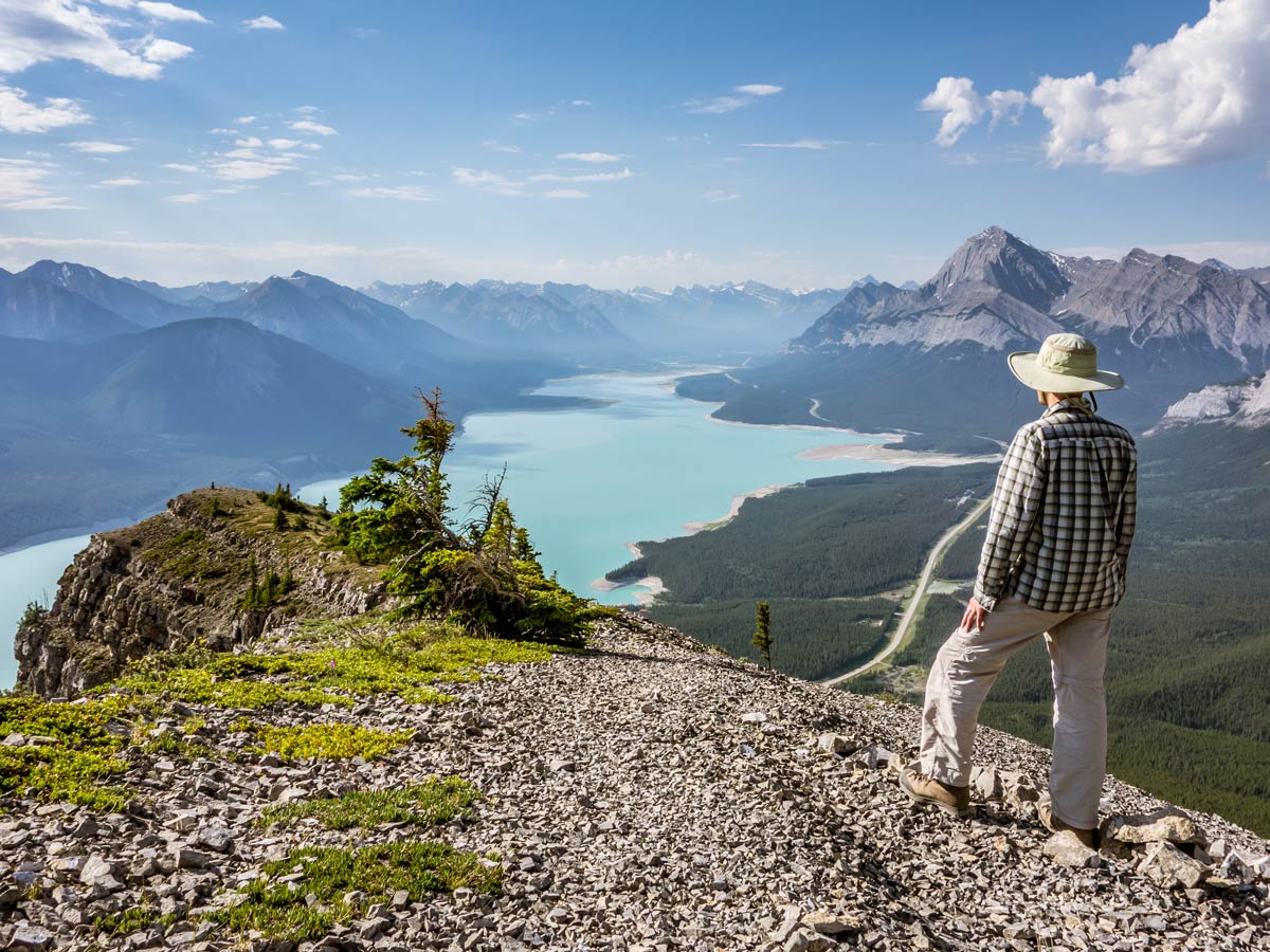
It won’t take you long to leave the tree line (around 15 minutes of hiking) and stunning views to Lake Abraham and the surrounding areas will open up. These views will lead you all the way to the top! The visible path will end here, and from now on you will have to choose the path yourself. Just aim to follow the ridgeline.
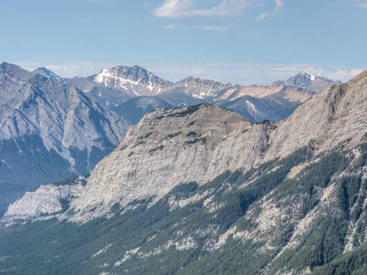
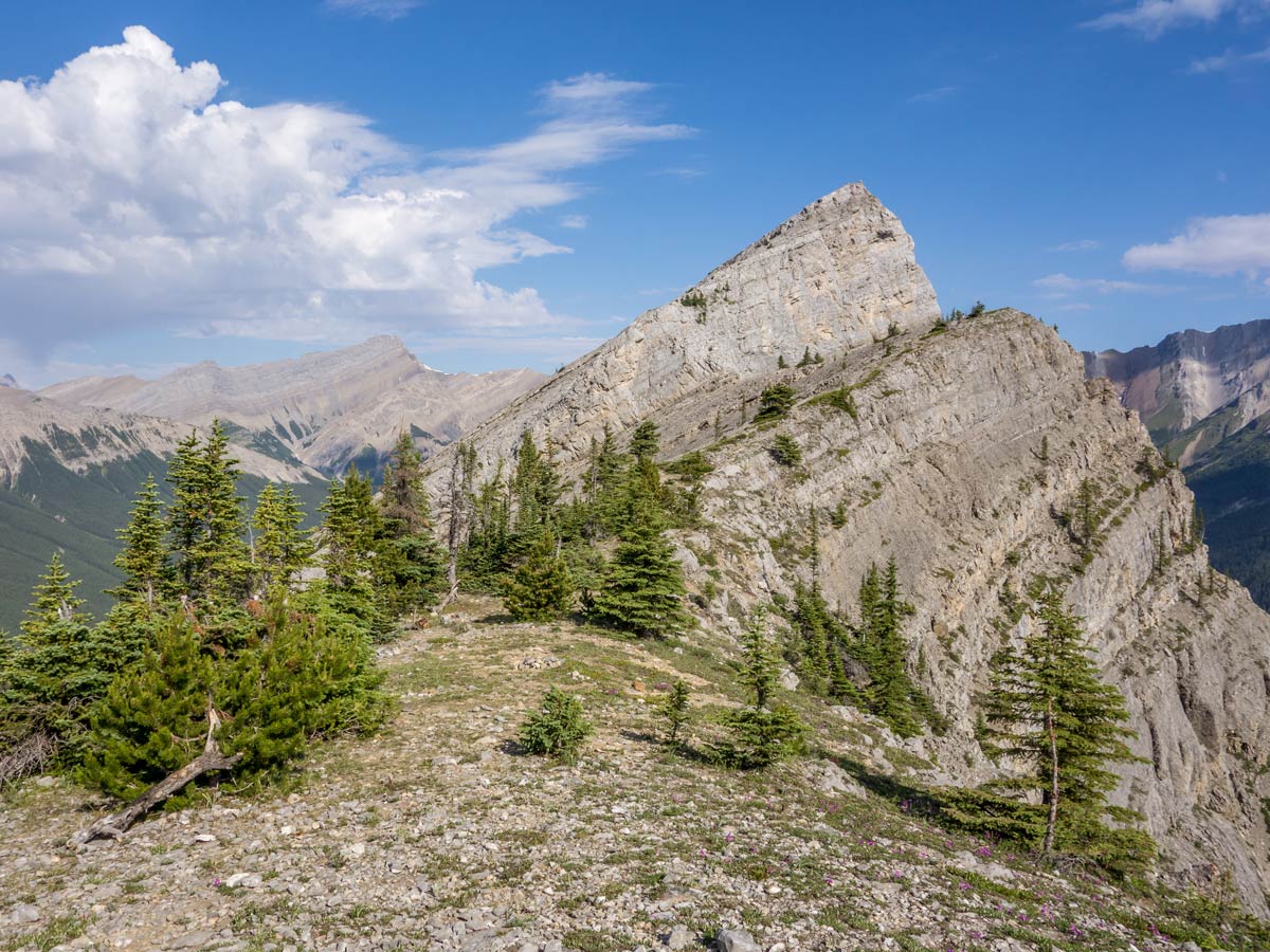
Soon you will see the fake summit in front of you. As you approach, the view to the real summit will open too, but not until almost reaching the top of the fake summit.
Once at the top of the false summit, you will see the even plot of land where you can rest a little (or put a tent!) and the real summit won’t look too far away from here. Lots of hikers chose to end their scramble here. Don’t forget to sign into the summit register!
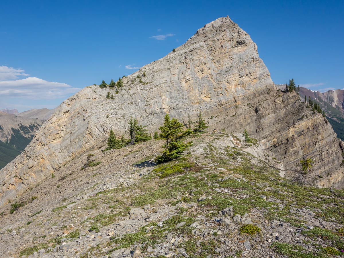
The path to the real summit is quite the challenge and is advised for experienced scramblers only, so be careful when deciding on whether your final destination of the scramble is the real or fake summit.
Retrace your footsteps back once you’ve reached the top (regardless if it’s fake or real summit). Be very careful, as the descent will put up even more challenge – it’s almost impossible not to slip on slate rock and rubble.
Insider Hints
Stay at Aurum Lodge or one of the numerous campsites along the Abraham Lake
Arriving from Calgary? Make your way through Icefields Parkway instead of Red Deer – the distance is similar, but Icefields Parkway is way more scenic!
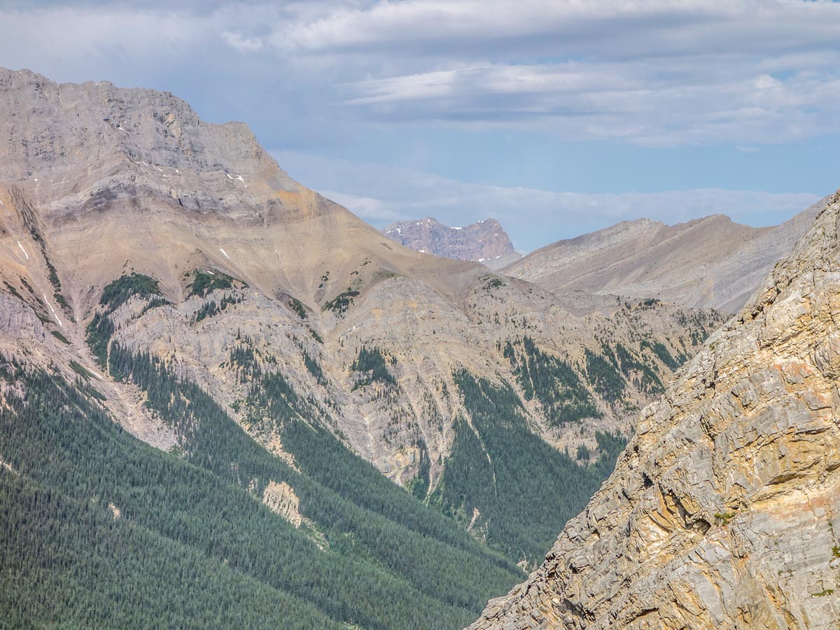
Here’s the secret – what is called the ‘real summit’ on this hike is actually not that ‘real’! There are at least 10 summits along this ridge and some very experienced scramblers go even further. This trail is very long, unmarked and gives the new meaning to the word ‘challenging’ on the Vision Quest Ridge’s hike.
Similar hikes to the Vision Quest Ridge Trail hike
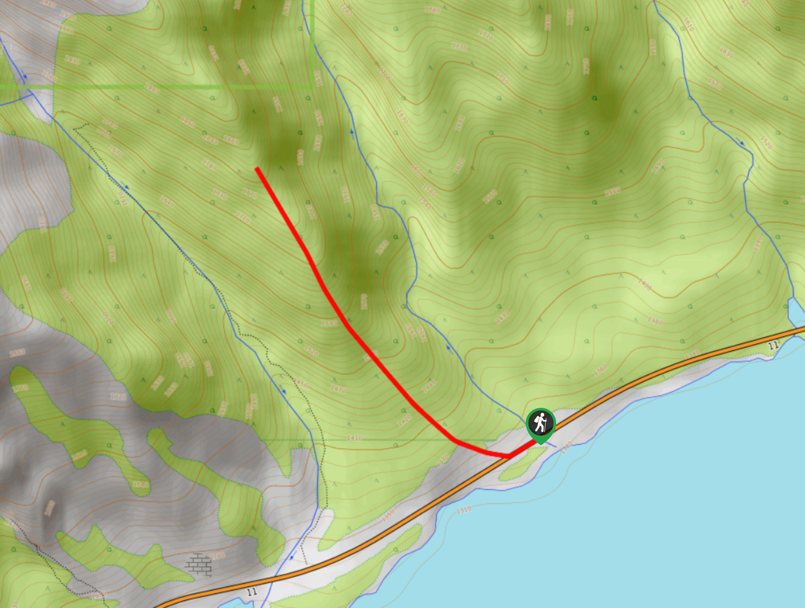
Onion Lake Trail
Onion Lake is a secluded subalpine lake that makes for a long day hike. The 17.4mi trail is…
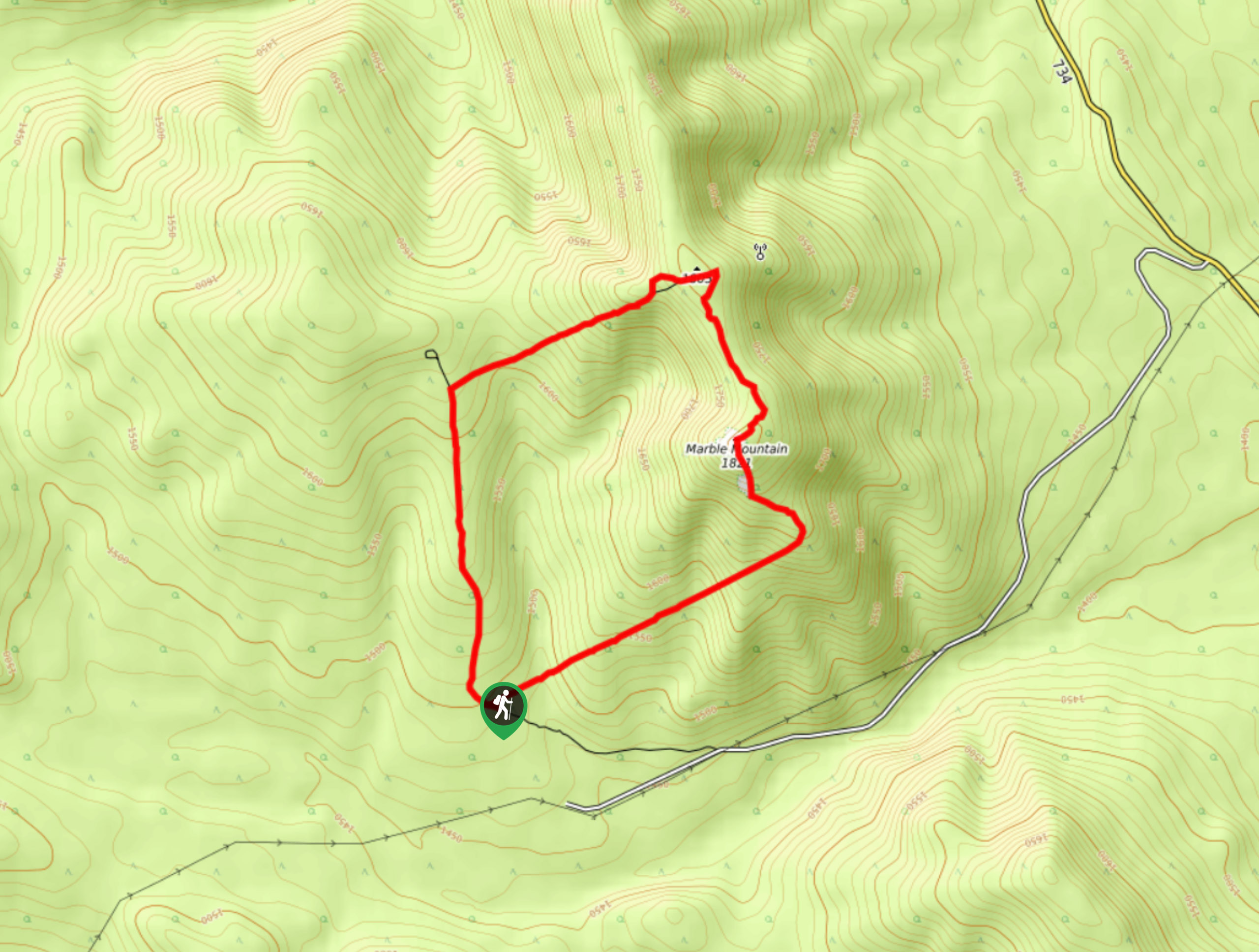
Marble Mountain Hike
Getting to the Marble Mountain trailhead can be tricky and out of the way, but this remote trail is sure…
Paula’s Ridge Hike
Paula’s Ridge Hike is just east of Mount Abraham and offers incredible views of Abraham Lake. If you are looking…
Comments