Ram Mountain Hike
View Photos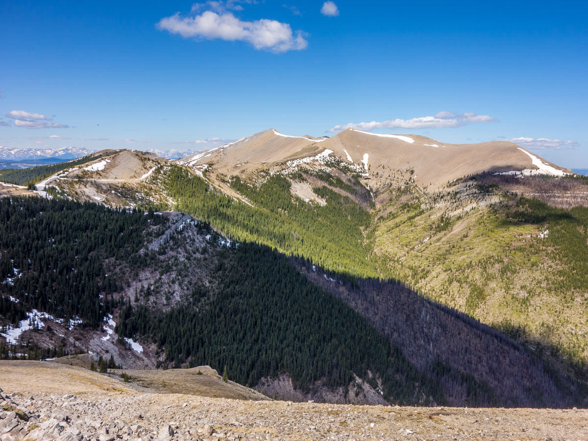

Ram Mountain Hike
Difficulty Rating:
The Ram Mountain hike is a beautiful hiking route that is located in the middle of nowhere - around a 1-hour drive from Nordegg and 3.5 from Calgary. This trail is quite remote and not very well known, and that adds up to the whole magic of the surrounding area. Even though this hike is quite long, the route is very pleasant, as it inclines quite slowly, and evenly— so fit hikers might even call this trail ‘easy’!
Getting there
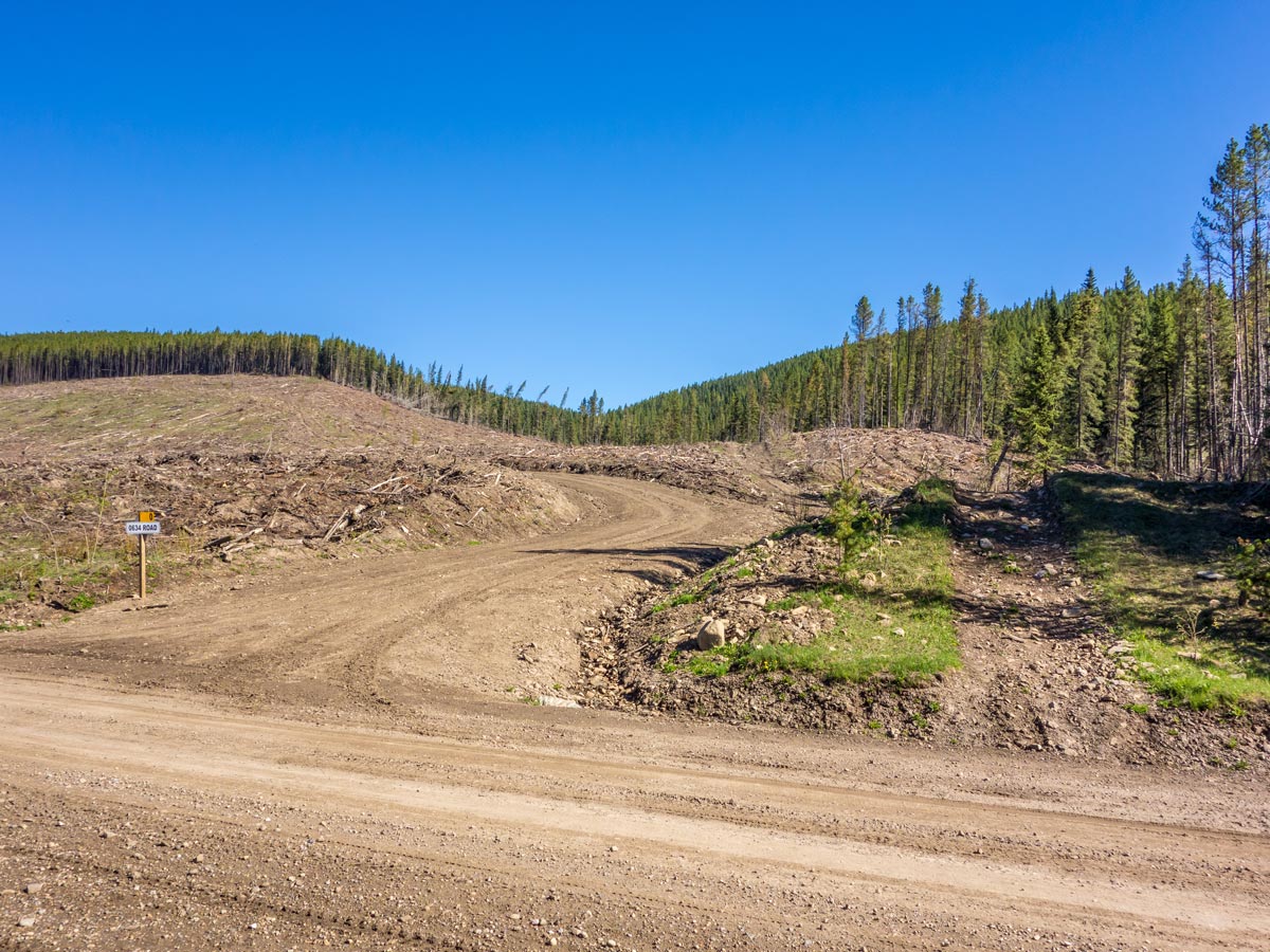
We advise on using our GPS file to help you to locate the trailhead as the road to it might change due to logging activities in surrounding forests. Use your own judgment to find the optimal route here.

About
| When to do | May - October |
| Backcountry Campsites | None |
| Pets allowed | Yes - On Leash |
| Family friendly | No |
| Route Signage | None |
| Crowd Levels | Moderate |
| Route Type | Out and back |
Ram Mountain Hike
Elevation Graph
Weather
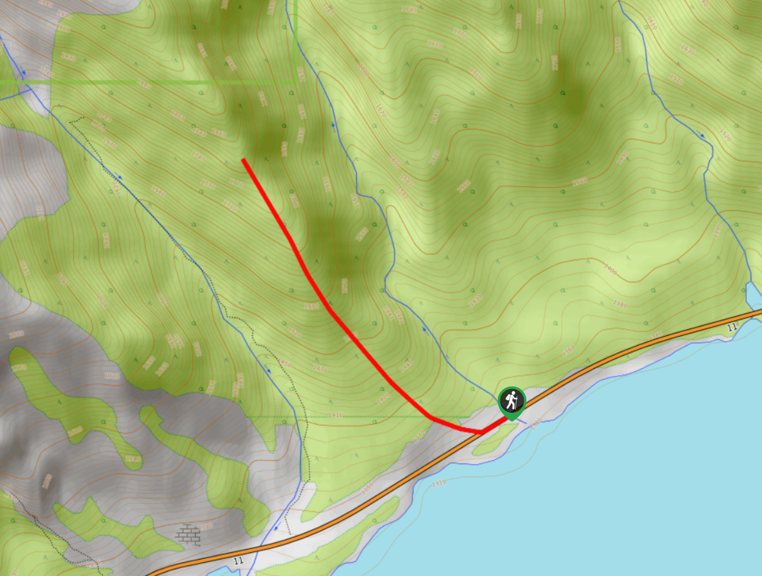
Route Description for Ram Mountain Hike
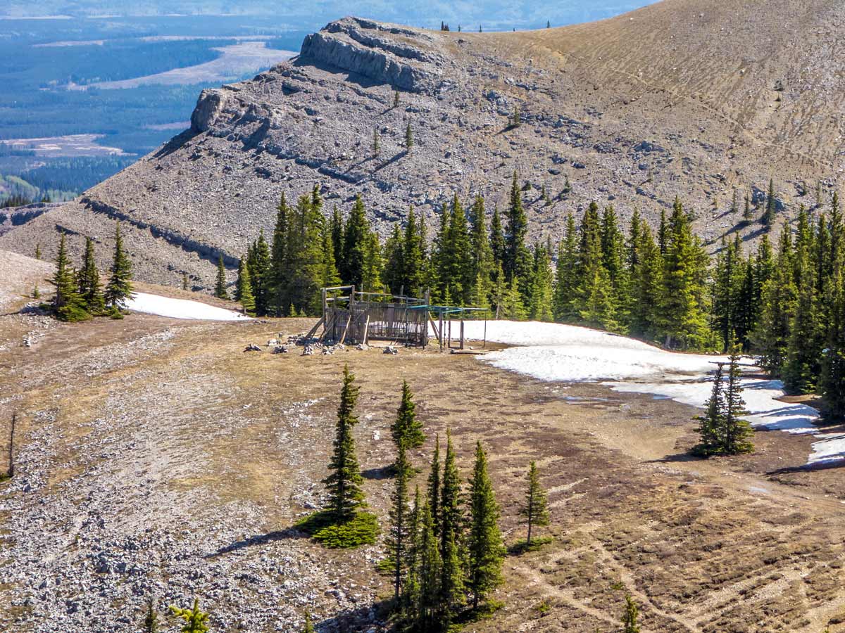
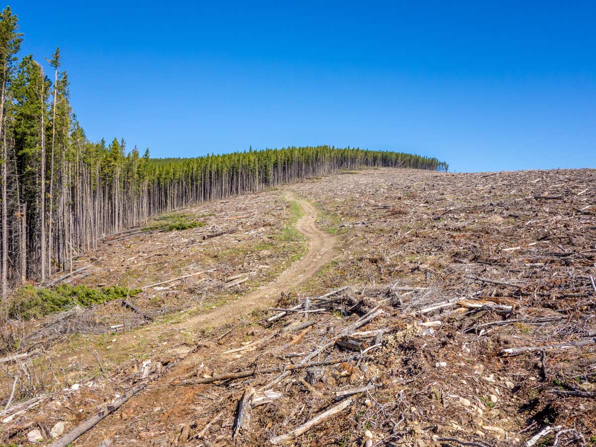
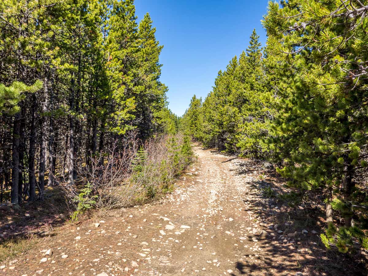
On the Ram Mountain Trail, the logging activity in the surrounding forests has made finding the trailhead of the Ram Overlook hike quite challenging, so you will have to use your navigational skills. The beginning of the trail takes place in the wooded area that has been constantly changing its face during the recent years, but the old path to the lookout is still there!
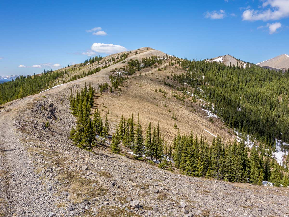
After parking your car near the logging road, make your way towards the mountain on an old dirt road that starts right next to the logging road. You will enter and leave the forest as you go (now maybe even more than once!).
Later on, in the meadows, this road will end. Look around and you will see another road nearby. Take that path.
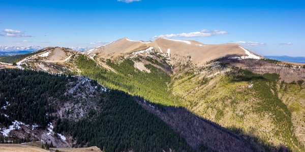
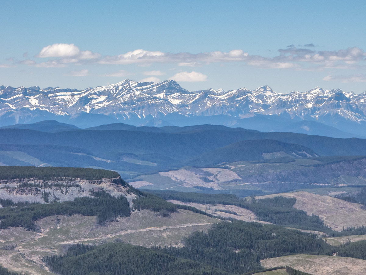
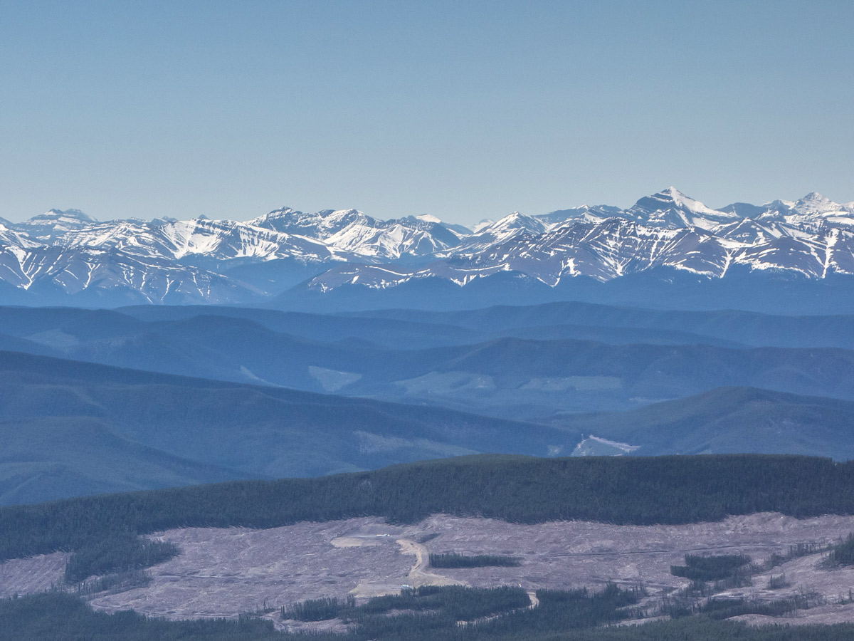
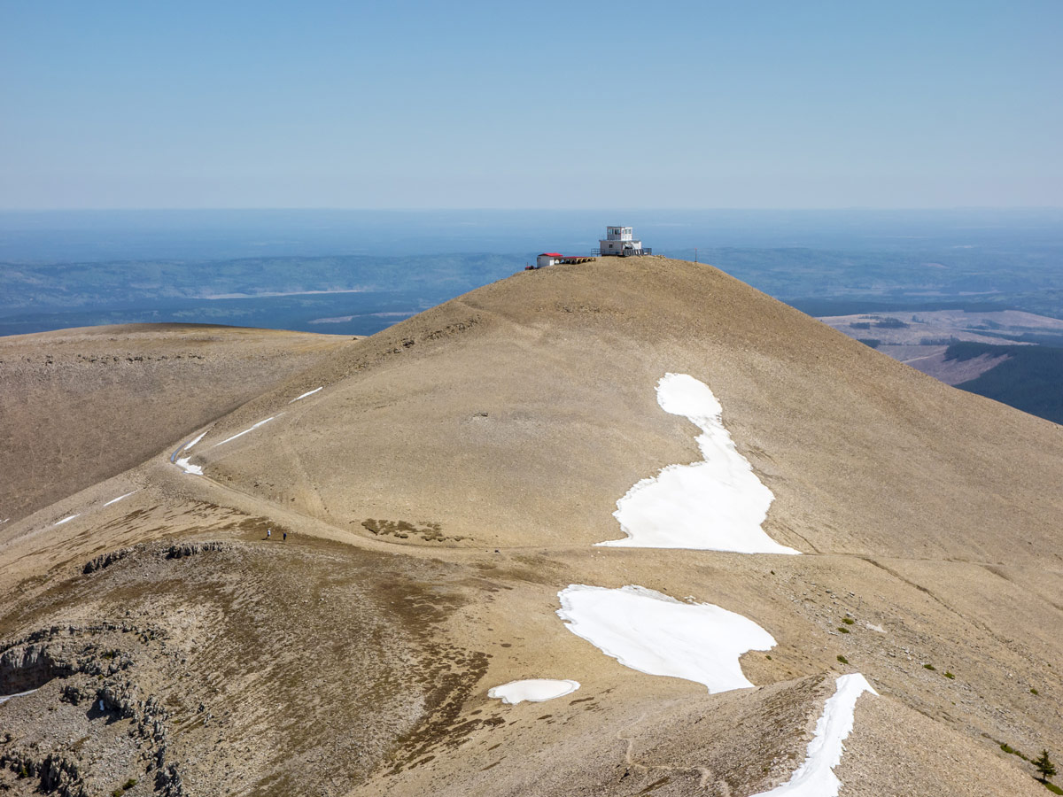
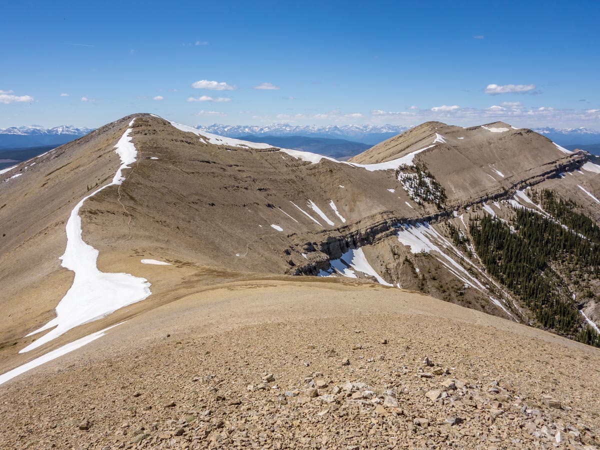
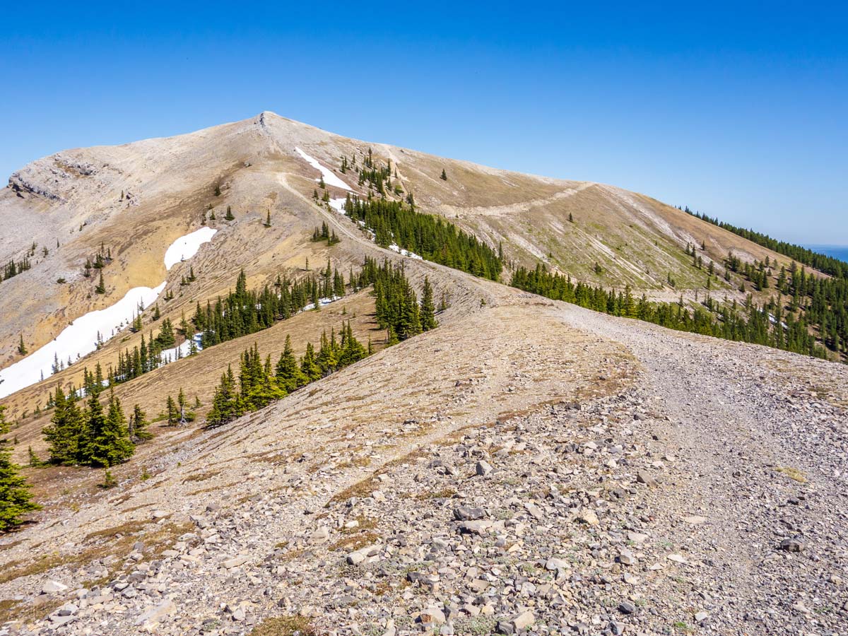
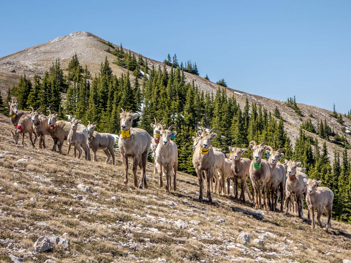
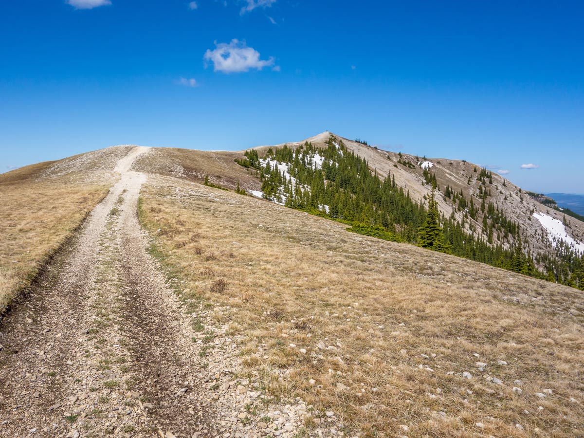
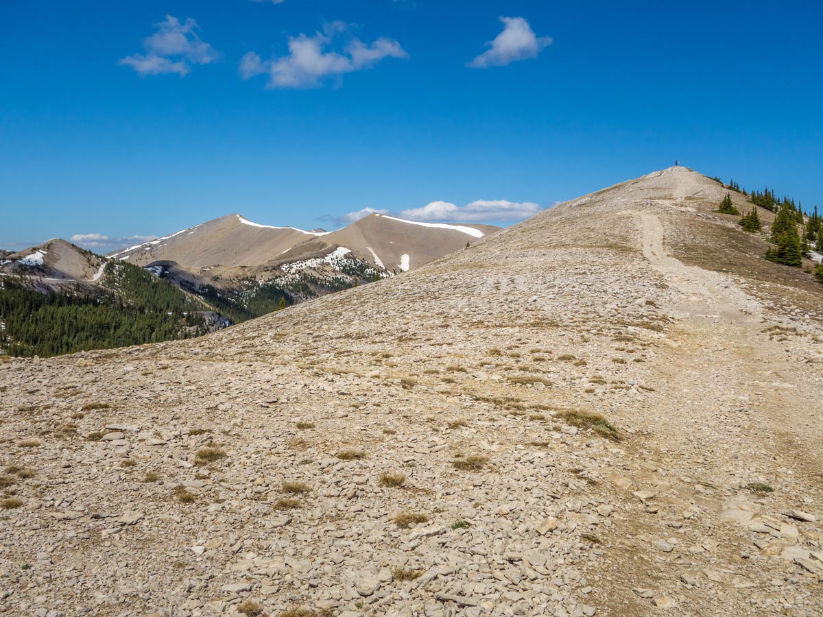
The trail here gets very easy to follow, as you can see the way up from a far distance. Continue and as you leave the tree line, beautiful surrounding views will open up.
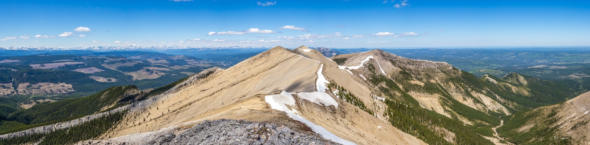
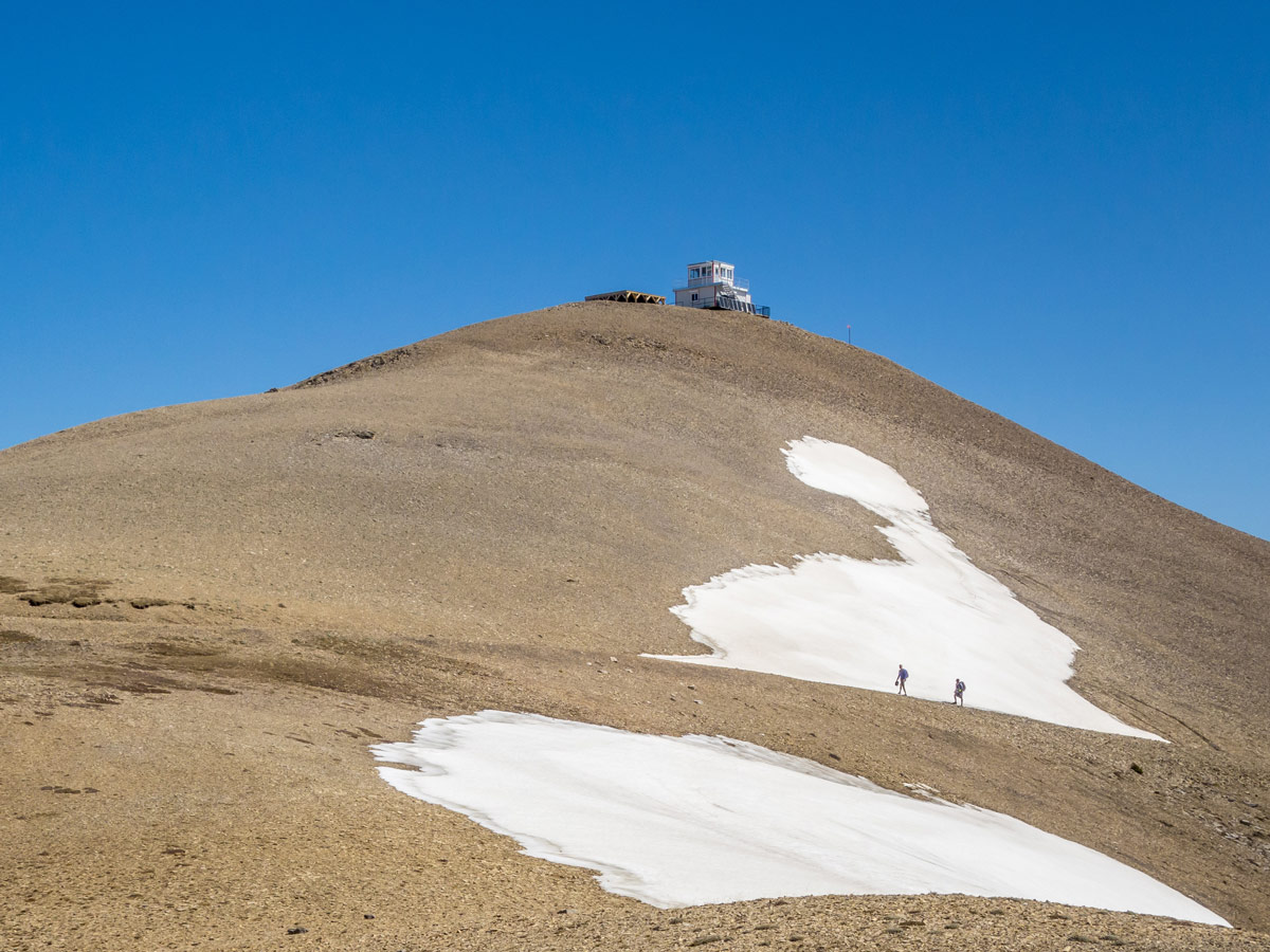
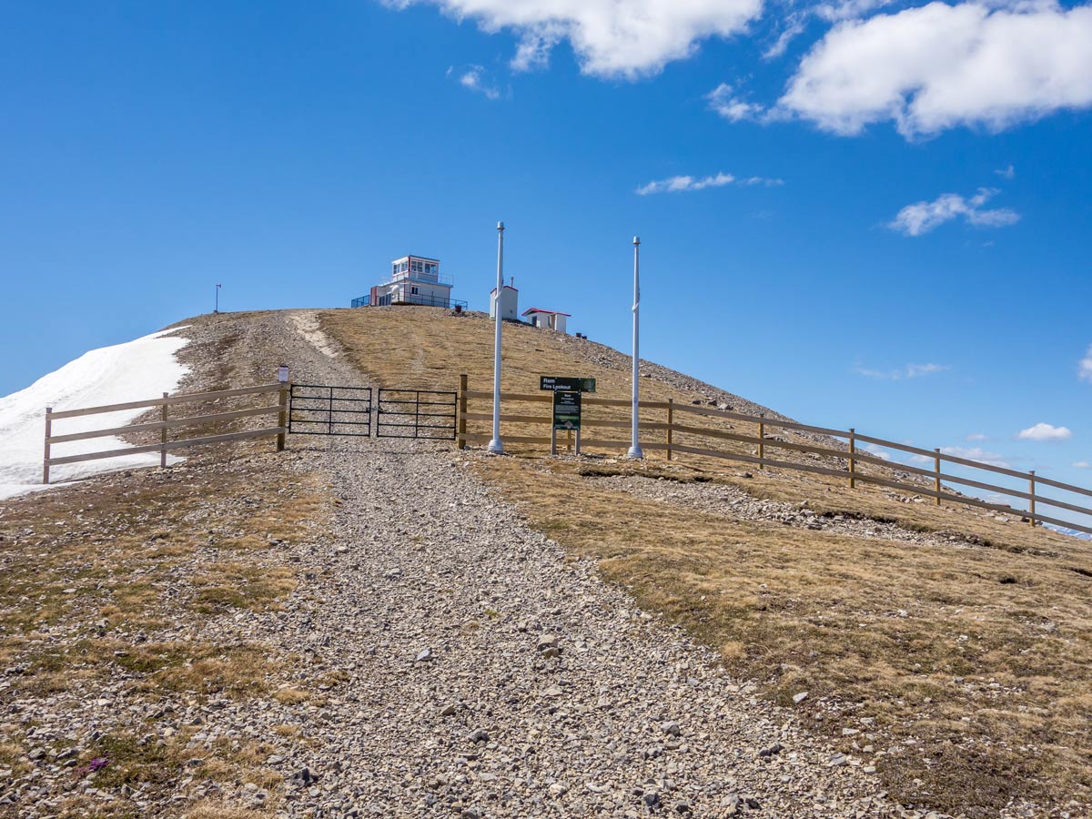
Quite early into the trail, you will notice that the top of the Ram Mountain is split into two summits. The lookout is on the left side, but the actual peak and highest point of the mountain is the one on the right side. The actual road leads to the lookout peak, but there’s a clear path to the actual summit too.
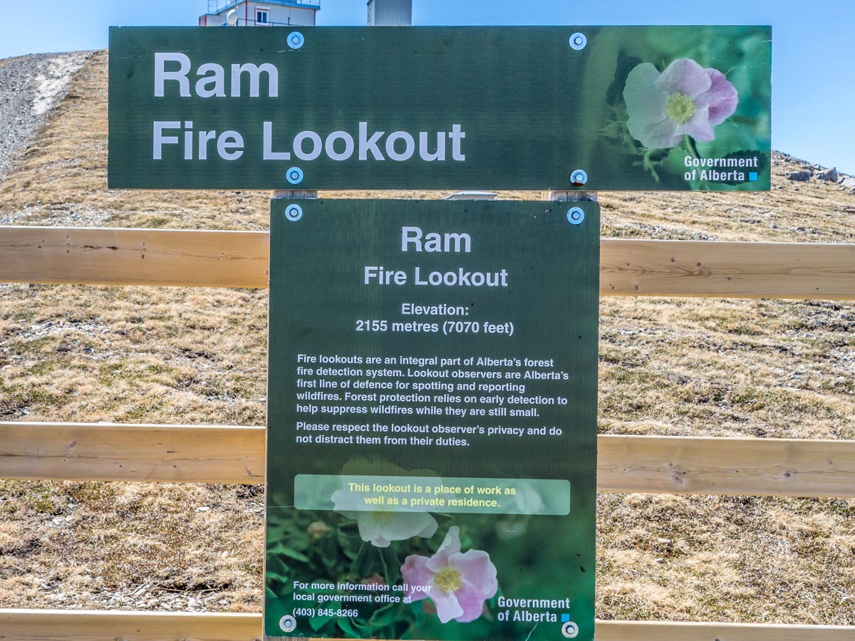
It’s important not to enter the fenced lookout territory without permission, so if you can’t see the attendant (who lives on-site) within your eyesight and can’t ask, don’t attempt to cross the fence. Trespassers have noted getting incident reports here. We have no idea what they are doing with these reports and we don’t want to find out!
After enjoying the view from the peak (or both peaks if you are lucky to get permission!), retrace your steps back the same trail you came up.
Insider Hints
Don’t cross the fenced territory on the top of the lookout without permission!
If you have enough time to explore the territory before the hike, you can attempt to drive the road a few kilometers further than the trailhead. There are rumours that there’s a logging road that allows hikers to approach the path closer to the top.
Similar hikes to the Ram Mountain Hike hike
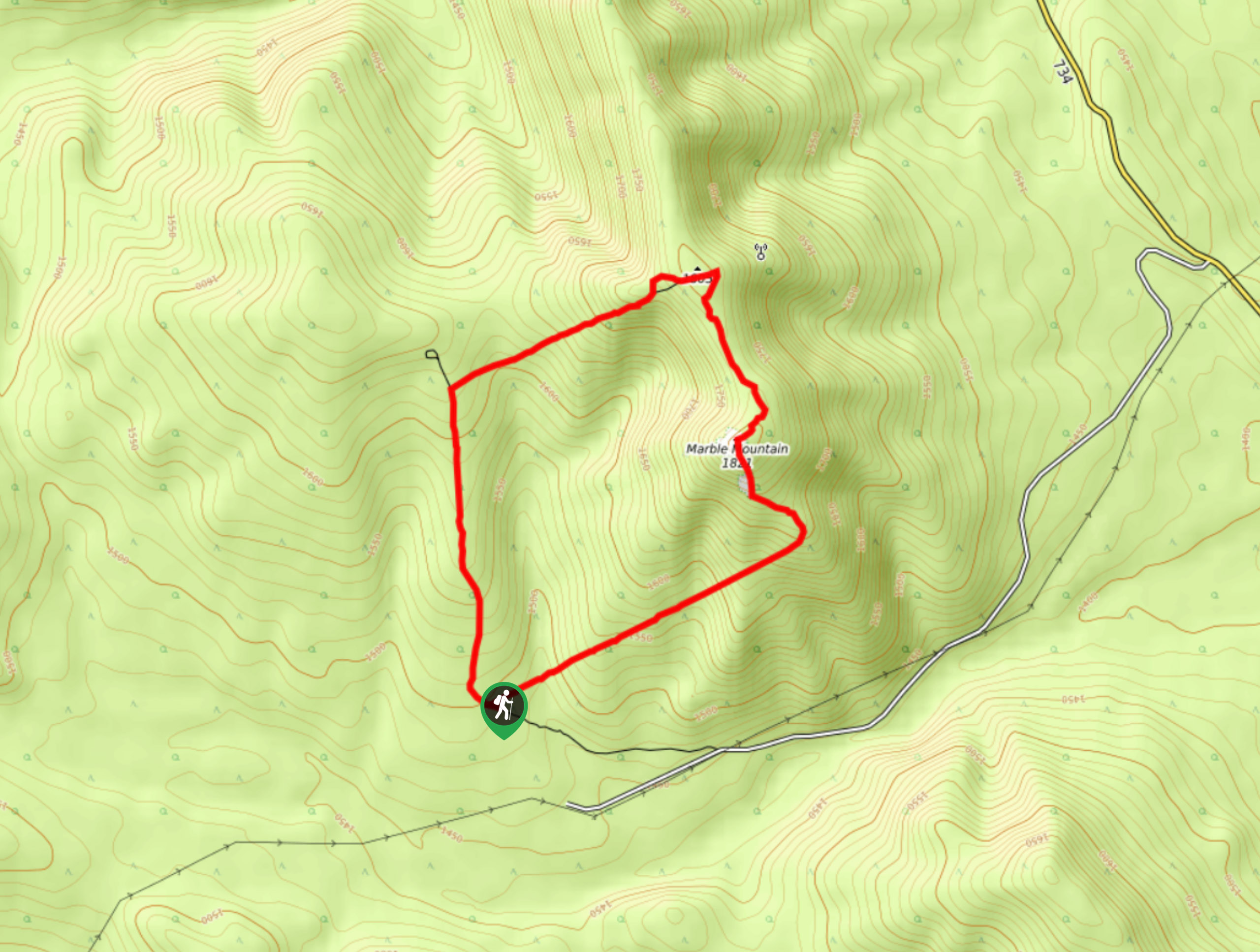
Marble Mountain Hike
Getting to the Marble Mountain trailhead can be tricky and out of the way, but this remote trail is sure…
Paula’s Ridge Hike
Paula’s Ridge Hike is just east of Mount Abraham and offers incredible views of Abraham Lake. If you are looking…
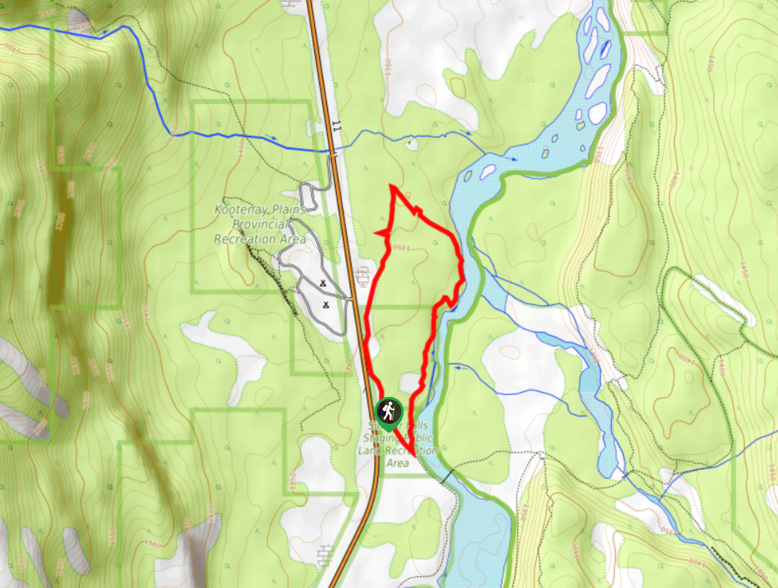
Kootenay Plains Heritage Trail
Take in some history on the Kootenay Plains Heritage Trail. The trail travels through the ecological preserve and passes by…
Comments