Tuff Puff Ridge Hike
View Photos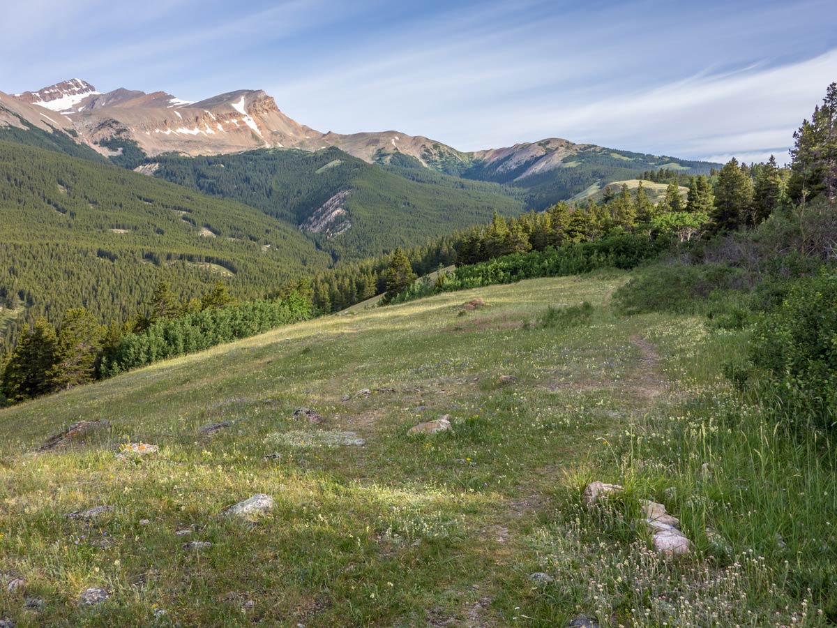
Tuff Puff Ridge Hike
Difficulty Rating:
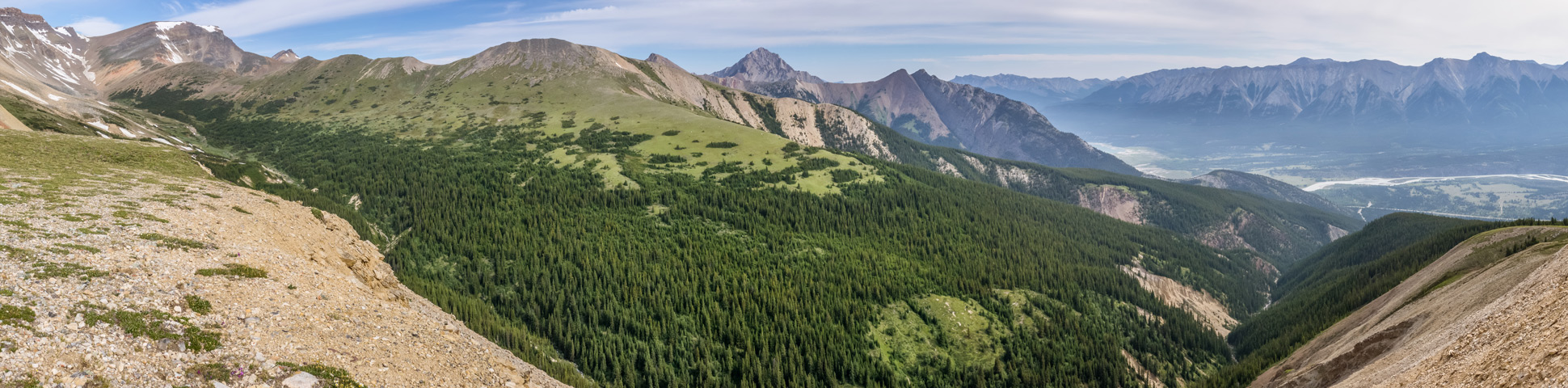
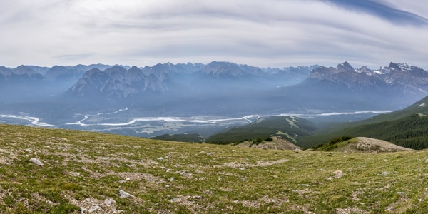
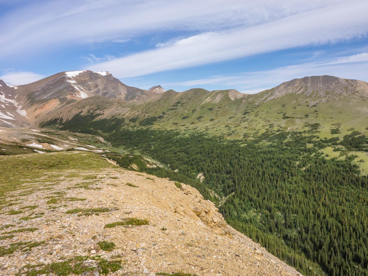
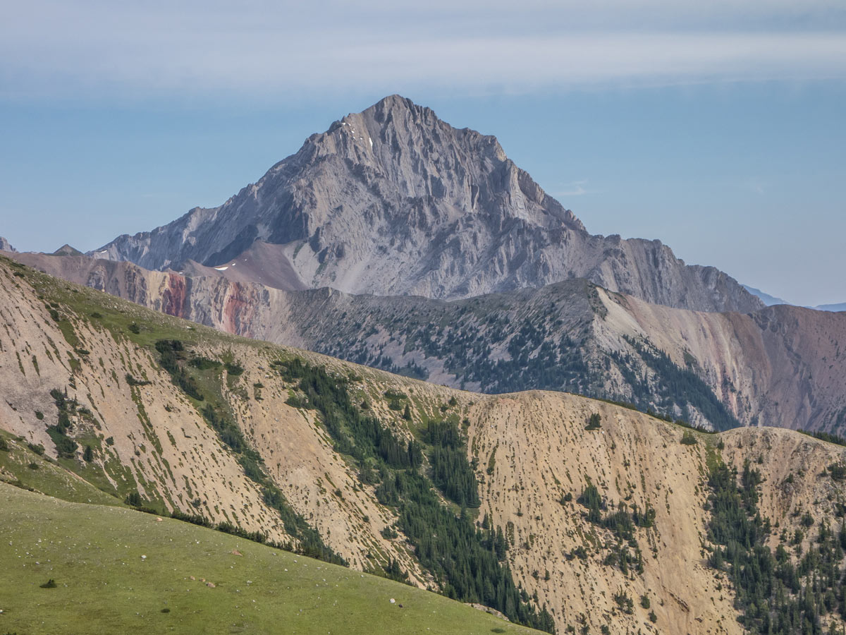
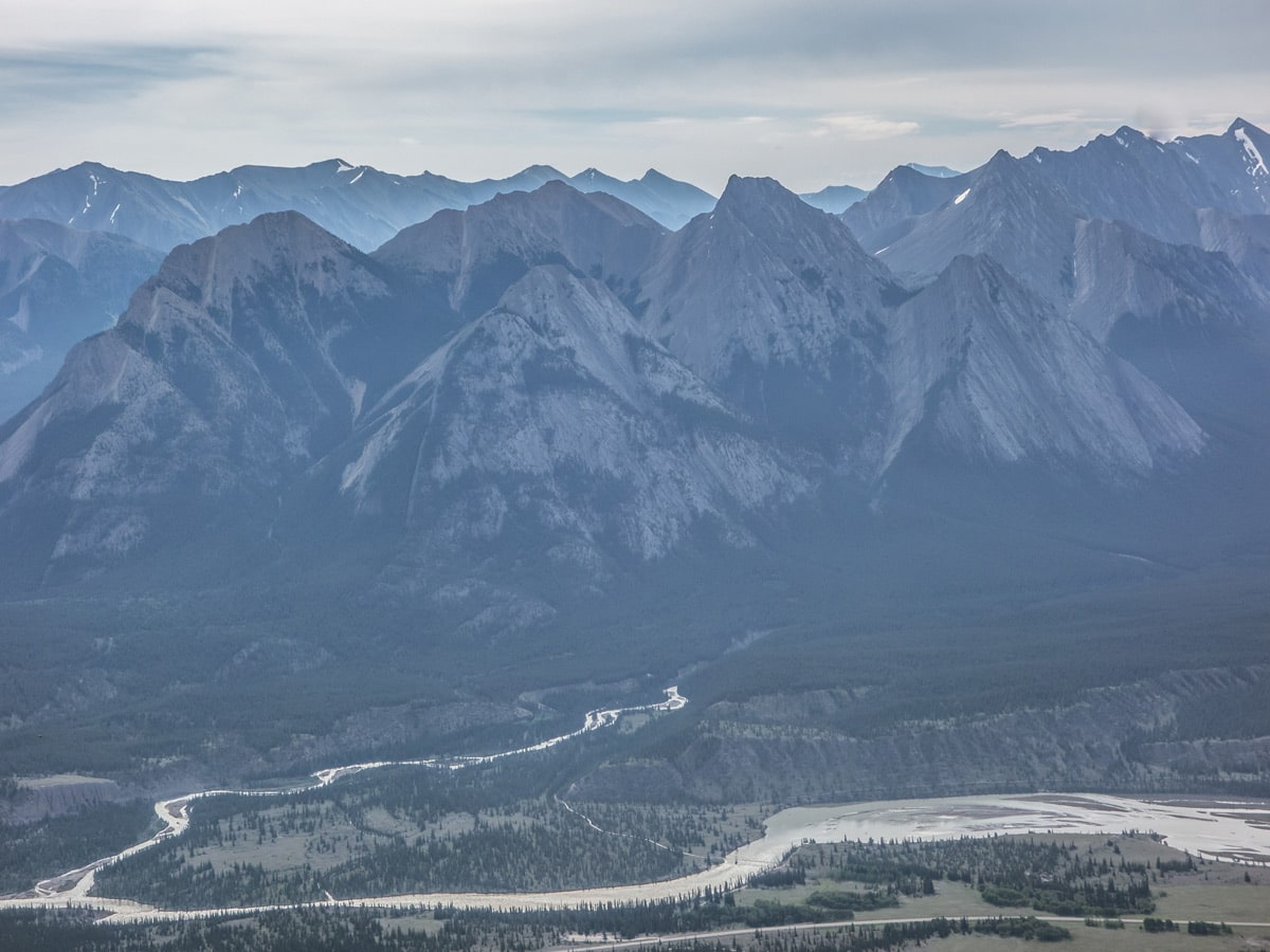
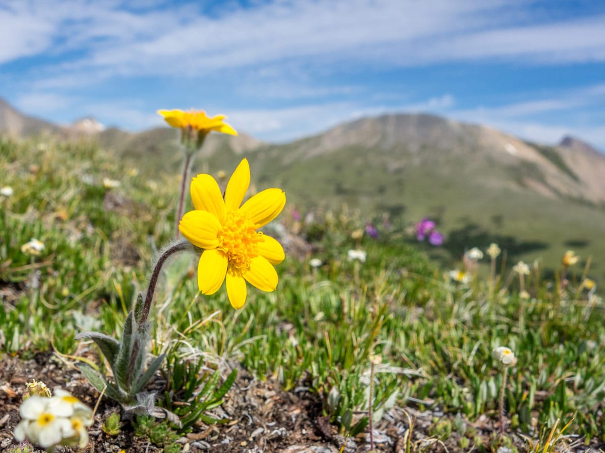
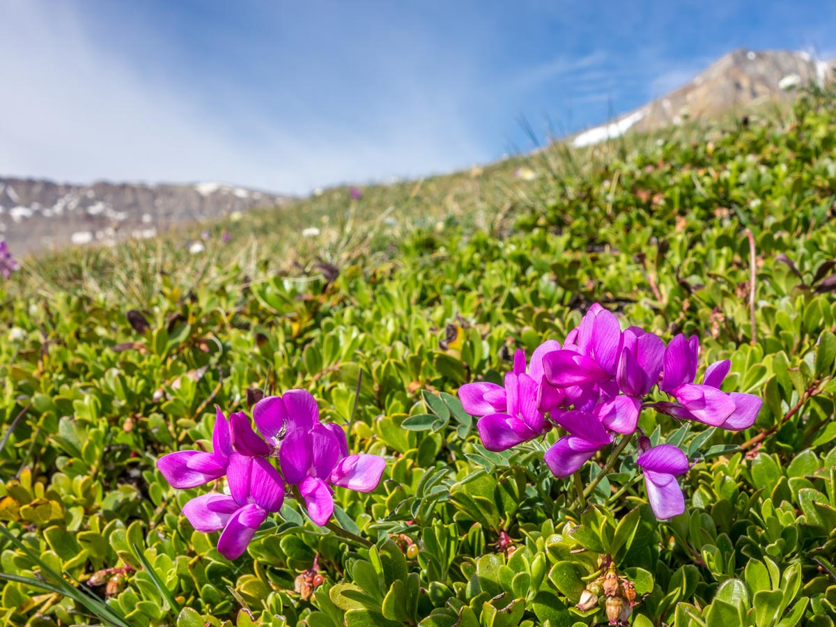
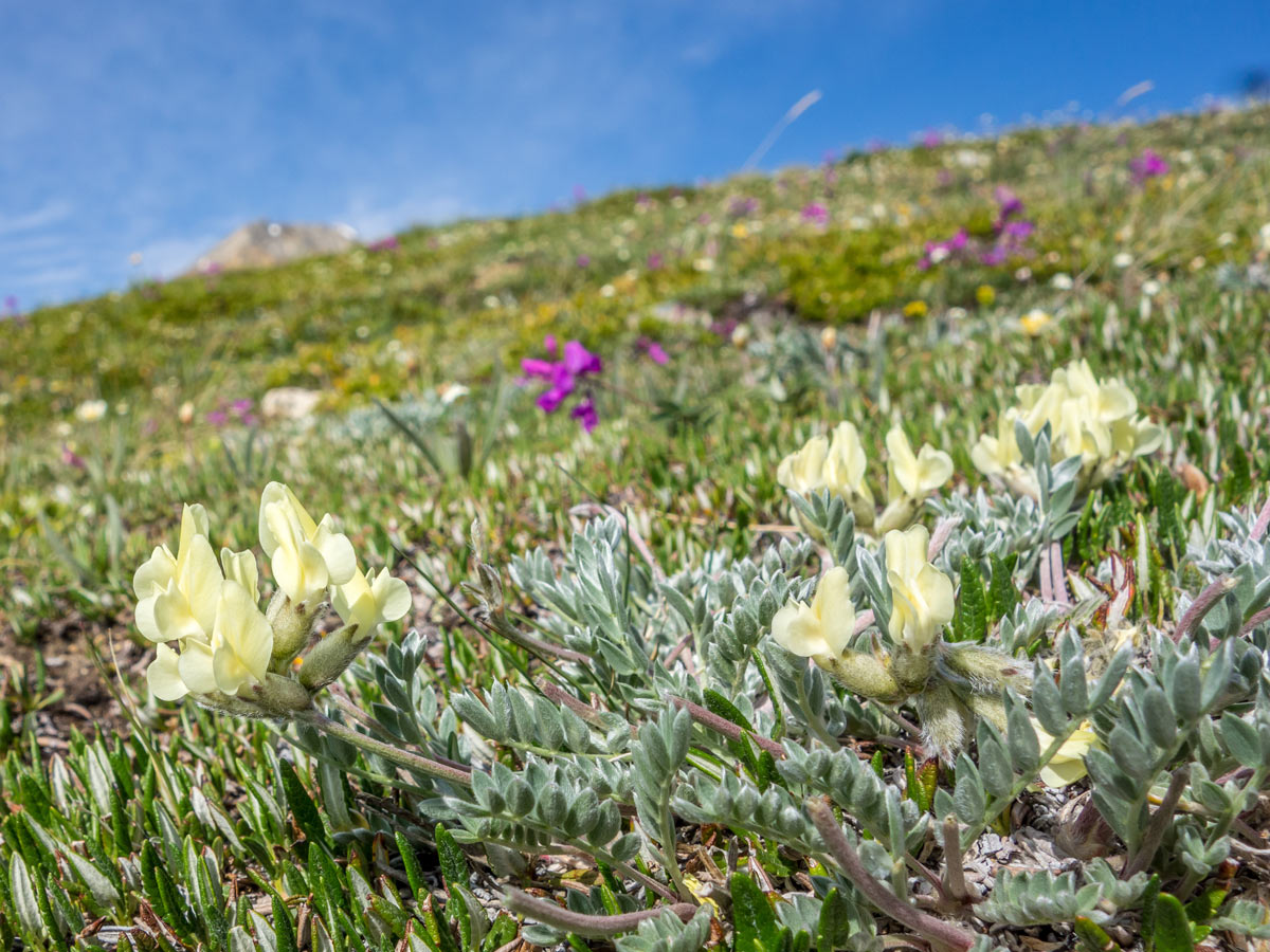
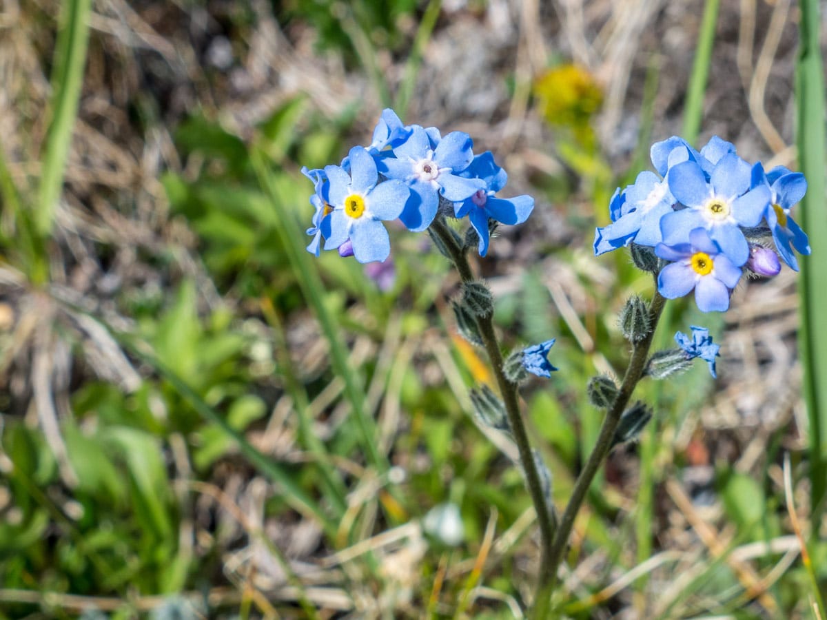
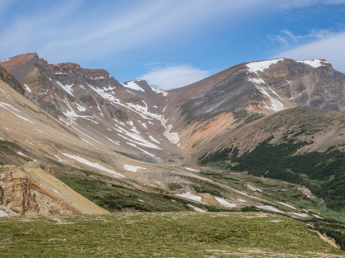
Tuff Puff Ridge is a beautiful trail near David Thompson Highway that attracts a lot of hikers, not only because of its ear-catching name, but also because of the blooming wildflowers surrounding it. The trail is of great quality and the summit has beautiful views of the surrounding Canadian Rockies. You will be able to observe Whirlpool Ridge, Two O-Clock Ridge and North Saskatchewan River from the best angles!
Getting there
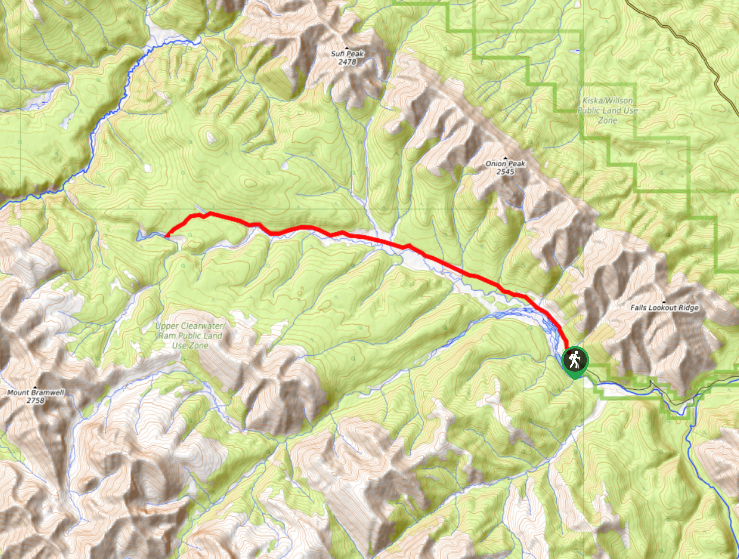
Park your car next to David Thompson Highway Kinglet Lake and Tuff Puff Trailhead, 14.9mi east of Highway 93.

About
| When to do | June-October |
| Backcountry Campsites | Near Kinglet Lake |
| Pets allowed | Yes - On Leash |
| Family friendly | No |
| Route Signage | Poor |
| Crowd Levels | Low |
| Route Type | Out and back |
Tuff Puff Ridge Hike
Elevation Graph
Weather
Route Description for Tuff Puff Ridge Hike
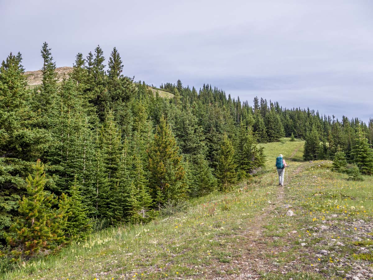
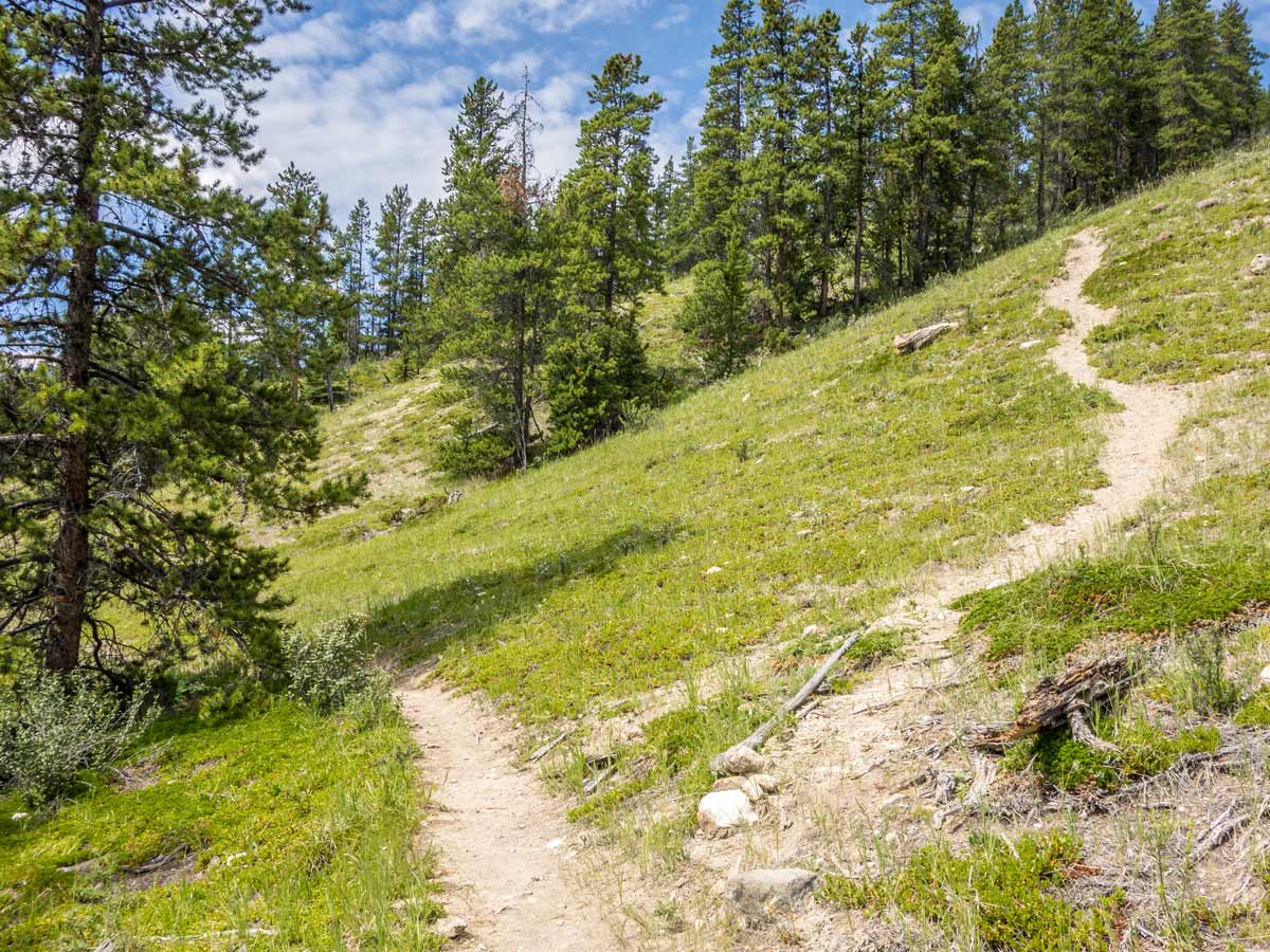
Start the Tuff Puff Ridge hike after dropping off your car near the gravel pullout from the Highway and continue walking along the gravel path. After a few hundred meters there will be a path going to the ridge in front of you – take it.
There will be several small forks in the beginning, continue going up on the most obvious path. Later, you will reach a fork with two paths: left path continuing on quite even terrain and right one ascending through a steep slope. Take whichever one you prefer, as these paths will later merge into one and they both are fine for ascending and descending. The right path is slightly shorter, but the difference is not big.
After the steeper ascent, the elevation will soften up a bit and the trail will become very clear. You will find yourself in the meadows full of wildflowers and forested paths.
Soon you will reach a less obvious fork. You will be able to see words spelled out on the ground with rocks ‘King’ and ‘Tuff’. The left trail will lead to the Kinglet Lake and the right one – to our destination, Tuff Puff Ridge. Take the right path.
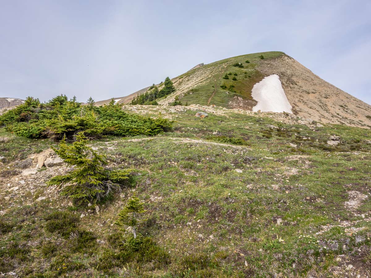
As you approach the summit, the trail will steepen again. Shortly, you will reach the summit. Enjoy the expansive views of surrounding ridges of Canadian Rockies: Whirlpool Ridge, Two O-Clock Ridge and North Saskatchewan River.
Return the same way you came.
Insider Hints
On the Tuff Puff Ridge hike, lots of hikers prefer merging this trail with Kinglet Lake Trail and making it a loop – you can try it too!
During summer, this trail might get quite hot – get plenty of water
Try visiting during early summer for the sea of blooming wildflowers
Similar hikes to the Tuff Puff Ridge Hike hike
Onion Lake Trail
Onion Lake is a secluded subalpine lake that makes for a long day hike. The 17.4mi trail is…
Marble Mountain Hike
Getting to the Marble Mountain trailhead can be tricky and out of the way, but this remote trail is sure…
Paula’s Ridge Hike
Paula’s Ridge Hike is just east of Mount Abraham and offers incredible views of Abraham Lake. If you are looking…
Comments