hikes in Southwestern Ghats
Southwestern Ghats Hiking
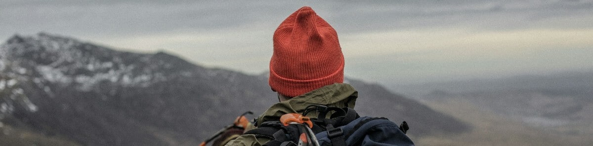
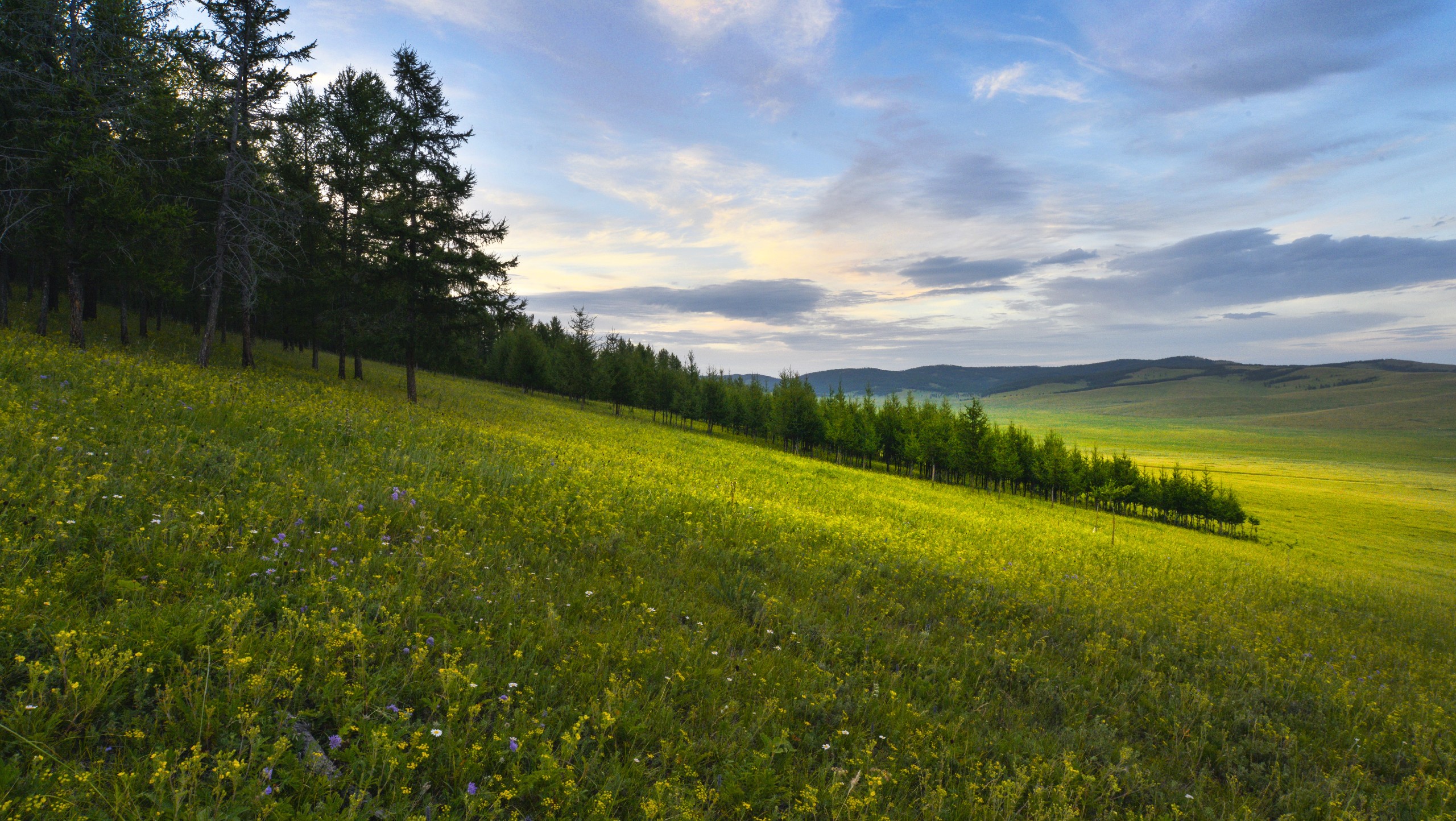
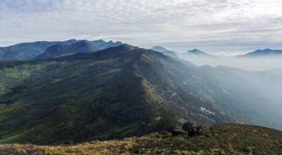
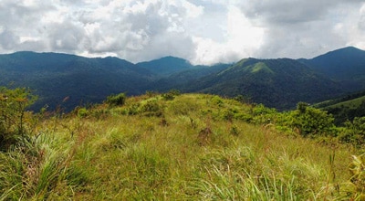
Hiking in the Southwestern Ghats is hiking in paradise. The region stretches for 99419.4mi along the Indian peninsula, making it to the top of many thrill seeker’s bucket lists. Recognized for its unparalleled biodiversity, no two hikes will ever be the same, meaning you can return time and time again to experience the magic of this land. Prepare for long but rewarding days as you set off on any trek within the untamed paradise of the Southwestern Ghats, with plenty of options for one-way treks, circuits or lollipop loops. This mountain range has it all!
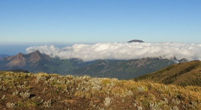
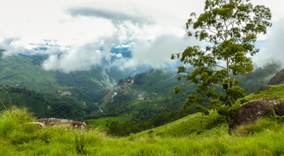
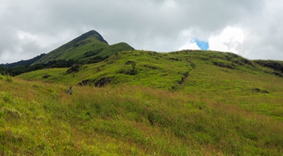
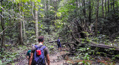
Within the Southwestern Ghats, find the second-highest peak of Meesapulimala that takes hikers past the forested Sky Islands and up between narrow craters before rewarding them with views over the Kolukkumalai Table Land. Or, perhaps walk among the birds at the Cloud Forest hike, set along a pristine forest surrounded by wispy puffs of cloud. You can even roam alongside India’s wildlife on the Chinnar Bush Walk, where the giants of the jungle graze alongside panthers and monkeys.
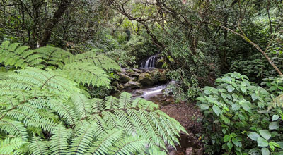
The natural land of the Southwestern Ghats seems to particularly flourish just after the rainy season, turning the jungle and wetlands into a lush and verdant oasis. We recommend visiting between the months of November and June to enjoy the mountain range without the rain (or leeches). Once you’ve completed all the trails you’ve set out to do, you can retire your hiking boots and explore the nearby hillside town of Munnar, where you can dive into the Lakkam Waterfalls and kick your feet up at a tea plantation estate.
Ready for the adventure of a lifetime? Pack your bags and we’ll take care of the rest. Find our Southwestern Ghats hiking guides below to discover the best that India has to offer!
10 Stunning Hikes in the Southwestern Ghats
No matter what hiking trail on the Southwestern Ghats you choose, you’re in for some stunning views overlooking plateaus, hills, mountaintop peaks, and wildflower valleys. While these hikes may not be particularly family friendly, they are perfect for adventure seeking couples, friends, or solo hikers looking to escape the hustle and bustle of the cities of India.
- Meesapulimala Hike: Conquer the second-highest peak in the Southwestern Ghats on the Meesapulimala hike. At the summit, take in unforgettable views over the Munnar Plateau and Korangini Crater.
- Lakshmi Hills Hike: Roam the verdant tea plantation hills that inspired the setting for Life of Pi on the Lakshmi Hills hike. Trek the western slope of the Ghats, stopping to snap photos of peaks, valleys, and gorges as the landscape changes.
- Cloud Forest Walk: Explore this national park dedicated to protecting the rare flora and fauna that can be found in the hills. Hang out with wildlife up in the clouded treetops, where black monkeys, flying squirrels, and mongoose are known to inhabit.
- Chokramudi Hike: For 360-degree views over the Ghats, set out on the Chokramudi hike to reach the third-highest peak in the Southwestern Ghats. Along the path, stop and smell the wildflowers that bloom by the thousands over huge plains.
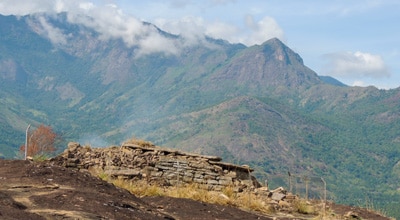
- Old Cart Road Hike: Discover the historical significance of the area on the Old Cart Road hike. This trail was built during the colonial period to provide access to the tea plantations up on the hill. Today, stop and have a cup of tea in the planter's village and learn the local ways.
- Chinnar Bush Walk and Elephant Trail: Listen as elephants whistle and jaguars growl in the savannah-like grasslands of the Chinnar Bush Walk and Elephant Trail. Find blanketed bright green tea fields and further afield, follow the Athiode stream for a peaceful and immersive walk.
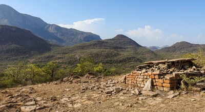
- Heritage Walks-Marayur Village: Connect to the cultural roots of India on the heritage walk through Marayur Village. This village is one of five towns surrounded by the Southwestern Ghats, where locals celebrate traditional customs and are eager to welcome visitors.
- Brahmagiri Peak Hike: Trek to the tip top of Brahmagiri Peak, or the “mountain of the creator,” to take in the splendour that lies below. Once you hit the peak, you’re not done yet! Next, hike along active elephant and tiger corridors for a heart-pounding adventure.
- Chembra Peak Hike: Discover the famous Wayanad Plateau, home to the Nilgiri biosphere and some of the most beautiful natural landscapes on the planet. This hike is challenging and will get the blood pumping as you trek up the Chembra Peak, the highest in the Wayanad Plateau.
- Makki Hills Hike: This hike is surrounded by impenetrable, thick forest, leaving hikers feeling as if they’ve stepped back in time to a pre-civilization world. Enter the tropical rainforest trail for a short and easy walk to the peak that dazzles at both sunrise and sunset.
When is the best time to hike in the Southwestern Ghats?
If you want to experience the Southwestern Ghats without worrying about the rain, November through March sees beautiful, dry weather, but the forest and vegetation may not be as lush as during monsoon season. The mountain range is at its peak natural beauty during monsoon season, which takes place between June and September, but can be dangerous for hikers. Be warned, if you visit during the wet season, be sure to pack layers, a raincoat, leech socks, and waterproof boots.
How to plan a trip to the Southwestern Ghats?
Not sure where to start on planning your trip to Southwestern Ghats? No sweat, we have a full guide on planning your trip to the Southwestern Ghats outlining all our insider secrets, like how to get here, where to stay, and the best food and drinks in the area.
Frequently Asked Questions About the Southwestern Ghats
What are the different ranges which make up the Western Ghats?
There are three main ranges that make up the Western Ghats: the Anaimalai to the north, the Palni to the northeast, and the Cardamom Hills to the south.
What is the tallest mountain in South India?
The highest mountain top is the Doddabetta peak, which is located in Tamil Nadu and is a part of the Nilgiri Hills at the junction of the Western Ghats, as well as the Eastern Ghats.
Are the Southwestern Ghats accessible to hikers?
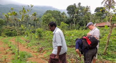
Yes, absolutely! You will likely need to hire a guide for almost any hike in the area, as most trails do not have a self-guided option. Thankfully, there are plenty of amazing naturalist guides in the area to help you along your adventure. Also note that you’ll often also need a 4x4 vehicle to access the starting points of these hikes.
Read MoreThe best hikes in Southwestern Ghats
01. Meesapulimala Hike
Difficulty
Meesapulimala is the second-highest peak in Southwestern Ghats at a height of 8661ft,… Read More
02. Lakshmi Hills Hike
Difficulty
Named after a tea factory division, this cliffy ridge trail on the west side of… Read More
03. Cloud Forest Walk
Difficulty
This Cloud Forest walk takes place in a national park, home to a dedicated nature… Read More
04. Chokramudi (Shiva's Head) Hike
Difficulty
Chokramudi is the third-highest peak in Munnar and makes for insane views for those willing… Read More
05. Old Cart Road Hike
Difficulty
On this Southwestern Ghats hike, you’ll follow an old cart road built during the colonial… Read More
06. Chinnar Bush Walk and Elephant Trail
Difficulty
In the 1890’s, Colonel Valentine discovered this passage to cross the leeward hills to reach… Read More
07. Heritage Walks-Marayur Village
Difficulty
The Heritage Walks are soft hiking trails in the ethnic villages of Southwestern Ghats. The… Read More
08. Brahmagiri Peak Hike
Difficulty
On the hike to Bhramagiri Peak, follow the lush, evergreen wet forest tracts of Thirunelli… Read More
09. Chembra Peak Hike
Difficulty
The Chembra Peak calls Wayanad home, a plateau in the west escarpment of the Nilgiri… Read More
10. Makki Hills Hike
Difficulty
The Makki Hill ranges are located in the western slope of the Ghats. Their lush,… Read More
Are we missing your favourite hike?
Tell us! If you've got photos, a GPS track and know the hike, we'd love to share your favourite hike with the rest of the 10Adventures community.
Find a Hotel in Southwestern Ghats
Support 10Adventures by booking your hotel through one of our links.