Brahmagiri Peak Hike
View Photos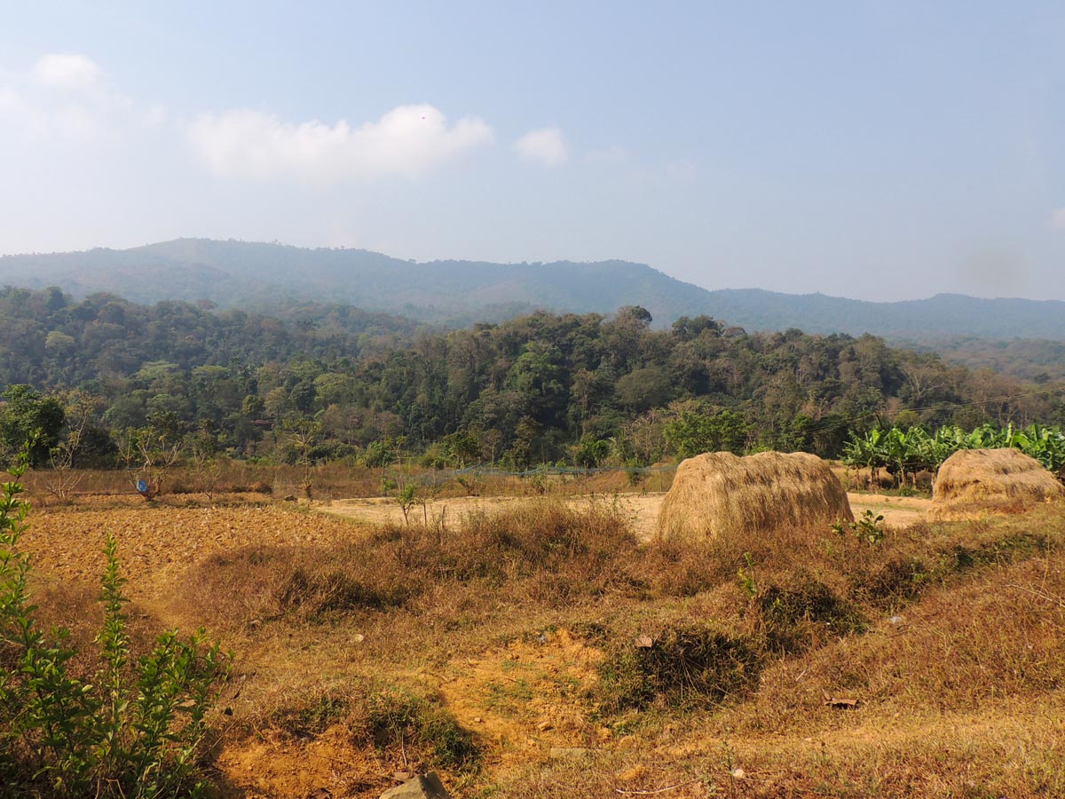
Brahmagiri Peak Hike
Difficulty Rating:
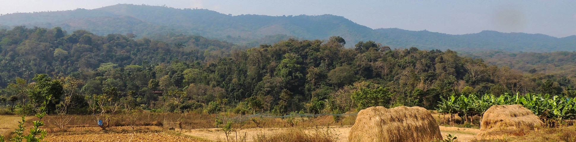
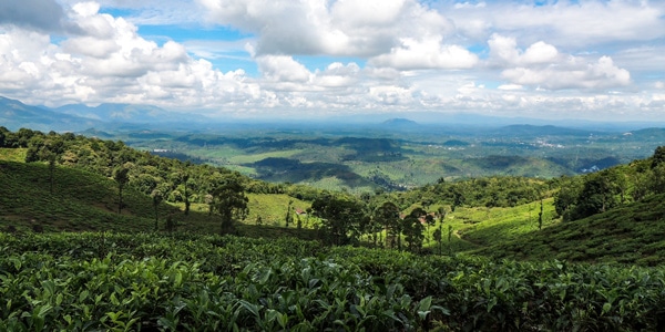
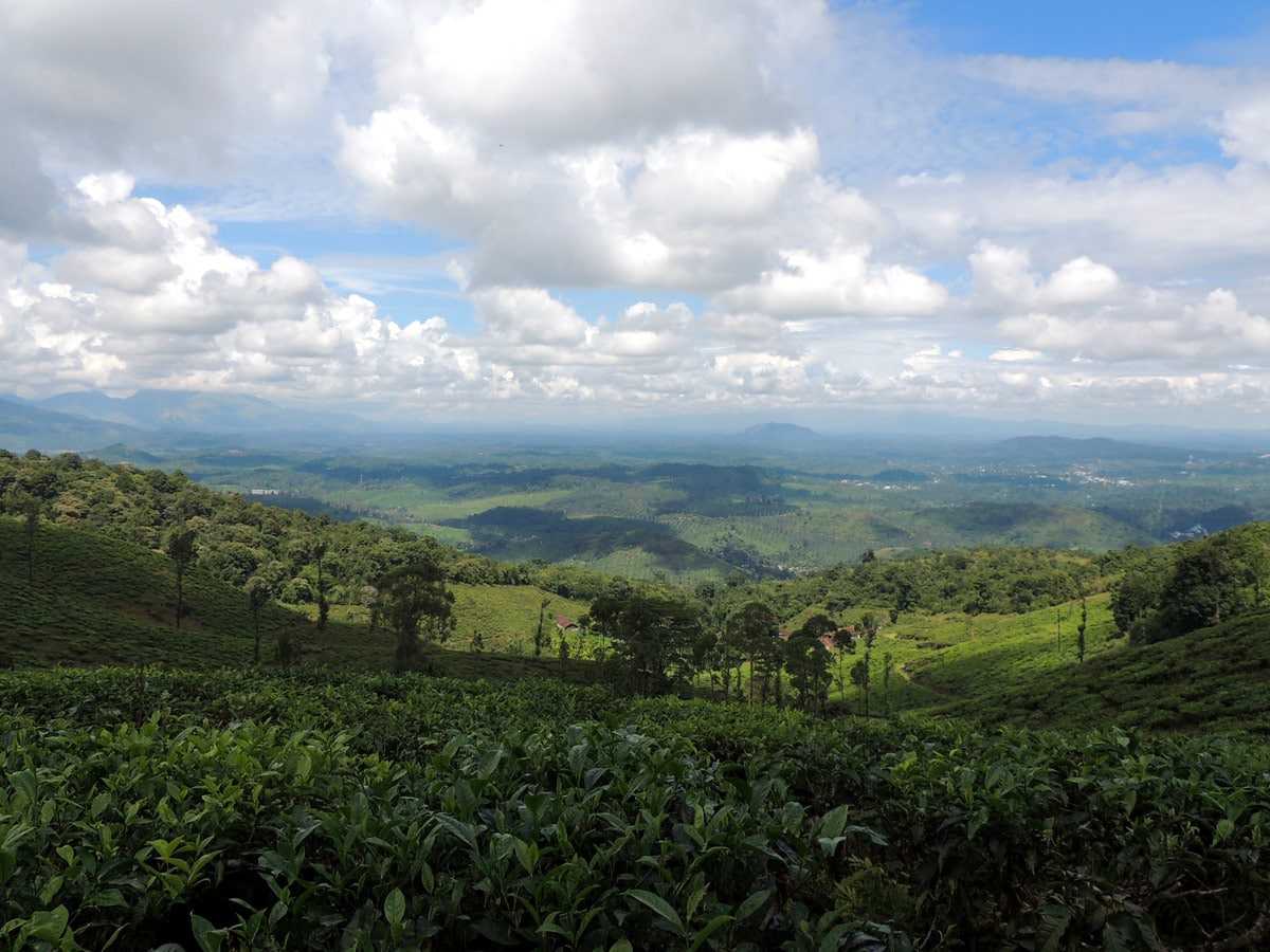
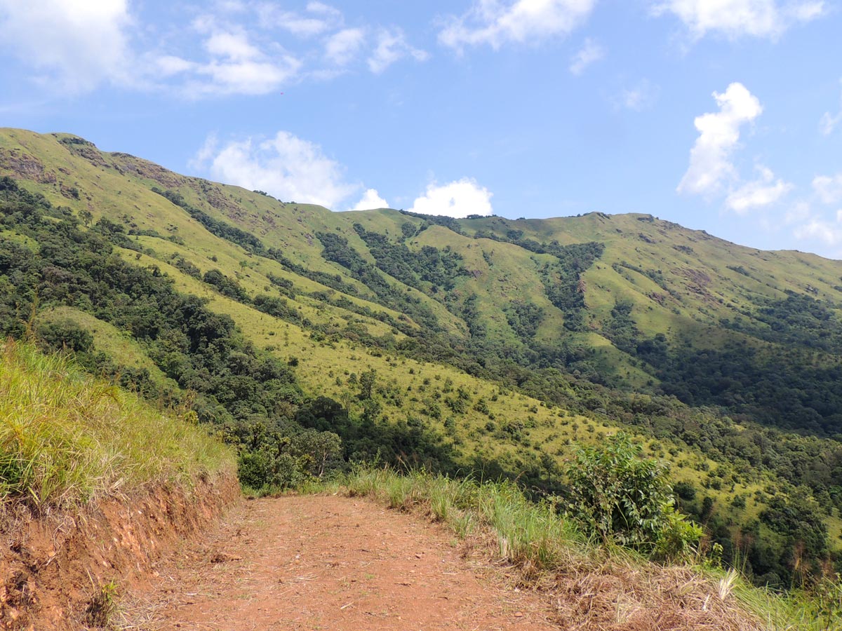
On the hike to Bhramagiri Peak, follow the lush, evergreen wet forest tracts of Thirunelli in Wayanad, which leads towindy grasslands overlooking the impregnable western jungle, popularly known as Pakshipathalam, which means “netherworld of birds.” Hike to the tip top of the peak to take in sweeping views over hills, valleys, and mountains in vibrant shades of green on the “mountain of the creator.”
Getting there
The reporting station is at Thirunelly Temple Junction. It is 14.9mi northwest of Mananthavady. Take the Mananthavadi-Mysore road to Kattikulam, turn left from the checkpost junction to Kattikulam-Kutta road, and drive straight to Thirunelly.

About
| When to do | November to March |
| Backcountry Campsites | Yes |
| Family friendly | Older Children only |
| Route Signage | Average |
| Crowd Levels | Moderate |
| Route Type | Circuit |
Brahmagiri Peak Hike
Elevation Graph
Weather
Route Description for Brahmagiri Peak Hike
Start the Brahmagiri Peak hike in Thirunelli, which is an ancient village in the foothills of Brahmagiri. The village is surrounded by the Wayanad Wildlife Sanctuary.
Here, find two foraging communities and farmers living in this village. The trail is easy with a wide walkway through the forest.
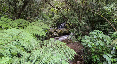
Follow the winding trail as it covers wet forest, streams, and grassland.
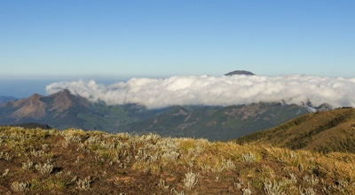
Climb higher and higher in elevation until you reach the Brahmagiri Peak, which showcases the fantastic diversity of landscape in both directions. Stand on the “mountain of the creator” and take a rest, gazing out over vibrant hills, valleys, and peaks all at once.
As you return back down and start the second half of the circuit, you’ll cross a few points of the trail that are active corridors of wildlife for tigers, elephants, gaurs, and deer. It is easy to spot tiger marks and elephant tracks near streams. Continuous waves of buzzing from cicadas often serve as a soundtrack for the trek through wet forest.
Once in the grassland, spot low flying Kestrel hovering over the wispy clouds above.
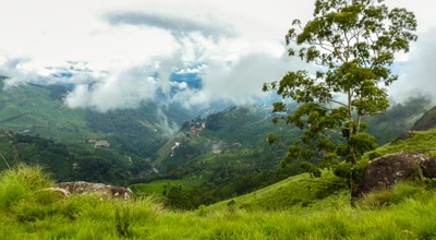
Eventually, you’ll reach a watchtower atop a hill, which provides stunning views of tropical wet evergreen jungle in the valley.
Finally, in the final miles of the hike, you’ll come across excellent views of paddy fields and hamlets in Thirunelli Valley before returning to the starting point.
Insider Hints
You can’t self-guide yourself on the Brahmagiri Peak hike in the Western Ghats, you must have a guide for this walk.
There is a soft trek trail also available with a guide.
This trail is particularly buggy, be sure to bring bug spray.
Similar hikes to the Brahmagiri Peak Hike hike
Cloud Forest Walk
This Cloud Forest walk takes place in a national park, home to a dedicated nature reserve, protecting high-altitude flora and…
Meesapulimala Hike
Meesapulimala is the second-highest peak in Southwestern Ghats at a height of 8661ft, overlooking the east escarpment of…
Lakshmi Hills Hike
Named after a tea factory division, this cliffy ridge trail on the west side of Munnar is popularly called Lakshmi…
Comments