
Meesapulimala Hike
View Photos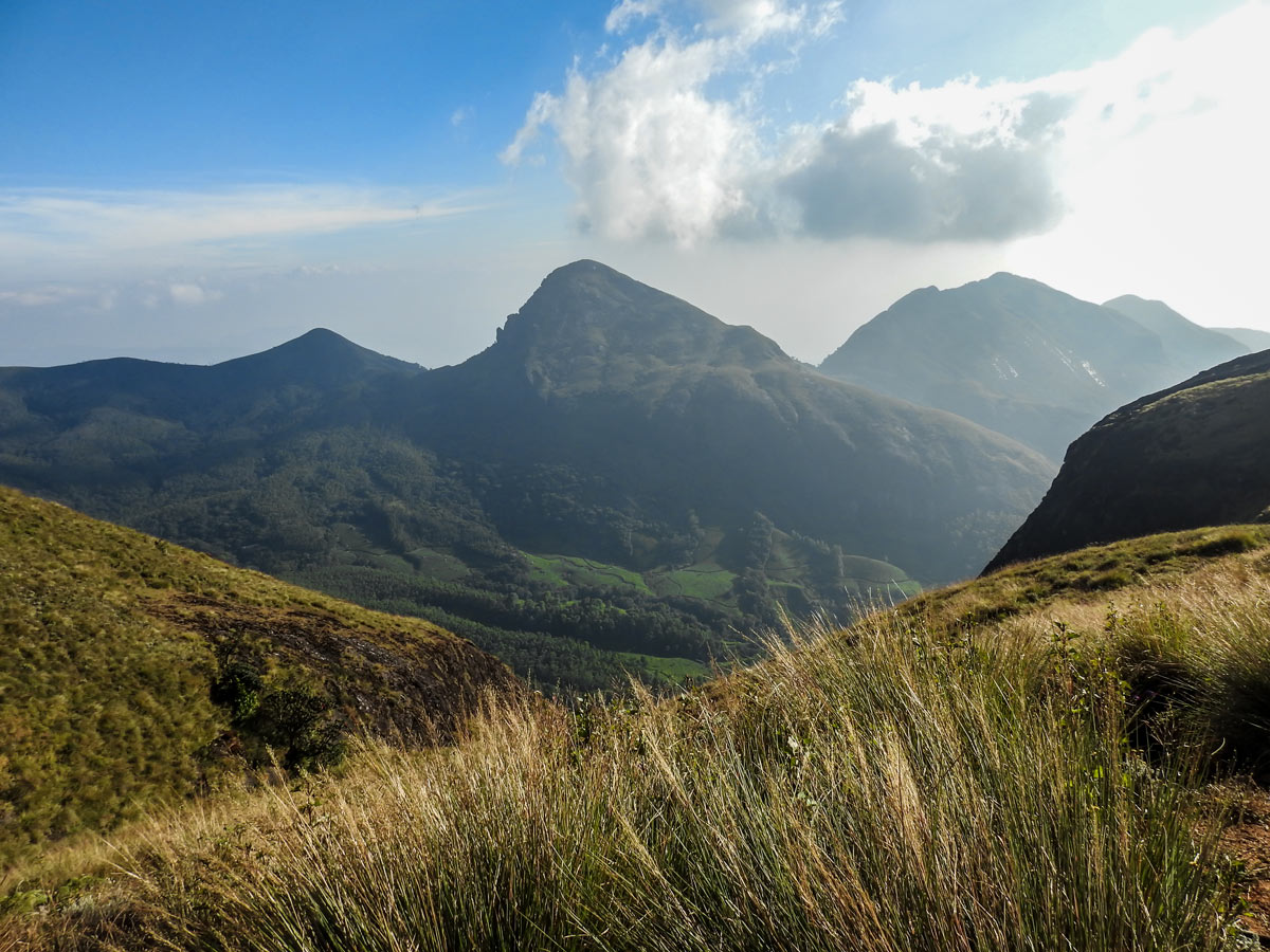

Meesapulimala Hike
Difficulty Rating:
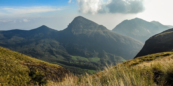
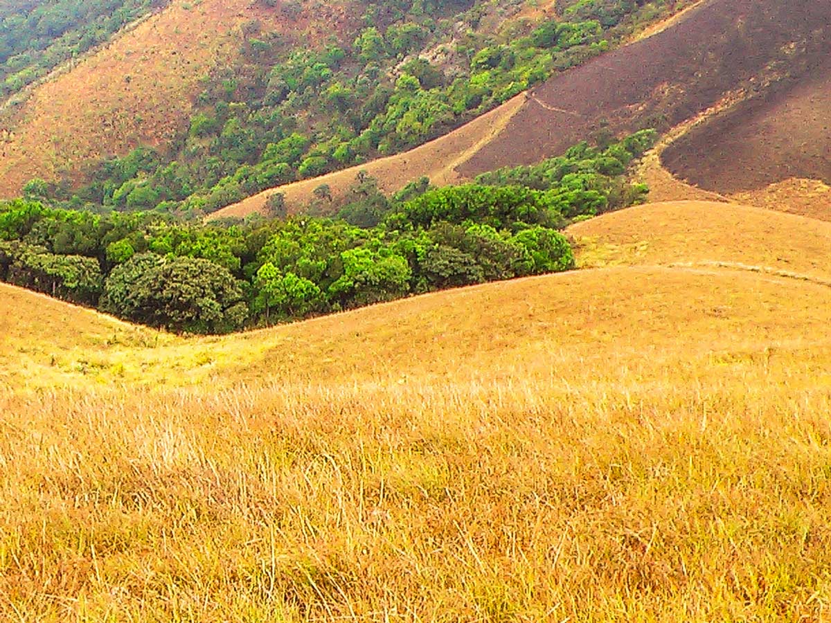
Meesapulimala is the second-highest peak in Southwestern Ghats at a height of 8661ft, overlooking the east escarpment of the Munnar Plateau and Korangini Crater. With Rhododendron Valley, golden grass hills, and low-floating clouds, this ancient and untouched landscape is not to be missed. Views of the Palani Hill range from abrupt cliffs to mountainous peaks, enchanting travellers with a once in a lifetime experience.
Getting there
You’ll need to book a Jeep from Munnar to get to the trailhead on the Silent Valley Tea Estate.

About
| When to do | February through June |
| Backcountry Campsites | Yes |
| Pets allowed | No |
| Family friendly | No |
| Route Signage | Average |
| Crowd Levels | Moderate |
| Route Type | Lollipop |
Meesapulimala Hike
Elevation Graph
Weather
Route Description for Meesapulimala Hike
Leave Munnar early via Silent Valley Tea Estate in a 4×4 Jeep to reach the foothill of the peak at basecamp before sunrise. The trail passes through pine plantations in its first lap before reaching Rhodo Valley base.
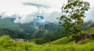
The Rhodo Valley base is located atop a grassy hill overlooking the western slope of the mountain and Anamudi Peak. There is a camp house with a toilet located on the hill. The camp was first built during the Colonial period for hunting Nilgiri tahr.
After a short break, continue the hike through open grasslands and moorland towards Rhodo Ridge. The grassland is a grazing ground for wild elephants, sambar, and wild gaur. If you’re lucky enough, you can spot wildlife like the Nilgiri marten, stripe necked mongoose, and the clawless otter near the watering holes.
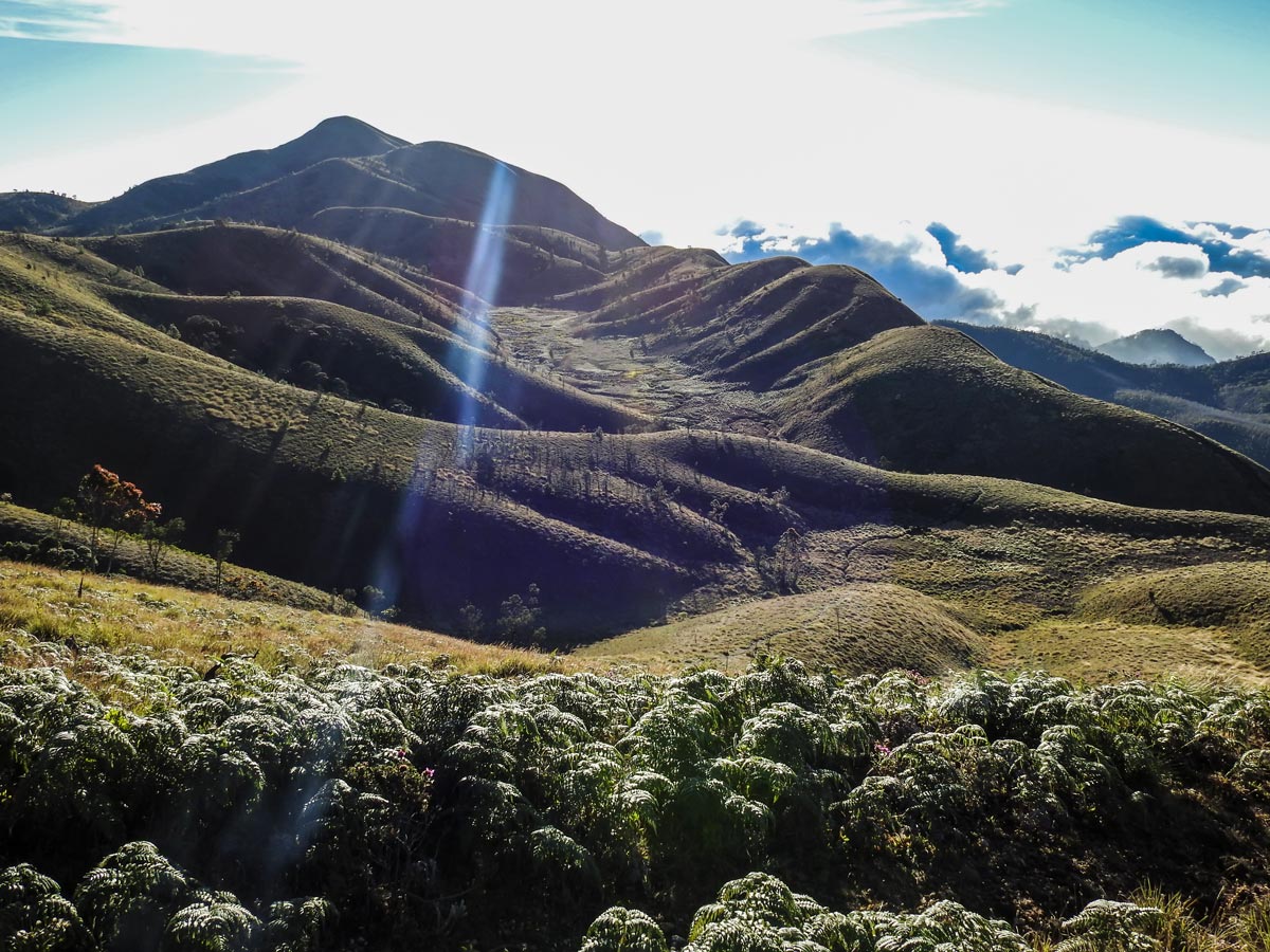
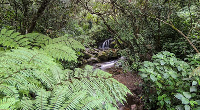
After a one-hour hike, arrive at Rhodo Ridge. It is a narrow path flanked by wildflowers through the ridge of the peak and high grassland. From here, head towards the Sky Islands. The Sky Islands are small, thick forests located in the mountain’s folds. You’ll find the trees and plants are stunted due to strong wind and cloudy skies.
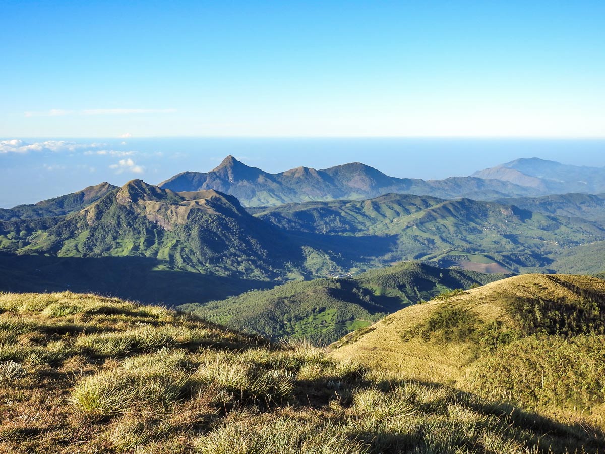
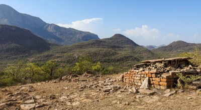
The Meesapulimala Peak is the last point of the hike and the highlight. Here, you can find the “end of the earth.” If the sky is clear, observe Kolukkumalai Table Land with tea gardens and hamlets just under the nose of the peak. Further downhill, spot the tiny houses of the Korangini Hamlet (Bottom Station).
Between the peak and Palani Hills, a narrow crater between Top Station and Korangini runs like a channel. It is through this crater that huge boilers and machineries for tea factories were pulled up to Munnar in the late 19th century.
After a short break at the peak, the trail turns right through the northern ridge of the peak down towards Rhodo Valley Camp. From Rhodo Valley Camp, take the same path to basecamp. Finally, hop in your Jeep and return to Munnar.
Insider Hints
You can’t self-guide yourself on the Meesapulimala hike in the Western Ghats, you must have a guide for this walk.
If you wish to backcountry camp, the Rhodo Valley campsite is on the hiking route.
If it rains, leeches can appear on the path, so be sure to pack leech socks on wet days.
Weather can change suddenly and unexpectedly, so we recommend you pack a woolen sweater or jacket.
Similar hikes to the Meesapulimala Hike hike
Cloud Forest Walk
This Cloud Forest walk takes place in a national park, home to a dedicated nature reserve, protecting high-altitude flora and…
Lakshmi Hills Hike
Named after a tea factory division, this cliffy ridge trail on the west side of Munnar is popularly called Lakshmi…
Chinnar Bush Walk and Elephant Trail
In the 1890’s, Colonel Valentine discovered this passage to cross the leeward hills to reach Coimbatore in Madras Presidency of…
Comments