Lakshmi Hills Hike
View Photos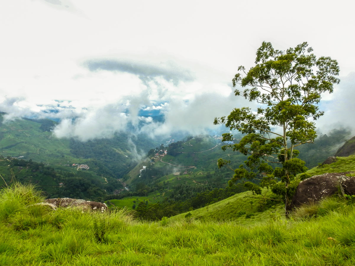
Lakshmi Hills Hike
Difficulty Rating:
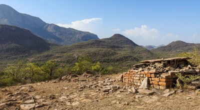
Named after a tea factory division, this cliffy ridge trail on the west side of Munnar is popularly called Lakshmi Hills. It was the backdrop of the first chapters of Yann Martel's Life of Pi, a popular philosophical novel inspired by the green hills and tea country.
Getting there
The reporting point is at High Altitude Stadium Gate in Old Munnar, near KSRTC Bus Station. The point is easily accessible by car and bus.

About
| When to do | November to June |
| Backcountry Campsites | No |
| Family friendly | No |
| Route Signage | Average |
| Crowd Levels | Moderate |
| Route Type | Circuit |
Lakshmi Hills Hike
Elevation Graph
Weather
Route Description for Lakshmi Hills Hike
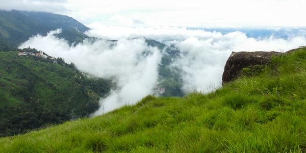
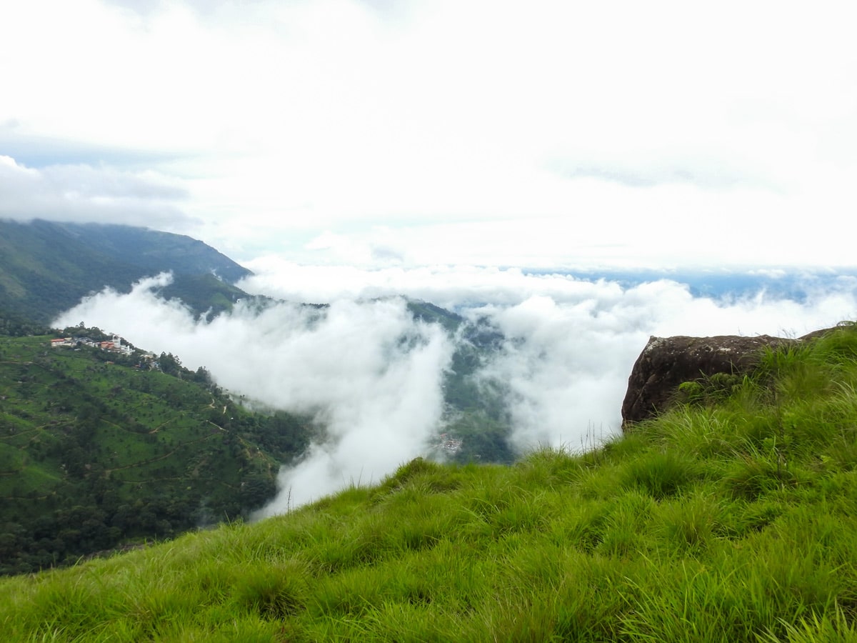
Those who start early will be rewarded with the first glimpse of sunrise from “windy rock point”
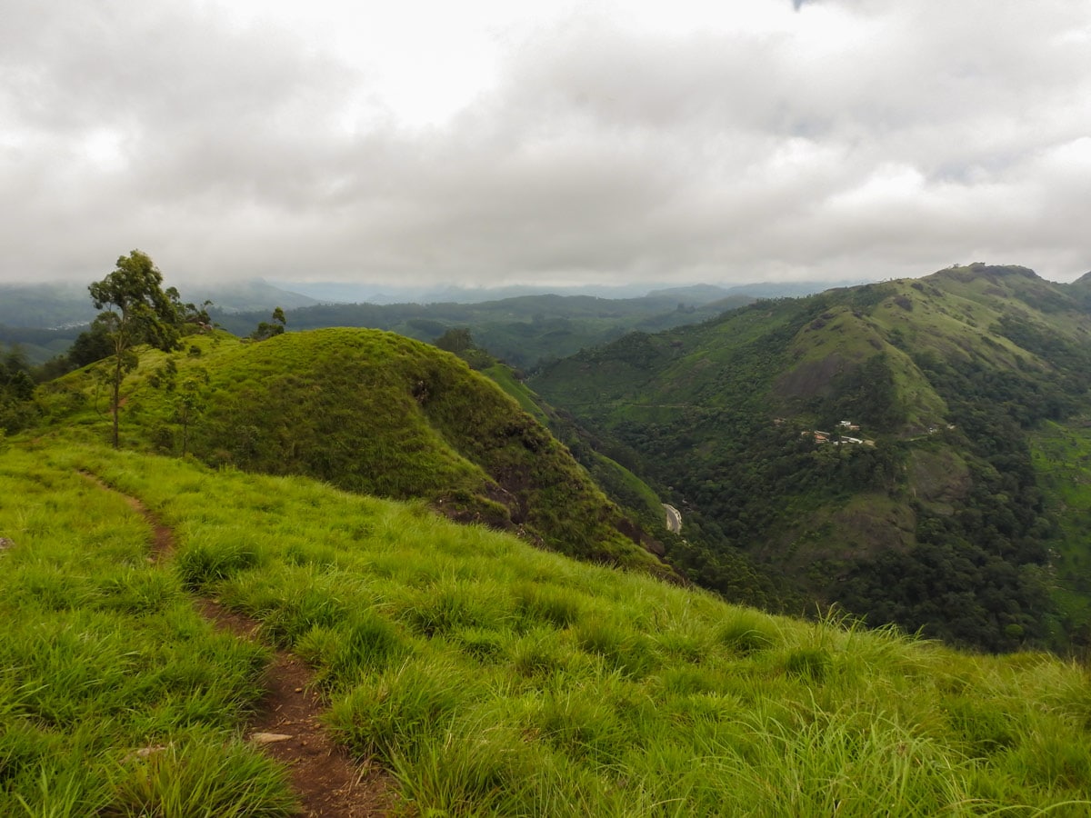
After assembling at the starting point, a naturalist will guide you to the Valley View Point. This is the first leg of the hike.
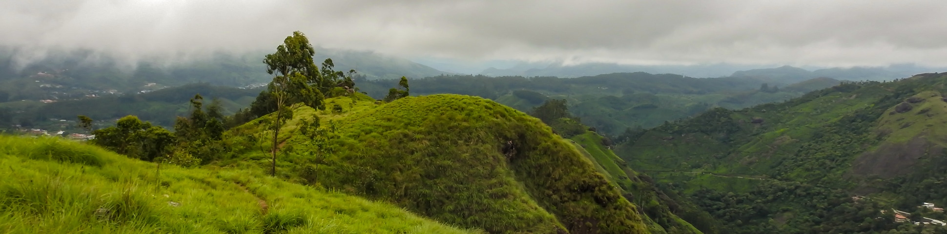
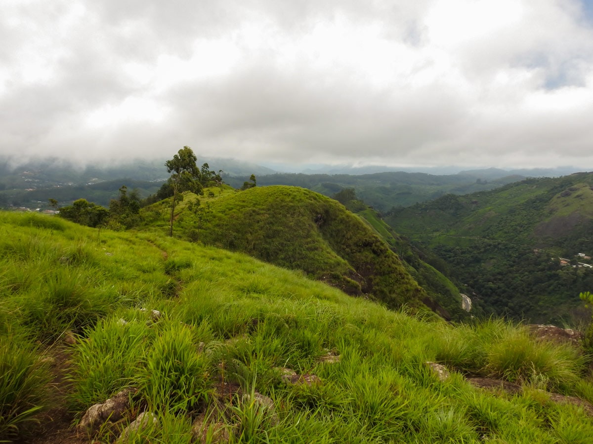
After about a half hour’s walk through rolling tea hills, the trail reaches Valley View Point. Fascinating views of the western Ghats slope, alongside peaks, valleys, gorges and plateaus stretching between the eastern and western horizon can be seen from this point.
A deep cleft through which the Munnar River passes is separated by the high peaks of Chokkanad and Lakshmi Hills. This geological process formed two escarpments facing one another.
The Valley View Point is in the neck of Windy Rock Point. After spending a few minutes taking in the views, turn uphill through a narrow path to the Windy Rock Point.
From this point, the Chokkan Mudi Peak set in the West Ridge Hills can be visible. The trail further extends to the summit and turns downhill through the treeline. From the treeline, Anamudi, the highest peak south of the Himalayas, can be seen.
The trail further leads to Lakshmi Estate Valley. Here, find workers picking tea leaves, tiny blue houses along the Nallathanni River meadow, children playing cricket and football, and wandering cows.
Pause to listen to the sweet whistling of the Malabar whistling thrush as well as a good number of other endemic birds like the blue flycatcher, Nilgiri laughing thrush, and black and orange flycatcher.
The trail meets a navigable road after 3 hours of walking. From this point, you can choose a Jeep back to the starting point or continue the hike passing tea plantations, beautiful wayside plants, and birds.
Insider Hints
A quarter of the hike requires steep, uphill climbing. Hikers will want to be physically fit for the challenge.
You can’t self-guide yourself on the Lakshmi Hill hike in the Western Ghats, you must have a guide for this walk.
Be sure to pack leech socks during monsoon season.
Similar hikes to the Lakshmi Hills Hike hike
Cloud Forest Walk
This Cloud Forest walk takes place in a national park, home to a dedicated nature reserve, protecting high-altitude flora and…
Meesapulimala Hike
Meesapulimala is the second-highest peak in Southwestern Ghats at a height of 8661ft, overlooking the east escarpment of…
Chinnar Bush Walk and Elephant Trail
In the 1890’s, Colonel Valentine discovered this passage to cross the leeward hills to reach Coimbatore in Madras Presidency of…
Comments