Cloud Forest Walk
View Photos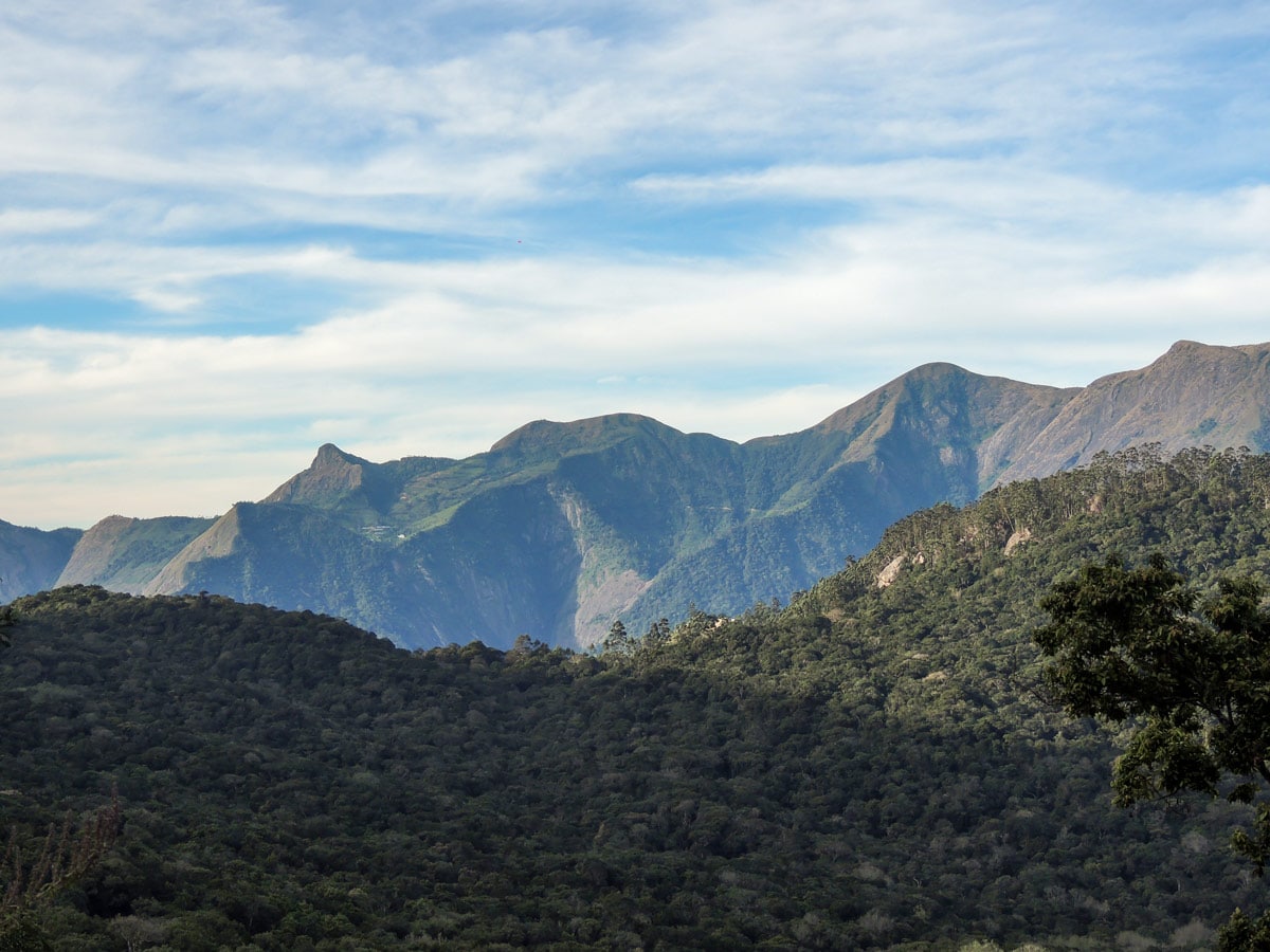
Cloud Forest Walk
Difficulty Rating:
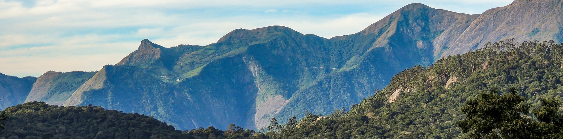
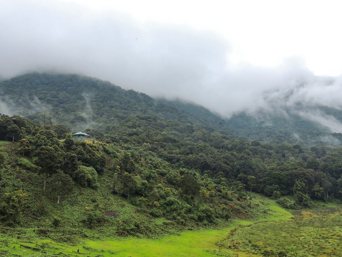
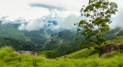
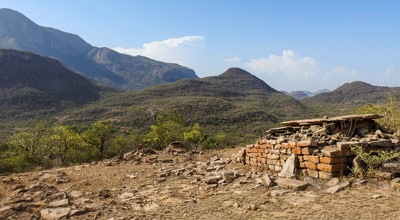
This Cloud Forest walk takes place in a national park, home to a dedicated nature reserve, protecting high-altitude flora and fauna, especially restricted species. This patch of pristine cloud forest lies east of Munnar, close to the famous Top Station cliff.
Getting there
The point is accessible by Jeep, car or bus. It is located about 21.1mi east of Munnar on the Munnar–Vattavada road.

About
| Backcountry Campsites | No |
| Family friendly | Yes |
| Route Signage | Average |
| Crowd Levels | Moderate |
| Route Type | One Way |
Cloud Forest Walk
Elevation Graph
Weather
Route Description for Cloud Forest Walk
The Cloud Forest walk begins from the forest office at the park gate, accompanied by a naturalist.
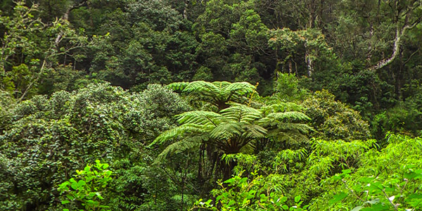
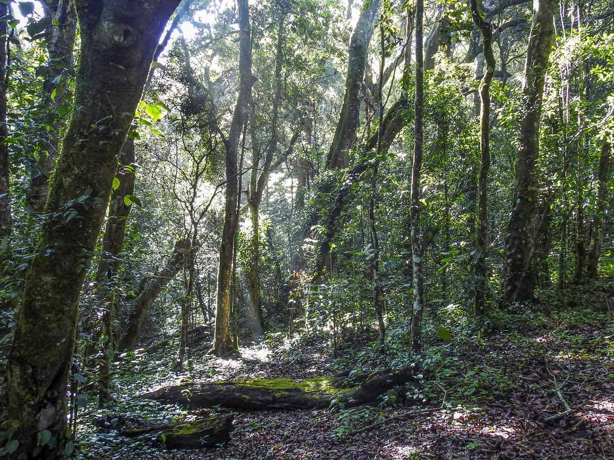
The first lap of the hike is along a patrolled road through the forest. The path is flat and easy to walk and the trail gently crosses through the forest canopy on both sides.
You can encounter a good number of curious looking plants, flowers, birds, and insects along the way. The warning call of an alpha male Nilgiri Langur will certainly break the silence along the walk, make sure you keep your eyes on the canopy to spot the hiding black monkeys, giant squirrel, birds, and more. All of a sudden, you might even spot a stripe necked mongoose hunting crabs and snakes on the streamside.
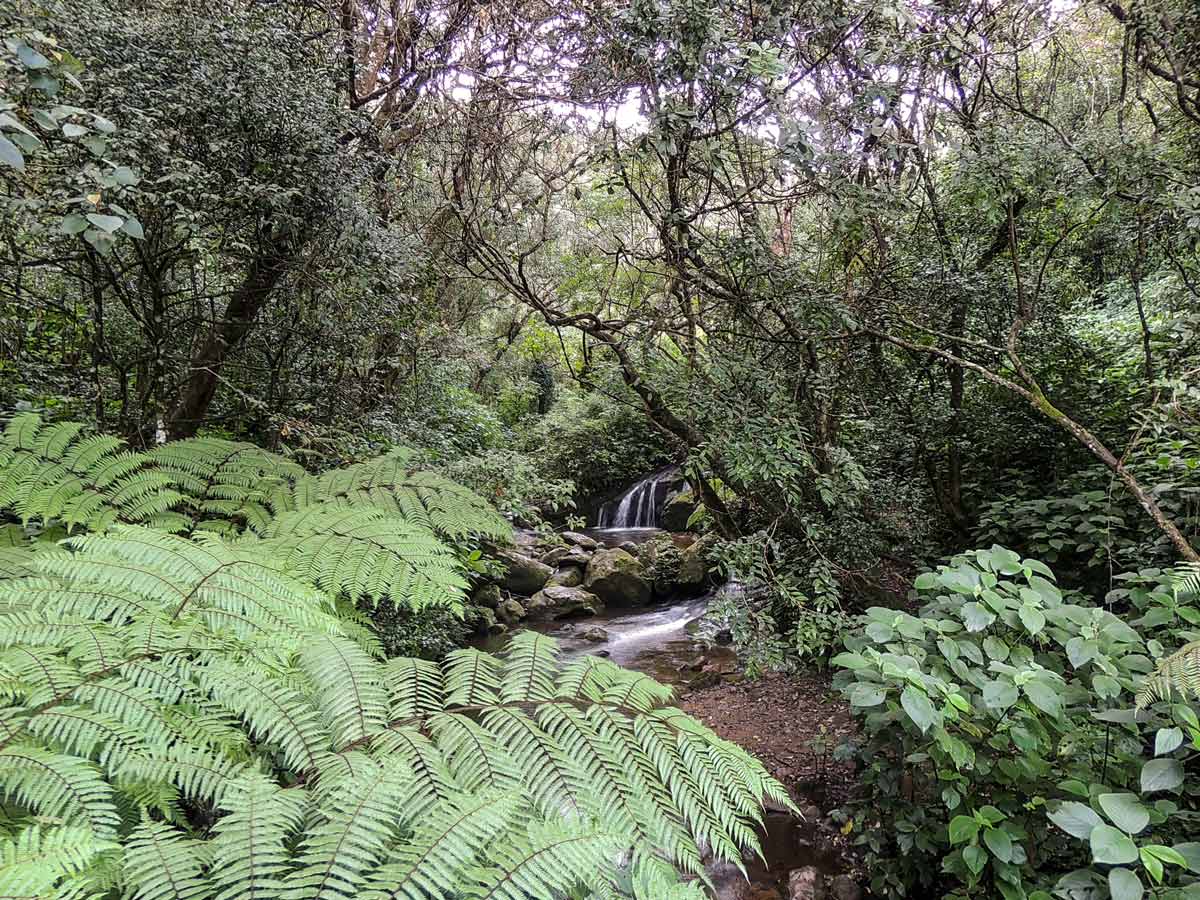
After an hour of slow walking, the trail snakes downhill through the thick forest to reach the finishing point.
The forest floor is wet and seldom sees sunlight. Here, plenty of interesting plants and animals can be seen under the canopy.
After walking downhill for half an hour, the trail reaches a grassy hill. After a short break here watching the marshland and canopy, continue the walk to the navigable road where you can get back to your vehicle.
Insider Hints
You can’t self-guide yourself on the Cloud Forest hike in the Western Ghats, you must have a guide for this walk.
Those who want to birdwatch should choose a morning or afternoon hike rather than one in the evening.
Pack waterproof hiking boots as the floor can be muddy and wet.
Pack leech socks during monsoon season.
Similar hikes to the Cloud Forest Walk hike
Lakshmi Hills Hike
Named after a tea factory division, this cliffy ridge trail on the west side of Munnar is popularly called Lakshmi…
Meesapulimala Hike
Meesapulimala is the second-highest peak in Southwestern Ghats at a height of 8661ft, overlooking the east escarpment of…
Chinnar Bush Walk and Elephant Trail
In the 1890’s, Colonel Valentine discovered this passage to cross the leeward hills to reach Coimbatore in Madras Presidency of…
Comments