Chembra Peak Hike
View Photos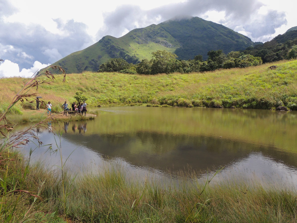
Chembra Peak Hike
Difficulty Rating:
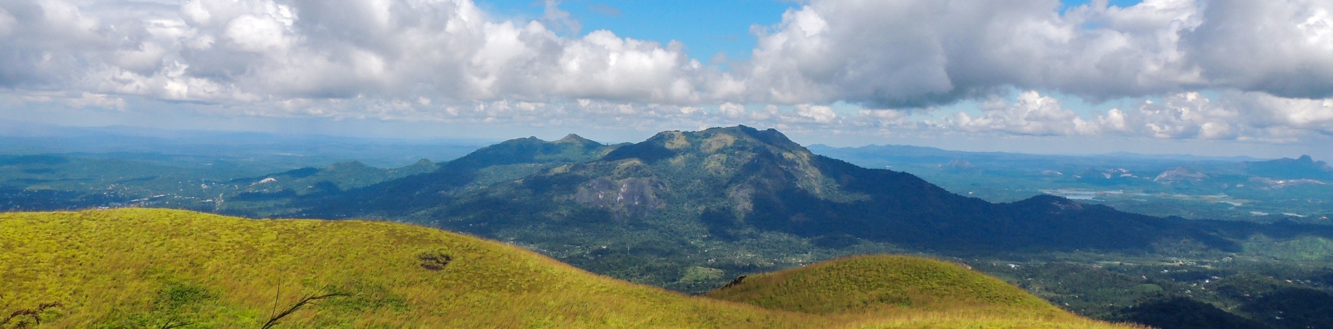
The Chembra Peak calls Wayanad home, a plateau in the west escarpment of the Nilgiri biosphere. It is part of the World Heritage site known for its outstanding natural beauty. Chembra is the highest peak on the Wayanad plateau and makes for a challenging trek for adventurous mountaineers.
Getting there
The reporting point is at the Chembra forest checkpost on Thollayirum Road. The destination is 14.3mi from Kalpetta. Take the Kalpetta-Meppady road, then turn onto Chooralmala Road, then onto Thollayiram Road straight to the checkpoint. It is also accessible from the Sultan Bathery town of Wayanad.

About
| When to do | November to February |
| Backcountry Campsites | No |
| Family friendly | No |
| Route Signage | Average |
| Crowd Levels | Moderate |
| Route Type | Out and back |
Chembra Peak Hike
Elevation Graph
Weather
Route Description for Chembra Peak Hike
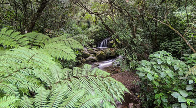
The Chembra Peak route starts right on Thollayiram Road. The first half hour of the hike winds through sweet-smelling tea plantations, verdant with blooming plants.
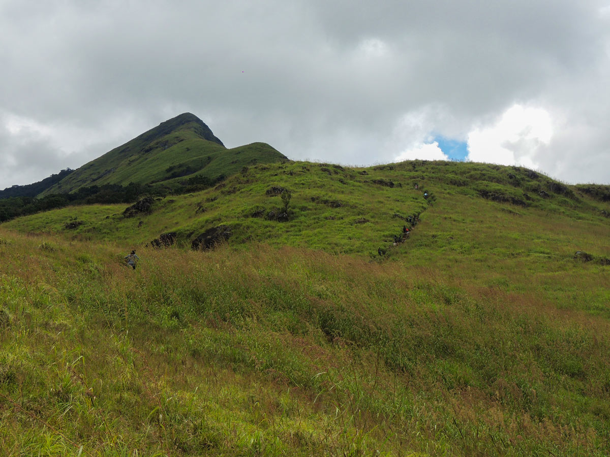
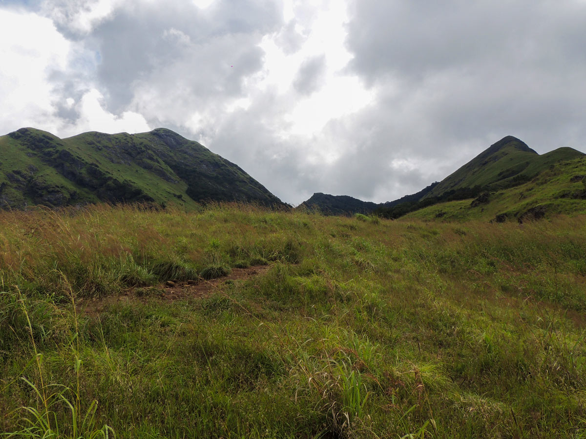
The trail then heads uphill with a steep climb on rough terrain for another couple of hours. This is the hardest part of the hike, but there are many beautiful viewpoints and resting places along this track.
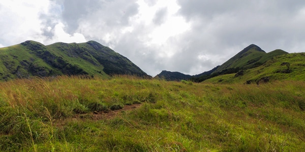
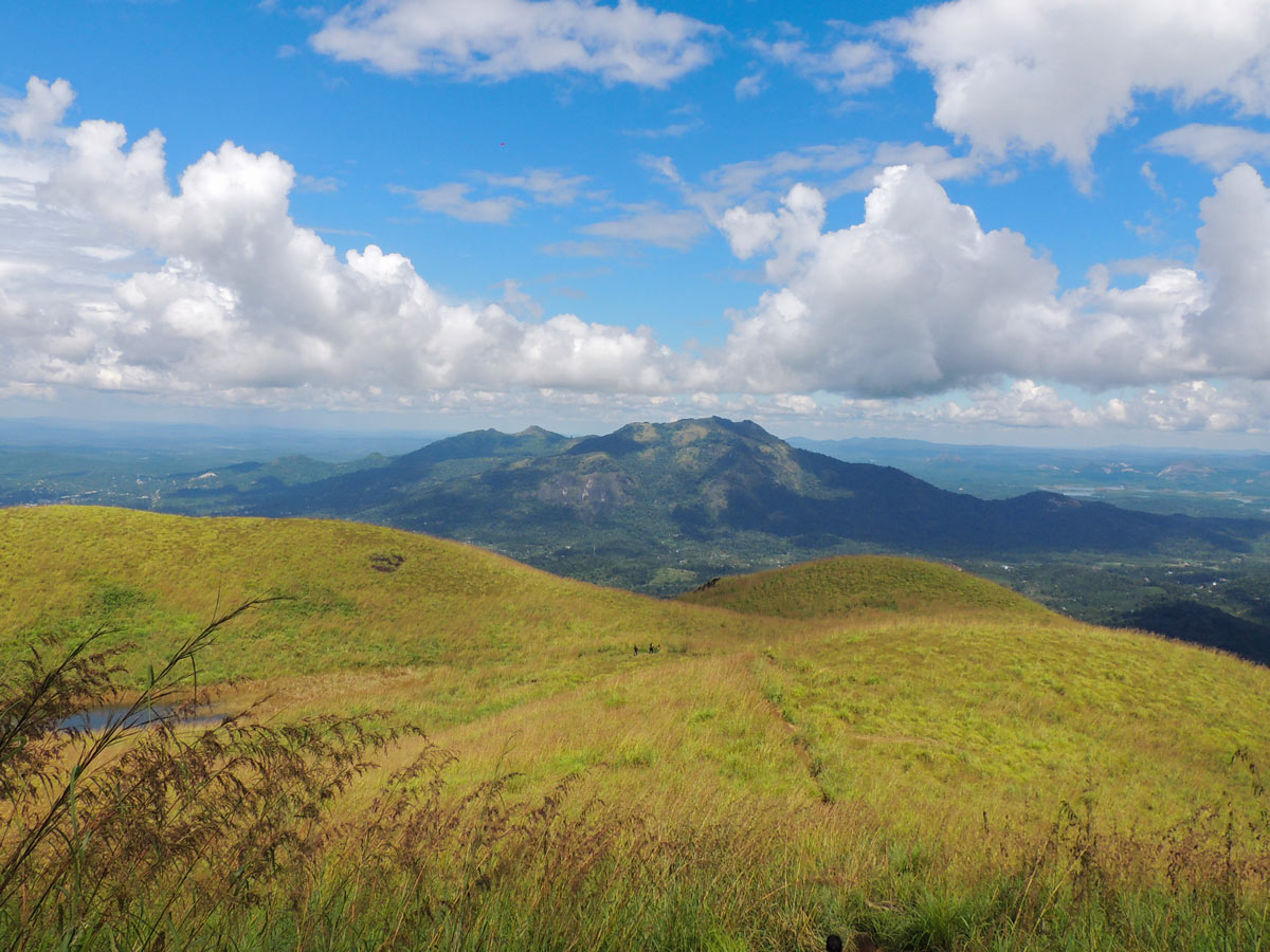
Eventually, you’ll hit the grassland fringe joining the first sky island forest. The peak is further up, but is not accessible to tourists due to conservation laws.
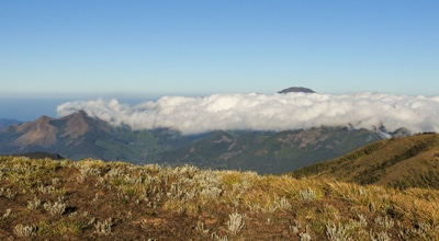
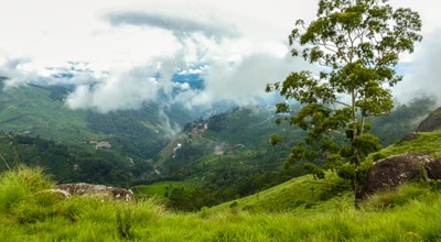
Regardless, this part of the trail is a romantic setting with wild grasslands, wildflowers, blue waters, low-lying clouds and panoramic views of the plateau. This area also offers excellent views of the Wayanad Plateau.
Return on the same path, but stop to observe the ethereal wildflowers and bog orchids in this grassland. Mountain birds like bush chat, kestrel, and black eagle are also a common sighting. You might even spot Wayanad laughing thrush, an endangered endemic of this plateau, before returning to the starting point.
Insider Hints
We suggest choosing a morning hike, as there is a limit to the number of visitors allowed per day.
You can’t self-guide yourself on the Brahmagiri Peak hike in the Western Ghats, you must have a guide for this walk.
There is only one trail to get to the Chembra Peak.
Similar hikes to the Chembra Peak Hike hike
Cloud Forest Walk
This Cloud Forest walk takes place in a national park, home to a dedicated nature reserve, protecting high-altitude flora and…
Meesapulimala Hike
Meesapulimala is the second-highest peak in Southwestern Ghats at a height of 8661ft, overlooking the east escarpment of…
Lakshmi Hills Hike
Named after a tea factory division, this cliffy ridge trail on the west side of Munnar is popularly called Lakshmi…
Comments