
South Fork Coffee Creek Loop
View Photos
South Fork Coffee Creek Loop
Difficulty Rating:
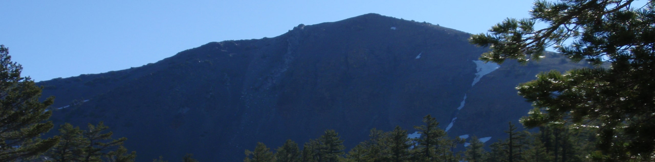
Discover the untouched backcountry along the South Fork Coffee Creek Loop. This primitive adventure through the Trinity Alps Wilderness exhibits the diversity of the area’s native flora and fauna whilst offering a tranquil, isolated experience.
Getting there
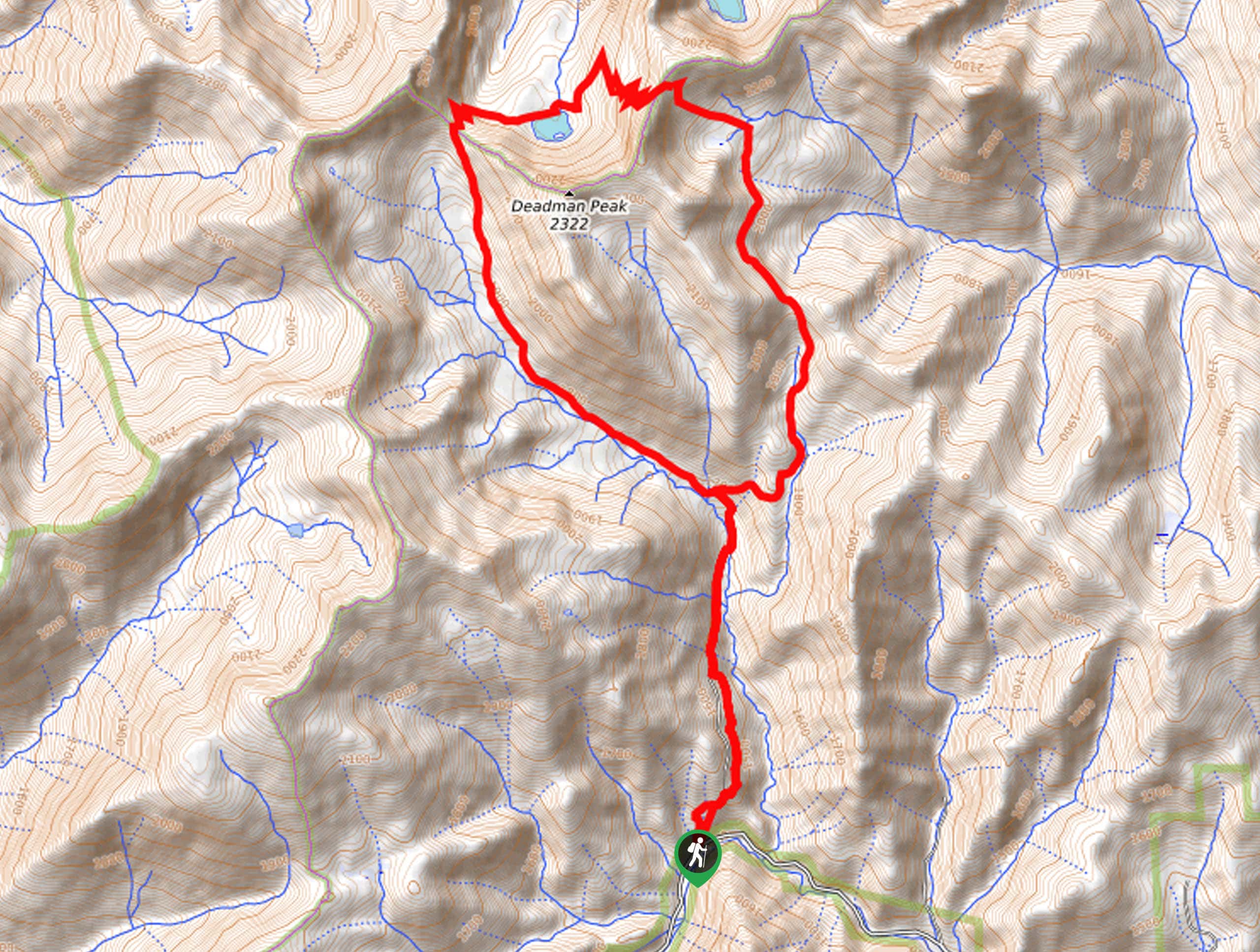
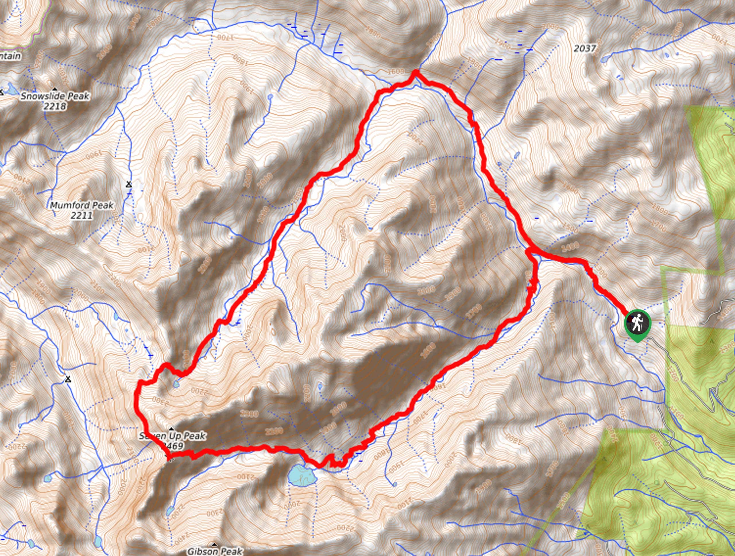
The South Fork Coffee Creek Loop departs from the South Fork Coffee Creek Trailhead off Coffee Creek Road.

About
| Backcountry Campground | |
| When to do | Year-round |
| Pets allowed | Yes - On Leash |
| Family friendly | No |
| Route Signage | Poor |
| Crowd Levels | Low |
| Route Type | Lollipop |
South Fork Coffee Creek Loop
Elevation Graph
Weather
South Fork Coffee Creek Loop Description
The South Fork Coffee Creek Loop is a wonderful hike for adventurers seeking a challenge. Put your navigational skills as well as endurance to the test as you explore the primitive route deep into the Trinity Alps. Traveling this sequestered route deep into the wilderness, it is a good idea to bring a bear bell or canister as this is bear country! Additionally, we encourage hikers to head out in the early morning to allow plenty of time to get back to the trailhead before nightfall—especially if you wish to take a soak in Trail Gulch Lake along the way! Don’t forget to pack plenty of water or a filter to keep hydrated along the way! Note the route is not well signposted and overgrown, so use the trail GPS.
The South Fork Coffee Creek Loop travels northeast along a steep path, setting out from the trailhead. This route is obvious and easy to follow for the first few miles. The further you climb, the more overgrown you will find the path. Using the trail GPS, you will ultimately confront an intersection; veer left here. Now traveling northwest through the gulch of the South Fork Coffee Creek, you will eventually climb up a saddle to the northwest of Deadman Peak before dipping into the basin. Here you will merge onto the Trail Gulch Trail to Trail Gulch Lake.
On a hot day, this is a great spot to cool off. After soaking, follow the Trail Gulch Trail up the easternmost ridge before diverting south down an unmarked path. Using the trail GPS, you will eventually reconnect with the South Fork Coffee Creek. From here, head south, retracing your steps all the way back to the trailhead.
Similar hikes to the South Fork Coffee Creek Loop hike
Sisson Callahan Trail
The Sisson Callahan Trail is an awesome one-way expedition through the Trinity Alps Wilderness that boasts incredible views of the…
Wagon Creek Falls via Deer Creek Hike
The Wagon Creek Falls via Deer Creek Hike beckons intrepid explorers who won’t shy away from a challenge. Put your…
Bear Basin Loop
Seeking a day hike in the Trinity Alps Wilderness that checks all the boxes—long, scenic, diverse, and well maintained? Well,…
Comments