East Boulder Lake via PCT
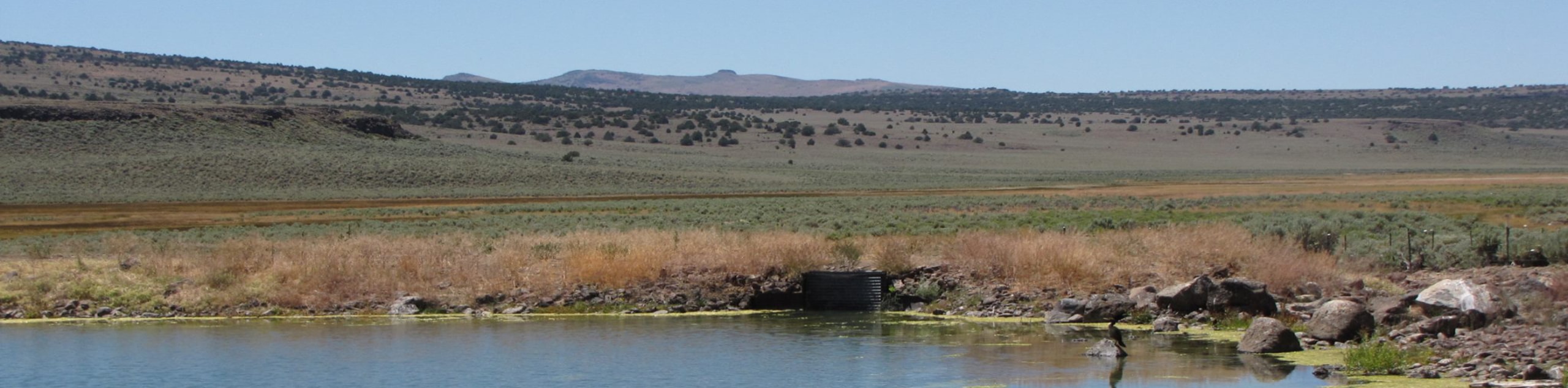
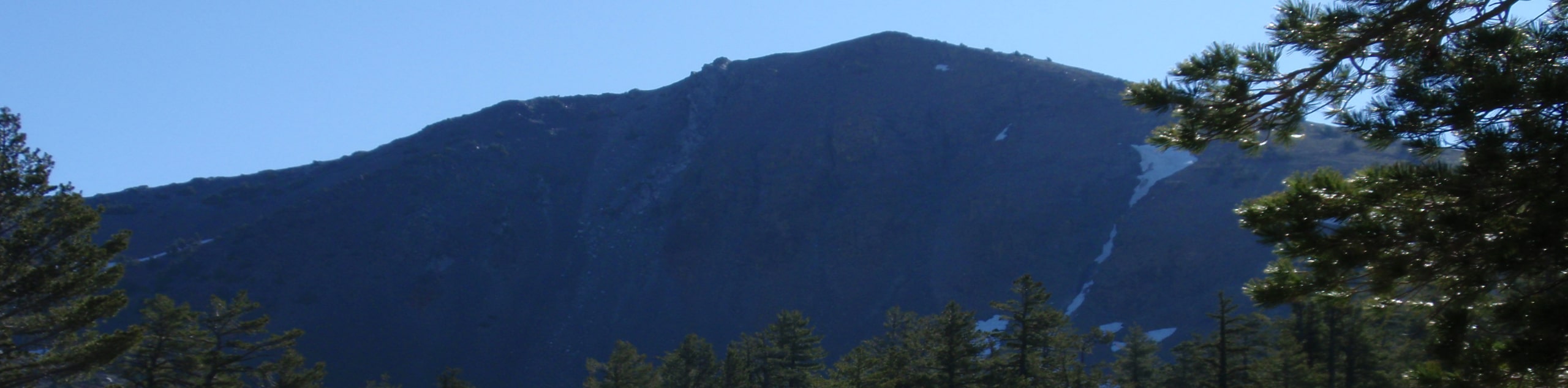
View Photos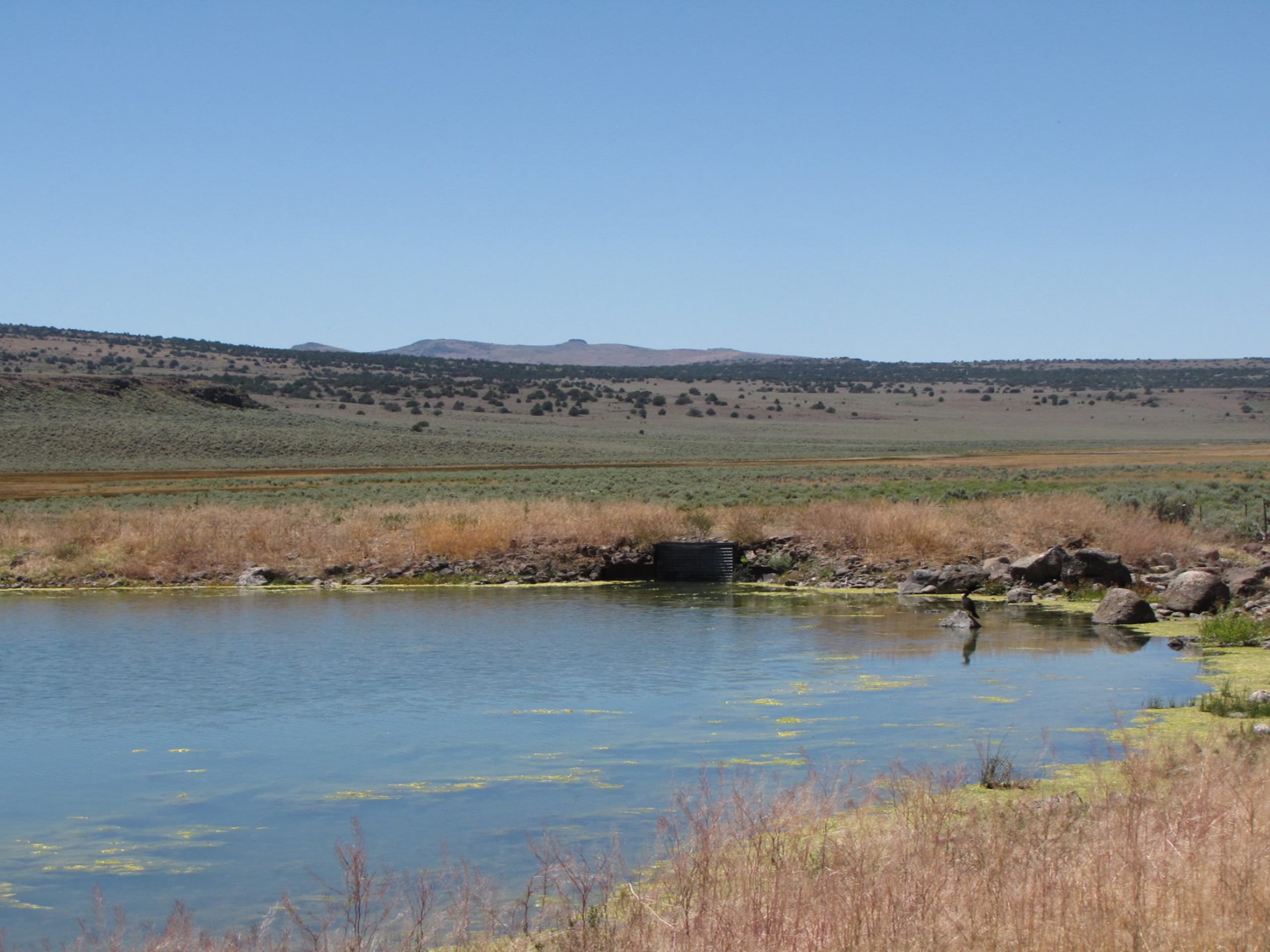
East Boulder Lake via PCT
Difficulty Rating:
Immerse yourself in the high country and marvel in the beauty of the alpine environment along the East Boulder Lake via PCT. This wonderful adventure to the meadow bound lake is one for the books! Though demanding, the stunning scenery is well worth the sweat.
Getting there
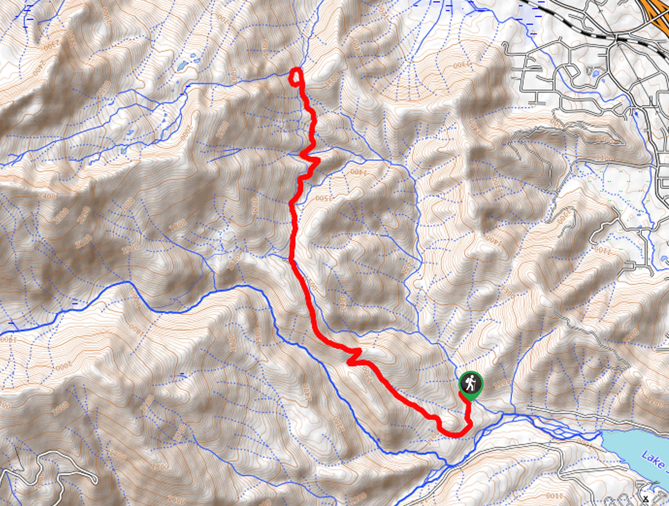
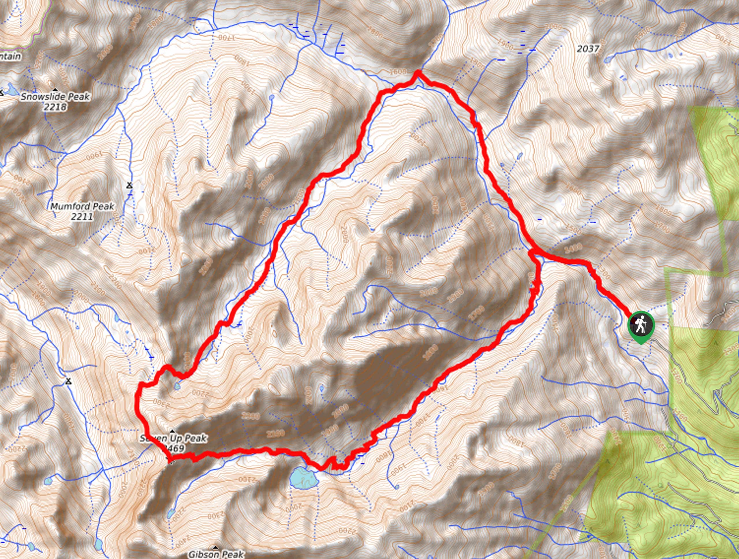
Access this hike from the PCT Trailhead off Scott Mountain Road.

About
| Backcountry Campground | |
| When to do | Year-round |
| Pets allowed | Yes - On Leash |
| Family friendly | No |
| Route Signage | Average |
| Crowd Levels | Moderate |
| Route Type | Out and back |
East Boulder Lake via PCT
Elevation Graph
Weather
East Boulder Lake via PCT Description
Explore diverse terrains and indulge in the beauty and grandeur of the mountainous landscape along this hike. This wonderful adventure, though scenic, is strenuous, especially when tackled as a day hike. If you are one of the few eager enough to venture this route as a single-day adventure, be sure to head out in the early morning with the help of a headlight to make it back to the trailhead before nightfall. Additionally, as much of this trek travels over rocky and uneven terrain—a sturdy pair of ankles bracing footwear will make a world of difference!
Once your water bottle is packed, and your laces are tied—you are ready to go. The East Boulder Lake via PCT departs from the trailhead off Scott Mountain Road. Hikers will be guided southwest along the PCT through mixed coniferous forests, montane meadows, and granite gardens. Mind your footing on the rocky terrain, and keep an eye out for wildlife as you hike! Climbing further into the wilderness, you will be rewarded with epic views of the mountainous landscape that encompasses you. Eventually, you will summit a ridge just south of Craggy Peak—you will confront an intersection here.
Veer right, and you will be diverted onto the East Boulder Lake Trail, which will guide you down into the meadowy landscape of a basin adorned with crystalline alpine lakes. Appreciate the beauty of East Boulder Lake, rejuvenate your tired feet in the chilly alpine waters, then head back to the trailhead the way you came.
Similar hikes to the East Boulder Lake via PCT hike
Sisson Callahan Trail
The Sisson Callahan Trail is an awesome one-way expedition through the Trinity Alps Wilderness that boasts incredible views of the…
Wagon Creek Falls via Deer Creek Hike
The Wagon Creek Falls via Deer Creek Hike beckons intrepid explorers who won’t shy away from a challenge. Put your…
Bear Basin Loop
Seeking a day hike in the Trinity Alps Wilderness that checks all the boxes—long, scenic, diverse, and well maintained? Well,…
Comments