Sisson Callahan Trail
View Photos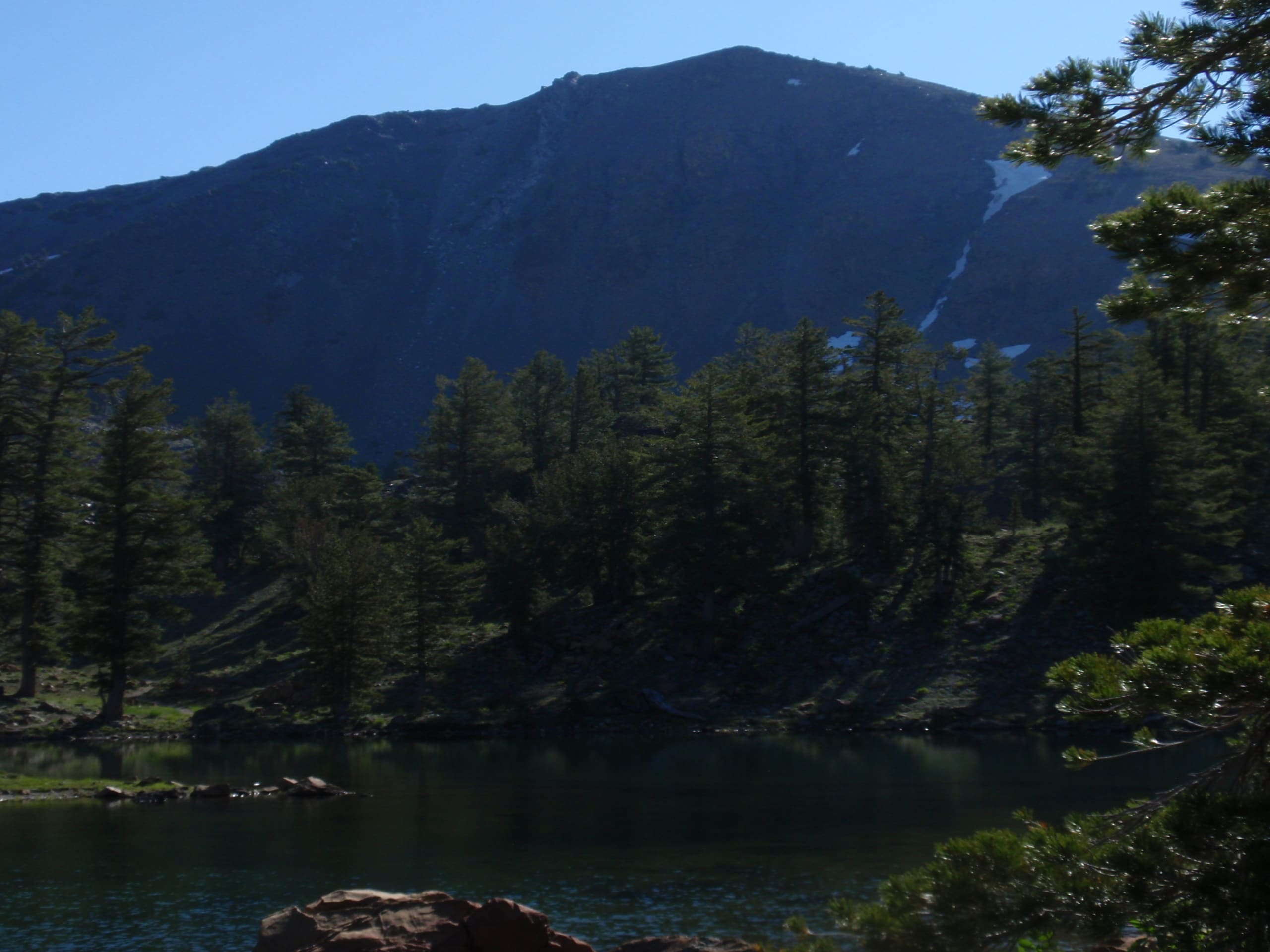
Sisson Callahan Trail
Difficulty Rating:
The Sisson Callahan Trail is an awesome one-way expedition through the Trinity Alps Wilderness that boasts incredible views of the Klamath Mountains and the Cascade Range. Indulge yourself in the wonderful scenery as you get an epic workout in!
Getting there
The Sisson Callahan Trail departs from the Deadfall Lakes Trailhead off National Forest Development Road 17.

About
| Backcountry Campground | |
| When to do | Year-round |
| Pets allowed | Yes - On Leash |
| Family friendly | Yes |
| Route Signage | Average |
| Crowd Levels | High |
| Route Type | One Way |
Sisson Callahan Trail
Elevation Graph
Weather
Sisson Callahan Trail Description
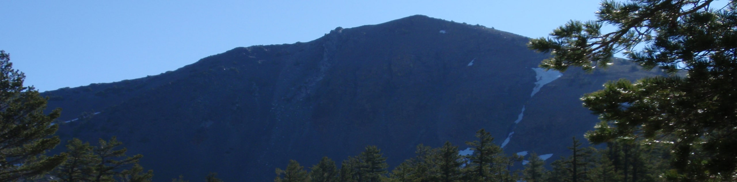
The beauty of a point-to-point hike is the new scenery you are rewarded with every step of the way—nothing can beat it! Exhibiting the beauty and grandeur of the alpine terrain, this route travels through subalpine forestlands, past alpine lakes, up mountain passes, and through montane meadows whilst offering dumfounding views of the famous Mount Shasta. Note this hike is no walk in the park, so make sure you are properly equipped with the correct gear and plenty of fuel! Don’t forget to leave a car or arrange for pickup at the trail’s end!
Setting out from the Deadfall Lakes Trailhead, the Sisson Callahan Hike travels southeast along the Deadfall Lakes Trail. This scenic route will guide you to a collection of charming alpine lakes bound by the bluffs of Mount Eddy. Track this path through the meadows, past the lakes, and up to the mountain pass before plunging down a set of tightly wound switchbacks. At the trail’s inevitable end, keep left, and you will be diverted onto the Sisson Callahan Trail.
This trail wanders along the curves of the North Fork Sacramento River through meadowlands abundant with lush flora and, oftentimes, wildlife. The Sisson Callahan Trail will eventually deliver you to the trail’s end at Forest Road 40N27C, marking the end of your adventure.
Similar hikes to the Sisson Callahan Trail hike

East Weaver Lake Trail
The East Weaver Lake Trail is a wonderful adventure on the boundary of the Trinity Alps Wilderness that features amazing…

Bluff Lake via PCT
The Bluff Lake via PCT is a secluded adventure in the Shasta-Trinity National Forest that offers wonderful scenery and makes…
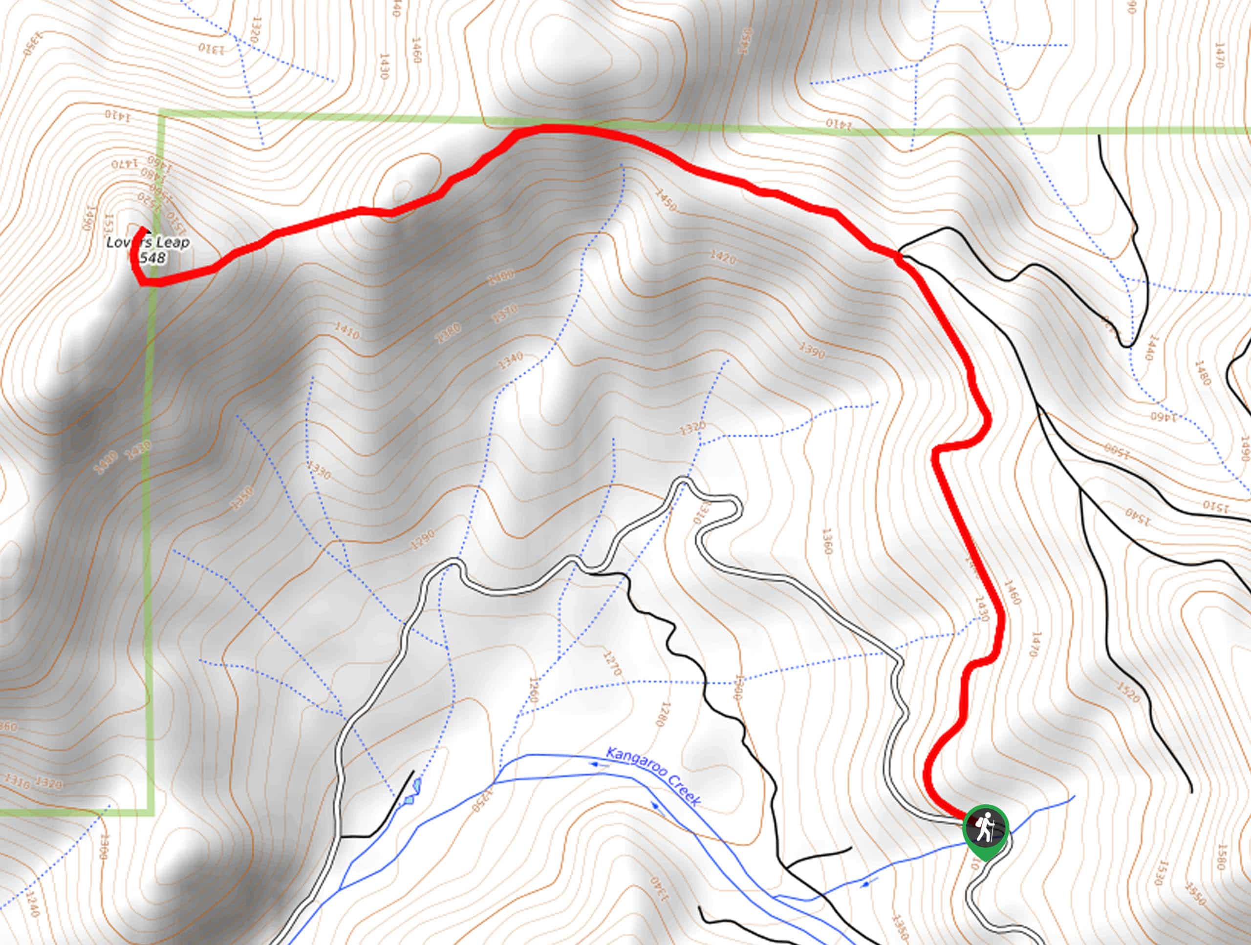
Lover’s Leap Hike
The Lover’s Leap Hike is an awesome adventure up to the summit of a granite bluff overlooking the Cascade Range…
Comments