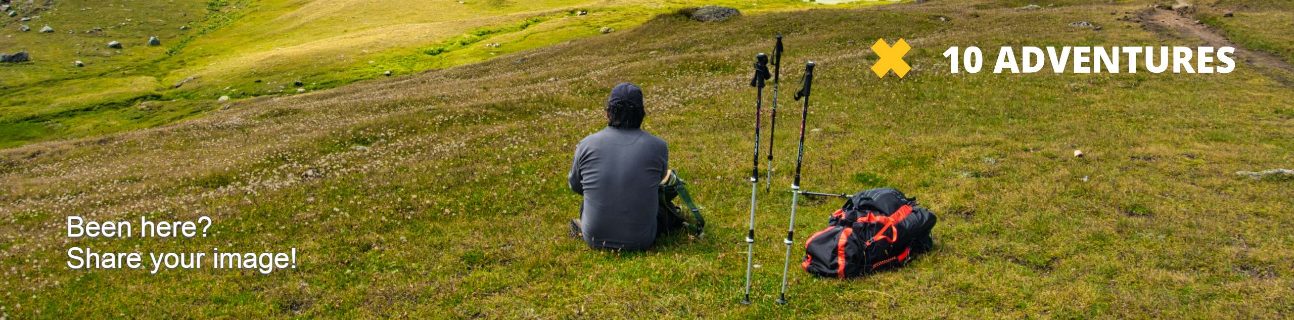

Bluff Lake via PCT
View Photos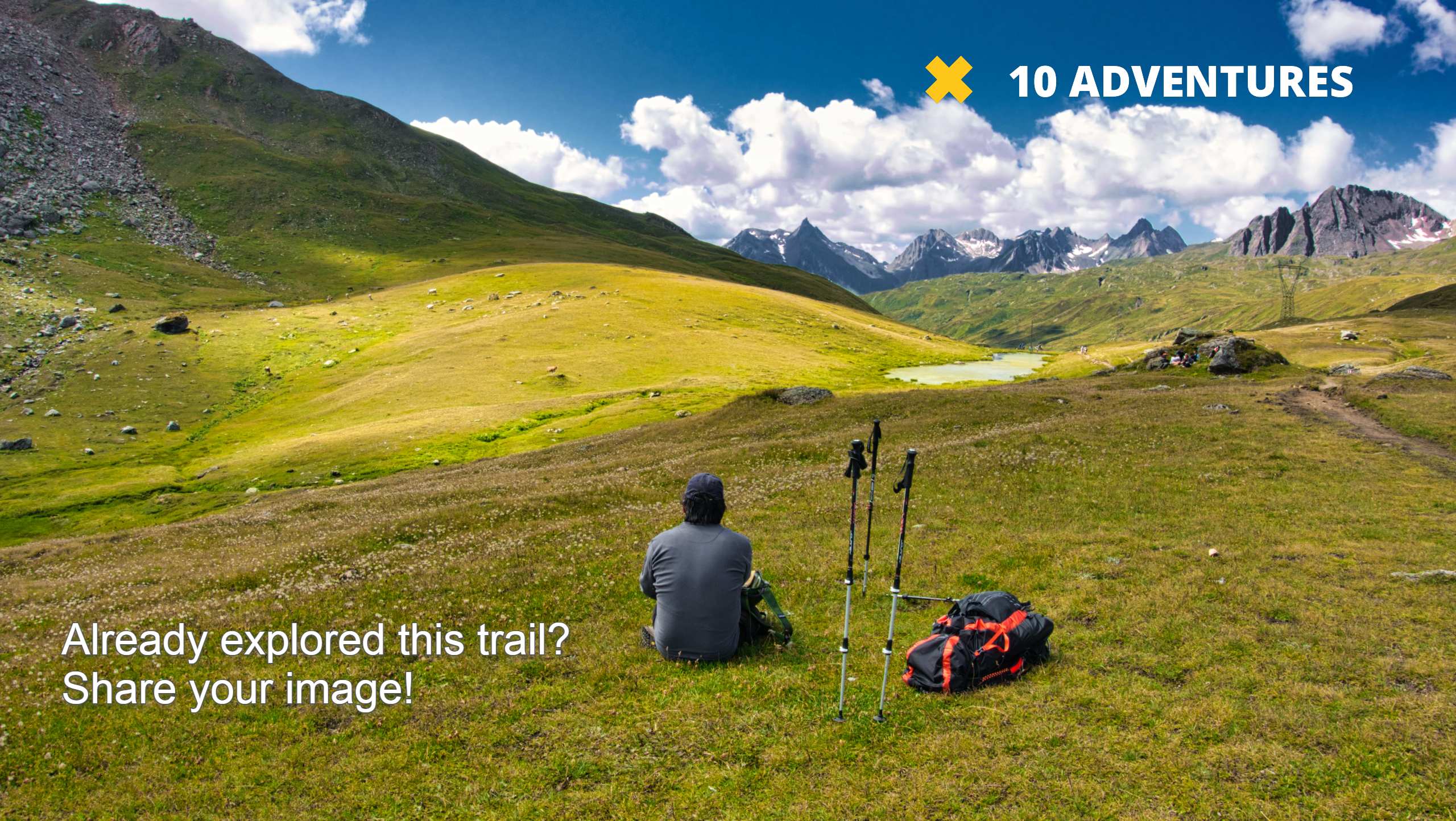
Bluff Lake via PCT
Difficulty Rating:
The Bluff Lake via PCT is a secluded adventure in the Shasta-Trinity National Forest that offers wonderful scenery and makes for a great day of hiking. Explore the high country and indulge in the marvelous vistas of the Trinity Alps and Mount Shasta.
Getting there
The Bluff Lake via PCT departs from the PCT Trailhead off National Forest Development Road 17.

About
| Backcountry Campground | |
| When to do | Year-round |
| Pets allowed | Yes - On Leash |
| Family friendly | Older Children only |
| Route Signage | Average |
| Crowd Levels | Low |
| Route Type | Out and back |
Bluff Lake via PCT
Elevation Graph
Weather
Bluff Lake via PCT Description
Intermediate hikers and families with older children can enjoy this epic expedition into the high country. Exhibiting the diversity and beauty of Northern California’s topographies, you will be granted views of Mount Shasta dominating the skyline and the encompassing foothills adorned with lush forestlands. Note this route is open and accessible year-round, but winter expeditions require microspikes or snowshoes to safely navigate the likely icy terrain. We love this tranquil adventure, and we know you will too!
Setting out from the trailhead, the Bluff Lake via PCT follows the PCT northwest. This rocky route will guide you through sparse tree stands as you venture along the ridge and into the basin. Mind your footing on the uneven terrain, and be sure to admire the mountainous scenery as you hike. Gradually descending, the PCT will redirect you south, leading you into the mountain basin adorned with montane meadows.
Continue trekking, and you will ultimately be delivered to an overlook of Bluff Lake. Properly named, if you wish to explore the shoreline of the charming alpine lake, you will have to descend the vertiginous bluff down to the water—which is not recommended. Enjoy the expansive mountain panoramas and the view of the beautiful lake before heading back the way you came to the trailhead.
Similar hikes to the Bluff Lake via PCT hike

East Weaver Lake Trail
The East Weaver Lake Trail is a wonderful adventure on the boundary of the Trinity Alps Wilderness that features amazing…
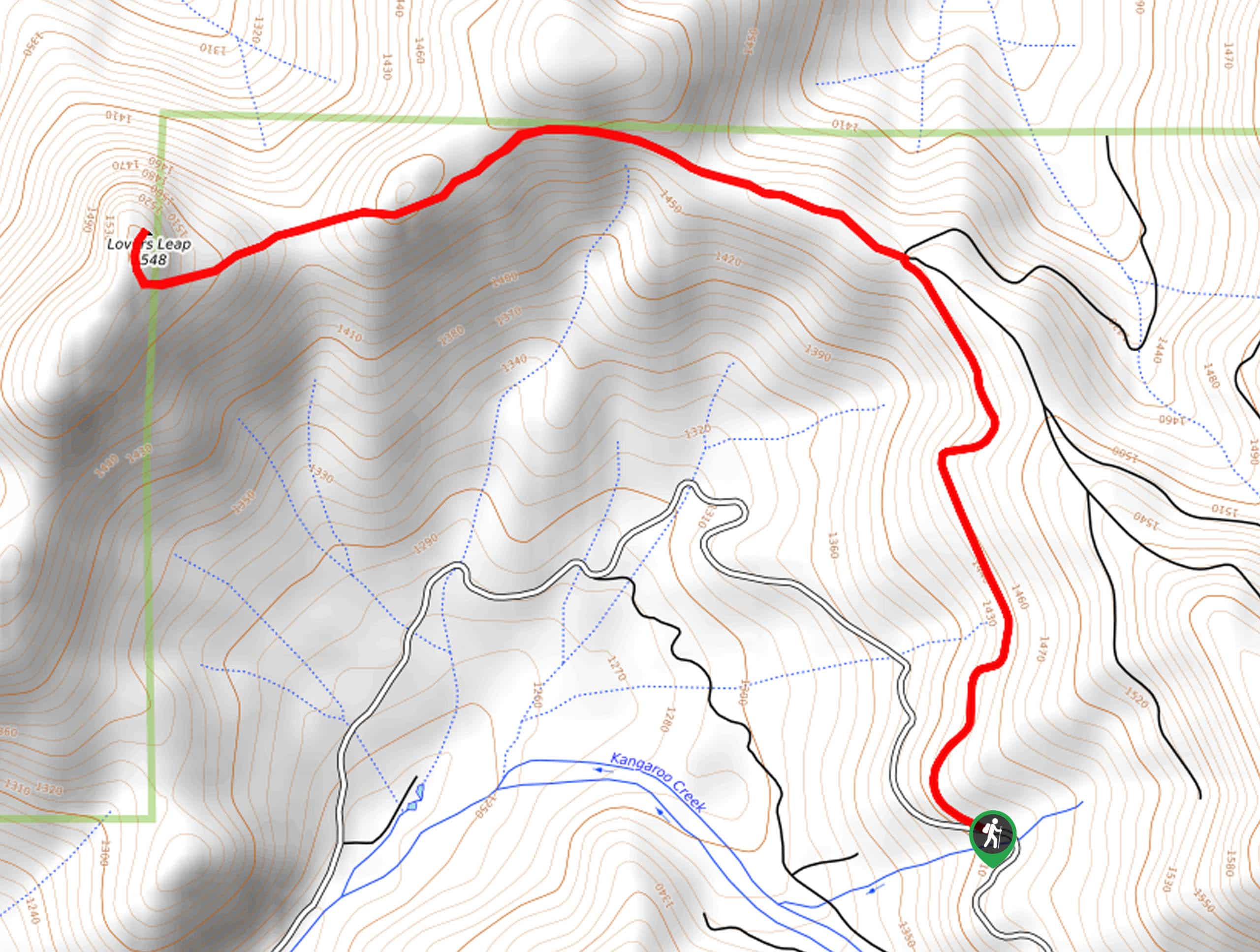
Lover’s Leap Hike
The Lover’s Leap Hike is an awesome adventure up to the summit of a granite bluff overlooking the Cascade Range…
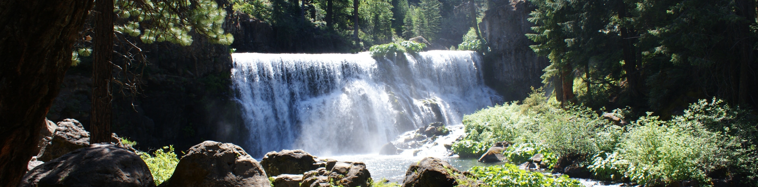
McCloud River Trail
The McCloud River Trail is an epic one-way adventure in the Shasta-Trinity National Forest that boasts wonderful scenery. Wander along…
Comments