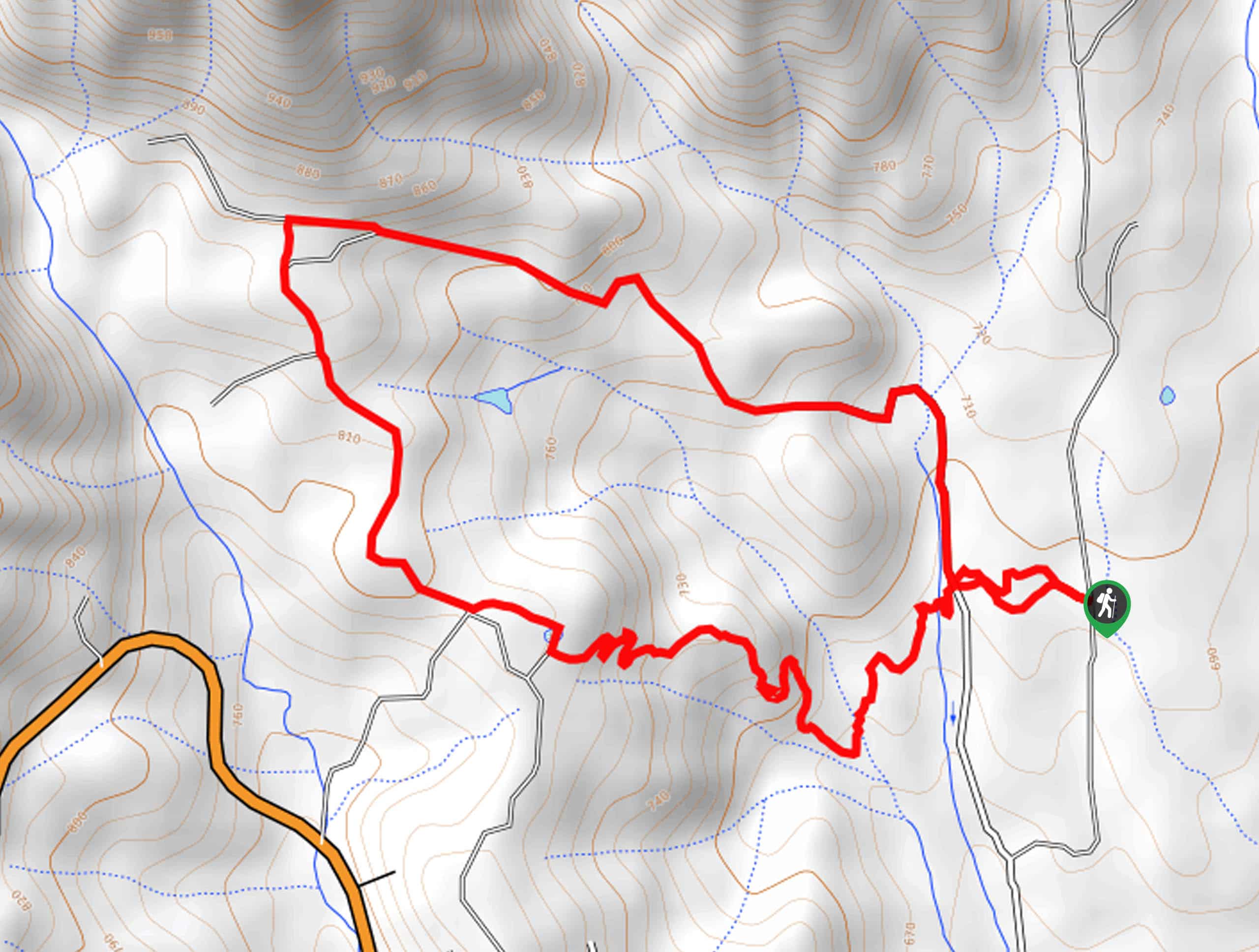
McKenzie Gulch Loop
View Photos
McKenzie Gulch Loop
Difficulty Rating:
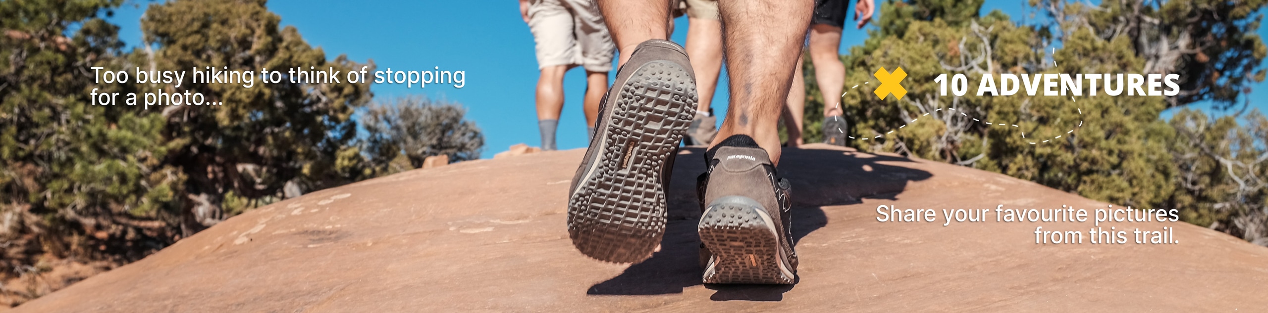
The McKenzie Gulch Loop is a fun family adventure in the Shasta-Trinity National Forest that travels through lush montane meadows, offering inspiring views of the surrounding mountainous landscape. The next time you find yourself near Weaverville be sure to take a detour into the wilderness.
Getting there
The McKenzie Gulch Loop is accessed via the trailhead off Sidney Gulch Road.

About
| Backcountry Campground | No |
| When to do | Year-round |
| Pets allowed | Yes - On Leash |
| Family friendly | Yes |
| Route Signage | Average |
| Crowd Levels | Low |
| Route Type | Lollipop |
McKenzie Gulch Loop
Elevation Graph
Weather
McKenzie Gulch Loop Description
Seeking a fast and fun adventure in the Shasta-Trinity National Forest? If yes, then you have come to the right place. The McKenzie Gulch Loop is a wonderfully scenic adventure that boasts wonderful views of the Trinity Alps. Though this route is accessible year-round, we enjoy hiking most in the spring or fall when conditions aren’t unbearable hot and the flora is still lush and vibrant. Exhibiting awesome views, the exposed terrain along this route also warrants extreme conditions, so check the forecast and dress accordingly. Note a trail GPS is not needed but recommended.
Embark on your adventure along the McKenzie Gulch Loop from the trailhead off Sidney Gulch Road. From here, you will be guided west, back to the Sidney Gulch Road, where you will veer right, hiking north along the dirt route. Gradually climbing, the path will reroute hikers west, up into the tall brush. Eventually, you will confront an intersection; keep left here. Now wandering south, you will be granted impressive views of the mountainous landscape that lines the horizon.
Ultimately you will be diverted off the explicit route, heading east. Using the trail GPS, you will be guided down a set of switchbacks, back down to the Sidney Gulch Road and trailhead.
Similar hikes to the McKenzie Gulch Loop hike

East Weaver Lake Trail
The East Weaver Lake Trail is a wonderful adventure on the boundary of the Trinity Alps Wilderness that features amazing…

Bluff Lake via PCT
The Bluff Lake via PCT is a secluded adventure in the Shasta-Trinity National Forest that offers wonderful scenery and makes…
Lover’s Leap Hike
The Lover’s Leap Hike is an awesome adventure up to the summit of a granite bluff overlooking the Cascade Range…
Comments