Hazel Creek Road Hike
View Photos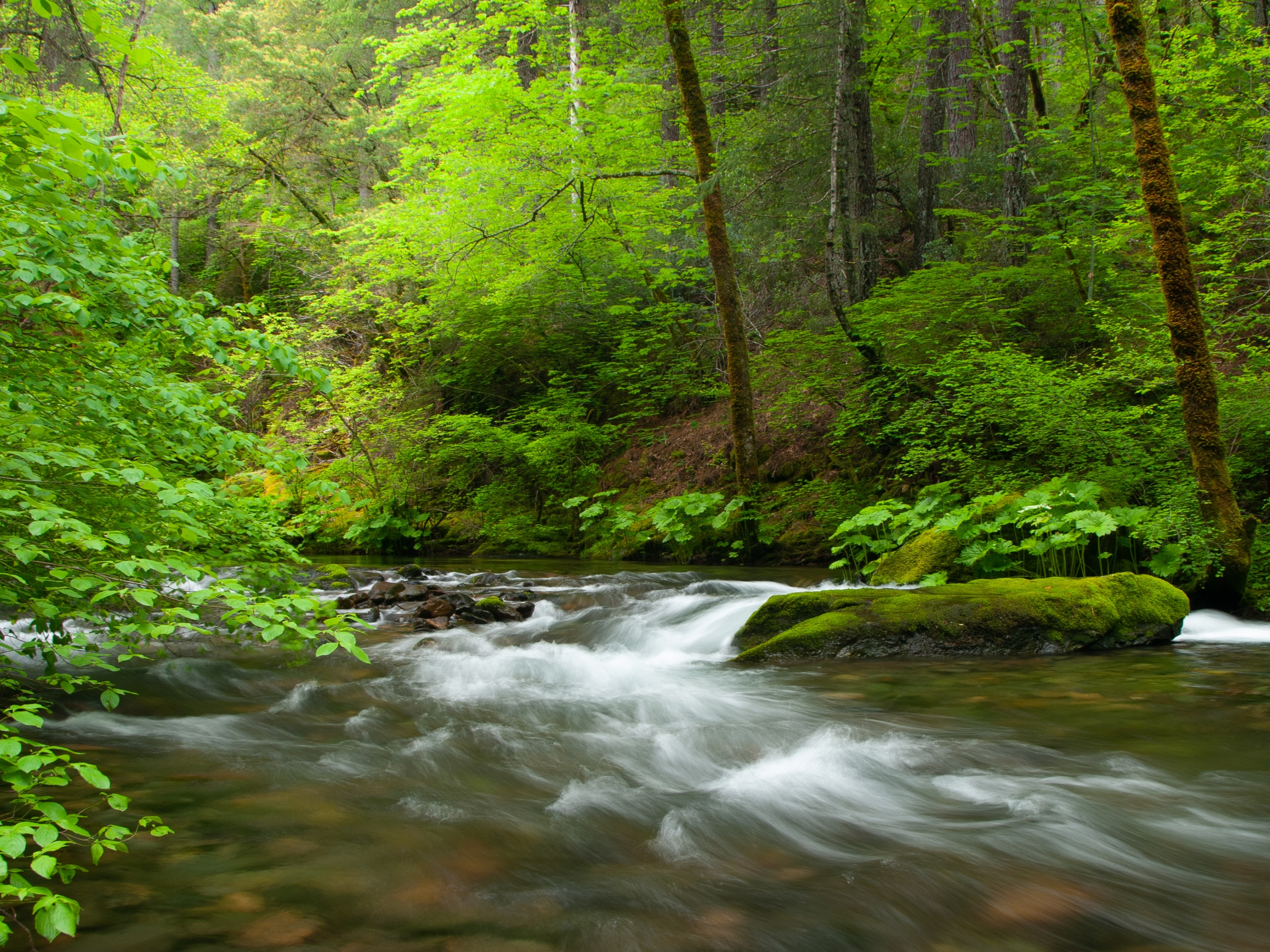
Hazel Creek Road Hike
Difficulty Rating:
The Hazel Creek Road Hike is a memorable adventure in the Shasta-Trinity National Forest that wanders along a logging road bound by lush forestlands and beautiful creeks. This enchanting nature walk is worth adding to your adventure itinerary.
Getting there
The trailhead is accessed via Sims Road.

About
| Backcountry Campground | |
| When to do | Year-round |
| Pets allowed | Yes |
| Family friendly | Yes |
| Route Signage | Average |
| Crowd Levels | Moderate |
| Route Type | Out and back |
Hazel Creek Road Hike
Elevation Graph
Weather
Hazel Creek Road Hike Description
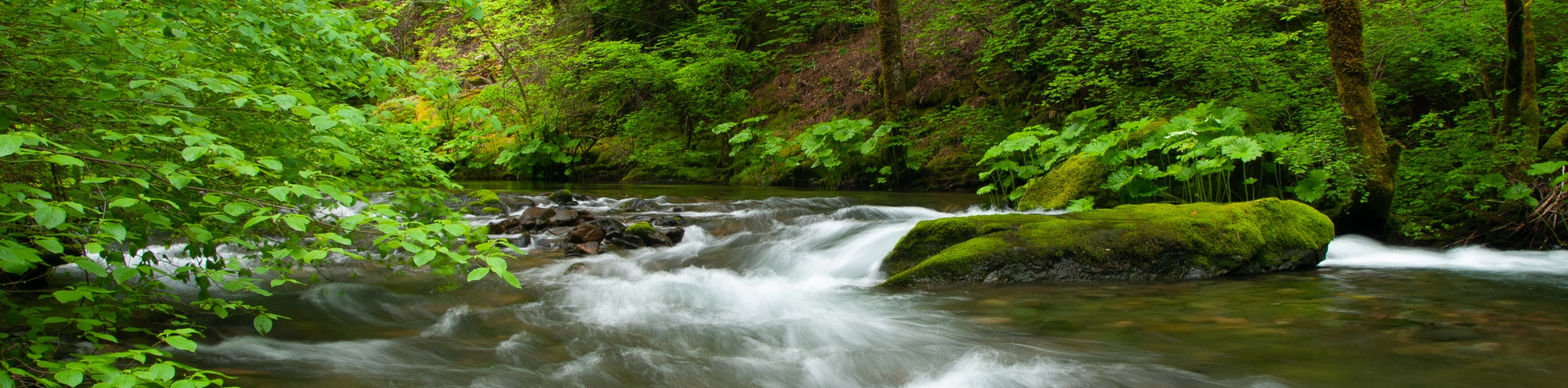
Disconnect from the real world and reconnect with nature along this magical woodland adventure. Wander along the old logging road along the gurgling waters of Hazel Creek. This lovely adventure offers the perfect opportunity to get out into the fresh air. Note that much of this path is paved, but it does travel up an incline, so those with strollers and wheelchairs may need assistance. Don’t forget to charge your camera; the scenes along this route are picture-perfect.
Setting out from the trailhead in the Sims Flat Campground, the Hazel Creek Road Hike travels eastwardly along the Hazel Creek Road. When there are no loggers, this trail boasts a tranquil experience. Wandering through the enchanting woodlands along the beautiful creek, you will be lulled into a state of relaxation as you climb.
This route can be explored for a while, but we chose to turn around at the intersection with the North Fork Hazel River. From here, turnaround and retrace your footing along the route back to the trailhead.
Similar hikes to the Hazel Creek Road Hike hike

East Weaver Lake Trail
The East Weaver Lake Trail is a wonderful adventure on the boundary of the Trinity Alps Wilderness that features amazing…

Bluff Lake via PCT
The Bluff Lake via PCT is a secluded adventure in the Shasta-Trinity National Forest that offers wonderful scenery and makes…
Lover’s Leap Hike
The Lover’s Leap Hike is an awesome adventure up to the summit of a granite bluff overlooking the Cascade Range…
Comments