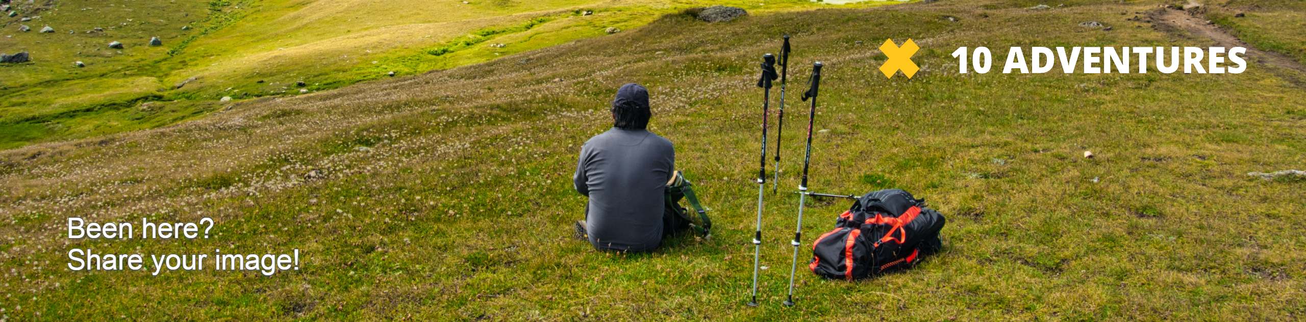
Pinnacle Peak Loop Trail
View Photos
Pinnacle Peak Loop Trail
Difficulty Rating:
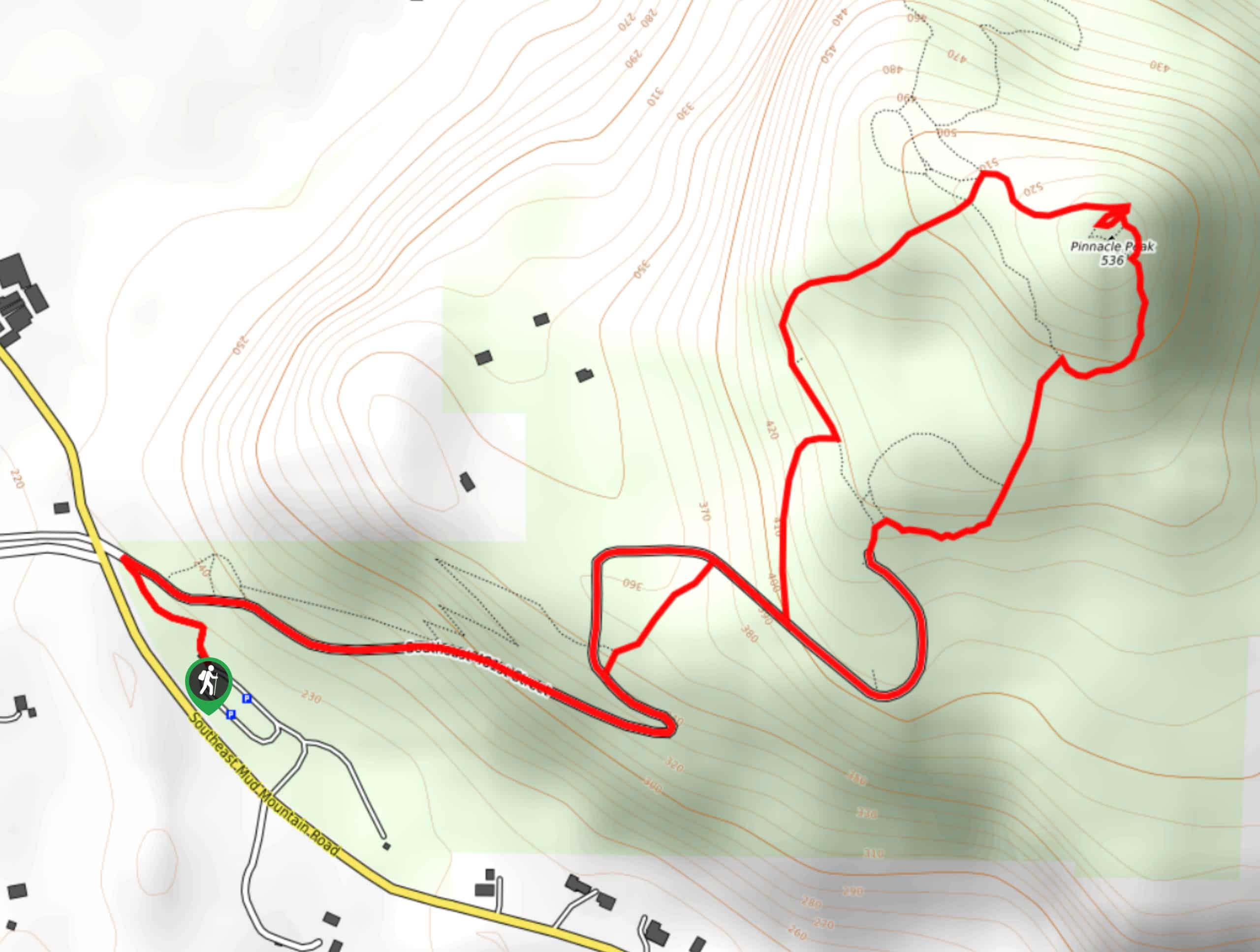
The Pinnacle Peak Loop Trail is a 3.0mi hike in Pinnacle Peak Park that sees heavy traffic and is moderately difficult. This hike is steep but quite short, making it easy to complete in an hour or two for most hikers. While the first ⅔ of the trail is a bit less interesting, the views of Mount Rainier from the top make it a worthwhile adventure.
Getting there
The trailhead for Pinnacle Peak Loop Trail is off the park access loop road.

About
| Backcountry Campground | No |
| When to do | March-October |
| Pets allowed | Yes - On Leash |
| Family friendly | Older Children only |
| Route Signage | Average |
| Crowd Levels | High |
| Route Type | Loop |
Pinnacle Peak Loop Trail
Elevation Graph
Weather
Pinnacle Peak Loop Trail Description
Pinnacle Peak is one of the quickest peaks you can bag without driving too far from Seattle, making it a favorite with weekenders. It’s a steep trail, but it’s quite short, so you’ll earn your views without needing to spend much time on the mountain. We recommend downloading a GPS track as the trail can get overgrown in spots.
Begin from the corner of the access road loop, turning right onto SE 481st St and following this until the trail just off on the left. Take this trail, keeping left at the next junction. Continue straight through the next set of intersecting trails to head up the mountain.
The final half mile or so is the steepest, but you’ll be treated to a great view of Mount Rainier at the top. Continue off the summit to the south, keeping left at the next junction to descend past the interpretive signage and picnic area.
Similar hikes to the Pinnacle Peak Loop Trail hike

Explorer Falls Hike
The Explorer Falls hike is a 5.3mi moderate hike near Sultan, Washington. This trail takes you to a…

Sky Country to Harvey Manning Loop
The Sky Country to Harvey Manning Loop is a 4.2mi loop trail in the northern part of Cougar…
Black Diamond Coal Mine Trail
The Black Diamond Coal Mine Trail is a 6.7mi moderate trail that is mostly used by mountain bikers.…
Comments