

Explorer Falls Hike
View Photos
Explorer Falls Hike
Difficulty Rating:
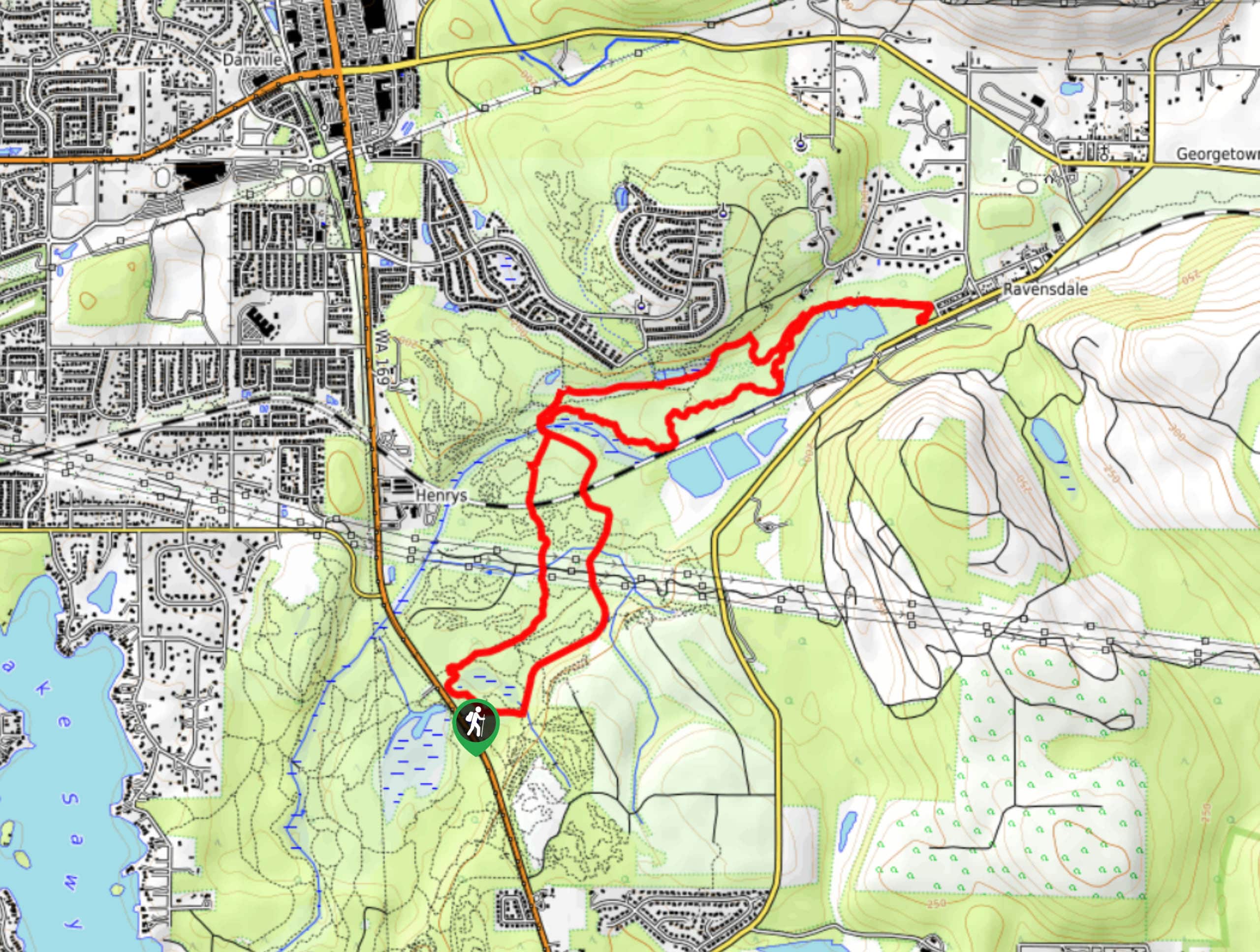
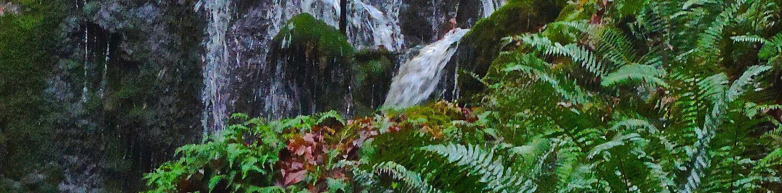
The Explorer Falls hike is a 5.3mi moderate hike near Sultan, Washington. This trail takes you to a waterfall with a neat cave to explore. It’s not too challenging and it’s very easy to follow, thanks to a wide old logging road serving as the route. Try to visit after it’s rained recently for the best view of the falls.
Getting there
The trailhead for the Explorer Falls hike is on Monroe Camp Road.

About
| Backcountry Campground | No |
| When to do | March-October |
| Pets allowed | Yes - On Leash |
| Family friendly | Yes |
| Route Signage | Average |
| Crowd Levels | High |
| Route Type | Out and back |
Explorer Falls Hike
Elevation Graph
Weather
Explorer Falls Hike Description
Explorer Falls is a pretty waterfall that can be accessed relatively easily, heading out on a very clear logging road with no technical challenges. You can use an access trail to get down near the base of the falls or admire them from above. Active kids will love this hike.
Begin from the trailhead, hiking up the wide, even road. It gently curves, gaining gradual elevation. Pass an unnamed pond before the trail forks. Go right, then go left at the next split. At the 4-way junction, make a sharp right to cross back over the creek onto Monroe Camp Road. Follow this to the falls. When you’re ready, retrace your steps back to the trailhead.
Similar hikes to the Explorer Falls Hike hike

Sky Country to Harvey Manning Loop
The Sky Country to Harvey Manning Loop is a 4.2mi loop trail in the northern part of Cougar…
Black Diamond Coal Mine Trail
The Black Diamond Coal Mine Trail is a 6.7mi moderate trail that is mostly used by mountain bikers.…
Far Country Falls via Licorice Fern Trail
Far Country Falls via Licorice Fern Trail is a 4.8mi moderate hike in Cougar Mountain Regional Wildland Park…
Comments