Myrtle Edwards Park to Elliot Bay Park Walk
View Photos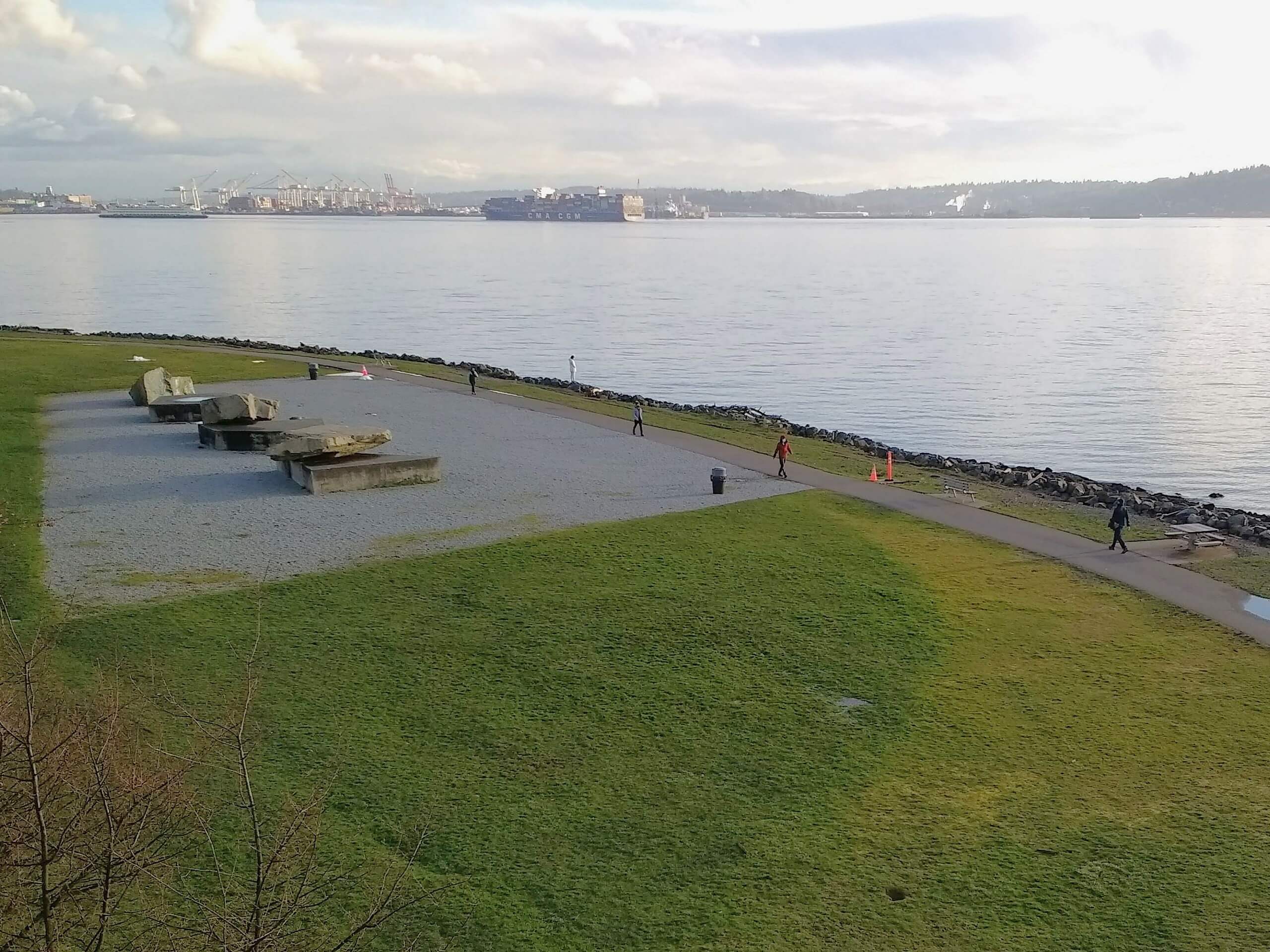
Myrtle Edwards Park to Elliot Bay Park Walk
Difficulty Rating:
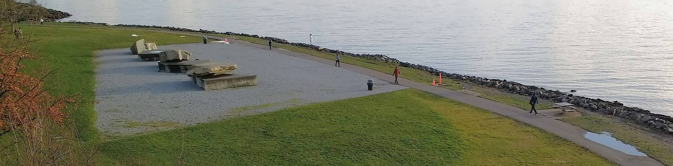
The walk from Myrtle Edwards Park to Elliot Bay Park on this smooth, straightforward route. This 2.7mi walk is scenic, smooth, and straightforward, making it a popular choice for locals. Whether you're walking, running, or biking, you’ll enjoy the waterside views of this route. There are several parks along the way you can stop into, including Centennial Park and Olympic Sculpture Park.
Getting there
The trailhead for Myrtle Edwards Park to Elliot Bay Park is near Pier 70.

About
| Backcountry Campground | No |
| When to do | Year-round |
| Pets allowed | Yes - On Leash |
| Family friendly | Yes |
| Route Signage | Average |
| Crowd Levels | Moderate |
| Route Type | Out and back |
Myrtle Edwards Park to Elliot Bay Park Walk
Elevation Graph
Weather
Myrtle Edwards Park to Elliot Bay Park Walk Description
The walk from Myrtle Edwards Park to Elliot Bay Park is an enjoyable gentle adventure with great views of the waterfront, trains, boats, and many parks on the way. The trail is paved, making it bike and stroller friendly. As with any other busy, multi-use trail, watch for bikers and runners and stay to the side of the path. While we’ll describe this trail as an out and back, you can hop onto the path at any point.
Begin from Pier 70 near Uptown Espresso. Take the trail near the water, perhaps stopping into the sculpture park before you get going. You’ll walk through Myrtle Edwards Park and Centennial Park, turning around at Elliot Bay. Retrace your steps back to where you started.
Similar hikes to the Myrtle Edwards Park to Elliot Bay Park Walk hike

Sky Country to Harvey Manning Loop
The Sky Country to Harvey Manning Loop is a 4.2mi loop trail in the northern part of Cougar…

Iverson Spit Preserve Loop
The Iverson Spit Preserve Loop is a 1.2mi loop hike right on the beach, coursing through a beaver…

Lowell Riverfront Trail
The Lowell Riverfront Trail is a 3.0mi route alongside the Snohomish River in Everett. This trail is heavily…
Comments