

Lowell Riverfront Trail
View Photos
Lowell Riverfront Trail
Difficulty Rating:
The Lowell Riverfront Trail is a 3.0mi route alongside the Snohomish River in Everett. This trail is heavily trafficked and rated as easy. Most of the scenery is urban, but you’ll get a few nice moments in the trees and beside the river.
Getting there
The trailhead for the Lowell Riverfront Trail is at the eastern end of Rotary Park near the boat launch.

About
| Backcountry Campground | No |
| When to do | Year-round |
| Pets allowed | Yes - On Leash |
| Family friendly | Yes |
| Route Signage | Average |
| Crowd Levels | High |
| Route Type | Out and back |
Lowell Riverfront Trail
Elevation Graph
Weather
Lowell Riverfront Trail Description
The Lowell Riverfront Trail is a pleasant walk along the Snohomish River in Everett. It’s a good choice for a family walk due to its ease and it’s conveniently connected to Rotary Park and Lowell Riverfront Park. There isn’t much shade on this trail, so come prepared on hot days.
Begin on the trail near the boat launch. The route hugs the river, passing between it and some ponds as you turn north. Soon you’ll be walking through the main park of Lowell Riverfront Park. The trail turns to the left and follows the streets to its end. Turn around here and retrace your steps to the trailhead.
Similar hikes to the Lowell Riverfront Trail hike

Sky Country to Harvey Manning Loop
The Sky Country to Harvey Manning Loop is a 4.2mi loop trail in the northern part of Cougar…

Iverson Spit Preserve Loop
The Iverson Spit Preserve Loop is a 1.2mi loop hike right on the beach, coursing through a beaver…
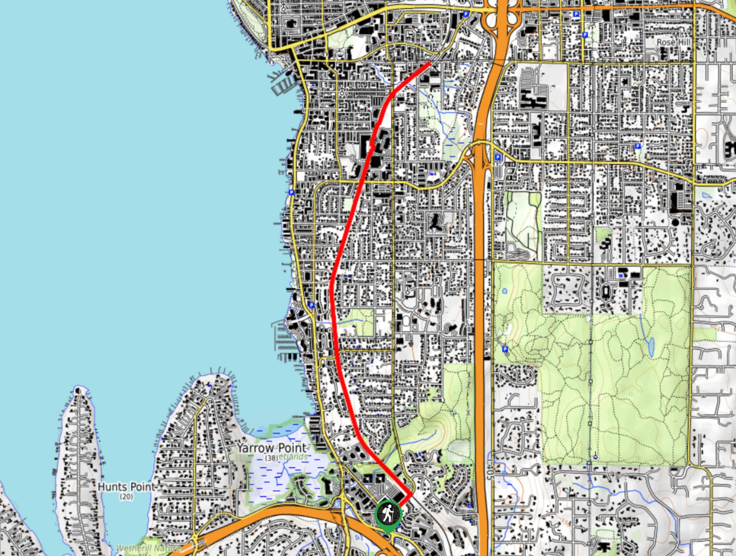
Cross Kirkland Corridor Trail
The Cross Kirkland Corridor Trail is a multi-use path that runs through Kirkland north-south. This section of the trail begins…
Comments