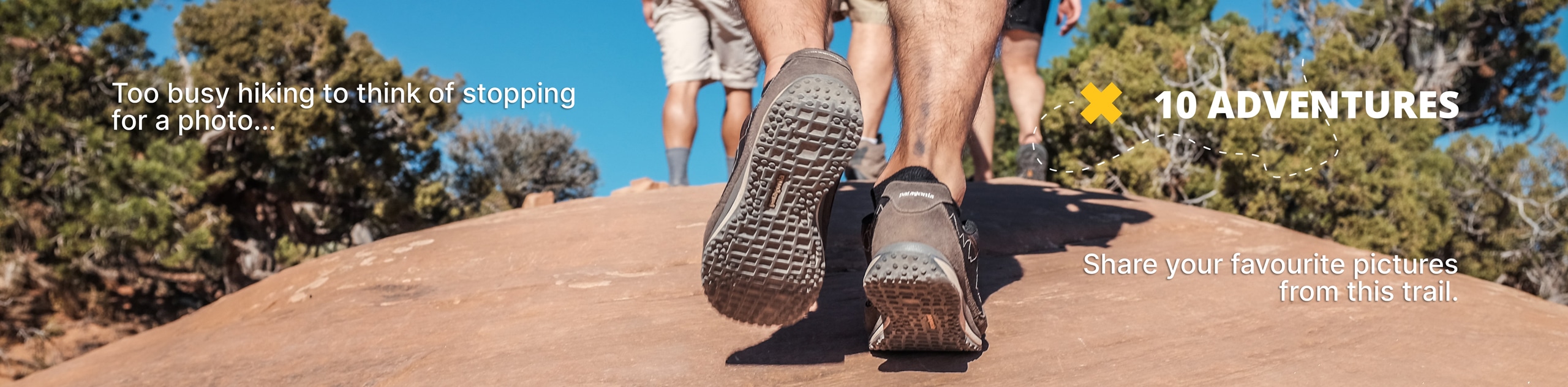
Tryst Lake Trail
View Photos
Tryst Lake Trail
Difficulty Rating:
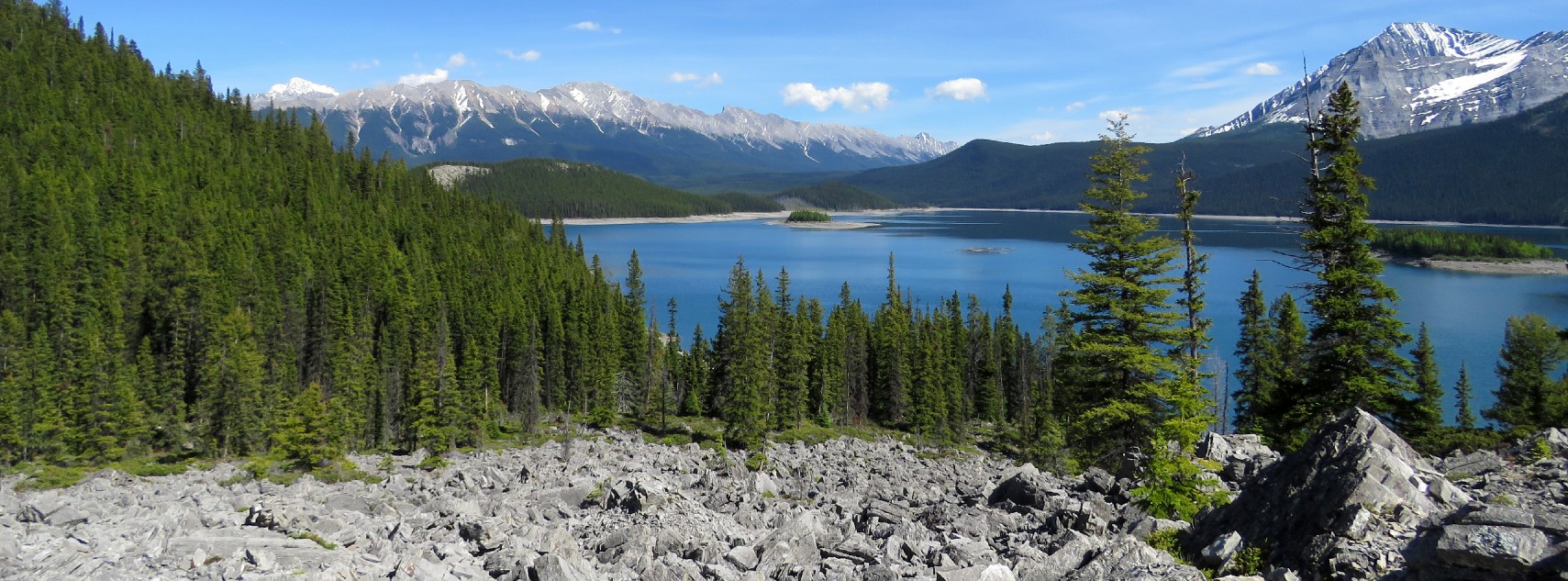
The trail to Tryst Lake is used year-round by many different types of adventurers. The summer trail is easy to follow and very straightforward. The elevation comes gradually and the lake is a great objective for beginner-intermediate hikers.
Getting there
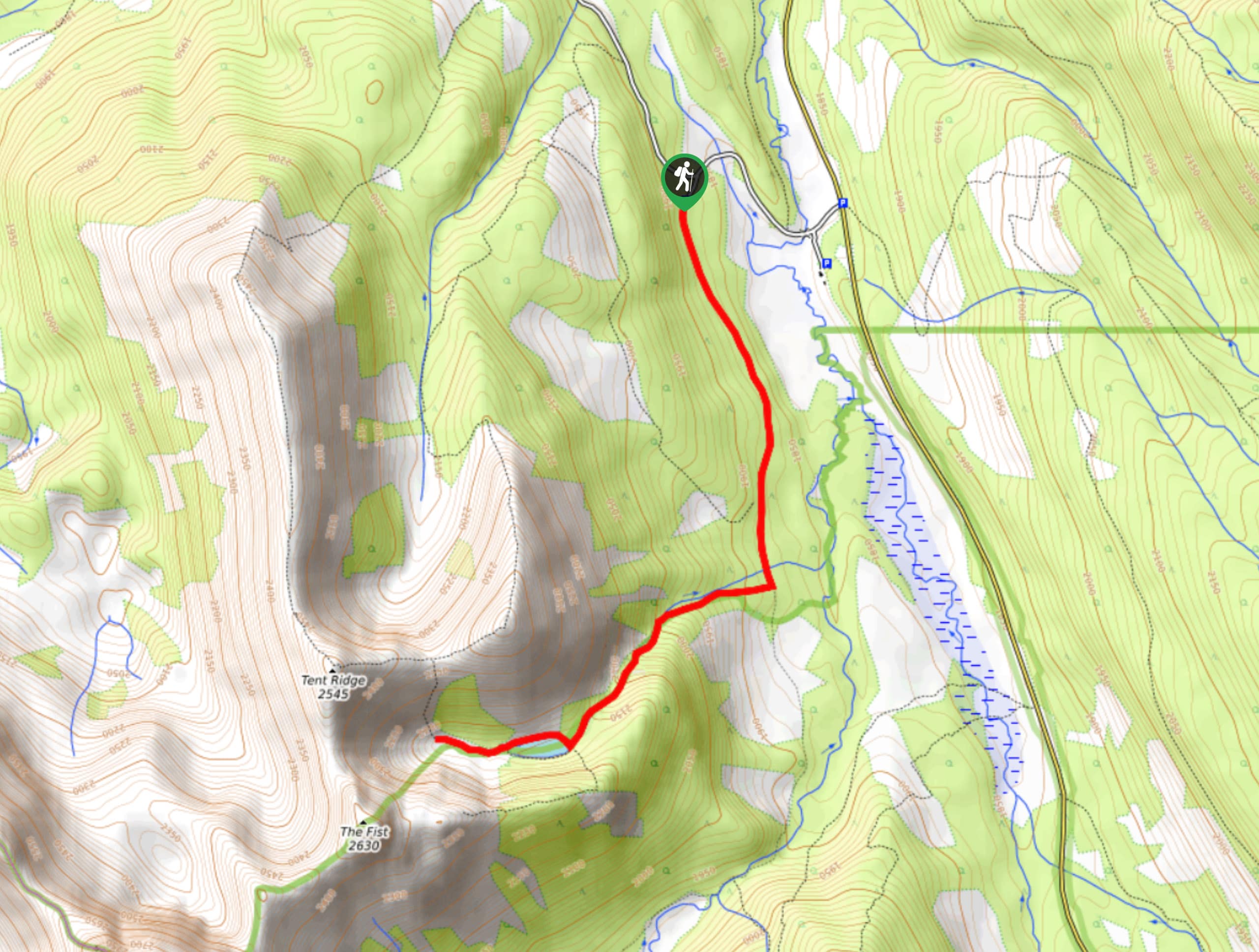
From the Trans Canada Highway, exit onto Highway 40 and follow this for 31.1mi before turning right onto Kananaskis Lakes trail. After 1.2mi, turn right onto Smith Dorrien/Spray Lakes Road. Stay on this for 16.2mi before turning left towards Mount Shark at Mount Engadine Lodge. Take your first left after the lodge to the trailhead.

About
| When to do | June-September |
| Backcountry Campsites | No |
| Pets allowed | Yes - On Leash |
| Family friendly | Yes |
| Route Signage | Average |
| Crowd Levels | High |
| Route Type | Out and back |
Tryst Lake Trail
Elevation Graph
Weather
Tryst Lake Trail Description
From the trailhead, follow the main trail for 1.1mi before reaching a junction. Take the trail to the right for Tryst Lake. Gain elevation gradually as you make your way along the easy trail to Tryst Lake. There are options to make your way up the Tryst Lake ridge, which is a popular winter destination for skiers. From Tryst Lake, you can also link your trip with Tent Ridge to create a circuit. The lake is a beautiful and achievable destination itself; there is no pressure to push on to higher objectives.

Similar hikes to the Tryst Lake Trail hike
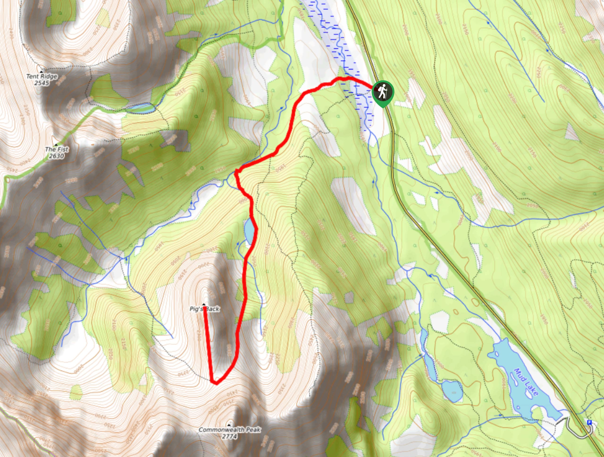
Pig’s Back Trail
The Pig’s Back is a route to a prominent feature along the Commonwealth Ridge Traverse. You will hike up Commonwealth…
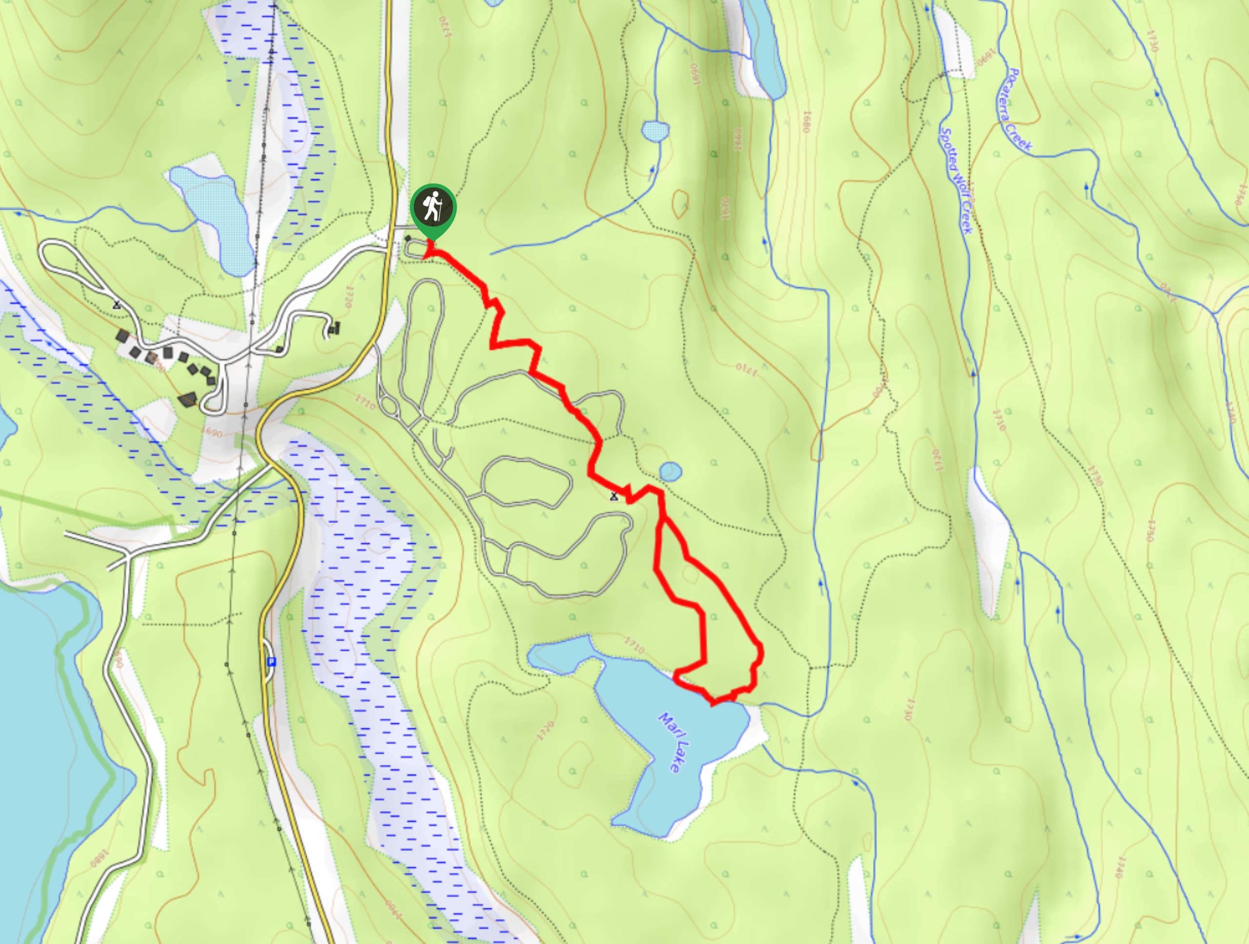
Marl Lake Trail
The Marl Lake trail is a moderately trafficked trail near Lower Kananaskis Lake that is accessible for all abilities. It…
Hidden Lake Trail
There’s an element of uncontained excitement when making your way to a destination with the name Hidden Lake. Just hearing…
ccharabin 2 years ago
Super pretty lake. The trail is a bit washed out in some sections but easy to follow. It was somewhat hard to find the trail as it branches off of a main trail. We blew past it. Just remember to look for a smaller trail branching off the starting trail on your right. GPS was helpful for us in locating it. This hike is also sometimes called Tryst Lake Ridge so keep that in mind when using GPS. This was also probably the quietest trail I have ever hiked. We only saw one other group who arrived to the lake after us. We had to cross and walk along a creek a few times so I can see this trail getting really muddy in spring or after a heavy rain. As for difficulty, this is a super accomplishable trail for all fitness levels. It took like 2.5 hours (not including breaks and lunch). I give the trail 9/10 stars since it does have some washed out spots and fallen trees blocking the path. I totally recommend this hike.