
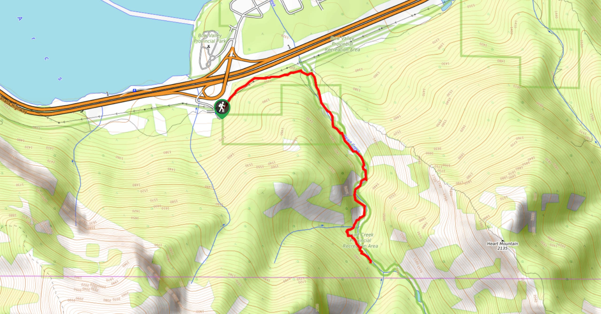
Heart Creek Trail
View Photos
Heart Creek Trail
Difficulty Rating:
The trail up Heart Creek is a popular access point for rock climbers; however, the canyon is wide open and the trail follows the creek upstream before coming to a turnaround point. There are some small foot bridges and lots of opportunities to explore the area on this trail.
Getting there
From Banff, merge onto the Trans Canada Highway eastbound towards Calgary. Travel 24.9mi and take exit 105 to Lac Des Arcs. Continue on Range Road 91A and stay right for the Heart Creek trailhead.

About
| When to do | May-October |
| Backcountry Campsites | No |
| Pets allowed | Yes - On Leash |
| Family friendly | Yes |
| Route Signage | Average |
| Crowd Levels | High |
| Route Type | Out and back |
Heart Creek Trail
Elevation Graph
Weather
Heart Creek Trail Description
The Heart Creek trail is a popular area that can become extremely crowded. It is close to the highway and a great location for various activities. If you prefer a quieter area, plan to head out on this trail early in the morning on a weekday and you should be able to avoid the high traffic times.
The trail along Heart Creek through the canyon is a great way to spend a half day. It is the perfect trail for all abilities and hosts exciting features like foot bridges, wildflowers, and rock climbing. You may see rock climbers scaling the walls of the canyon as you make your way through, so be sure to stop and watch.
From the parking lot, find the main trailhead sign for Heart Creek. The trail leads eastbound into the woods and crosses a small footbridge after roughly 164ft. As you make your way through the forested area that leads to the canyon, you will traverse the most difficult section of the trail. This section is difficult due to its rocky and rooty terrain. If you have a chariot or stroller, you will have difficulty here.
After 1969ft, you will see a trail leading to the right, which is a small connector trail. Continue straight and enter an open meadow with beautiful mountain views. Take the main trail across the meadow to Heart Creek and the mouth of the canyon. You will find some signs here for the Heart Mountain scramble route that warns hikers of the dangers of scrambling. Follow the trail to the right and begin your canyon adventure, avoiding the difficult scramble trail up Heart Mountain.
Start walking up the canyon, admiring the mountain views and the echoing sounds of flowing water. After hiking 656ft from the junction, you will cross your first narrow foot bridge over Heart Creek. The bridges through the canyon are not wide enough for strollers or chariots, but make exciting features for the kids.
The trail is a clear and well worn path that follows the right side of the creek for a short while. You will quickly come to the first rock climbing crag on your right. Watching the spectacle of climbers making their way up the many canyon routes is great entertainment for the whole family.
The path continues and crosses another sturdy bridge 656ft from the last. You will be hiking on some rough river rock on a clear trail here. Depending on the water levels, you may need to do some rock hopping and follow cairns, but the trail is always very easy to find.
The trail weaves back and forth over the creek connecting bridge to bridge and passing by multiple climbing areas. Making your way up the Heart Creek Canyon is kind of like choosing your own adventure. There are many places to splash in the water and explore the rocks and bridges as you hike.
0.9mi from the junction where you joined the canyon, you will notice the canyon begin to narrow and the sound of rushing water becomes more audible. Explore this area by looking for the polished smooth rock below a waterfall up on your left. The trail ends in 328ft, and you will need to turn back.
Continue to explore the canyon on your way back, taking in new views from this direction. Once you make it back to the junction, watch for signs and make note of the left turn back through the small meadow and into the forest. There is an unofficial pullout on the highway that is located straight out of the canyon. You may see other hikers continue straight, so if you parked at the official trailhead, be sure to catch the main trail at the junction.
Find other amazing hikes in Kananaskis Country
- Kananaskis – Smith Dorrien Trail: Chester Lake, Tent Ridge, Burstall Pass, West Wind Pass and Rummel Lake.
- Bragg Creek and Sheep River Provincial Park: Prairie Mountain, Powderface Ridge, Nihahi Ridge and ForgetMeNot Ridge.
- Kananaskis Trail: Troll Falls, Rawson Lake, Wasootch Ridge, Sarrail Ridge and Pocaterra Ridge.
Insider Hints
Make your way to this trail early and on weekdays to avoid the crowds. Watch out for busy long weekends too.
Bring snacks or a packed lunch in case this exciting trail ends up taking you much longer than expected, it can happen to all of us!
Be mindful of rock climbers and use proper etiquette when crossing near climbing areas. Don’t yell or throw rocks near these spots.
Similar hikes to the Heart Creek Trail hike
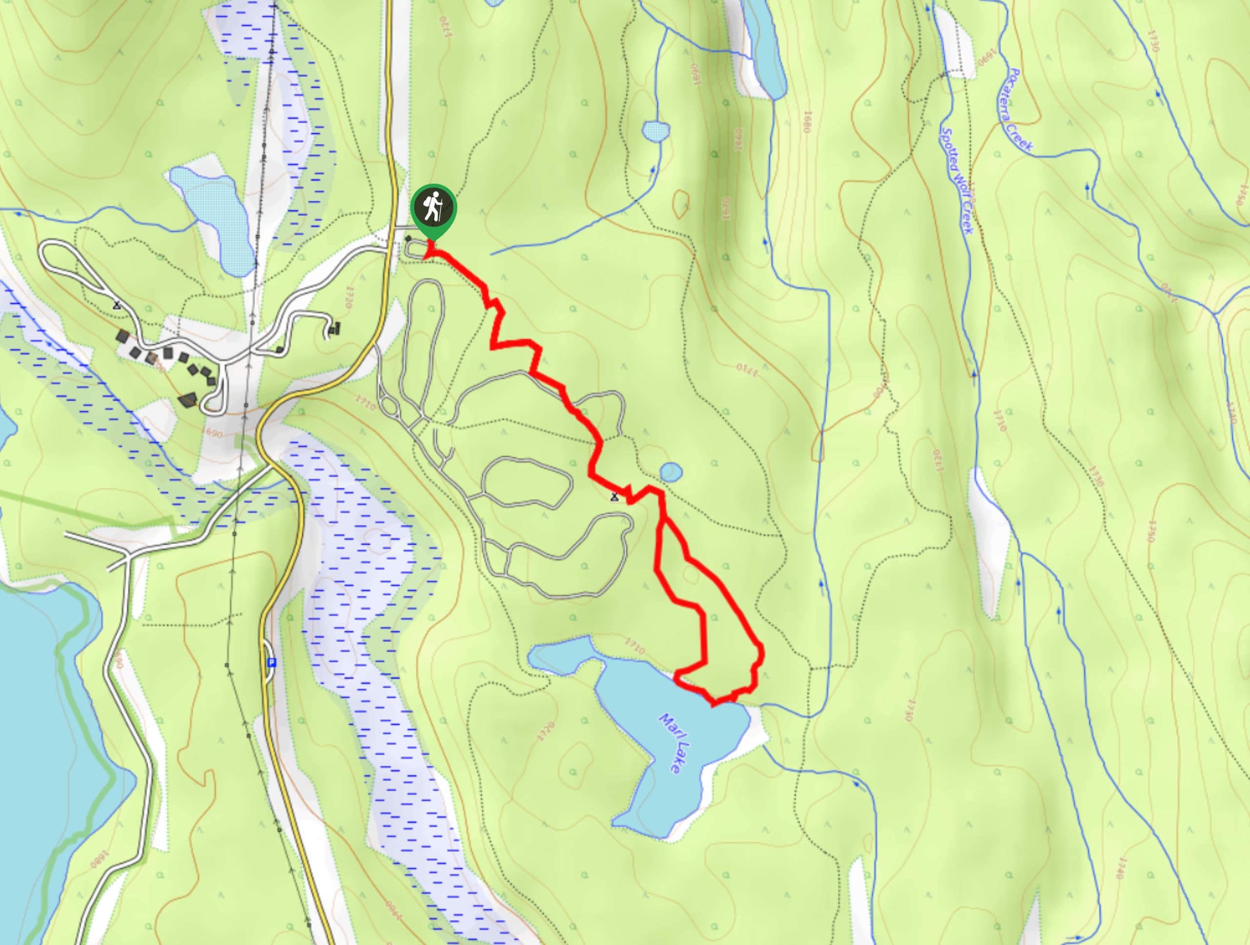
Marl Lake Trail
The Marl Lake trail is a moderately trafficked trail near Lower Kananaskis Lake that is accessible for all abilities. It…
Tryst Lake Trail
The trail to Tryst Lake is used year-round by many different types of adventurers. The summer trail is easy to…
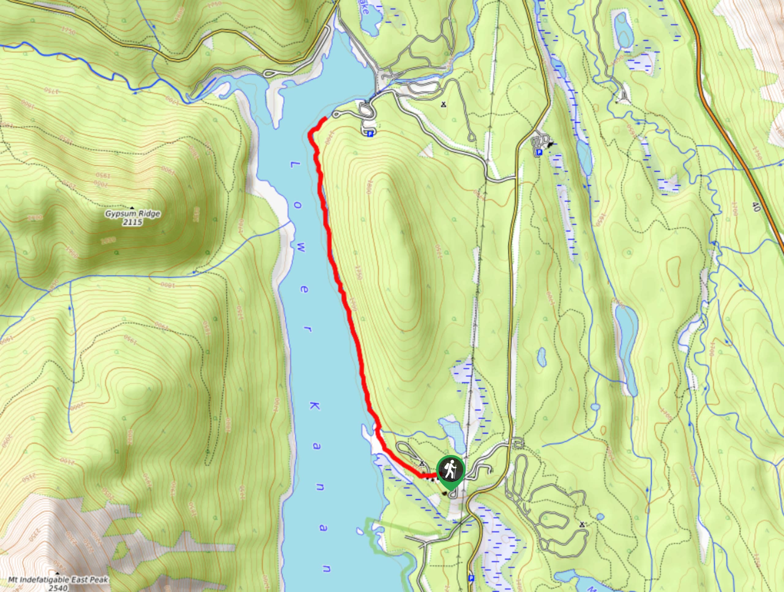
Lower Kananaskis Lake Trail
The Lower Kananaskis Lake trail follows the lakeshore between William Watson Lodge and Canyon Creek campground. The trail has educational…
Comments