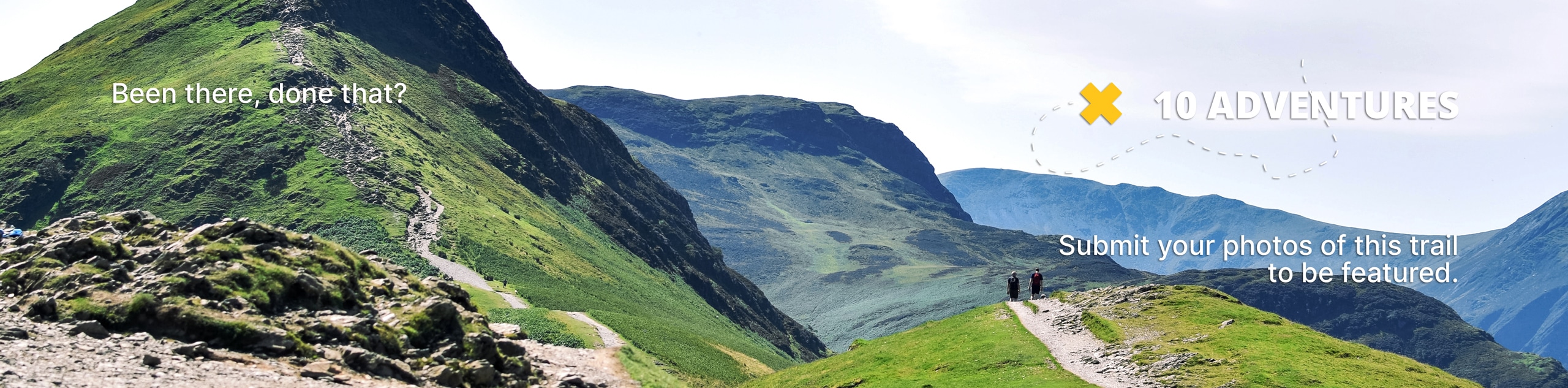
Lower Kananaskis Lake Trail
View Photos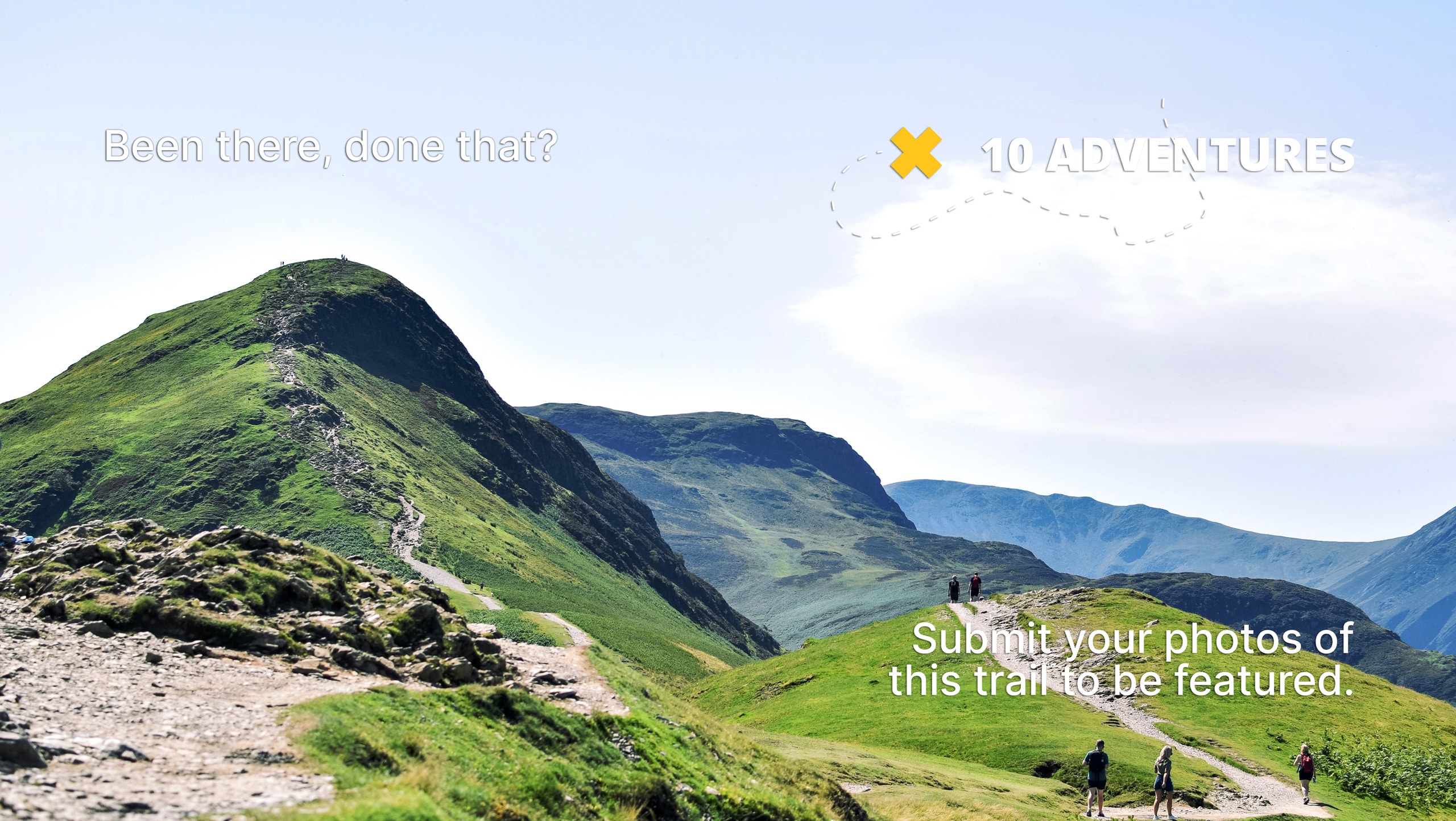
Lower Kananaskis Lake Trail
Difficulty Rating:
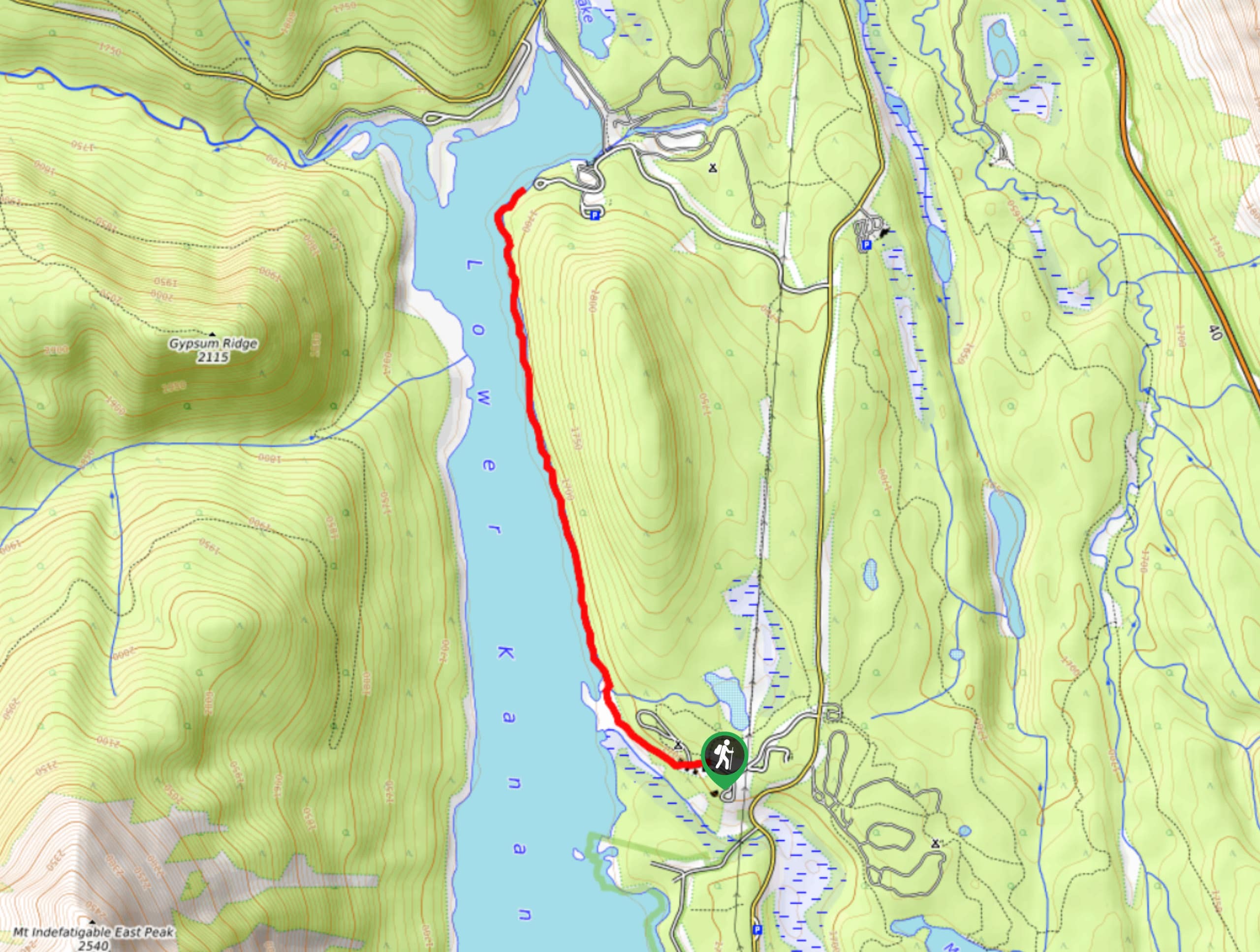
The Lower Kananaskis Lake trail follows the lakeshore between William Watson Lodge and Canyon Creek campground. The trail has educational interpretive signs along the way and maintains a gentle grade that allows hikers to admire the surrounding peaks.
Getting there
From Highway 40 at the junction with the Trans Canada Highway, travel southbound on Highway 40 for 24.9mi before turning right onto Kananaskis Lakes trail. Stay on this road for roughly 4.0mi before turning right following signs for William Watson Lodge. Park close to the lakeshore and follow signs for the William Watson Lodge Lakeshore Trail.

About
| When to do | May-October |
| Backcountry Campsites | No |
| Pets allowed | Yes - On Leash |
| Family friendly | Yes |
| Route Signage | Average |
| Crowd Levels | High |
| Route Type | Out and back |
Lower Kananaskis Lake Trail
Elevation Graph
Weather
Lower Kananaskis Lake Trail Description
From the parking near William Watson Lodge, walk to the lakeshore and stay right, joining the William Watson Lodge Lakeshore trail. This becomes the Lower Kananaskis Lake interpretive trail and leads to the Canyon Creek Campground. This is a gentle trail with great educational opportunities and stunning views.
Similar hikes to the Lower Kananaskis Lake Trail hike
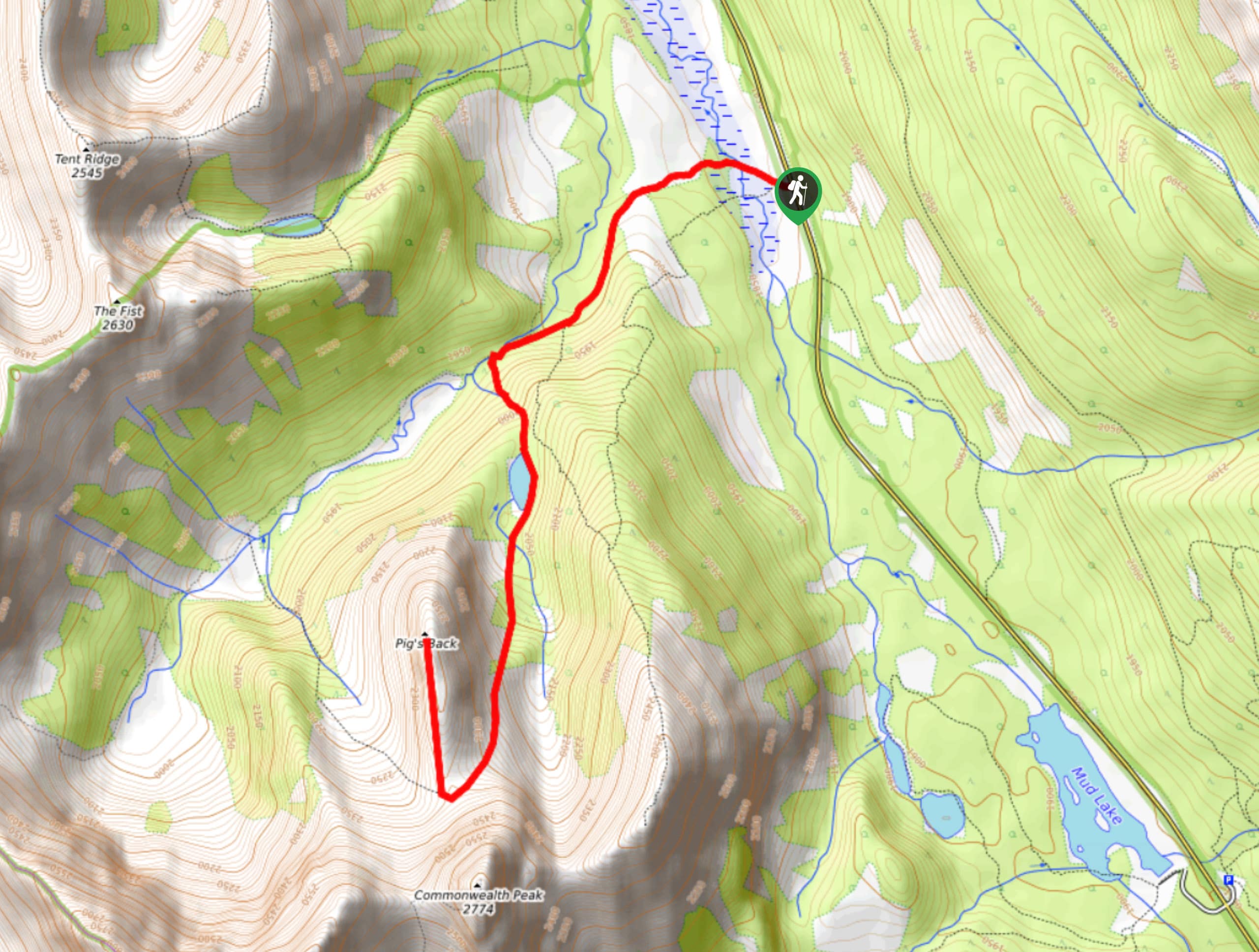
Pig’s Back Trail
The Pig’s Back is a route to a prominent feature along the Commonwealth Ridge Traverse. You will hike up Commonwealth…
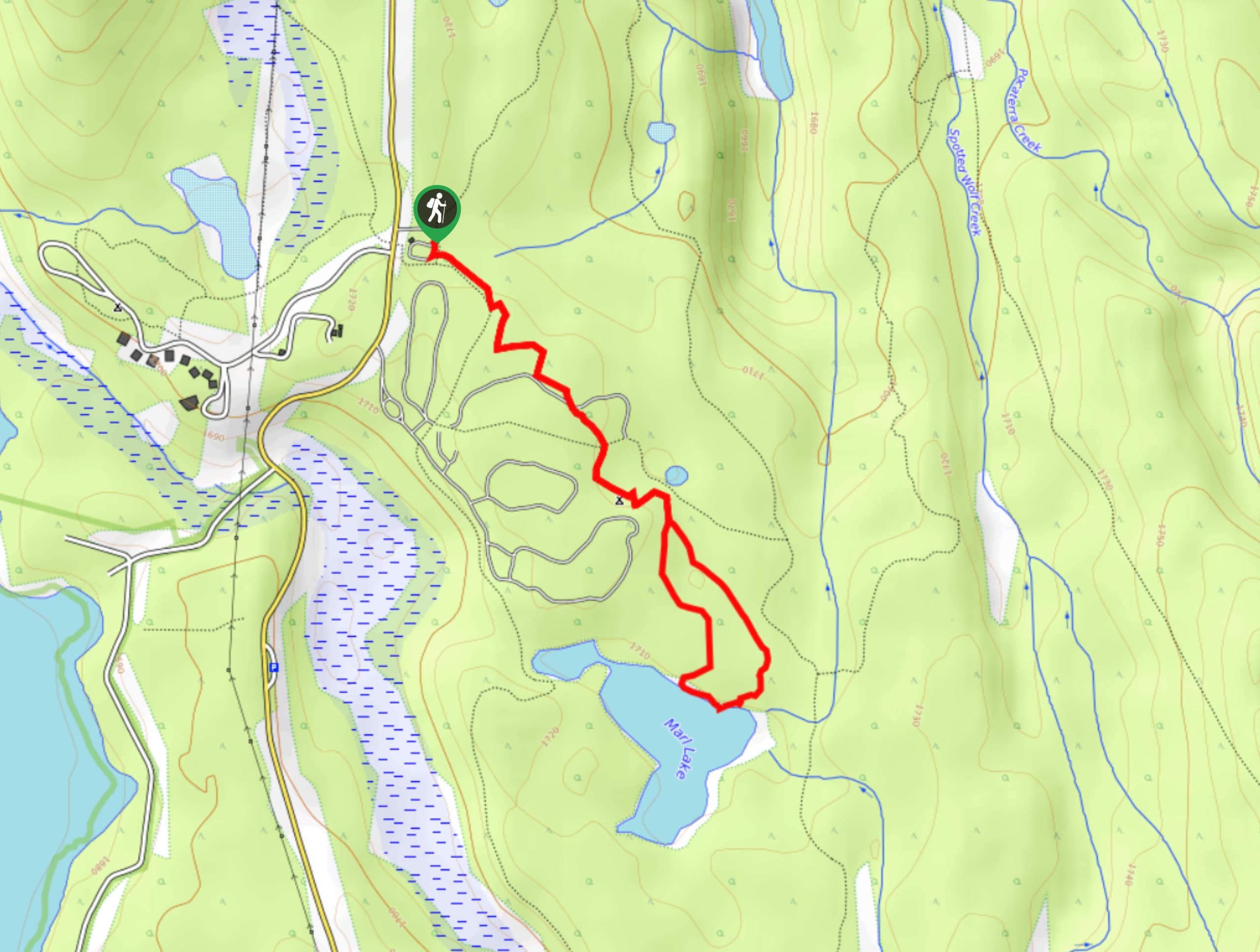
Marl Lake Trail
The Marl Lake trail is a moderately trafficked trail near Lower Kananaskis Lake that is accessible for all abilities. It…
Tryst Lake Trail
The trail to Tryst Lake is used year-round by many different types of adventurers. The summer trail is easy to…
Comments