Burstall Pass hike
View Photos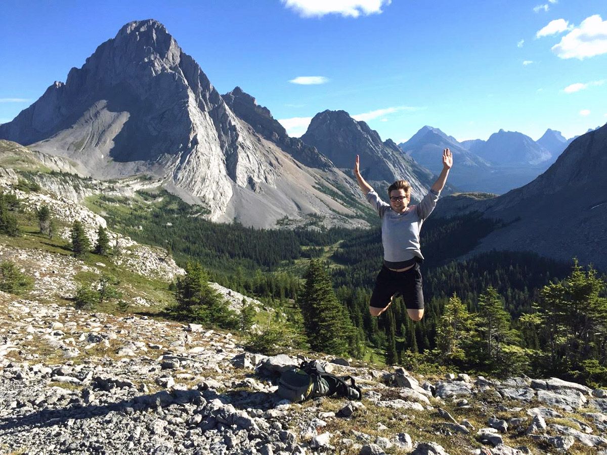
Burstall Pass hike
Difficulty Rating:
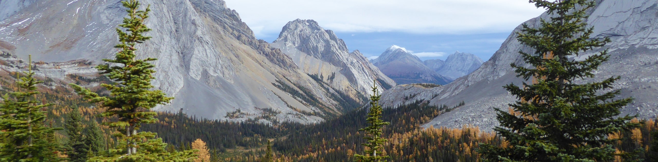
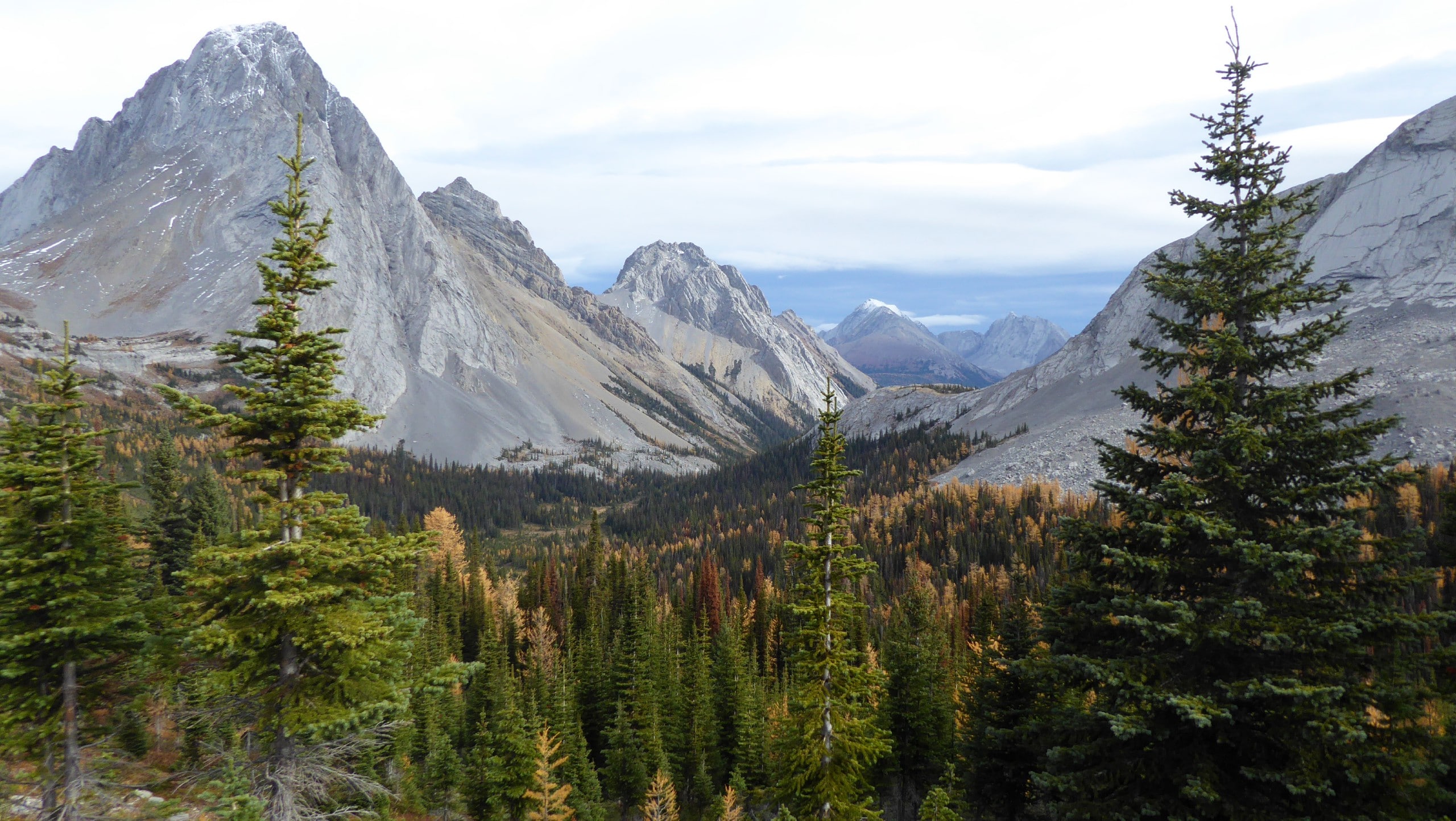
The hike to Burstall Pass is an iconic Canmore route for good reason – it's stunning! Although a great trail for intermediates, those with energy can scramble up Snow Peak for one of the best views in the Rockies. And in autumn, the sights of the larches are incredible!
Getting there
Take the Smith-Dorrien Trail (Highway 742) 26.1mi from the Canmore Nordic Centre. Turn right and park in the parking area beside Mud Lake on your right-hand side.

About
| When to do | June through October |
| Backcountry Campsites | No |
| Toilets | Trailhead |
| Family friendly | No |
| Route Signage | Average |
| Crowd Levels | Moderate |
| Route Type | Out and back |
Burstall Pass
Elevation Graph
Weather
Route Description for Burstall Pass
On foot from the parking lot, head up to Mud Lake and take the old logging road west (on the right-hand side). Do not follow the southbound road, as that goes to French Glacier.
The first few kilometers of this hike are on a wide, gently sloping trail that passes Burstall Lakes. This early section is ideal for easy biking or the use of an adventurous stroller. You’ll quickly notice how beautiful the forest is, and if hiking later in the summer or autumn, the larch trees will come alive with color. Midway through the forested ascent, there will be breaks in the trees allowing you to go down to the Burstall Lakes. Take advantage, enjoy a quick break and admire these stunning waters.
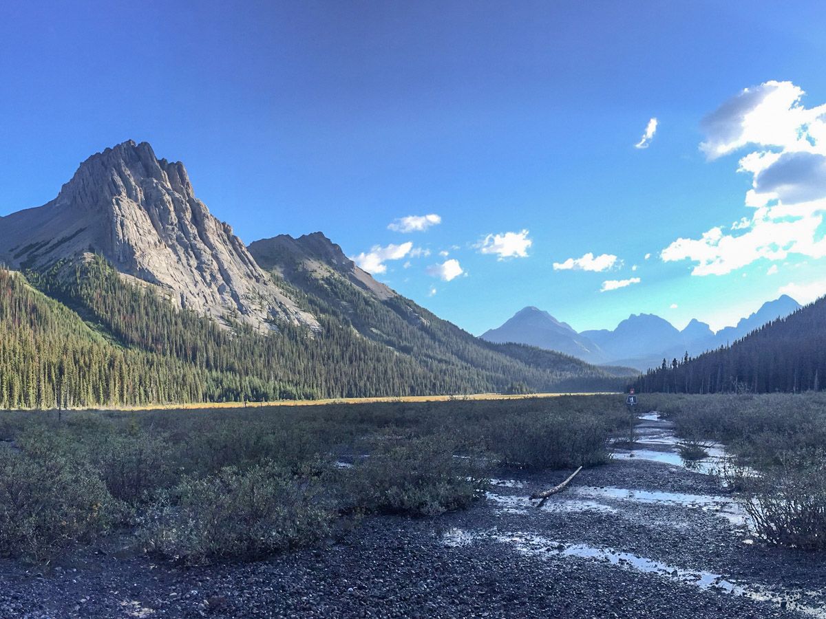
Just past the Burstall Lakes the logging road ends – with a bike rack to park your ride – and leads onwards to classic single-track hiking. After approximately four kilometers, you’ll enter the potentially marshy gravel flats. After crossing over Burstall Creek on a small bridge, your boots may need to come off to cross the many appendages of the stream. Especially in June and early July, the flats are exceptionally wet and muddy, and a spare set of water shoes is helpful.
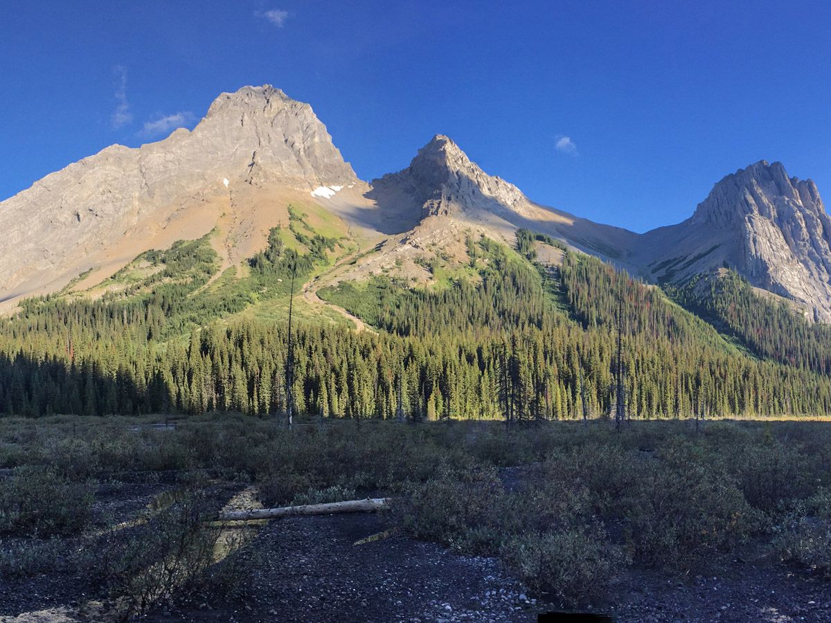
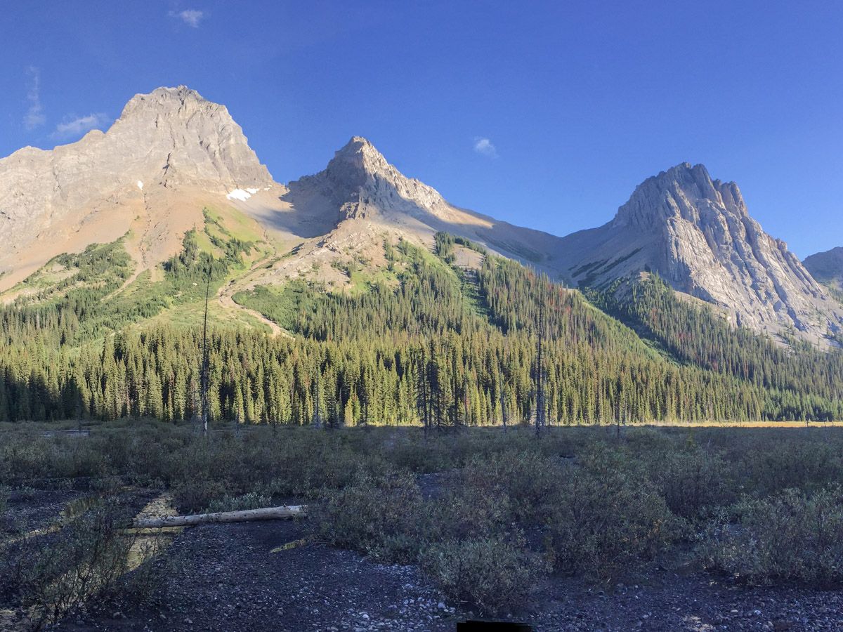
After another half a kilometer, the trail returns to the forest and continues to climb. The grade steadily increases from here, and at approximately five and a half kilometers you’ll again emerge into an alpine meadow. After hiking through wildflowers, the true ascent to the pass begins.
Take note that the flooding of 2013 damaged the old trail, and at times it’s hard to differentiate between the old and new trails. Some of the signs for the old trail still stand, which may increase the difficulty and confusion on the route.
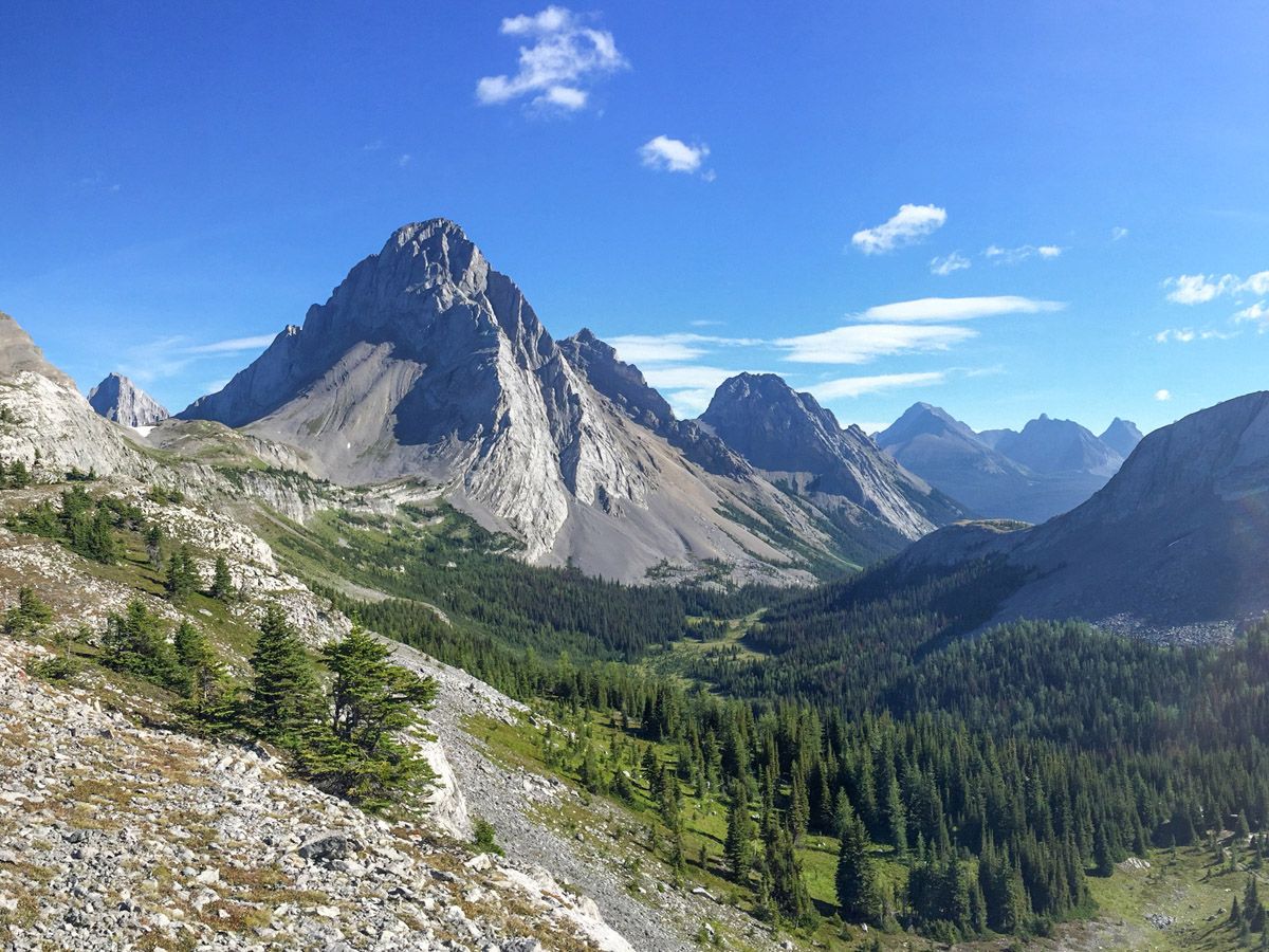
Once atop the pass, the trees really open up, and beautiful views down into Banff National Park and Mt. Assiniboine reward you for your trek. You can continue the hike briefly down the west side of the pass with little elevation loss – don’t worry the climbing is mostly done. This continuation yields several more vistas of Spray River Valley and Mt. Leman.
After taking a healthy break at the pass and doing a little exploring, return the way you came. The views are new and you should feel the reward of stunning beauty and tranquility the Canadian Rockies are famous for.
Check out other amazing hikes in Kananaskis – Smith Dorrien:
Insider Hints
Bring sandals to cross the cold streams of the marsh.
Try to bike the first half to save more time to relax and appreciate the view from the pass.
If feeling adventurous and have the relevant map and route description, try the scramble up Snow Peak. The route can be confusing, so don’t try this unless you are experienced and knowledgeable.

Similar hikes to the Burstall Pass hike
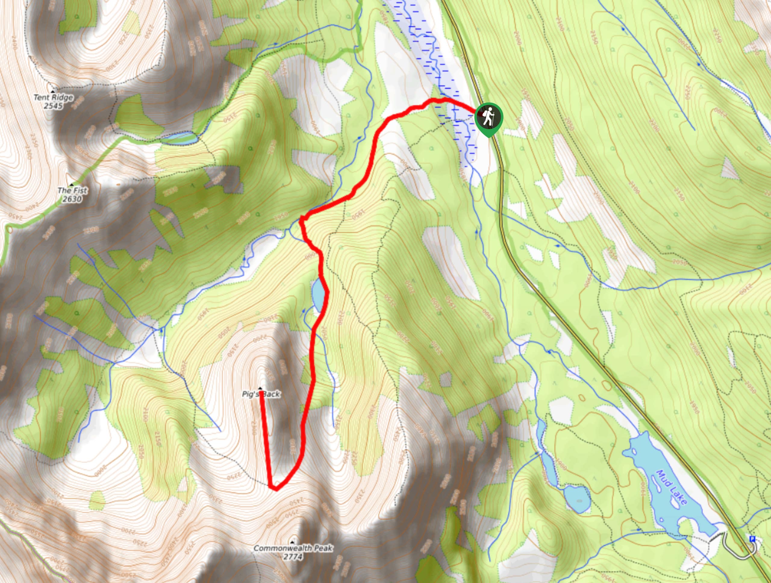
Pig’s Back Trail
The Pig’s Back is a route to a prominent feature along the Commonwealth Ridge Traverse. You will hike up Commonwealth…
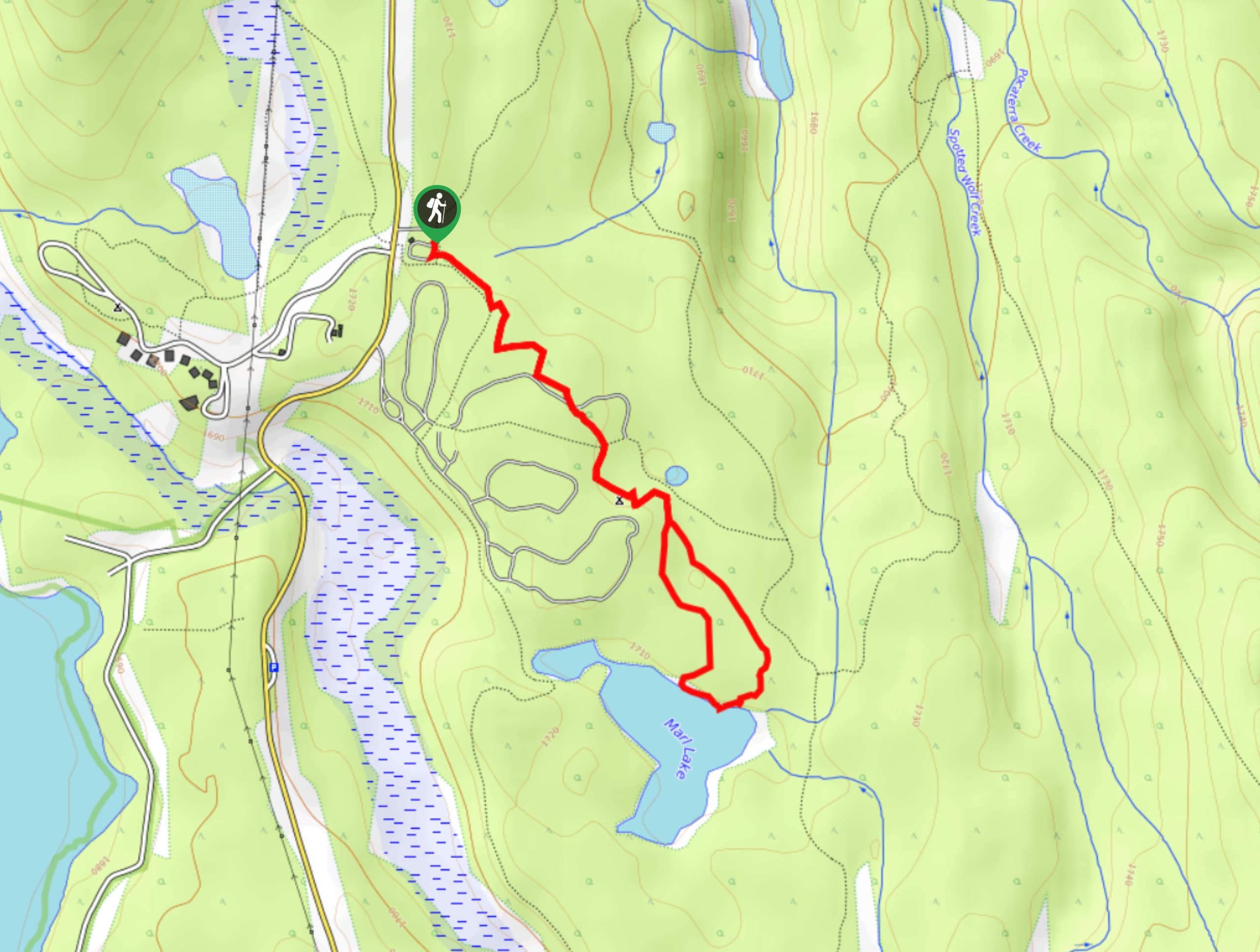
Marl Lake Trail
The Marl Lake trail is a moderately trafficked trail near Lower Kananaskis Lake that is accessible for all abilities. It…
Tryst Lake Trail
The trail to Tryst Lake is used year-round by many different types of adventurers. The summer trail is easy to…
ddelaloye 4 years ago
Great hike! We saw a lone mountain goat on the north ridge at the pass. Great view of Mount Assiniboine and Banff National Park once you reach the pass.
MartiniC 4 years ago
Fun-packed adventure! Be mindful enough not to feed the chipmunks and marmots because human food is not healthy for them.
oskareglq 4 years ago
For a moderate hike, the views are pretty impressive. We didn't encounter any trouble while doing the hike and we enjoyed a lot.
Theodore R. 4 years ago
The whole pass is just beautiful as it is. Perfect for sightseers and nature lovers!
SebClyde 4 years ago
It was an exciting hike! I wish to go back in autumn.
Paul D. 4 years ago
The first miles were merely easy, even though the trail was uneven. Everything gets better towards the top. The views at the summit were truly breathtaking. Worth the sweat.
Luna M. 4 years ago
This hike offer the most amazing views and instagram photo opportunities!
Jeremy R. 4 years ago
Awe-inspiring scenery. The route was stunning and you'll feel the positive energy of the mountain. Hiking with friends is really fun!
LyleM 4 years ago
Make sure to have proper gear. Prepare for the challenge and rewarded by spectacular views.
Rosemery Ash 4 years ago
The ascent was terrific! you'll find amazing views around every bend.