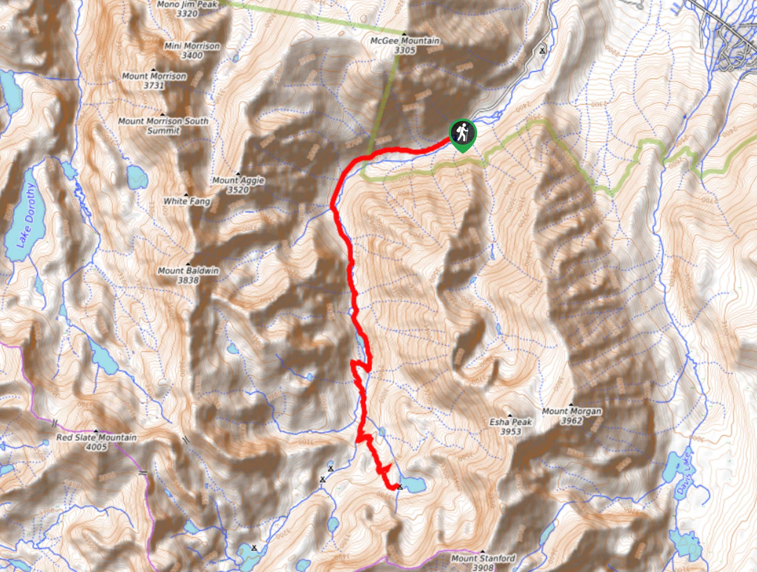
Steelhead Lake via McGee Pass Trail
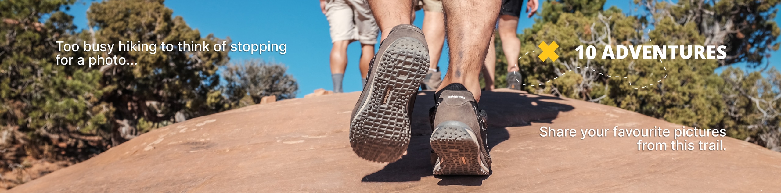
View Photos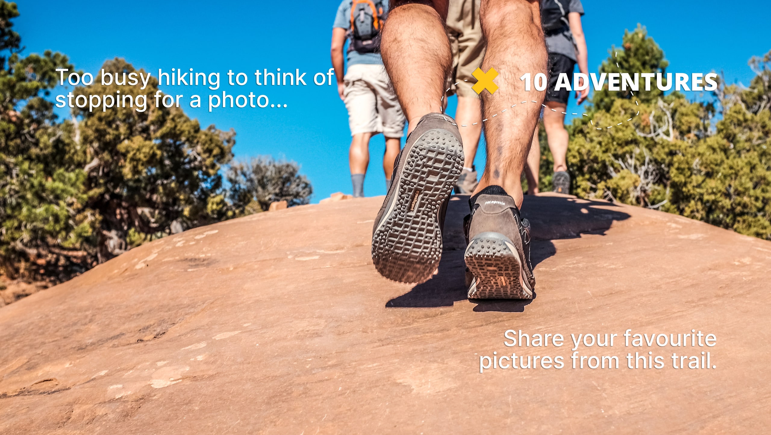
Steelhead Lake via McGee Pass Trail
Difficulty Rating:
Steelhead Lake cia McGee Pass Trail is a beautiful route within Inyo National Forest. A longer route with a fair amount of elevation incline, Steelhead Lake via McGee Pass Trail is ideal for more experienced hikers who are seeking a challenge.
Getting there
The Trailhead for Steelhead Lake via McGee Pass Trail is located at a parking lot off of McGee Creek Road.

About
| Backcountry Campground | |
| When to do | June-October |
| Pets allowed | Yes |
| Family friendly | No |
| Route Signage | Average |
| Crowd Levels | Low |
| Route Type | Out and back |
Steelhead Lake via McGee Pass Trail
Elevation Graph
Weather
Steelhead Lake via McGee Pass Trail Description
Steelhead Lake via McGee Pass Trail’s length and elevation incline make it a more challenging route than many found within Inyo National Park. The route is therefore likely not appropriate for those who do not consider themselves to be more experienced hikers. Likewise, in the springtime, large numbers of mosquitoes can be found along the route, and so it is recommended that you bring bug repellent.
Having arrived at the Trailhead, follow McGee Pack Station Trail as it makes its way west across terrain with a steady incline. The pathway will cross over several creeks before arriving at a junction within the trail. At the junction, take the western pathway onto McGee Pass Trail. Follow the route as it begins to veer to the south, crossing several more creeks as it goes.
Continue on along McGee Pass Trail as it heads south adjacent to McGee Creek. Having passed by a small lake on its eastern shore, the route will arrive at another junction. At this second junction, take the southernmost pathway onto Steelhead Lake Trail and follow it all the way to Steelhead Lake itself. Once you have had an opportunity to enjoy the sights found at the beautiful lake, simply backtrack your steps towards the trailhead.
Similar hikes to the Steelhead Lake via McGee Pass Trail hike

Valentine Lake Trail
An underrated route within Inyo National Forest, Valentine Lake Trail is without a doubt worth the effort! Boasting sublime scenery…

Lakes Basin Path to Pack Trail
A more challenging route within Inyo National Forest, Lakes Basin Path to Pack Trail is ideal for more experienced hikers…
Cottonwood Lakes and Army Pass Trail
Cottonwood Lakes and Army Pass Trail is a scenic route within the high alpine environment of the eastern Sierra Nevada…
Comments