

Cirque Lake via Cottonwood Lakes Trail
View Photos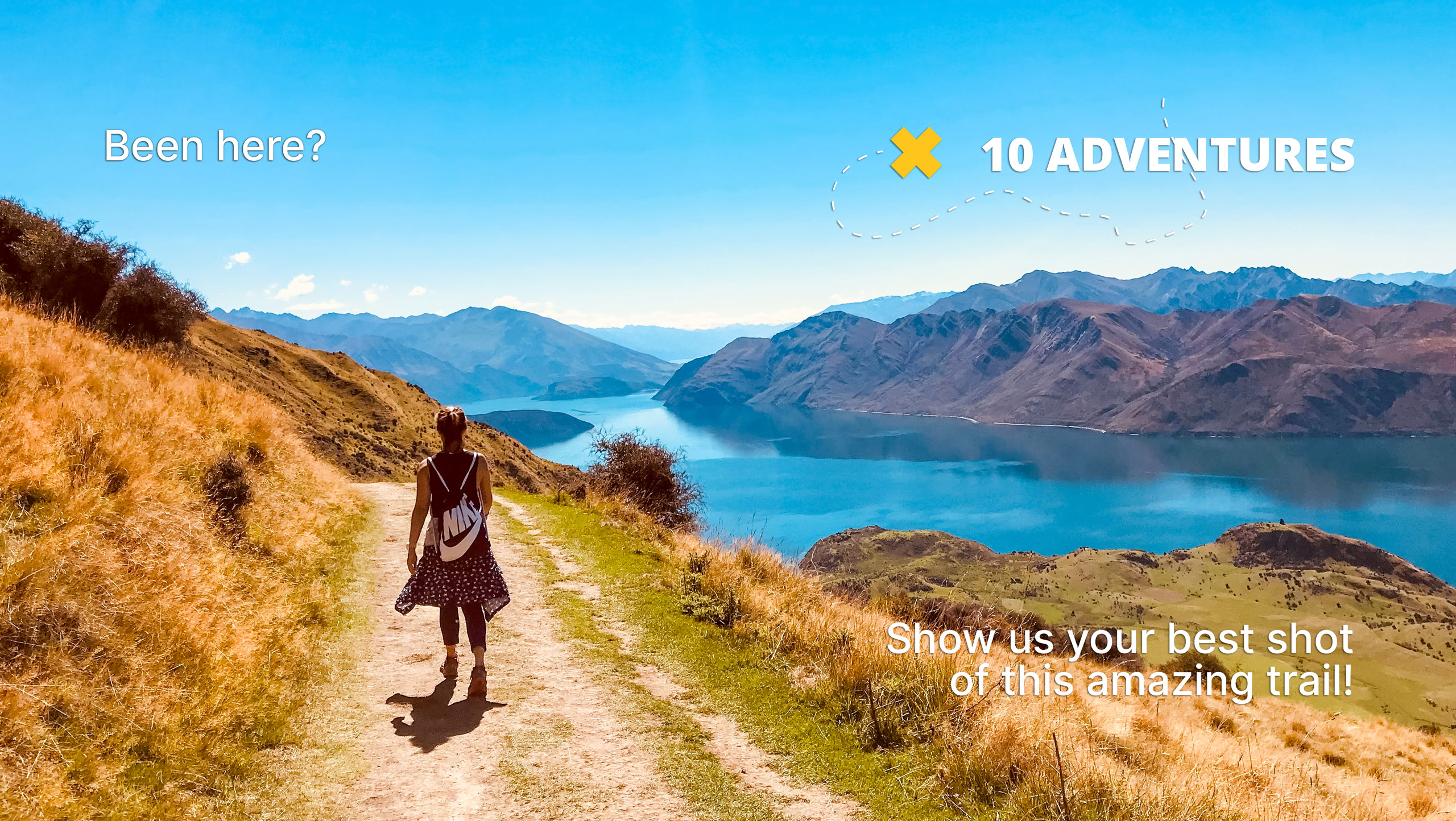
Cirque Lake via Cottonwood Lakes Trail
Difficulty Rating:
Cirque Lake via Cottonwood Lakes Trail is an incredible route within the eastern Sierra Nevada Mountain range. Bringing you alongside charming creeks, past beautiful lakes and throughout imposing mountains, the Cirque Lake via Cottonwood Lakes Trail is an excellent choice for your next hike within Inyo National Forest.
Getting there
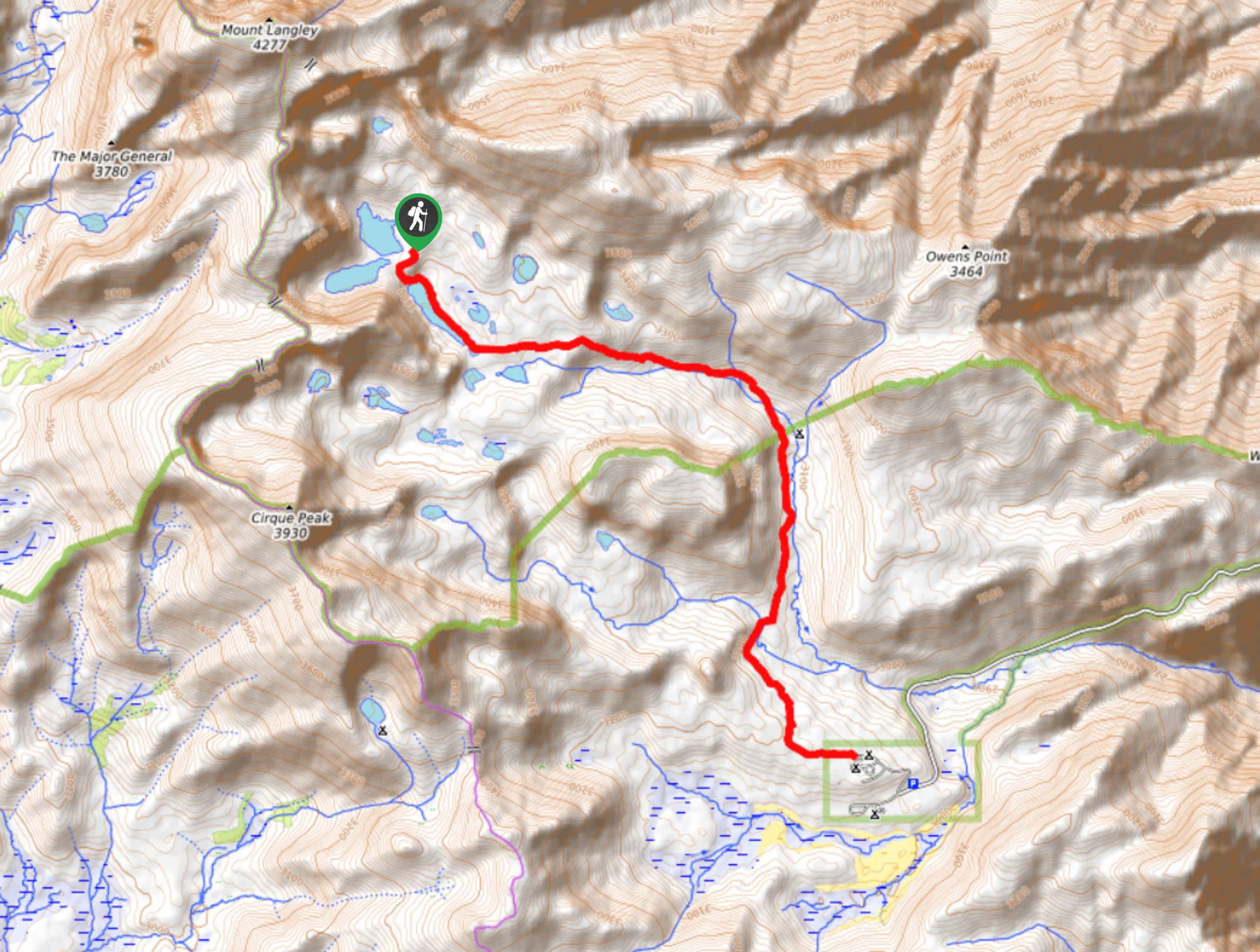
The trailhead for the Cirque Lake via Cottonwood Lakes Trail is located at the Cottonwood Lakes Trailhead Campground.

About
| Backcountry Campground | |
| When to do | April-September |
| Pets allowed | No |
| Family friendly | No |
| Route Signage | Average |
| Crowd Levels | Moderate |
| Route Type | Out and back |
Cirque Lake via Cottonwood Lakes Trail
Elevation Graph
Weather
Cirque Lake via Cottonwood Lakes Trail Description
Cirque Lake via Cottonwood Lakes is a fairly long route that possesses a notable amount of elevation incline throughout its duration. The trail is therefore likely not appropriate for children or those seeking a more casual hiking experience. Likewise, because the route is within the high alpine environment of the eastern Sierra Nevada Mountain range, it is important that you monitor yourself and your group members for the symptoms of altitude sickness.
Having parked your vehicle, follow the Cottonwood Lakes Trail as it heads west. After a few hundred feet, the trail will arrive at a junction. Continue on along the Cottonwood Lakes Trail by taking the western pathway. The route will begin to veer northwards before arriving at a second junction. At the second junction, continue on the Cottonwood Lakes Trail as it makes its way northwards alongside Cottonwood Creek.
With craggy terrain to your west, the route will continue to make its way adjacent to Cottonwood Creek as the creek itself veers westwards. The route will deliver you to a third junction, where you are to follow the western pathway onto New Army Pass Trail. The New Army Pass Trail will deverge southwards from Cottonwood creek, and arrive at another junction within the trail. Here, take the southern pathway onto Cirque Lake Trail and stay on the route through the upcoming junction as well. You will soon arrive at beautiful Cirque Lake, where you should take some time to rest and enjoy the views! Once you’re ready, simply backtrack your steps towards the trailhead.
Similar hikes to the Cirque Lake via Cottonwood Lakes Trail hike

Valentine Lake Trail
An underrated route within Inyo National Forest, Valentine Lake Trail is without a doubt worth the effort! Boasting sublime scenery…

Lakes Basin Path to Pack Trail
A more challenging route within Inyo National Forest, Lakes Basin Path to Pack Trail is ideal for more experienced hikers…
Cottonwood Lakes and Army Pass Trail
Cottonwood Lakes and Army Pass Trail is a scenic route within the high alpine environment of the eastern Sierra Nevada…
Comments