Yost Creek to Yost Lake Trail
View Photos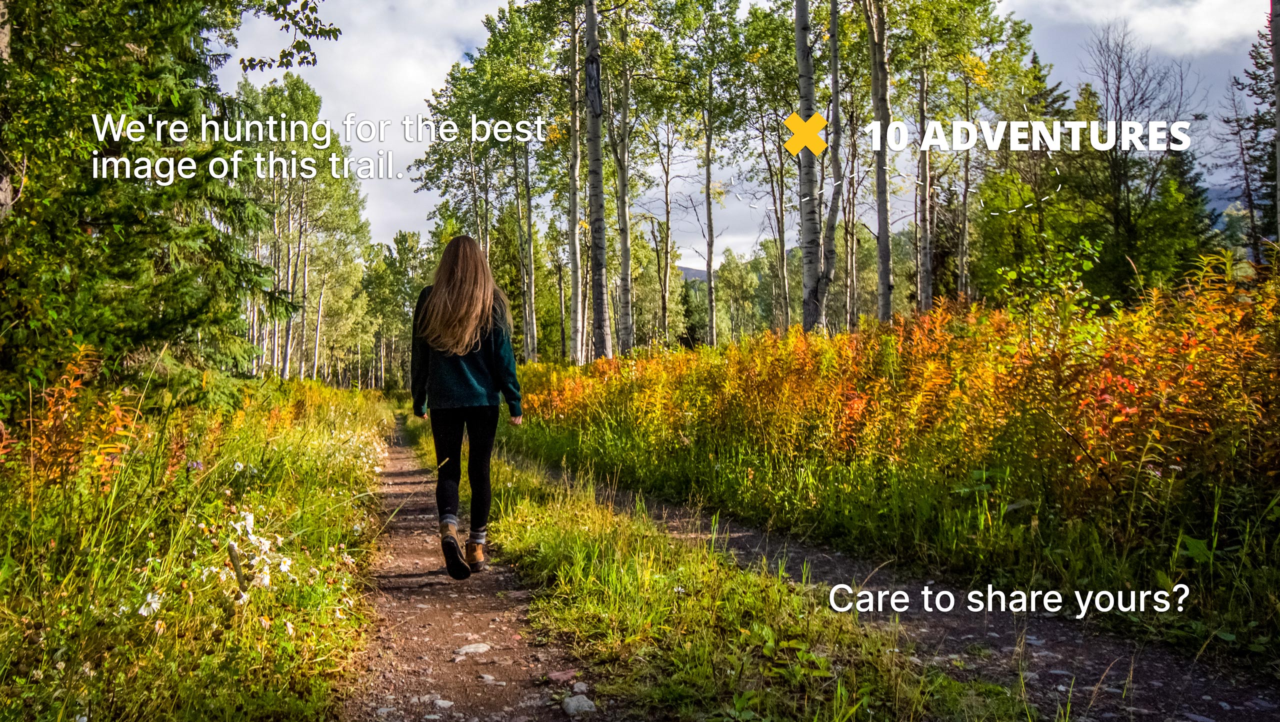
Yost Creek to Yost Lake Trail
Difficulty Rating:
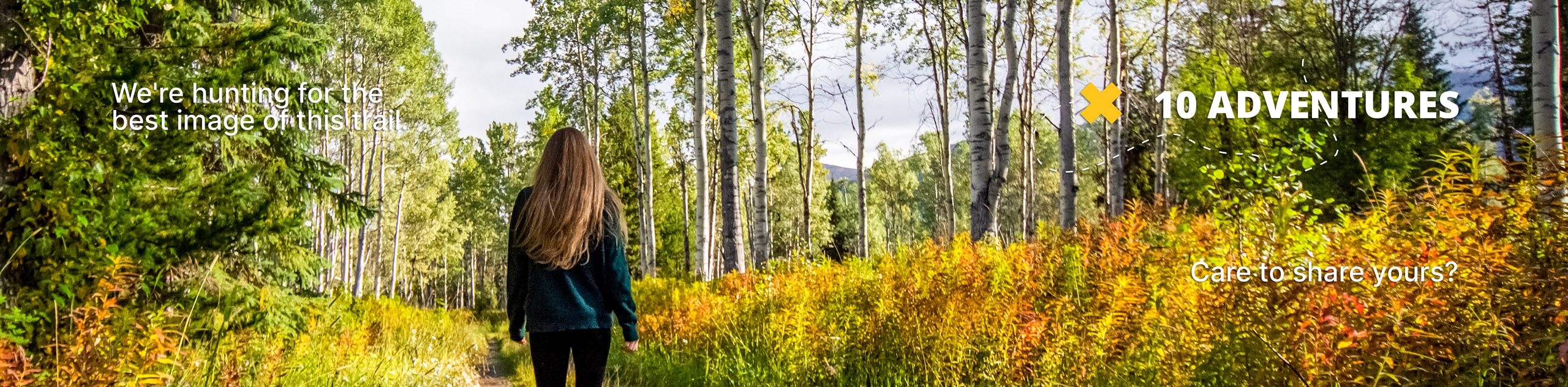
Yost Creek to Yost Lake Trail is a beautiful route within Inyo National Forest that is ideal for intermediate hikers and families with older children. Boasting great views of the surrounding Inyo National Forest landscape, the route takes you through a scenic forested section before delivering you charming Yost Lake.
Getting there
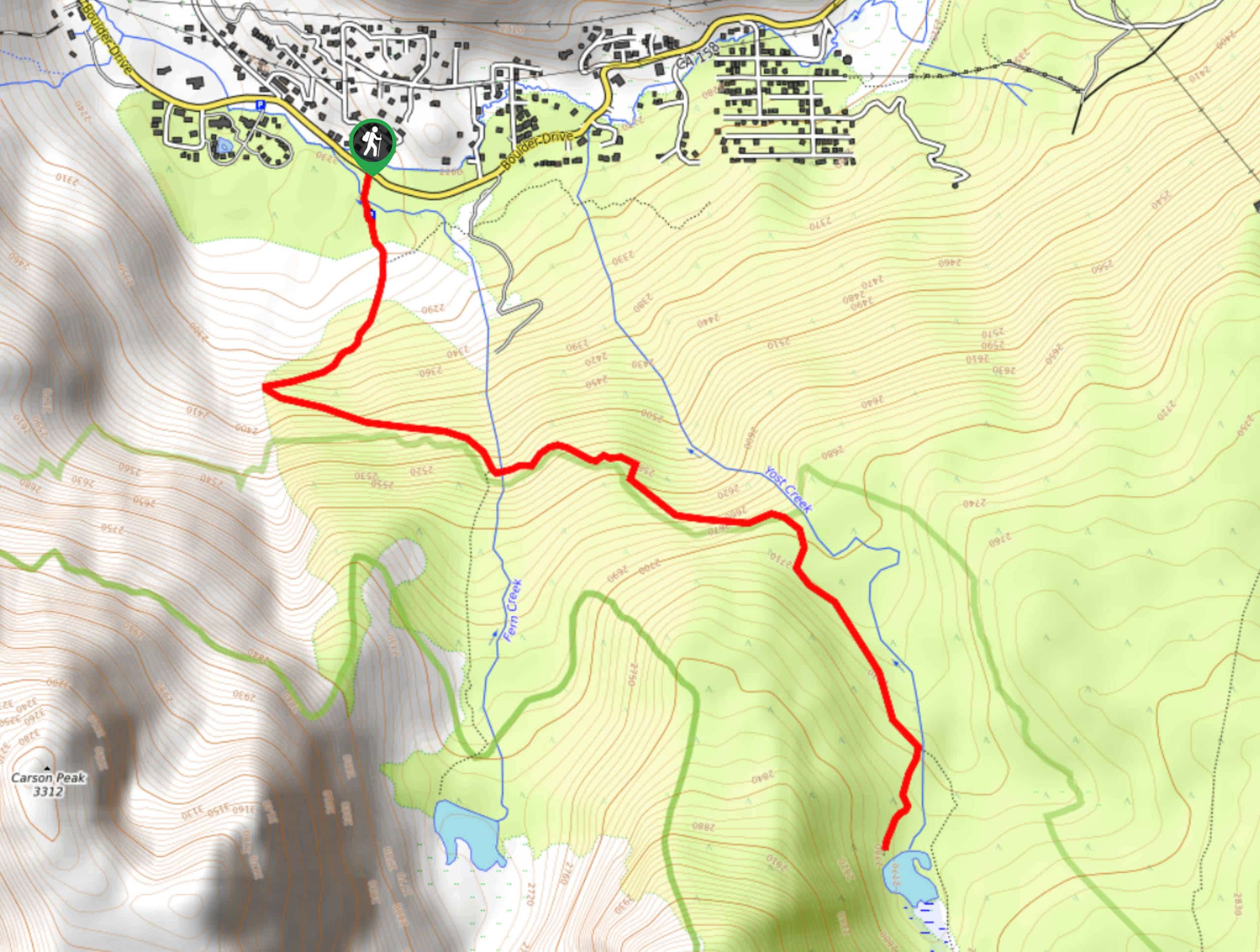
The trailhead for Yost Creek to Yost Lake Trail is located off Boulder Drive.

About
| Backcountry Campground | No |
| When to do | June-October |
| Pets allowed | Yes |
| Family friendly | Older Children only |
| Route Signage | Average |
| Crowd Levels | Moderate |
| Route Type | Out and back |
Yost Creek to Yost Lake Trail
Elevation Graph
Weather
Yost Creek to Yost Lake Trail Description
While not incredibly long in distance, the elevation incline along Yost Creek to Yost Lake Trail is significant. The route is therefore likely not appropriate for families with young children and those seeking a more casual hiking experience. The route is also within the high altitude of the eastern Sierra Nevada mountain range, therefore it is important that you monitor yourself and your group for the signs of altitude sickness.
With your vehicle parked, follow the Yost Creek Trail as it makes its way south. Almost immediately, you will reach a junction within the trail where you are to continue along Yost Creek Trail as it makes its way south. Here, the elevation will begin to incline more rapidly and the trail will veer sharply to the east. The route will once again arrive at a junction within the trail, where you are to follow Yost Creek Trail onto the eastern pathway.
After crossing a creek, the route will continue on its eastern heading, inclining in elevation as it goes. The trail will then plateau shortly before veering sharply to the south and arriving at charming Yost Lake. Take some time and enjoy the sightlines – you’ve earned it! Once you’re ready, simply backtrack your steps towards your waiting vehicle.
Similar hikes to the Yost Creek to Yost Lake Trail hike

Valentine Lake Trail
An underrated route within Inyo National Forest, Valentine Lake Trail is without a doubt worth the effort! Boasting sublime scenery…

Lakes Basin Path to Pack Trail
A more challenging route within Inyo National Forest, Lakes Basin Path to Pack Trail is ideal for more experienced hikers…

Mountain View and 3S89 Road Loop
Mountain View and 3S89 Road Loop is a delightful route within Inyo National Forest. Leading you through a lovely forested…
Comments