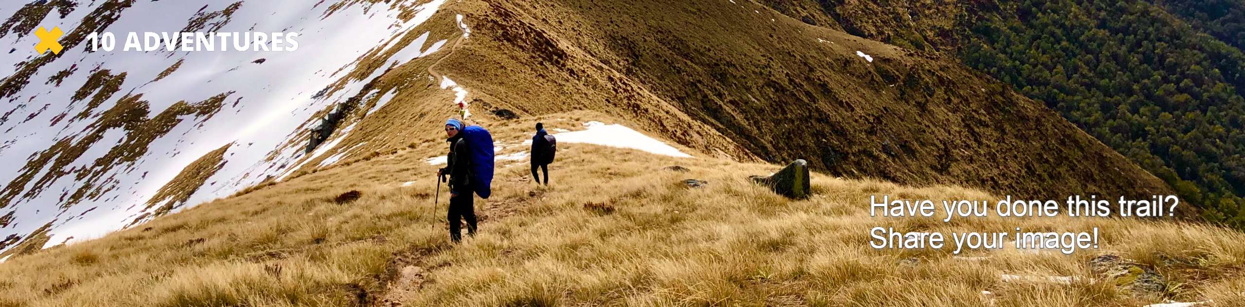
Silver Lakes Sierras Trail
View Photos
Silver Lakes Sierras Trail
Difficulty Rating:
The Silver Lakes Sierras Trail takes you alongside a number of tranquil lakes, all while offering amazing views of the surrounding Inyo National Forest landscape. The route can be done as either a long day hike or broken up into a backpacking trip.
Getting there
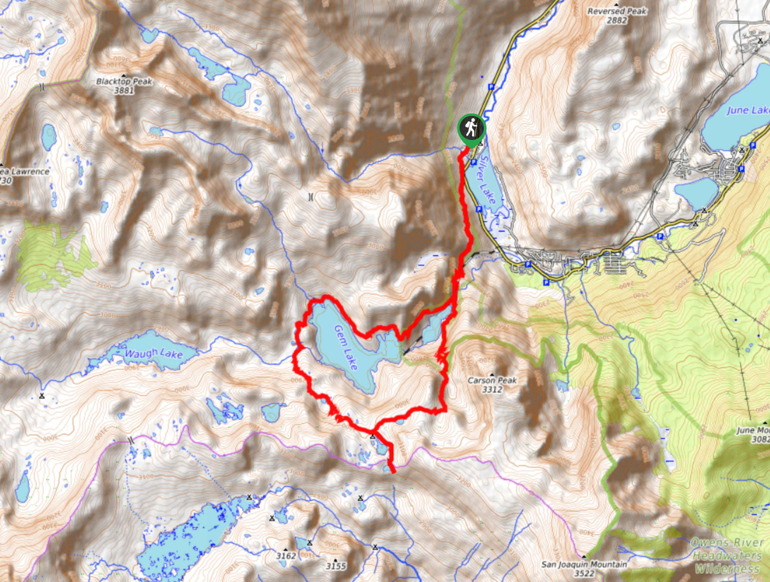
The trailhead for Silver Lakes Sierras Trail is located at Silver Lake Campground.

About
| Backcountry Campground | |
| When to do | April-September |
| Pets allowed | Yes - On Leash |
| Family friendly | No |
| Route Signage | Average |
| Crowd Levels | Moderate |
| Route Type | Lollipop |
Silver Lakes Sierras Trail
Elevation Graph
Weather
Silver Lakes Sierras Trail Description
The mosquitoes throughout Silver Lakes Sierras Trail can become rather prolific, and so it is important that you prepare yourself accordingly. We recommend bringing lots of bug repellent with you and wearing both long sleeves and pants if you are planning on doing the route in the springtime. Likewise, as the route is both long and possesses a fair amount of elevation incline, it is suggested that you wear a good pair of hiking boots.
With your vehicle parked, follow the Rush Creek Trail as it heads south along the western shore of Silver Lake. Continuing on its southern heading, the pathway will traverse a hillside, steadily increasing in elevation as it goes. Having crossed a creek, and made it up a short switchback section, the route will arrive at a junction in the trail. Take the western pathway and stay along it as it circumnavigates Agnew and Gem Lake. With both lakes circumnavigated, the route will deliver you back to the original junction, where all you need to do is backtrack your steps in order to get to the trailhead.
Similar hikes to the Silver Lakes Sierras Trail hike

Valentine Lake Trail
An underrated route within Inyo National Forest, Valentine Lake Trail is without a doubt worth the effort! Boasting sublime scenery…

Lakes Basin Path to Pack Trail
A more challenging route within Inyo National Forest, Lakes Basin Path to Pack Trail is ideal for more experienced hikers…
Cottonwood Lakes and Army Pass Trail
Cottonwood Lakes and Army Pass Trail is a scenic route within the high alpine environment of the eastern Sierra Nevada…
Comments