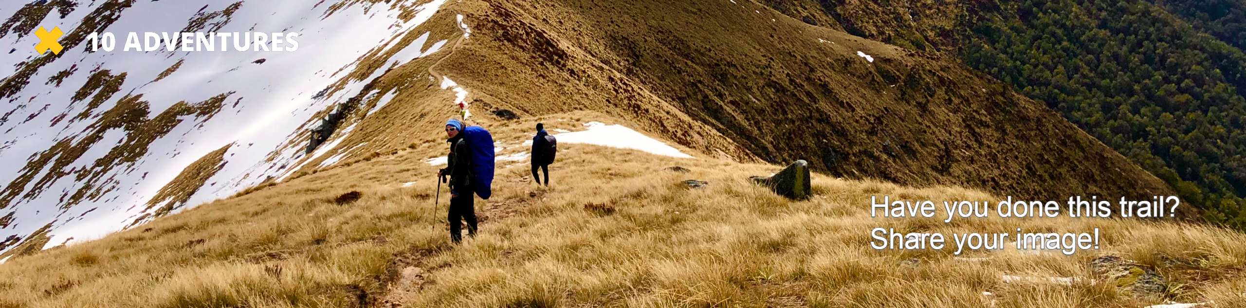
Hungry Packer Lake Trail
View Photos
Hungry Packer Lake Trail
Difficulty Rating:
The Hungry Packer Lake Trail is a lightly trafficked route within Inyo National Forest. The route can be done throughout one long day or can be broken up into a backpacking trail depending on what kind of experience you are looking for. Regardless of how you choose the route, the Hungry Packer Lake Trail offers incredible sightlines of the surrounding alpine environment.
Getting there
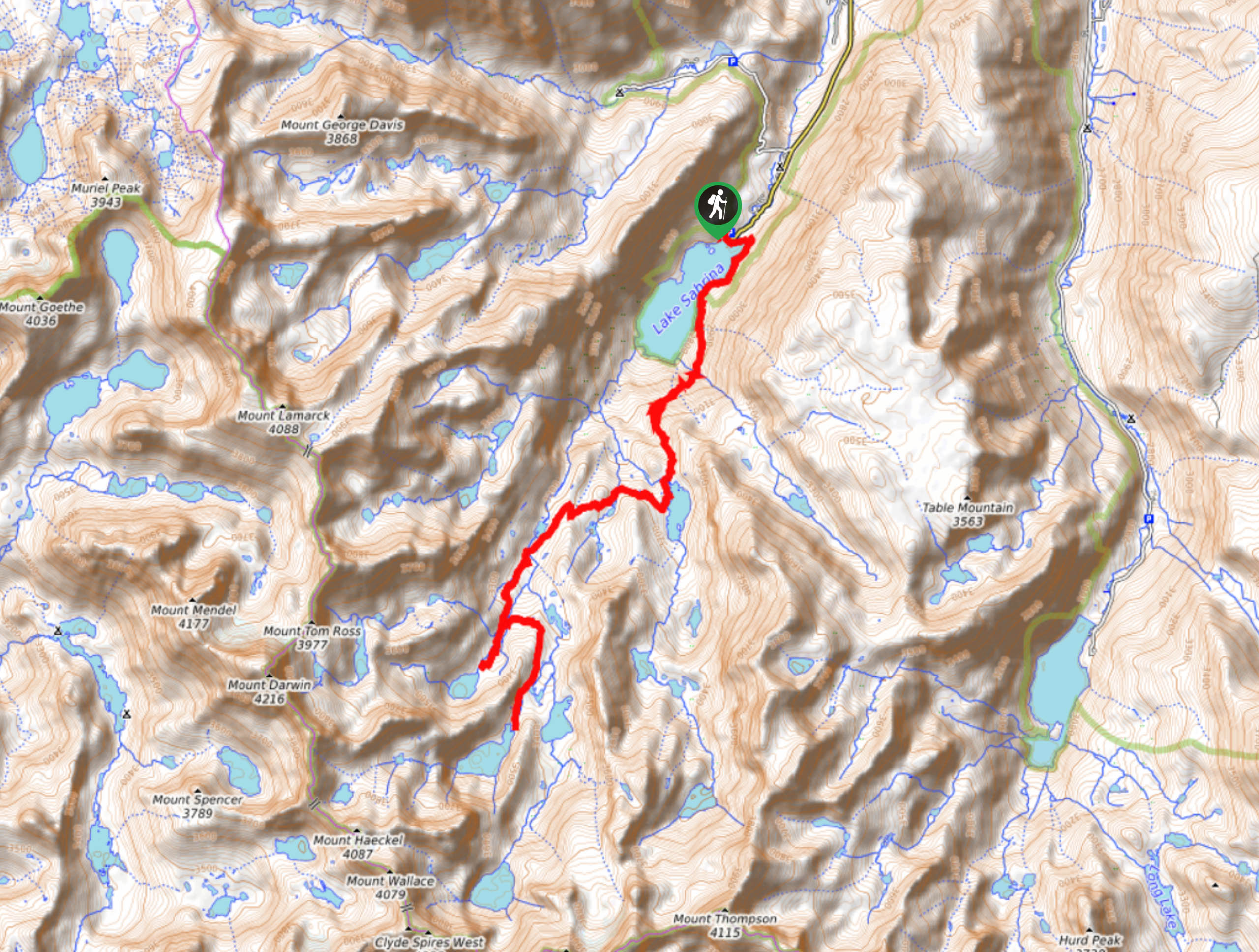
The trailhead for Hungry Packer Lake Trail is located off of Lake Sabrina Road.

About
| Backcountry Campground | |
| When to do | March-September |
| Pets allowed | No |
| Family friendly | No |
| Route Signage | Poor |
| Crowd Levels | Low |
| Route Type | Out and back |
Hungry Packer Lake Trail
Elevation Graph
Weather
Hungry Packer Lake Trail Description
Long in distance and with a fair amount of elevation incline, the Hungry Packer Lake Trail is likely not appropriate for those who do not consider themselves to be experienced hikers or families with children. As the route is in the high alpine environment of the eastern Sierra Nevada mountain range, altitude sickness is a potential hazard, and so it is suggested you acclimate yourself to the altitude slowly prior to attempting.
After parking your vehicle, locate the Sabrine Basin Trail and begin to follow it along the shoreline of Lake Sabrina. The Hungry Packer Lake Trail follows adjacent to the eastern shore of Lake Sabrina before crossing a creek and veering off from the shoreline to the east. The pathway will then reach a junction within the trail, where you are to take the westernmost route. The trail’s incline will begin to become more severe as the pathway tunes into a series of switchbacks.
With the switchbacks completed, the route will plateau shortly before reaching Blue Lake. Having passed Blue Lake, the trail veers to the west and will arrive at several junction points. At each of the next three junction points, ensure you are staying on the westernmost path, over terrain that is constantly inclinging. You will arrive at one last junction, where you can choose to go west towards Midnight Lake, east towards Hungry Packer Lake, or both. Take some time and explore these pristine alpine lakes before backtracking your steps towards your waiting vehicle.
Similar hikes to the Hungry Packer Lake Trail hike

Valentine Lake Trail
An underrated route within Inyo National Forest, Valentine Lake Trail is without a doubt worth the effort! Boasting sublime scenery…

Lakes Basin Path to Pack Trail
A more challenging route within Inyo National Forest, Lakes Basin Path to Pack Trail is ideal for more experienced hikers…
Cottonwood Lakes and Army Pass Trail
Cottonwood Lakes and Army Pass Trail is a scenic route within the high alpine environment of the eastern Sierra Nevada…
Comments