Lake George to Deer Lakes Trail
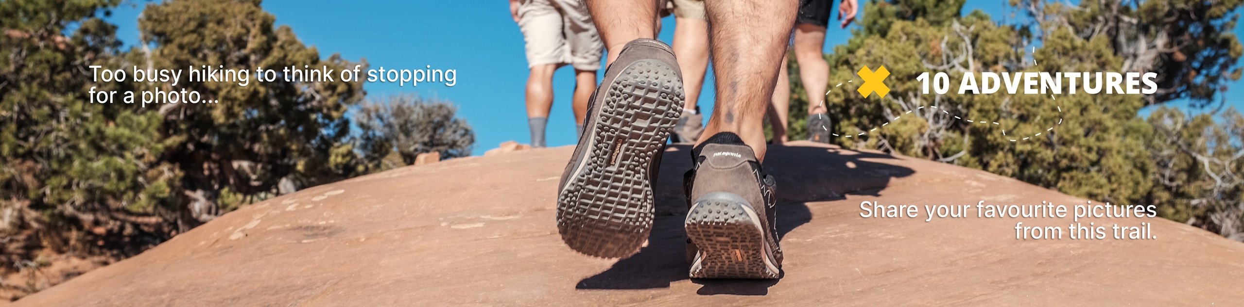
View Photos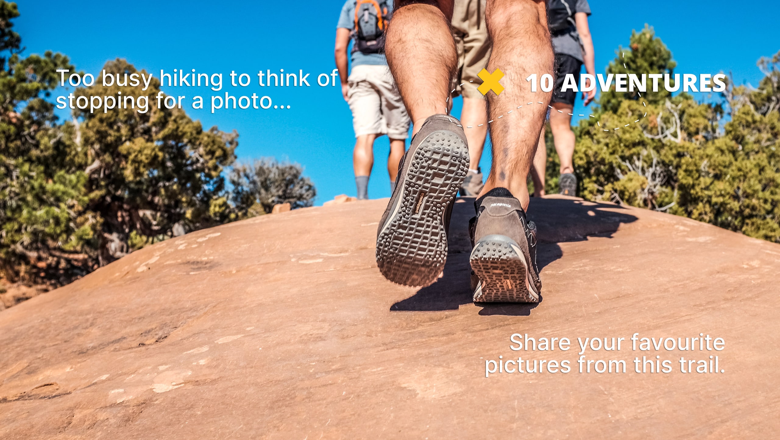
Lake George to Deer Lakes Trail
Difficulty Rating:
Lake George to Deer Lakes Trail is an easily accessible, yet fairly challenging route within Inyo National Forest. Taking you through the alpine environment of the eastern Sierra Nevada Mountain Range, the trail is both stunningly beautiful and considered to be an excellent route for wildlife viewing. The route can be completed as either a backpacking trip or throughout one long day.
Getting there
The trailhead for Lake George to Deer Lakes Trail is located off of Lake George Road.

About
| Backcountry Campground | |
| When to do | August-October |
| Pets allowed | No |
| Family friendly | No |
| Route Signage | Average |
| Crowd Levels | Moderate |
| Route Type | Out and back |
Lake George to Deer Lakes Trail
Elevation Graph
Weather
Lake George to Deer Lakes Trail Description
Lake George to Deer Lakes Trail’s elevation incline and length make it likely not appropriate for children, and those seeking a more casual hiking experience. In addition, it is recommended that you wear a good pair of hiking shoes as the terrain found along the route is demanding. Lastly – in the springtime especially – the mosquitoes can become rather prolific, so we strongly recommend bringing lots of bug repellent and wearing pants and long sleeves.
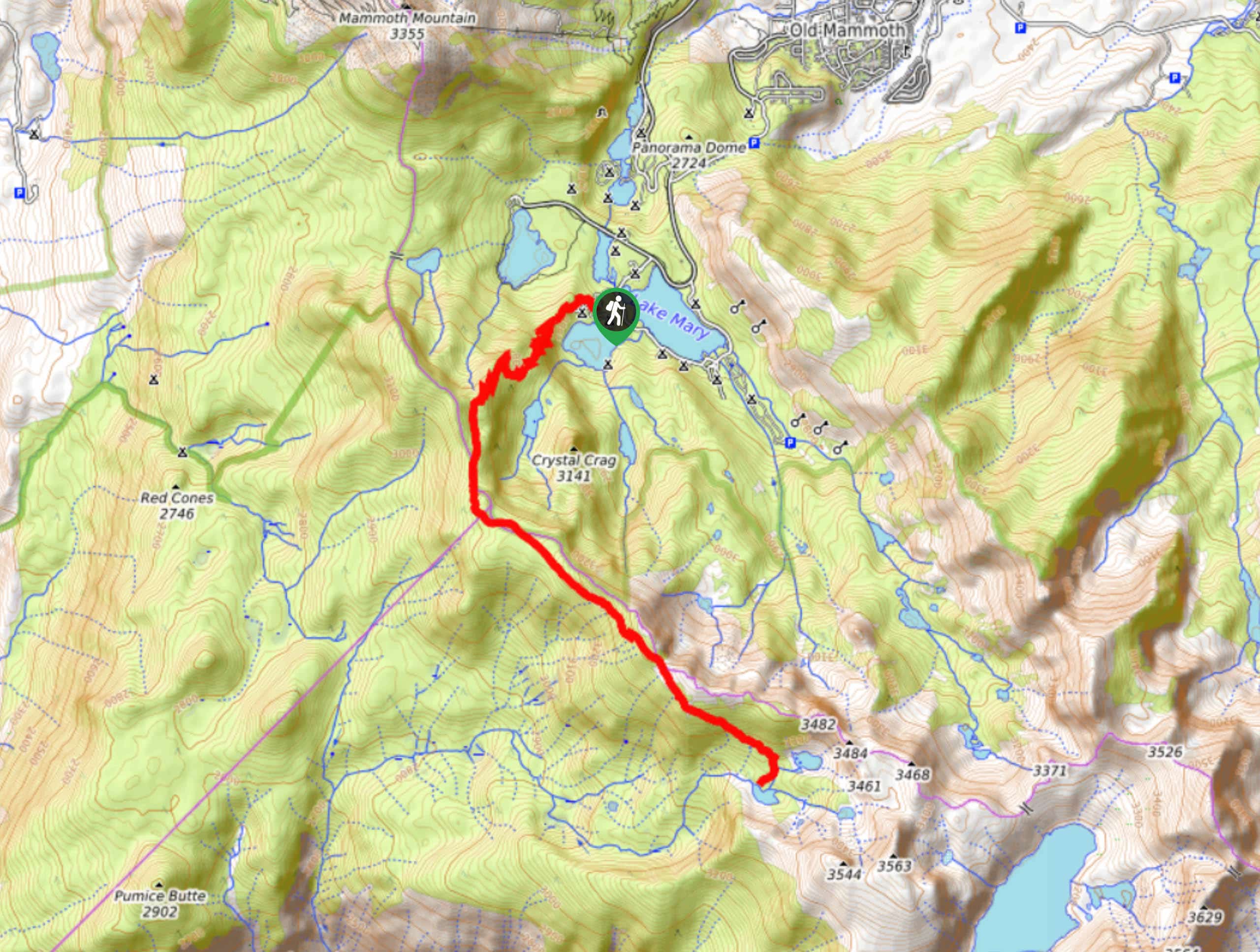
With your vehicle parked, locate the trailhead. Follow the pathway as it makes its way northwest before veering southwards adjacent to the western shore of Lake George. The Lake George to Deer Lakes Trail will then turn into a series of switchbacks as the terrain becomes rather steep. With the initial switchback section completed, you will arrive at a junction within the trail.
At the junction, follow the southern pathway as it takes you through another series of switchbacks and delivers you to a second junction within the trail. Having arrived at the second junction, follow the Mammoth Crest Trail as it makes its way southwards over relatively flat terrain. Continue southwest along the Mammoth Crest Trail as it leads you across a ridgeline. The elevation will soon begin to decline and you will arrive at the last junction within the trail. Here, follow Deer Creek Trail as it delivers you to Deer Lake itself. Take this opportunity to enjoy the sightlines before backtracking your steps towards the trailhead.
Similar hikes to the Lake George to Deer Lakes Trail hike

Valentine Lake Trail
An underrated route within Inyo National Forest, Valentine Lake Trail is without a doubt worth the effort! Boasting sublime scenery…

Lakes Basin Path to Pack Trail
A more challenging route within Inyo National Forest, Lakes Basin Path to Pack Trail is ideal for more experienced hikers…
Cottonwood Lakes and Army Pass Trail
Cottonwood Lakes and Army Pass Trail is a scenic route within the high alpine environment of the eastern Sierra Nevada…
Comments