
Honeymoon Lake Trail
View Photos
Honeymoon Lake Trail
Difficulty Rating:
A fairly long route with a notable amount of elevation incline, the Honeymoon Lake Trail is considered to be a difficult route within Inyo National Forest. The route can either be completed in one long day or can be broken up into a backpacking trip depending on what you are interested in doing.
Getting there
The trailhead for Honeymoon Lake Trail is located at a parking lot off of Pine Creek Road.

About
| Backcountry Campground | No |
| When to do | Reasonable start/end dates for route |
| Pets allowed | No |
| Family friendly | No |
| Route Signage | Average |
| Crowd Levels | Moderate |
| Route Type | Out and back |
Honeymoon Lake Trail
Elevation Graph
Weather
Honeymoon Lake Trail Description
The Honeymoon Lake Trail does not have much shade along its extent, so it is therefore important you protect yourself from the sun with a good hat and lots of sunscreen. Likewise, the route is over fairly steep terrain, so we suggest wearing a good pair of hiking boots. Your knees and ankles will be happy!
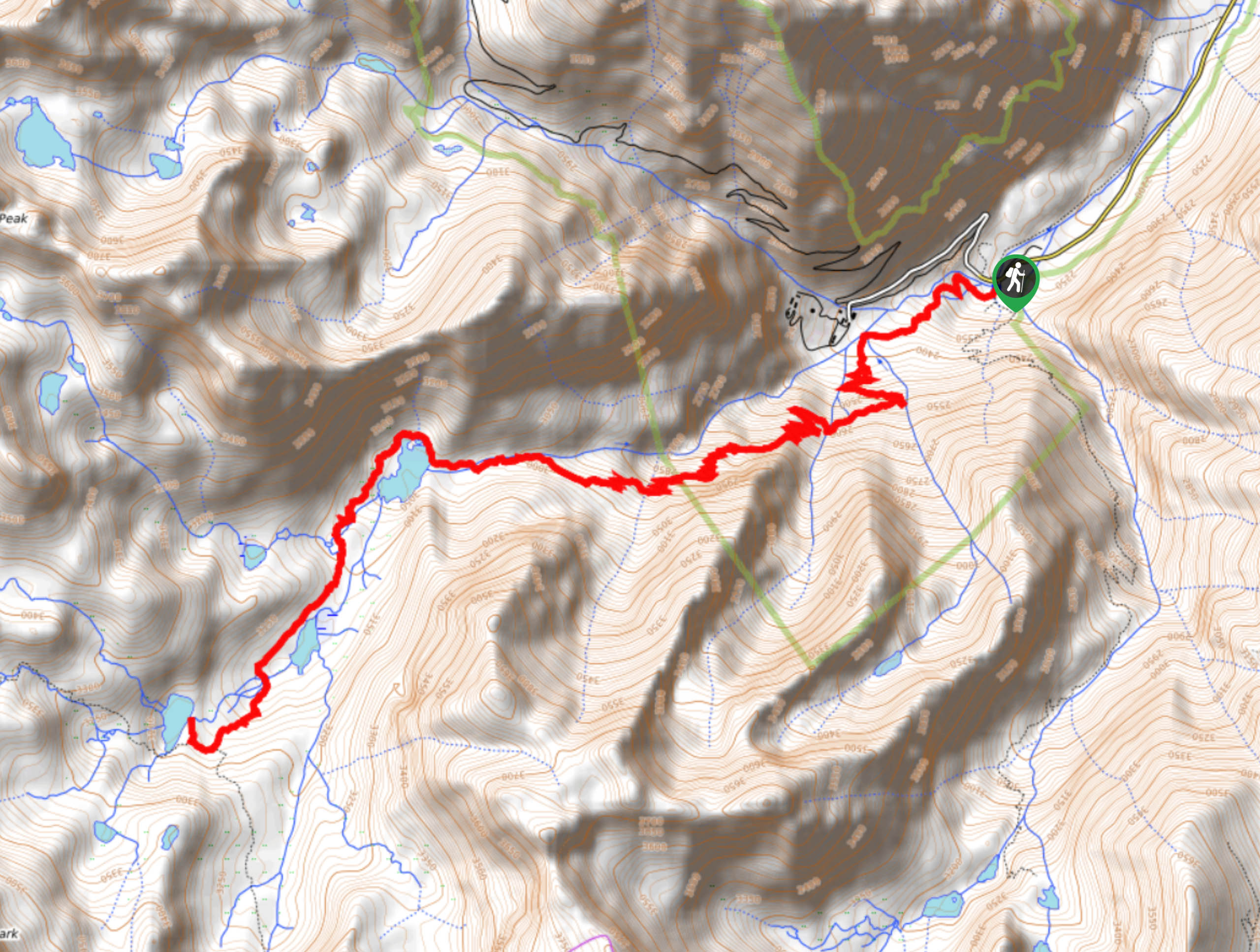
Having parked your car, locate the Trailhead at the southern section of the parking lot. Follow the Pine Creek Pass Trail as it makes its way southwest over steadily inclining terrain. After crossing a number of creeks, you will soon arrive at a switchback section within the trail. Continuing up along the switchbacks through increasingly steep terrain, you will eventually reach a plateau within the trail, and arrive at Pine Lake.
The trail will follow the northern, and then western shore of Pine lake before heading south and arriving at Upper Pine Lake. Having passed adjacent to the western shore of Upper Pine Lake, you will cross a series of creeks before reaching picturesque Honeymoon Lake. Take some time and enjoy the incredible sights before backtracking your steps towards the trailhead.
Similar hikes to the Honeymoon Lake Trail hike

Valentine Lake Trail
An underrated route within Inyo National Forest, Valentine Lake Trail is without a doubt worth the effort! Boasting sublime scenery…

Lakes Basin Path to Pack Trail
A more challenging route within Inyo National Forest, Lakes Basin Path to Pack Trail is ideal for more experienced hikers…
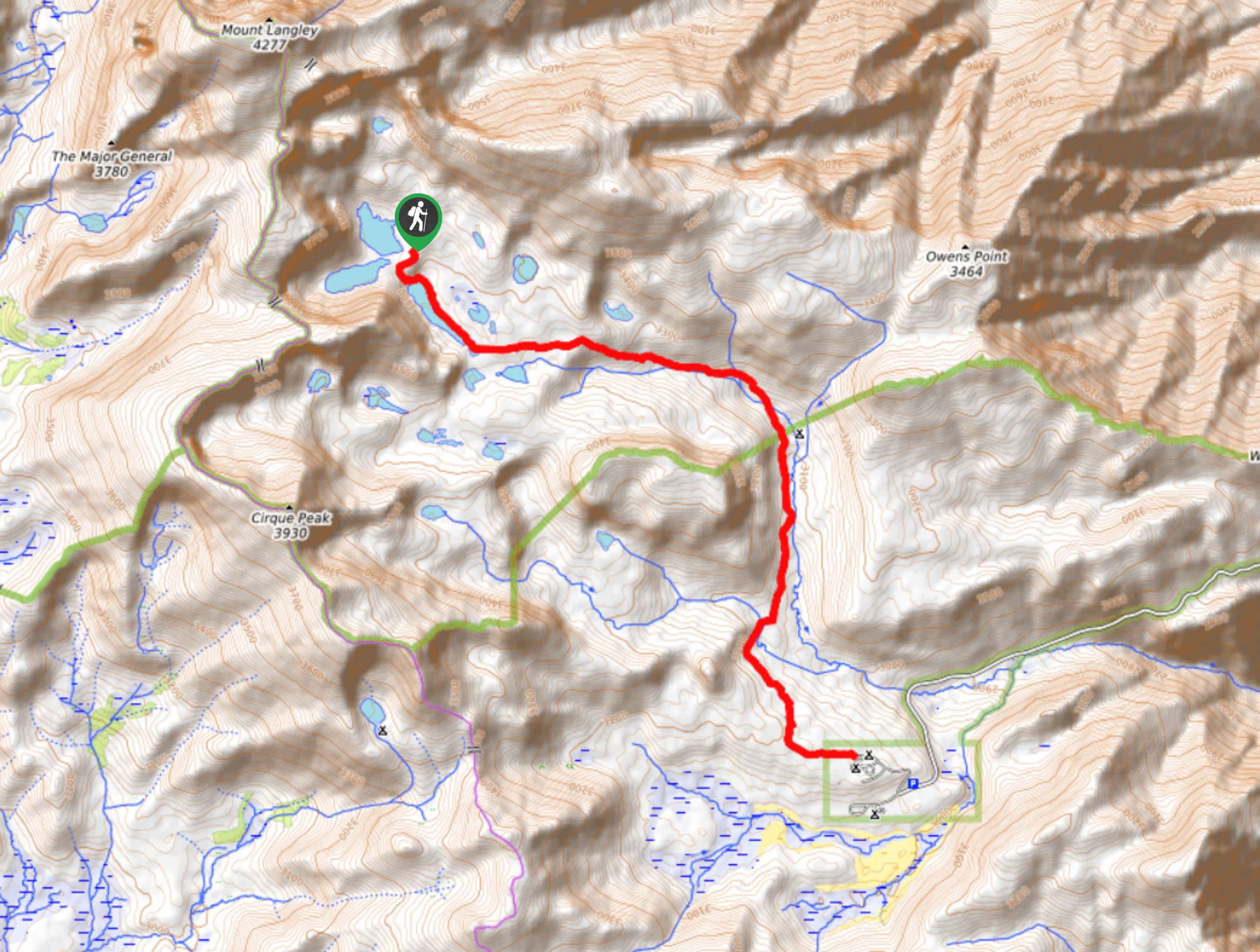
Cottonwood Lakes and Army Pass Trail
Cottonwood Lakes and Army Pass Trail is a scenic route within the high alpine environment of the eastern Sierra Nevada…
Comments