Mammoth Pass and McLeod Lake Trail
View Photos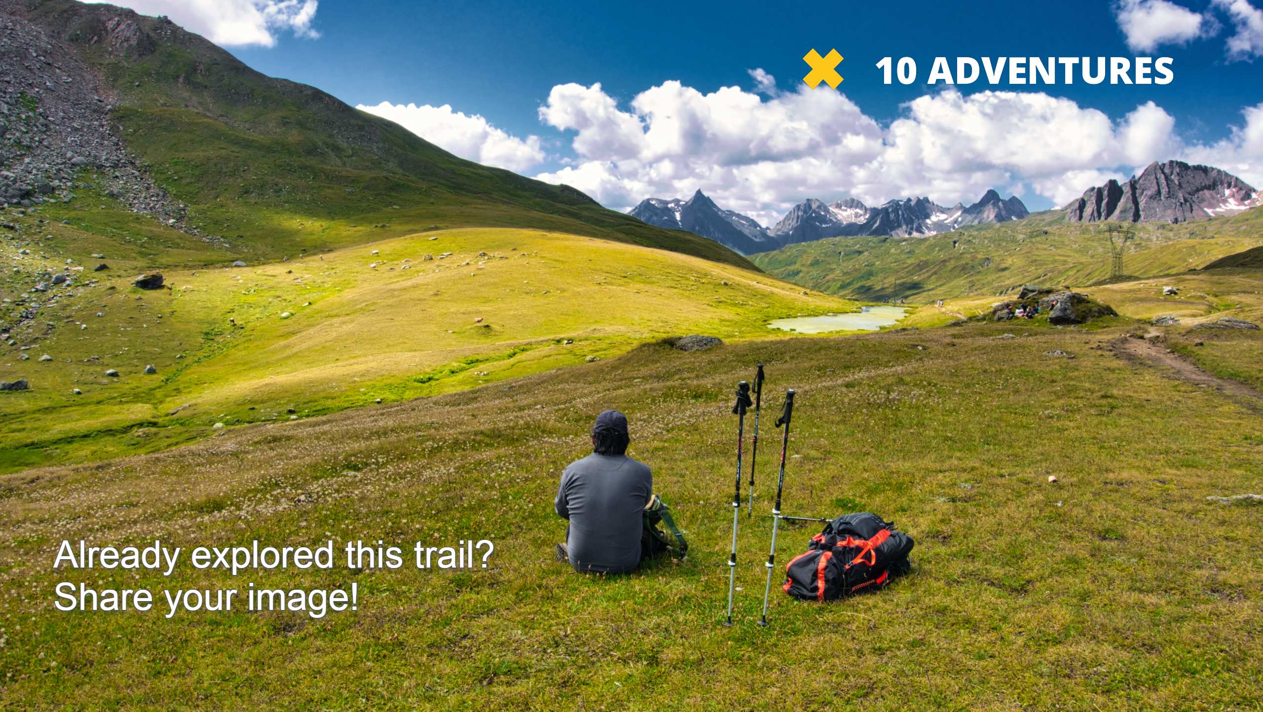
Mammoth Pass and McLeod Lake Trail
Difficulty Rating:
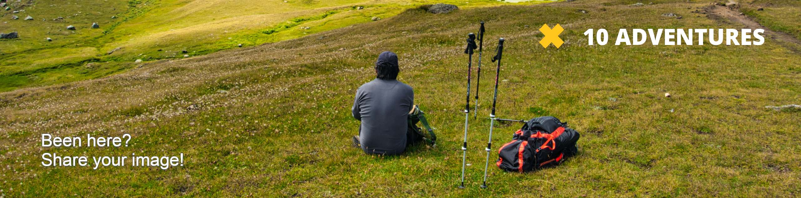
Mammoth Pass and McLeod Lake Trail is a beautiful route within Inyo National Forest. Traversing the scenic alpine environment of the eastern Sierra Nevada Mountain range, the trail offers incredible views and is regarded as an excellent place to view wildlife.
Getting there
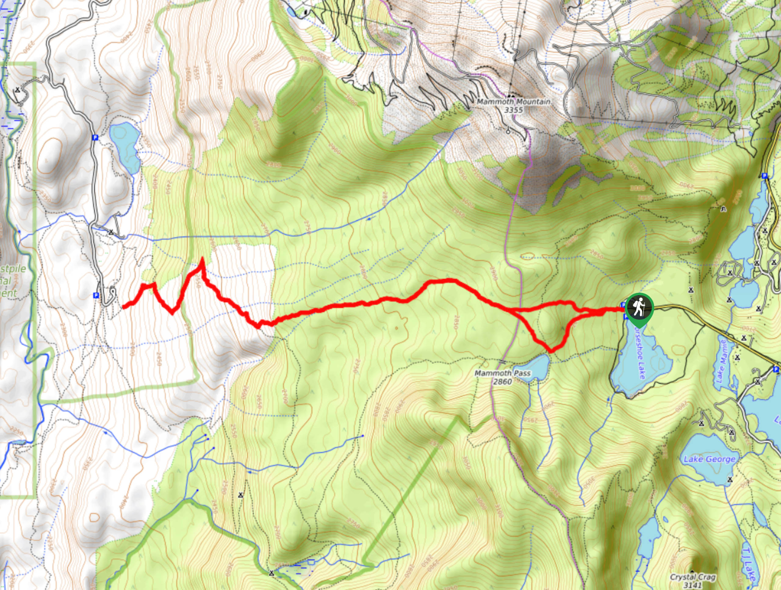
The trailhead for Mammoth Pass and McLeod Lake Trail is located at the Horseshoe Lake Parking Lot.

About
| Backcountry Campground | |
| When to do | May-October |
| Pets allowed | Yes |
| Family friendly | Older Children only |
| Route Signage | Average |
| Crowd Levels | Moderate |
| Route Type | Lollipop |
Mammoth Pass and McLeod Lake Trail
Elevation Graph
Weather
Mammoth Pass and McLeod Lake Trail Description
The Mammoth Pass and McLeod Lake Trail’s length and elevation incline make it likely not appropriate for families with young children and those seeking a more casual hiking experience. Likewise, sections of the route have little to no shade, and so we recommend wearing lots of sunscreen and a good hat to help protect you from the effects of the powerful alpine sun.
After leaving your vehicle at the Horseshoe Lake Parking Lot, follow Mammoth Pass Trail as it makes its way west. The terrain will continue to gradually incline as you reach a junction within the trail. At the junction, continue on Mammoth Pass Trail west as it plateaus shortly before delivering you to Boundary Creek.
The Mammoth Pass Trail will cross Boundary Creek before reaching another junction within the trail. Follow the northern pathway as it crosses two more creeks and arrives at a trail network near Rainbow Falls. When you’re ready, backtrack your steps towards the junction in which Mammoth Pass Trail and McLeod Lake Trail meet. Take the southern pathway onto McLeod Lake Trail, so you can go admire charming McLeod Lake before following the trail all the way back to the parking lot.
Similar hikes to the Mammoth Pass and McLeod Lake Trail hike

Valentine Lake Trail
An underrated route within Inyo National Forest, Valentine Lake Trail is without a doubt worth the effort! Boasting sublime scenery…

Lakes Basin Path to Pack Trail
A more challenging route within Inyo National Forest, Lakes Basin Path to Pack Trail is ideal for more experienced hikers…

Mountain View and 3S89 Road Loop
Mountain View and 3S89 Road Loop is a delightful route within Inyo National Forest. Leading you through a lovely forested…
Comments