
June Lake Trail
View Photos
June Lake Trail
Difficulty Rating:
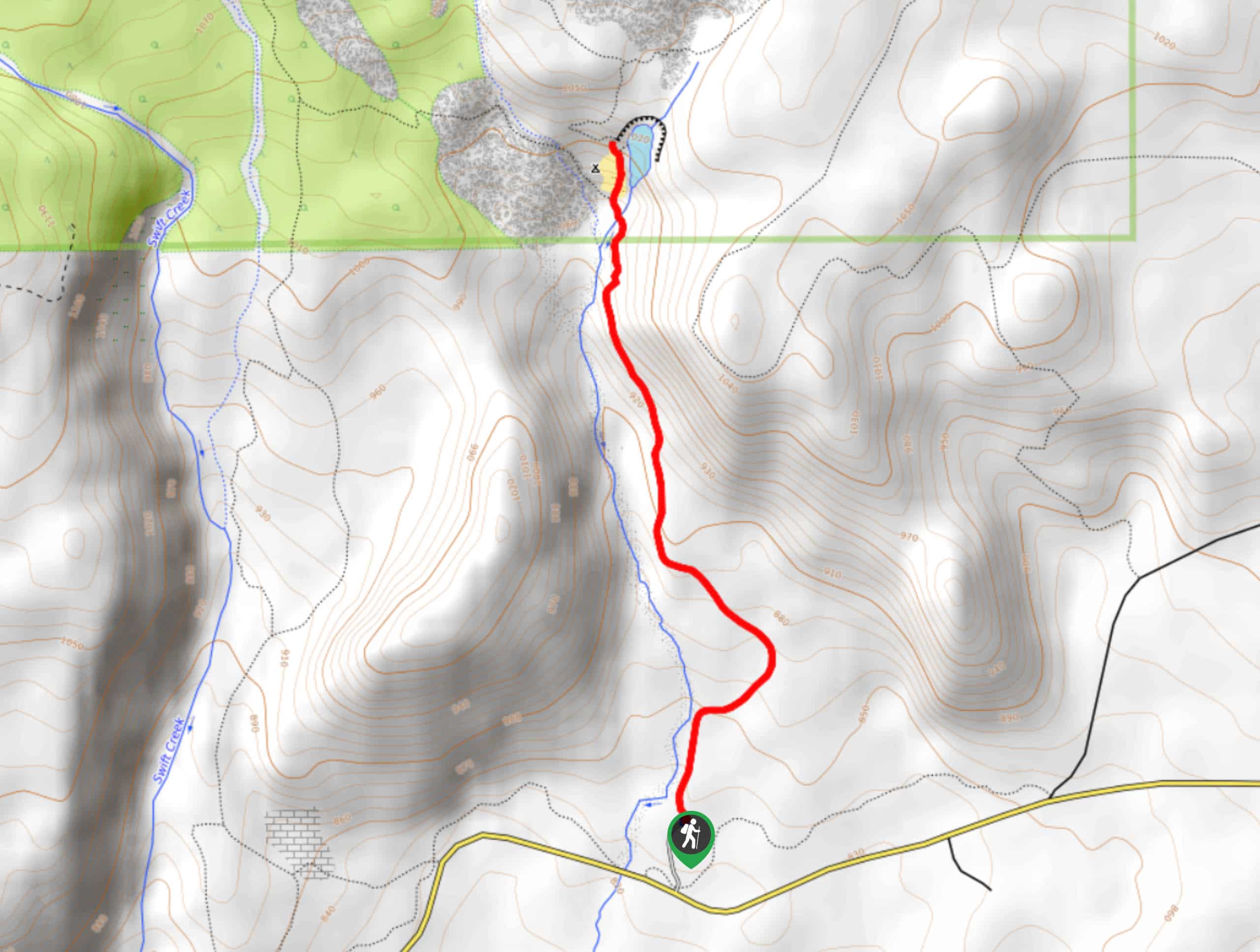
June Lake Trail is a 25.0mi easy hike in Gifford Pinchot National Forest that is suitable for all skill levels. This trail leads you to pretty June Lake, with a waterfall cascading behind it. It’s a scenic spot that doesn’t require much effort to reach. This trail also has a nice view of Mount Saint Helens.
Getting there
The trailhead for the June Lake Trail is at the end of June Lake Trailhead Road.

About
| Backcountry Campground | No |
| When to do | May-October |
| Pets allowed | Yes - On Leash |
| Family friendly | Yes |
| Route Signage | Average |
| Crowd Levels | High |
| Route Type | Out and back |
June Lake Trail
Elevation Graph
Weather
June Lake Trail Description
June Lake Trail is a delightful jaunt for all ages, leading you through a green forest to a pretty lake with a waterfall behind it. This trail also has a good view of Mount Saint Helens. You can use this trail to continue to Chocolate Falls a bit further up if you’d like.
The hike begins from the parking lot. Head north on the signed trail. The trail climbs quite gradually, meandering through the trees to the lake. You’ll cross the creek just before reaching June Lake. Snap some photos of the lake and falls before heading back.
If you want to continue to Chocolate Falls, take Loowit Trail past the lake. Otherwise, retrace your steps to the parking lot.
Similar hikes to the June Lake Trail hike

Ptarmigan Trail
Ptarmigan Trail is a 4.2mi moderate trail near the base of Mount Saint Helens. This trail is suitable…

Silver Creek Trail
Silver Creek Trail is a moderate hike in the Gifford Pinchot National Forest that is suitable for most skill levels.…
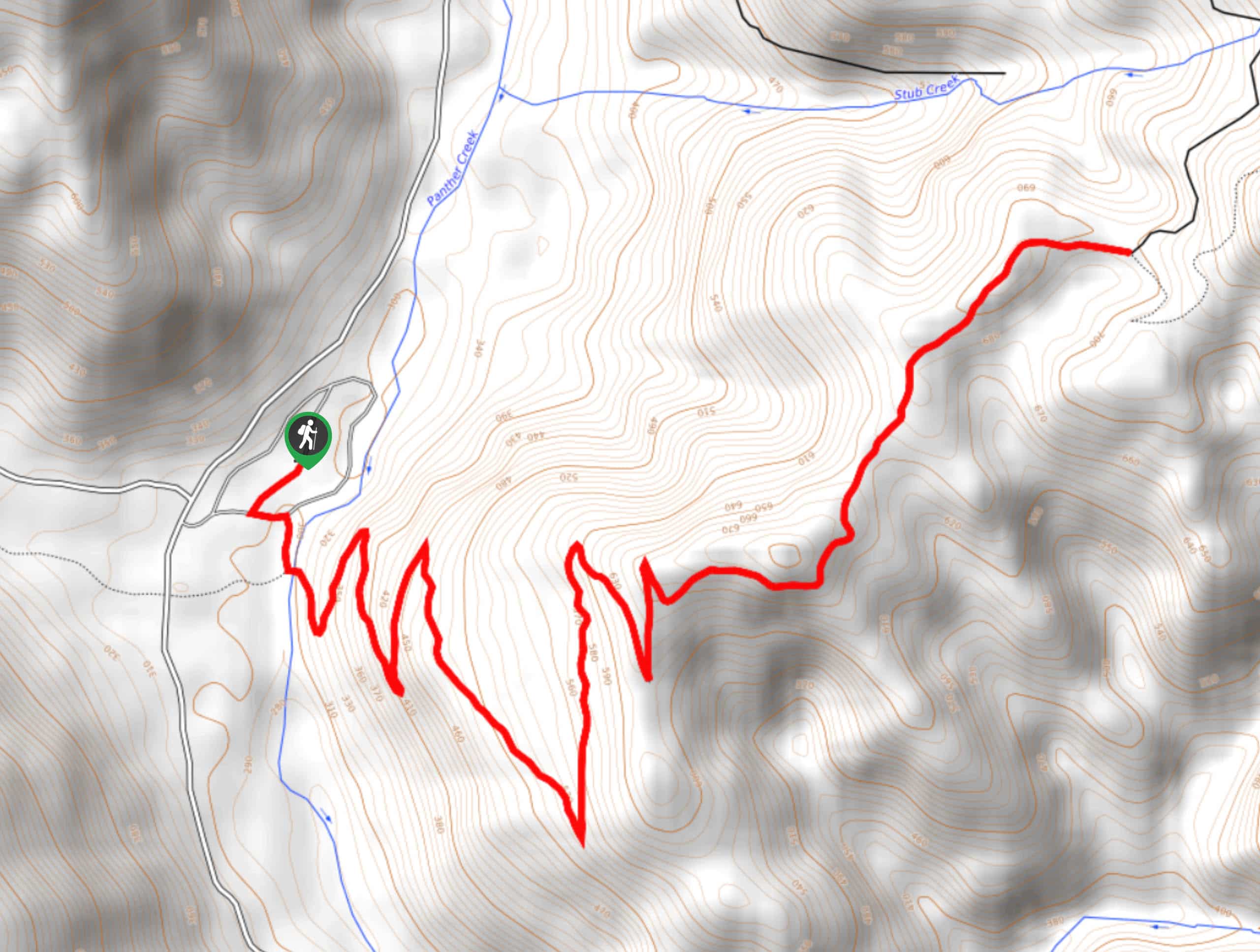
Pacific Crest Trail from Panther Creek
This route guide takes you from Panther Creek Campground to the Pacific Crest Trail, offering an easy connector for those…
Comments