
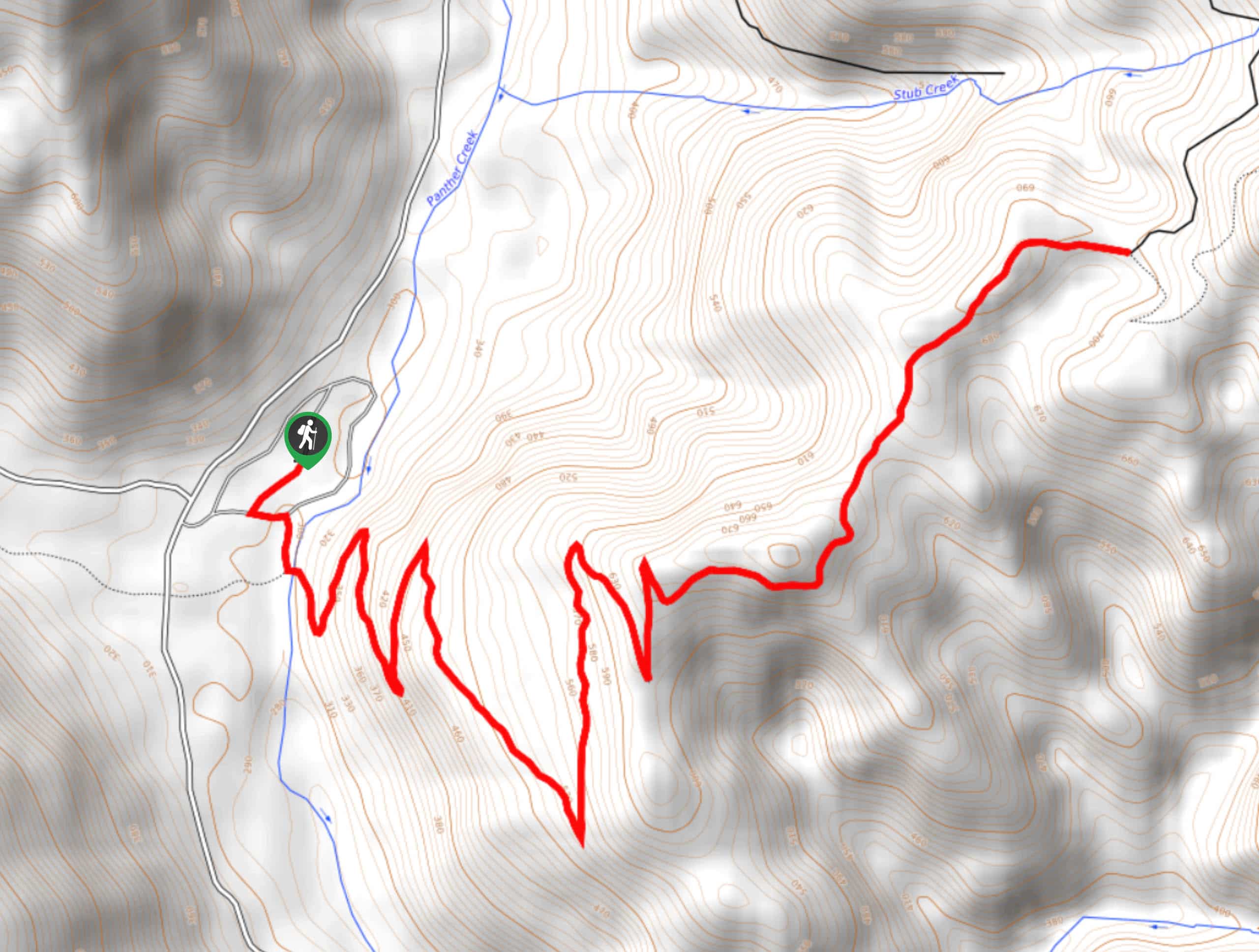
Cathedral Falls Hike
View Photos
Cathedral Falls Hike
Difficulty Rating:
Cathedral Falls is a fun destination for a weekend family hike. The trail to reach the falls is easy-moderate at 4.1mi long with mild elevation gain. The falls are best viewed in the spring or early summer, and you might not get much more than a trickle late into the summer or early in the fall.
The hike is kid-friendly, though small children may need a hand on a few narrow sections and creek crossings. Expect moderate traffic on this route.
Getting there
The trailhead for the Cathedral Falls hike is off Forest Road 2750.

About
| Backcountry Campground | No |
| When to do | March-October |
| Pets allowed | Yes - On Leash |
| Family friendly | Yes |
| Route Signage | Average |
| Crowd Levels | Moderate |
| Route Type | Out and back |
Cathedral Falls Hike
Elevation Graph
Weather
Cathedral Falls Hike Description
Cathedral Falls is a hidden gem, and this hike is short enough and easy enough for most to complete. You’ll hike through a lush forest to the falls, which are at their best in the spring when the water flow is strongest.
There are a few creek crossings and narrow sections on this hike that may be more challenging for smaller children. If you want easier creek crossings, try hiking this trail in the mid-summer. Bring poles if you have them for a bit of added stability.
Begin from the trailhead, following Goat Creek Trail. It’s fairly smooth sailing as you cross two small creeks and hike up above Goat Creek. Where Goat Creek Trail splits, you’ll reach the falls. Enjoy the view before heading back, retracing your steps to the trailhead.
Similar hikes to the Cathedral Falls Hike hike

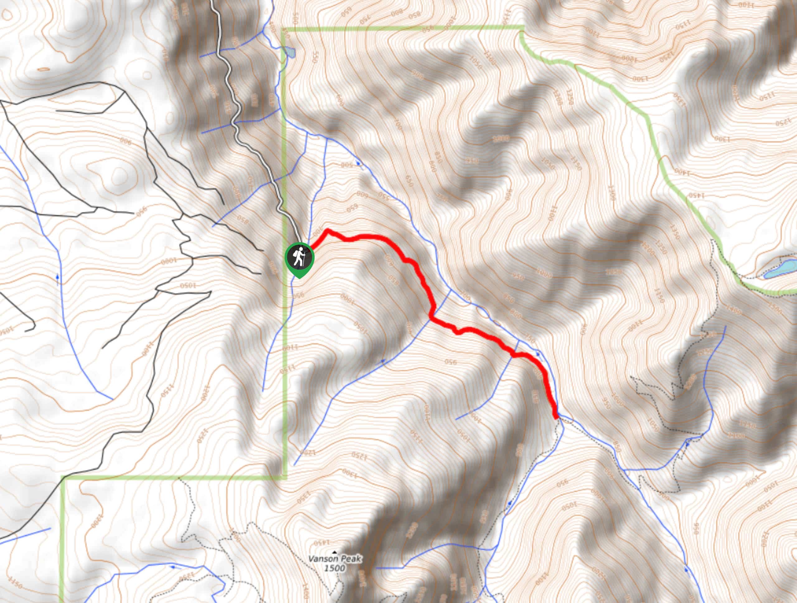
Ptarmigan Trail
Ptarmigan Trail is a 4.2mi moderate trail near the base of Mount Saint Helens. This trail is suitable…

Silver Creek Trail
Silver Creek Trail is a moderate hike in the Gifford Pinchot National Forest that is suitable for most skill levels.…
Pacific Crest Trail from Panther Creek
This route guide takes you from Panther Creek Campground to the Pacific Crest Trail, offering an easy connector for those…
Comments