Falls Creek Loop
View Photos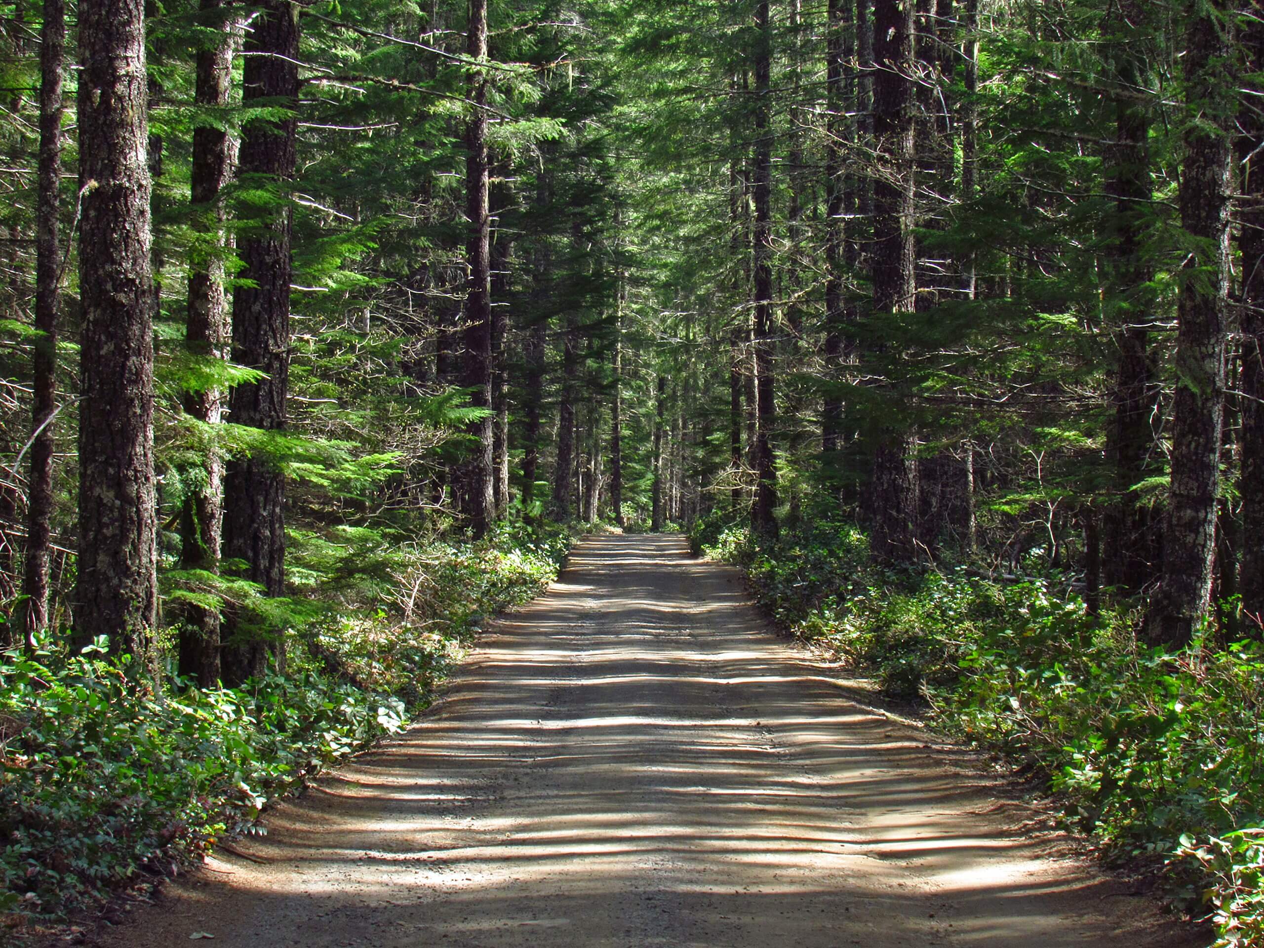
Falls Creek Loop
Difficulty Rating:
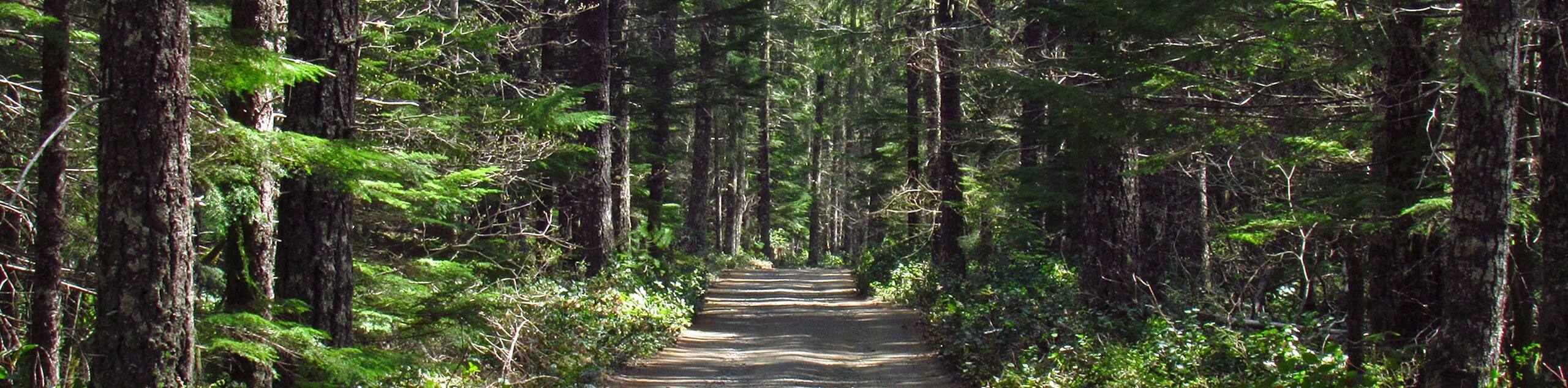
The Falls Creek Falls are a gorgeous set of waterfalls in a lush green corner of the Gifford Pinchot National Forest, falling over a dramatic three-level cascade. Despite its beauty, this spot isn’t as busy as other waterfalls in the forest, so this is a fabulous pick for a warm weekend when other falls trails could be crowded.
The hike to the falls on this loop is 5.2mi long. It’s longer than the direct Lower Falls Creek Trail, which you can take if you want a shorter out and back approach to the falls.
Getting there
The trailhead for Falls Creek Loop is at the end of Forest Road 3062-057.

About
| Backcountry Campground | No |
| When to do | March-November |
| Pets allowed | Yes - On Leash |
| Family friendly | Yes |
| Route Signage | Average |
| Crowd Levels | High |
| Route Type | Loop |
Falls Creek Loop
Elevation Graph
Weather
Falls Creek Loop Description
Falls Creek Loop is a fantastic little hike that requires relatively little effort for the pleasure of seeing a triple waterfall hidden in the forest. This hike doesn’t get as busy as other waterfalls in the area, so try it on a hot summer weekend when other routes might be congested.
The loop approach is longer than the out and back trail. We have a route guide for the out and back approach as well if you’d prefer a quicker, more direct hike.
Begin from the trailhead. You can choose which way to do this loop. Taking Falls Creek Trail 152 first (heading left and then across the hill) makes the hike more difficult to begin with, requiring more elevation gain in the first half of the hike. You’ll return on the easier Falls Creek Trail 152A.
If you want an easier start and a harder finish, take Falls Creek Trail 152A first (heading east immediately from the trailhead). Stay left at the first junction as you climb away from Falls Creek (you can actually take this spur trail for another view of the falls if you’d like) and then stay right at the junction with Falls Creek Trail 152. Note that there’s a creek crossing just before the falls that can be tricky to cross if it’s rained lately. Bring poles to help you over if needed.
Choose your path and enjoy the falls!
Insider Hints
Finding the trailhead for this hike can be tough. We recommend downloading your GPS track to help you get where you need to go.
Visit the nearby Carson Hot Springs if you want a soak after your hike.
Similar hikes to the Falls Creek Loop hike

Ptarmigan Trail
Ptarmigan Trail is a 4.2mi moderate trail near the base of Mount Saint Helens. This trail is suitable…

Boundary West Trail
Boundary West Trail is a hike near Mount Saint Helens that doesn’t see much traffic, making it a nice pick…

Silver Creek Trail
Silver Creek Trail is a moderate hike in the Gifford Pinchot National Forest that is suitable for most skill levels.…
Comments