
Lower Falls Campground Loop
View Photos
Lower Falls Campground Loop
Difficulty Rating:
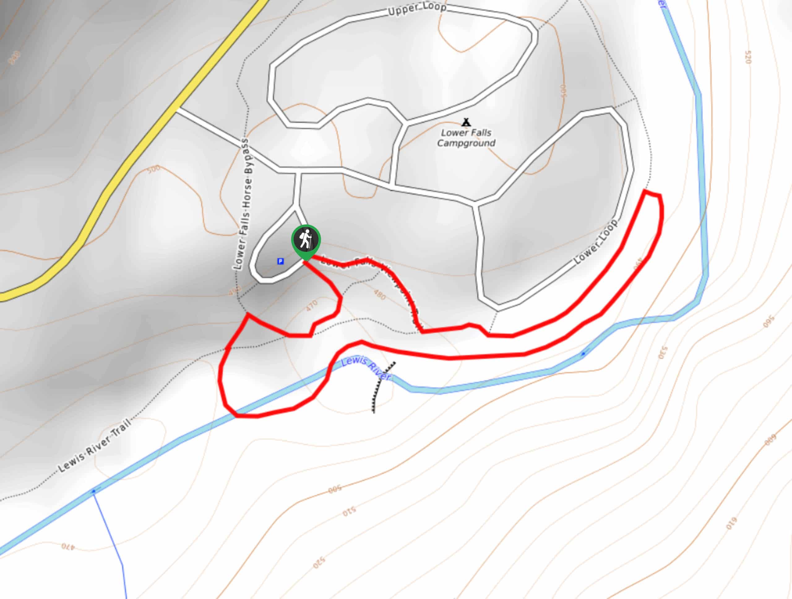
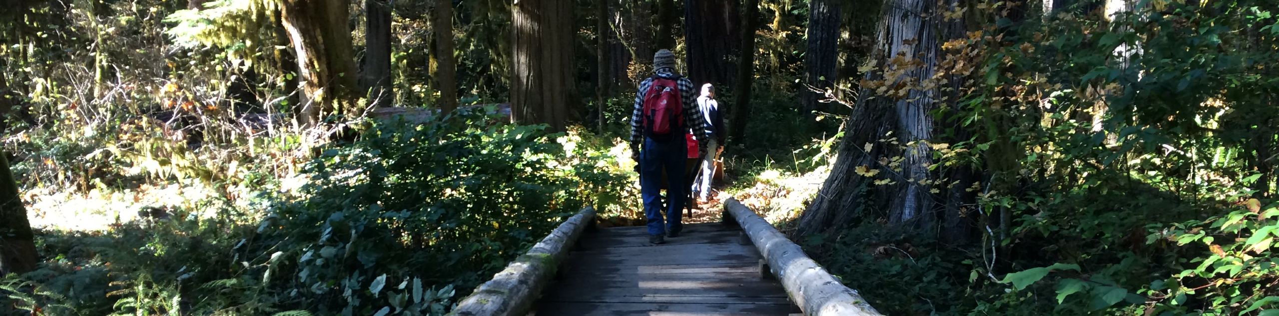
The Lower Falls Campground Loop is a great way to stretch your legs and explore if you’re staying at the campground. This trail is quick at 0.7mi long with almost no elevation gain. You’ll walk through the campground, down by the Lewis River, and by Lower Lewis River Falls. It’s a good pick for families and dogs.
Getting there
The trailhead for the Lower Falls Campground Loop is at the Lower Falls Day Use Area off Lower Loop.

About
| Backcountry Campground | Lower Falls Recreation Area Campground |
| When to do | January-October |
| Pets allowed | Yes |
| Family friendly | Yes |
| Route Signage | Average |
| Crowd Levels | Moderate |
| Route Type | Loop |
Lower Falls Campground Loop
Elevation Graph
Weather
Lower Falls Campground Loop Description
If you’re spending time at the Lower Falls Campground, this quick loop trail is a great way to enjoy the area, explore the grounds, and see Lower Lewis River Falls. You can also pop in to use the day use area to enjoy this trail without needing to be a guest at the campsite.
The loop begins from the day use area road loop. Take the trail to your right and then head to your left along the river, checking out the pretty falls. The trail takes you along the river, then you’ll turn back to return along the Lewis River Trail.
The trail goes further in both directions if you want to extend your walk a bit. We recommend heading west if you want a longer trip since the trail extends along the river quite a ways in that direction.
Similar hikes to the Lower Falls Campground Loop hike
Harmony Trail
Harmony Trail is a wonderful easy hike in the Gifford Pinchot National Forest that takes you to the shore of…
Big Creek Falls Trail
Big Creek Falls Trail takes you through a beautiful forest to three waterfalls, one of which is clearly visible. This…
Curly Creek Falls via Lewis River Trail
Curly Creek Falls can be reached on an easy 0.8mi section of the Lewis River Trail suitable for…
Comments