Wildcat Falls via Siouxon Trail
View Photos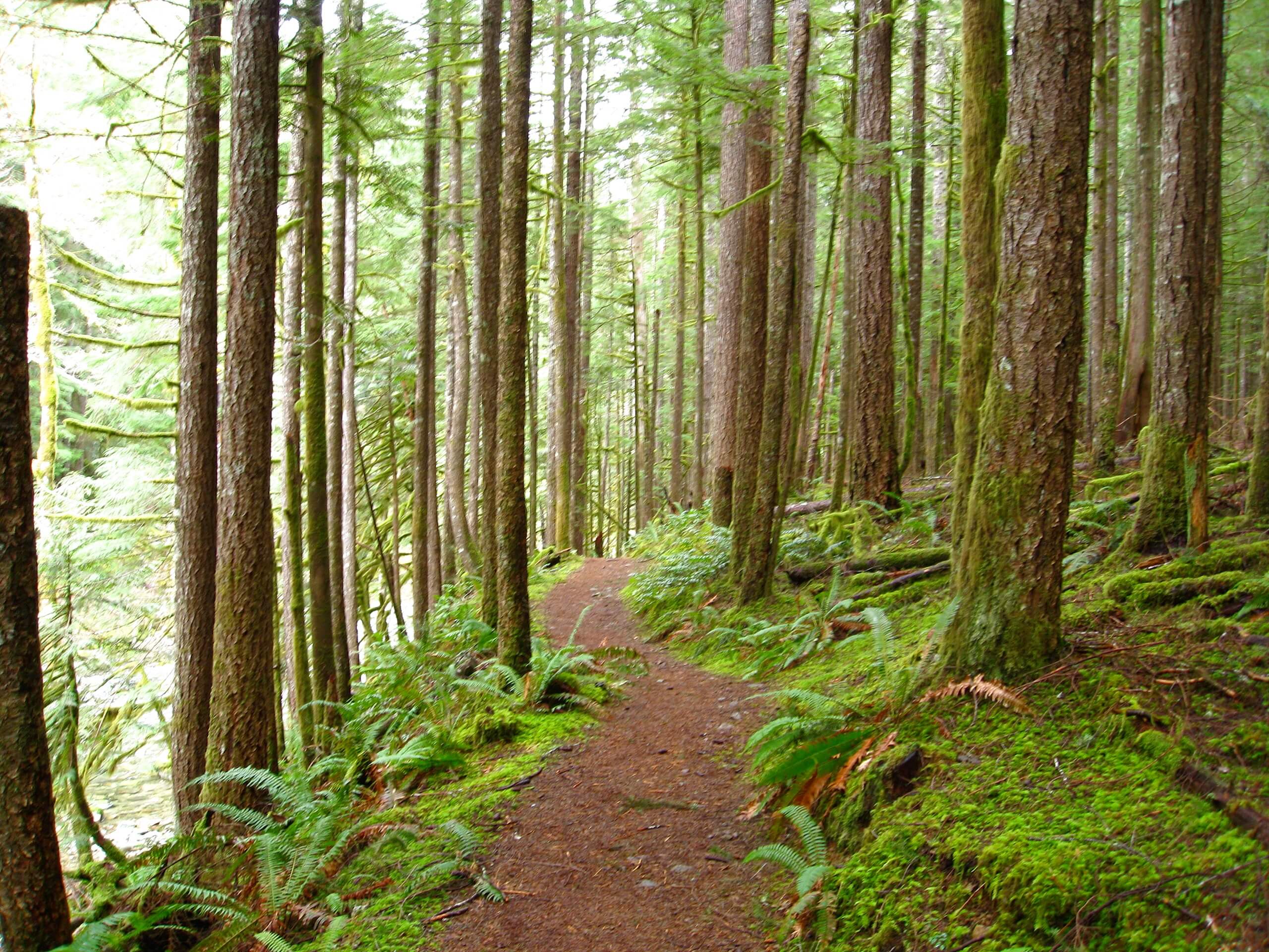
Wildcat Falls via Siouxon Trail
Difficulty Rating:
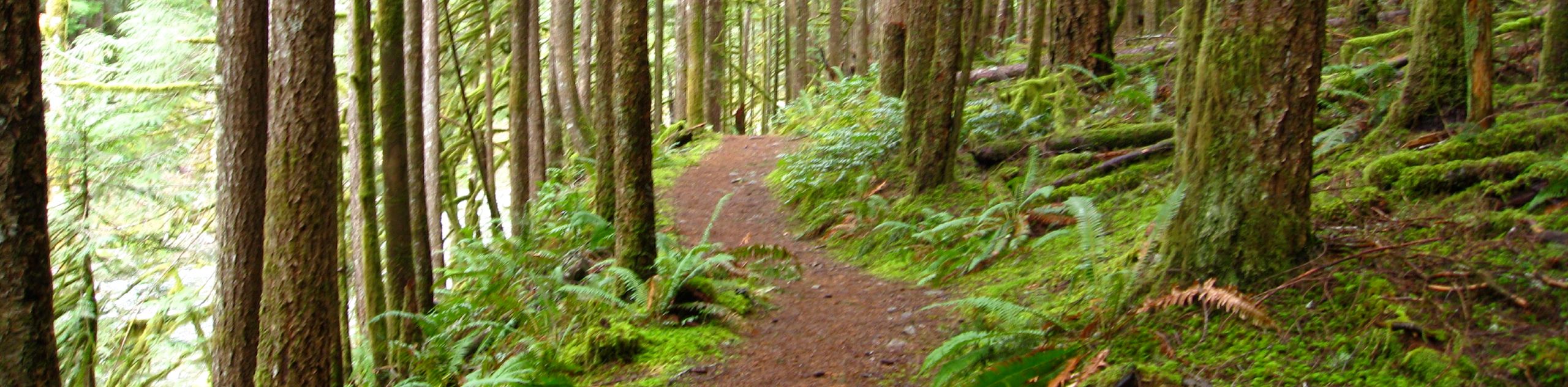
Siouxon Trail is a popular backpacking trail through an awesome forest. This area is close to the hearts of many local adventurers, and as it recovers from a forest fire, the landscape changes each year. While the Siouxon Trail is often used for longer trips, the shorter section to Wildcat Falls is a nice way to enjoy a shorter part of the trail.
This hike is moderately difficult. Keep your eyes peeled for hidden waterfalls in the trees as you enjoy this memorable trail.
Getting there
The trailhead for Siouxon Trail is on Forest Road 5701.

About
| Backcountry Campground | Various backcountry |
| When to do | March-November |
| Pets allowed | Yes - On Leash |
| Family friendly | Older Children only |
| Route Signage | Average |
| Crowd Levels | Low |
| Route Type | Out and back |
Wildcat Falls via Siouxon Trail
Elevation Graph
Weather
Wildcat Falls via Siouxon Trail Description
Siouxon Trails is loved by many for its natural beauty, unique tranquillity, and plentiful waterfalls. Enjoy Wildcat Falls (and Horseshoe Creek Falls and Siouxon Falls) using a section of this trail, hiking just under 10.0mi. Part of the trail passes through a region recovering from wildfires. Take note of the emerging plants and watch the growth change with each passing year as the forest recovers.
There is a gate blocking the access road a few miles from the trailhead. While it might seem like this needlessly lengthens your trip, there is work being done at the new trailhead parking area. Park where you safely can if the gates are closed and walk the extra distance if needed.
From the trailhead, take the route that heads east. You’ll pass the main trailhead three miles in, after which the trail widens. Cross the bridge over West Creek. You’ll go straight through the junction with the Horseshoe Ridge Trail and arrive at Horseshoe Falls shortly thereafter.
About 5.0mi into your hike (2.0mi from the lower trailhead), you’ll find Siouxon Falls. Take a breather here before continuing along Siouxon Creek. When you pass the campsite on your right, cross the creek and find Wildcat Falls.
After enjoying the falls, head back to the trailhead the same way you came in.
Similar hikes to the Wildcat Falls via Siouxon Trail hike

Ptarmigan Trail
Ptarmigan Trail is a 4.2mi moderate trail near the base of Mount Saint Helens. This trail is suitable…

Boundary West Trail
Boundary West Trail is a hike near Mount Saint Helens that doesn’t see much traffic, making it a nice pick…

Silver Creek Trail
Silver Creek Trail is a moderate hike in the Gifford Pinchot National Forest that is suitable for most skill levels.…
Comments