Chinook Falls via Siouxon Trail
View Photos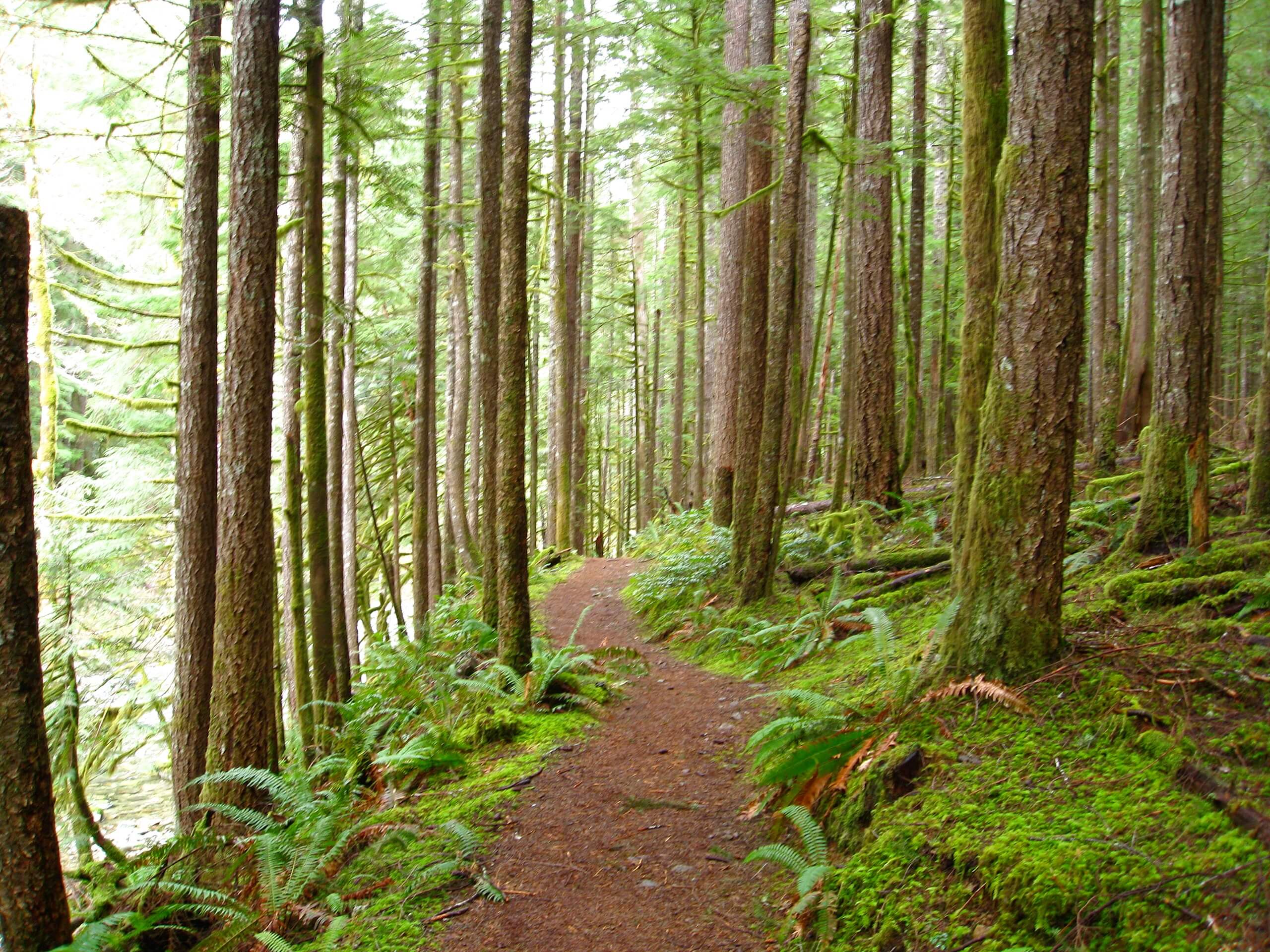
Chinook Falls via Siouxon Trail
Difficulty Rating:
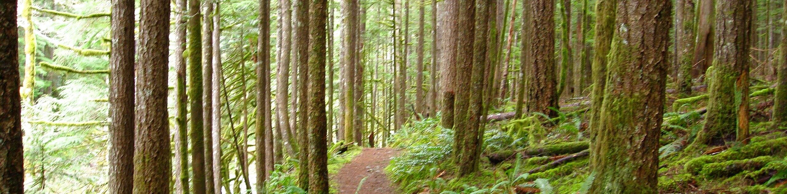
Siouxon Trail is a very popular backpacking route through a truly splendid forest. This area is close to the hearts of many local adventurers, and as it recovers from a forest fire, the landscape changes each year. While the Siouxon Trail is often used for longer trips, the 11.2mi hike to Chinook Falls is a splendid way to enjoy a section of the trail. While Chinook Falls are the feature of this hike, you’ll also be able to see Horseshoe falls and Siouxon Falls on the way.
This hike is moderately difficult. We don’t recommend it for young children as the bridges on the trail are subject to damage and washout, and this can make reaching the falls difficult without a bit of adventurous creek crossing. Keep your eyes peeled for hidden waterfalls in the trees as you enjoy this memorable trail.
Getting there
The trailhead for Siouxon Trail is on Forest Road 5701.

About
| Backcountry Campground | Various backcountry |
| When to do | March-November |
| Pets allowed | Yes - On Leash |
| Family friendly | Older Children only |
| Route Signage | Average |
| Crowd Levels | High |
| Route Type | Out and back |
Chinook Falls via Siouxon Trail
Elevation Graph
Weather
Chinook Falls via Siouxon Trail Description
Siouxon Trails is loved by many for its natural beauty, unique tranquillity, and plentiful waterfalls. Enjoy Chinook Falls using a section of this trail, hiking just over 11.0mi roundtrip through this lovely area. Part of the trail passes through a region recovering from wildfires. Take note of the emerging flora and watch the foliage change with each passing year as the forest recovers.
There is a gate blocking the access road a few miles from the trailhead. While it might seem like this needlessly lengthens your trip, there is work being done at the new trailhead parking area. Park where you safely can if the gates are closed and walk the extra distance if needed.
From the trailhead, take the route that heads east, hugging the hillside and traversing through the trees. The route here is a bit narrow. You’ll pass the main trailhead three miles in, after which the trail widens.
Cross the bridge over West Creek. You’ll go straight through the junction with the Horseshoe Ridge Trail and arrive at Horseshoe Falls shortly thereafter. Take a look before crossing the creek and continuing.
About 5.0mi into your hike (2.0mi from the lower trailhead), you’ll find Siouxon Falls. Take a breather here before continuing along Siouxon Creek.
The route gets narrower again after the falls. About 7.0mi in, cross over 14.0mi Falls on the best log bridge you can find. This can be tough to do if the water is high, so be careful.
The falls are just ahead. You can see them well from the wooden bridge. Snap some photos, take a rest, and then prepare to retrace your steps to the trailhead.
Insider Hints
Bring poles to help with the creek crossings.
You could bring a bike to cover the distance between the current trailhead and lower trailhead faster if you wanted to.
Similar hikes to the Chinook Falls via Siouxon Trail hike

Ptarmigan Trail
Ptarmigan Trail is a 4.2mi moderate trail near the base of Mount Saint Helens. This trail is suitable…

Boundary West Trail
Boundary West Trail is a hike near Mount Saint Helens that doesn’t see much traffic, making it a nice pick…

Silver Creek Trail
Silver Creek Trail is a moderate hike in the Gifford Pinchot National Forest that is suitable for most skill levels.…
Comments