Slater Lake Hike
View Photos
Slater Lake Hike
Difficulty Rating:
We love a good mountain adventure, and the Slater Lake Hike delivers just that. Hike up the OHV road up to a cluster of shimmering alpine lakes nestled between snow-capped, craggy peaks. This adventure offers activities for all sorts of outdoor enthusiasts, hike it, bike it, or even drive up the Slater Lake Trail.
Getting there
The Slater Lake Hike begins at end of the Rainbow Road in the James Peak Wilderness

About
| Backcountry Campground | Designated Dispersed Campsites |
| When to do | April-October |
| Pets allowed | Yes - On Leash |
| Family friendly | Yes |
| Route Signage | Poor |
| Crowd Levels | Moderate |
| Route Type | Lollipop |
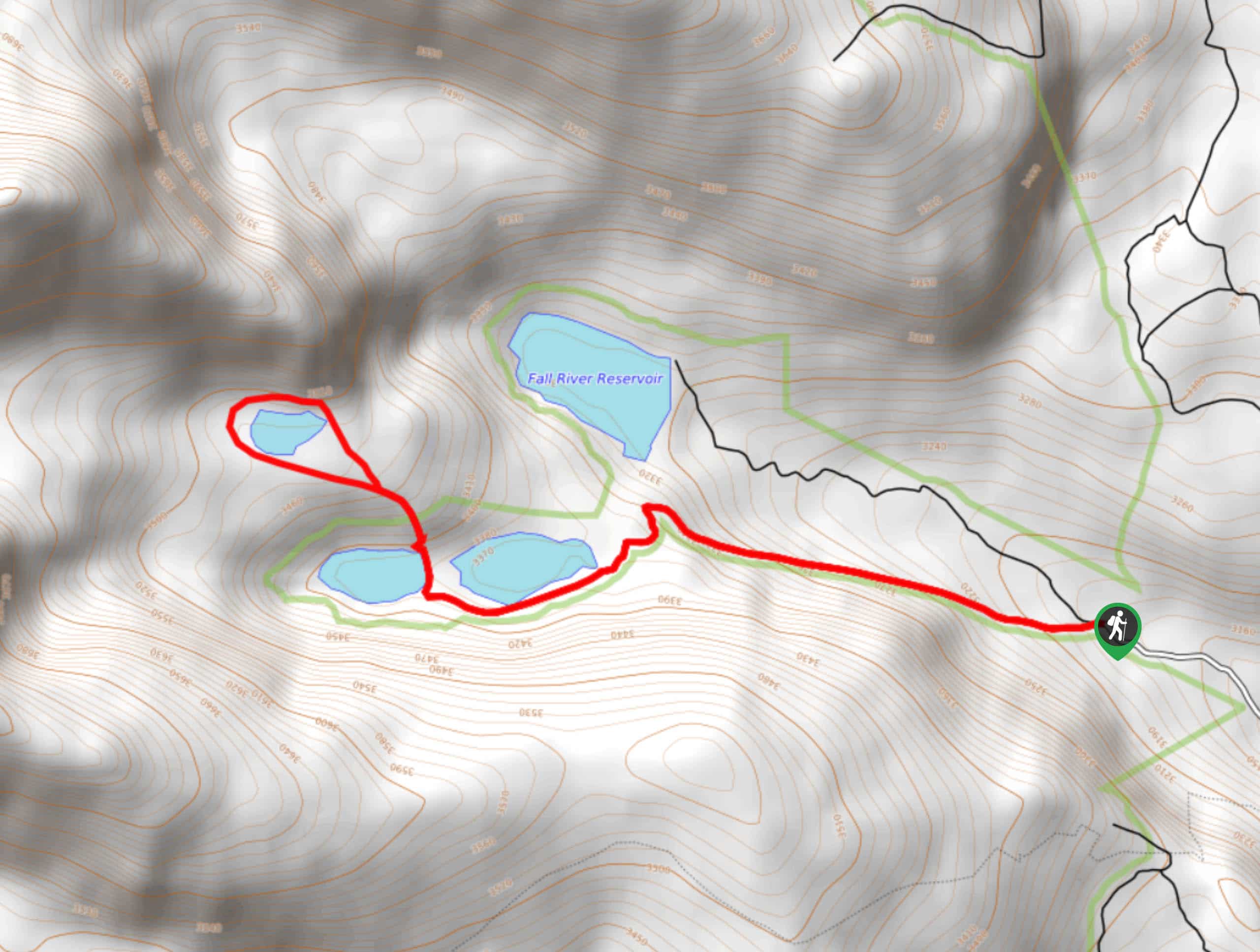
Slater Lake Hike
Elevation Graph
Weather
Slater Lake Hike Description
The Slater Lake Hike is a scenic hike through the Arapaho National Forest. Though this trail can be completed year-round, the changing foliage in the autumn adds to the charm. Hike up the shared OHV and bike route to Slater Lake and round the lake’s shoreline. This route is easy to navigate as you travel the Jeep Road, but there is no explicit trail around the lake—use the trail GPS or walk around the shoreline to avoid getting off track. It is also worth noting that the road up to the trailhead is a bit rugged; a 4×4 vehicle with ground clearance should have no issue but drive the road at your own risk.
It is worth noting there is no parking lot for this adventure, so visitors will have to park alongside the road. From the end of Rainbow Road, take the Jeep Road northwest. Track up the dirt road hemmed with aspen trees. As you ascend the route, you will notice Fall River Reservoir on your right-hand side. Continue hiking up the road, and the trail will deliver you to the bundle of lakes. Lower Chinns Reservoir will be on your right and the Upper Chinns Reservoir on your left.
At this point, the route will come to its end at the Upper Chinns Reservoir, where there will likely be several campers set up along the shoreline. Continue up the more primitive path over a ridge and up to Slater Lake. Revel in the grandeur of the towering peaks that flank the lake and trek around the shoreline. After you loop around the lake, retrace your steps back along the trail to your vehicle.
Similar hikes to the Slater Lake Hike hike

Rutherford Trail
The Rutherford Hike is a charming nature walk in Georgetown Colorado. This secluded trail is a wonderful adventure the whole…
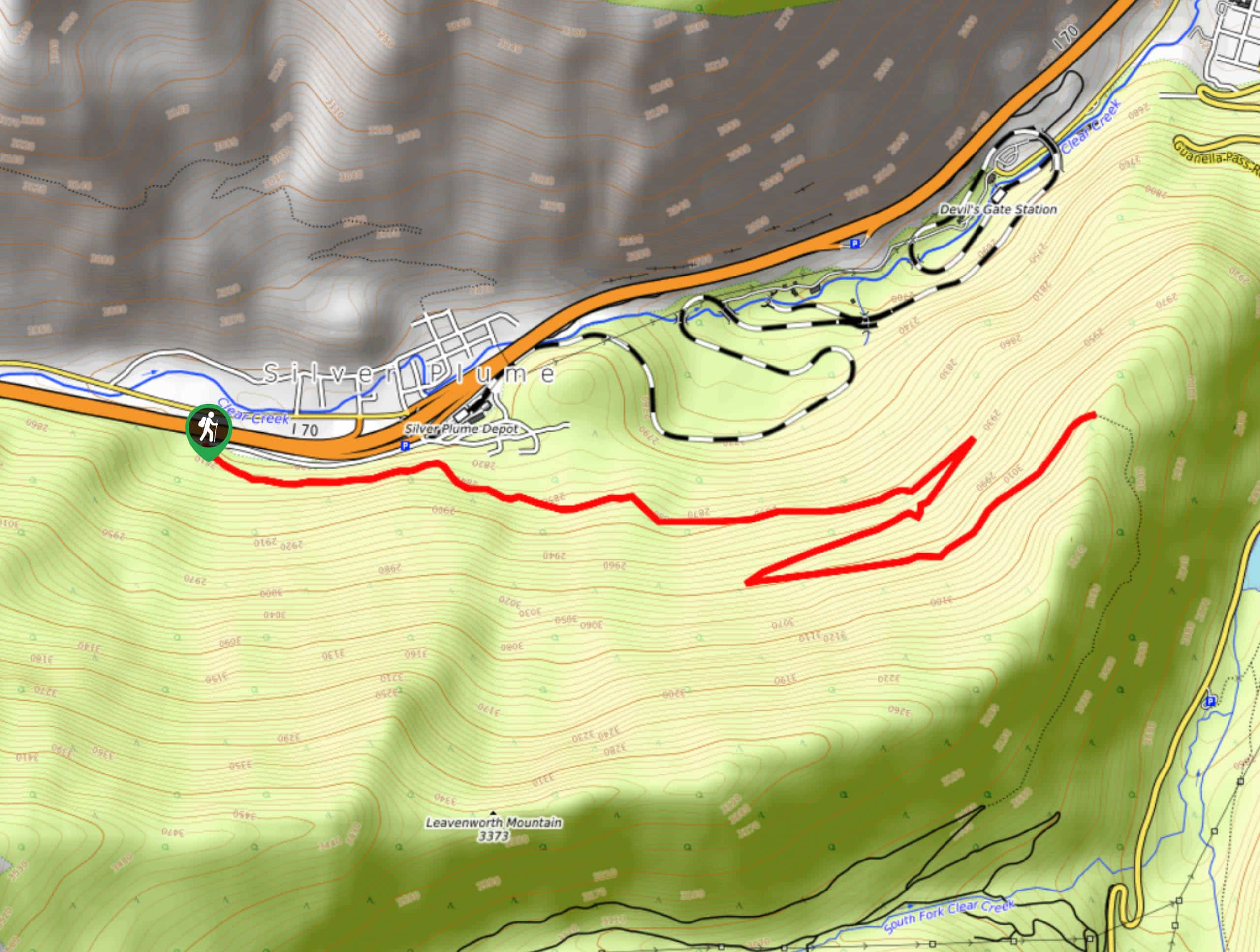
Pavilion Point Hike
The Pavilion Point Hike is an awesome adventure that the whole family can enjoy. Near Silver Plume Train Depot, kids…
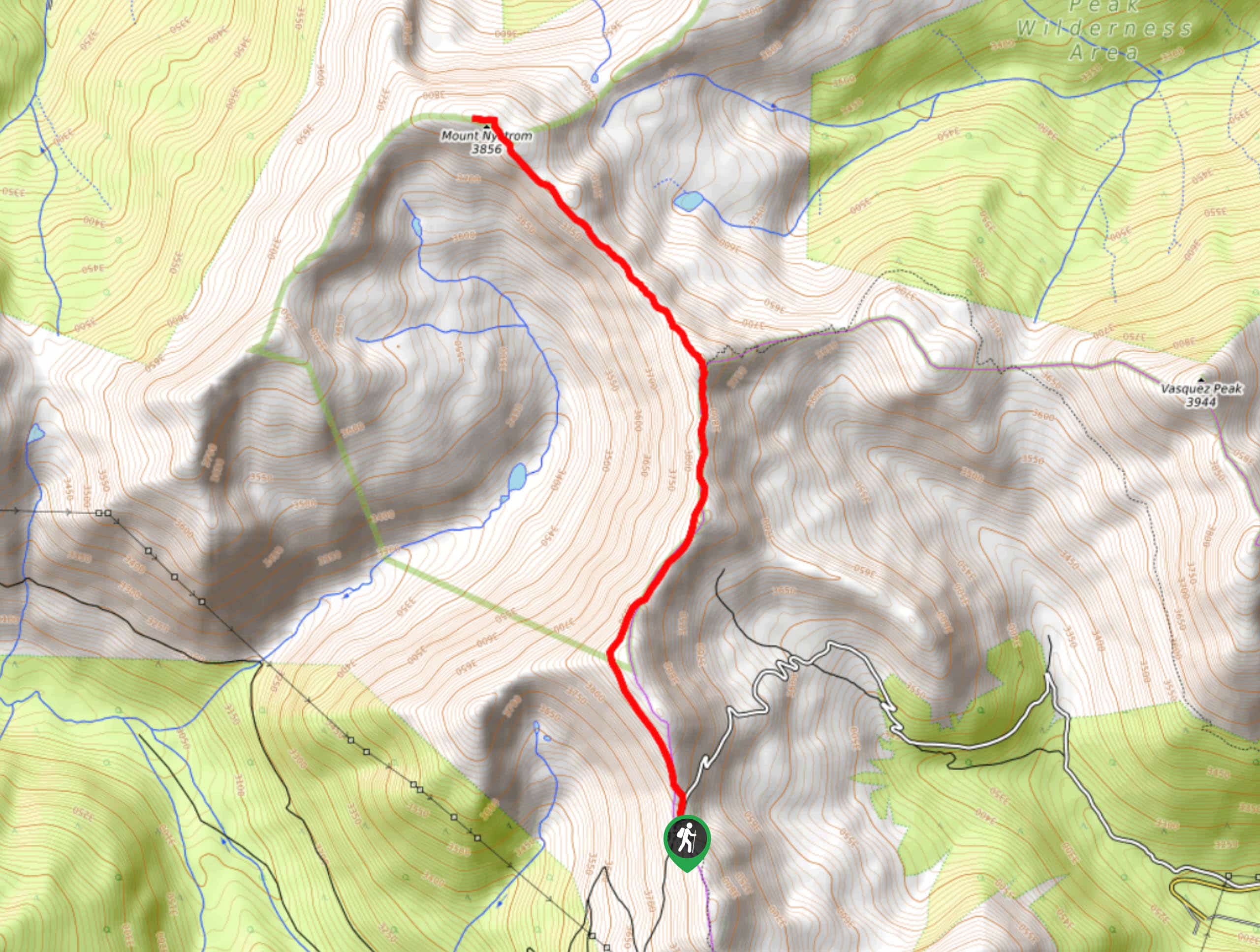
Mount Nystrom Trail
The Mount Nystrom Trail is an exciting adventure above the clouds. Hike the exposed path to the summit and enjoy…
Comments