

Rutherford Trail
View Photos
Rutherford Trail
Difficulty Rating:
The Rutherford Hike is a charming nature walk in Georgetown Colorado. This secluded trail is a wonderful adventure the whole family will love. Hike among vibrant aspens and along the South Fork Clear Creek and it’s mini waterfalls. Escape the stressors of the real world as escape into nature along the Rutherford Trail.
Getting there
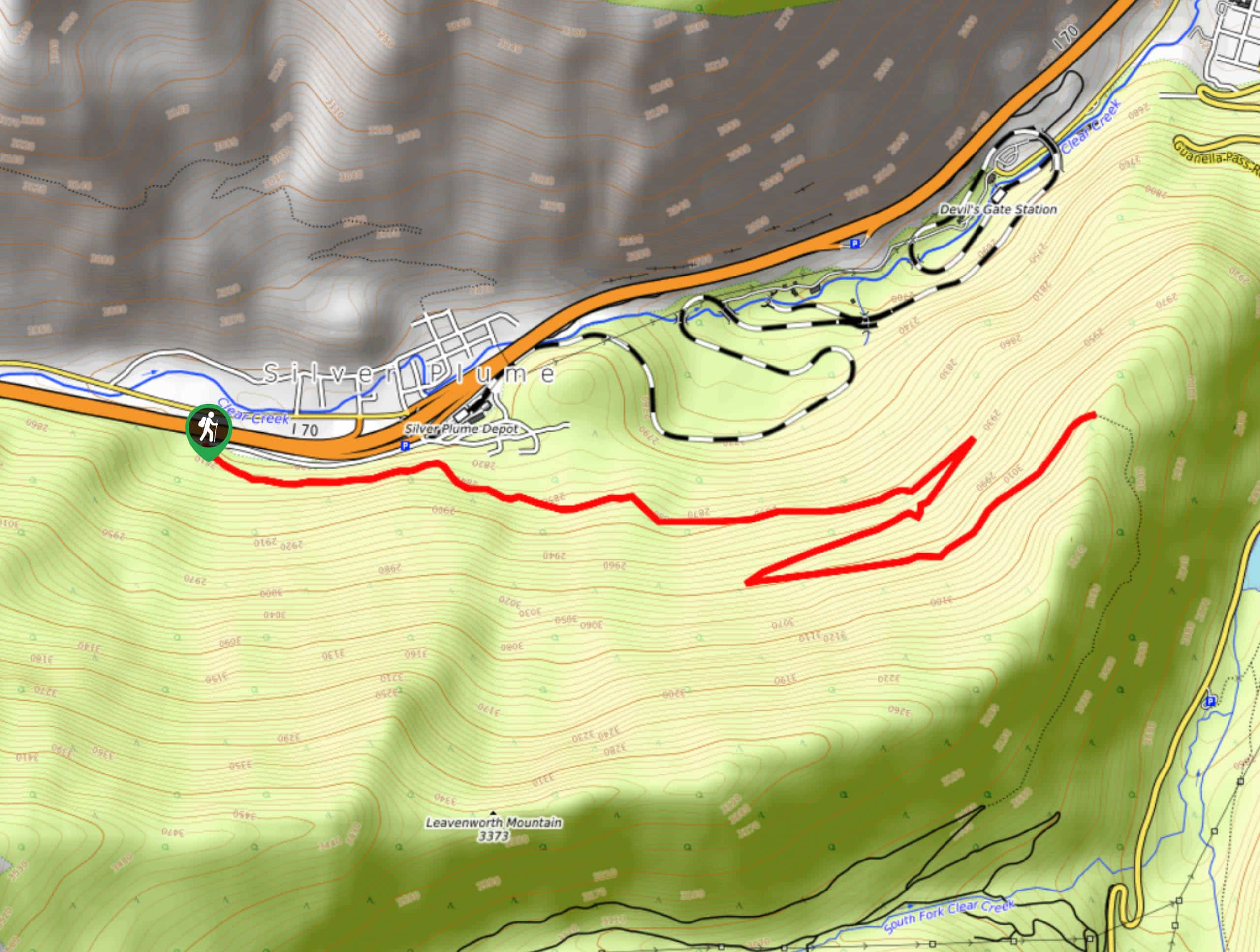
The Rutherford Trailhead is located off 3rd Street in Georgetown, Colorado.

About
| Backcountry Campground | No |
| When to do | Year-round |
| Pets allowed | Yes - On Leash |
| Family friendly | Yes |
| Route Signage | Good |
| Crowd Levels | Moderate |
| Route Type | Out and back |
Rutherford Trail
Elevation Graph
Weather
Rutherford Hike Description
The Rutherford Hike is an easily manageable hike that the whole family will enjoy. Ascend the woodland trail to the Georgetown Reservoir. Surrounded by vibrant aspens and alongside a babbling creek, this adventure is delightful. Note the initial segment of the hike is quite steep, but don’t let that discourage you! The grade will become increasingly gradual as you ascend the path.
Begin your hike along the Rutherford Trail at the end of 3rd Street. Cross over the lower bridge and onto the Rutherford Trail, which used to be an old wagon road for the area’s mines. Hike up the path, keeping an eye out for historic mine remnants that are so commonly spotted along trails in this area. Ascend the path and revel in the beauty of the vibrant aspens that tower above. Continue trekking south alongside the South Fork Clear Creek and enjoy the ambiance of the mini waterfalls that line the path. Eventually, the trail will culminate at the Georgetown Reservoir.
Take a break, and if you still have some gas left in the tank, consider hiking another one of the many connecting routes through the network of trails. If you are ready to head back, retrace your steps down the route to the trailhead and parking lot.
Similar hikes to the Rutherford Trail hike

Miller Gulch Loop Trail
The Miller Gulch Loop Trail is a scenic meadowland adventure in the Pike National Forest. Hike through grassy meadows laden…

The Castle Hike
The Castle Hike is an exciting adventure up the steep, forested terrain to The Castle Rock. From atop the summit,…
Pavilion Point Hike
The Pavilion Point Hike is an awesome adventure that the whole family can enjoy. Near Silver Plume Train Depot, kids…
Comments