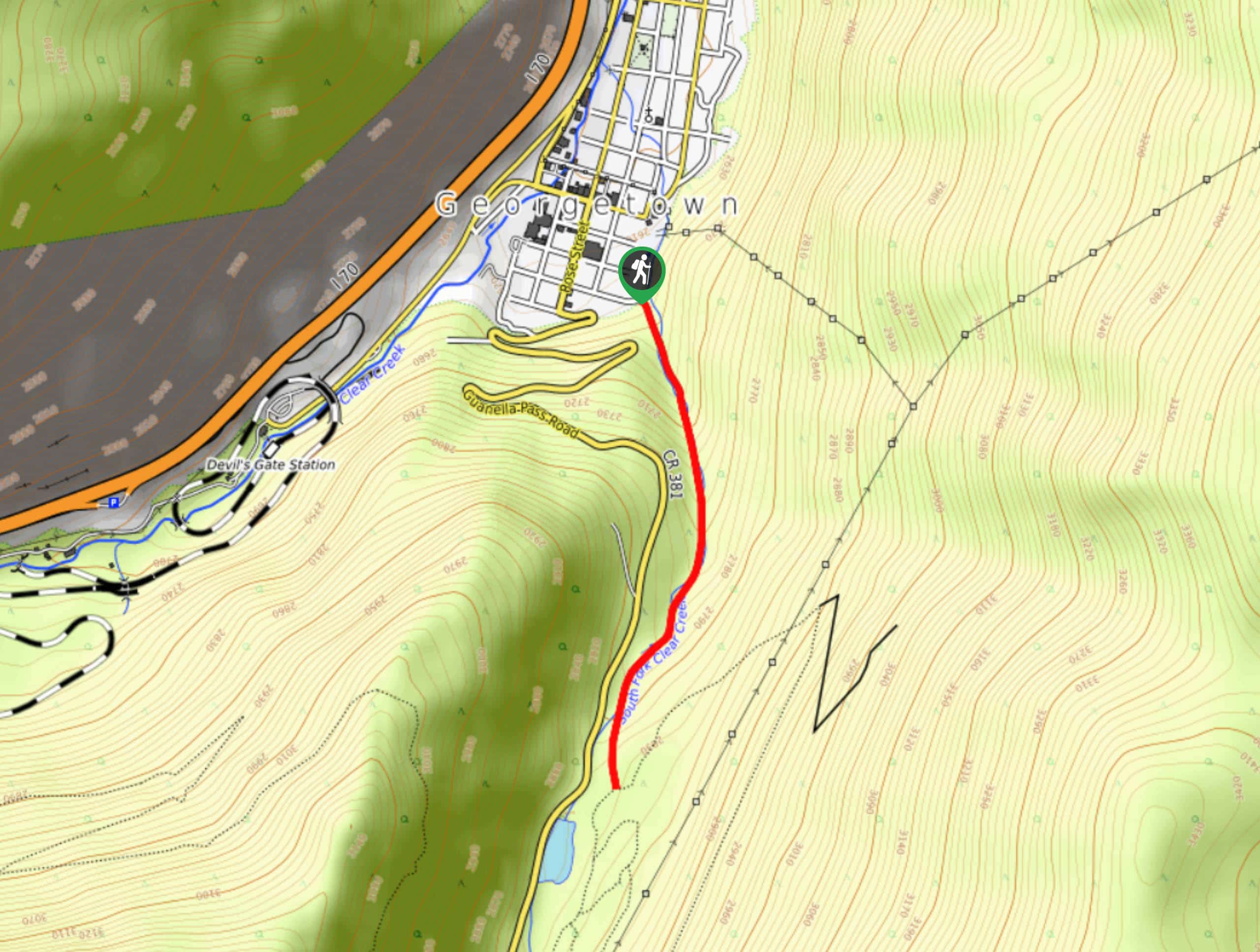


Miller Gulch Loop Trail
View PhotosMiller Gulch Loop Trail
Difficulty Rating:
The Miller Gulch Loop Trail is a scenic meadowland adventure in the Pike National Forest. Hike through grassy meadows laden with wildflowers, past impressive granite outcroppings and through towering pines interspersed with vibrant aspens. Reconnect with nature and escape reality as you trek around this scenic loop trail.
Getting there
Embark on your adventure around the Miller Gulch Loop Trail from the trailhead off Eos Mill Road.
About
| Backcountry Campground | Dispersed backcountry camping, restrictions apply. |
| When to do | May-September |
| Pets allowed | Yes - On Leash |
| Family friendly | Older Children only |
| Route Signage | Average |
| Crowd Levels | Low |
| Route Type | Lollipop |
Miller Gulch Loop Trail
Elevation Graph
Weather
Miller Gulch Loop Hike Description
The Miller Gulch Loop Trail is not only scenic, it’s versatile. In the summer, you can hike, bike, or run this trail; in the winter months you can snowshoe or cross-country ski! This adventure is a wonderful excuse to escape into nature for the day! It is worth noting that this excursion is almost entirely exposed to the elements and there are no water sources along the path. We suggest avoiding this hike on hot, sunny summer days, but if you do venture it, make sure to pack plenty of water for you and your pup, and lather on the sunscreen! With limited elevation gain, this route is also ideal for families. Note it is lengthy, but you could always turn around when people start to tire!
Begin your hike around the Miller Gulch Loop Trail from the trailhead. Track east on the Miller Gulch Trail around the base of Redskin Mountain. Hike along the ridge of the peak and stay left at the first intersection. Continue along the Miller Gulch Trail until the second junction. Here, turn right down an unnamed path. Briefly trek this path, and at the next junction, trek left down Gashouse Trail. Continue along this loop as it guides you out of the sparse tree shade and into meadow. Merge onto Baldy Trail and at the next junction, reconnect with the Gashouse Trail and head northwest.
At this point, you will reconnect with the Miller Gulch Trail. Veer left and retrace your steps back to the parking lot and trailhead.
Similar hikes to the Miller Gulch Loop Trail hike

Hankins Pass Hike
The Hankins Pass Hike is a quintessential adventure across the Lost Creek Wilderness. The hike demonstrates the diversity of the…

The Castle Hike
The Castle Hike is an exciting adventure up the steep, forested terrain to The Castle Rock. From atop the summit,…

Rutherford Trail
The Rutherford Hike is a charming nature walk in Georgetown Colorado. This secluded trail is a wonderful adventure the whole…


Comments