

Hankins Pass Hike
View Photos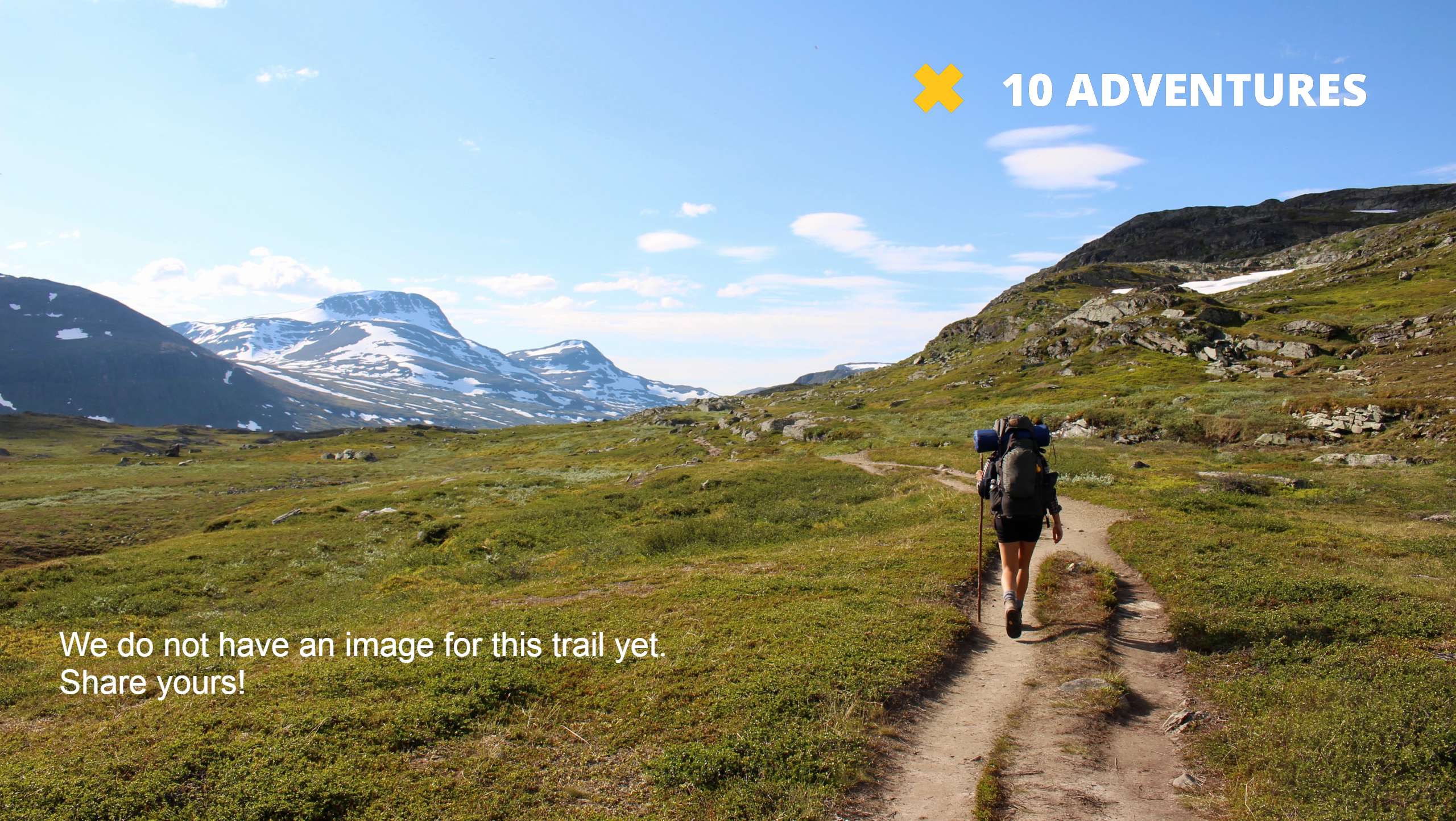
Hankins Pass Hike
Difficulty Rating:
The Hankins Pass Hike is a quintessential adventure across the Lost Creek Wilderness. The hike demonstrates the diversity of the Colorado wilderness as you walk through wetlands and forested valleys to grassy meadows atop rocky ridges. This trail is an epic day hike or an awesome beginning to your backpacking expedition.
Getting there
Begin your journey along the Hankins Pass Trail from the Goose Creek Trailhead off FR 558.

About
| Backcountry Campground | Dispersed Backcountry Camping Permitted, restrictions apply. |
| When to do | May-October |
| Pets allowed | Yes - On Leash |
| Family friendly | No |
| Route Signage | Average |
| Crowd Levels | Moderate |
| Route Type | Out and back |
Hankins Pass Hike
Elevation Graph
Weather
Hankins Pass Hike Description
The Hankins Pass Hike is a stimulating adventure that is sure to impress its adventurers. Begin on the east side of the Lost Creek Wilderness and hike all the way over to the west end of the area. This excursion is lengthy and demands stamina and preparation. With a gradual grade, the terrain isn’t too strenuous, but it is undoubtedly a butt burner. Make sure to pack plenty of provisions and water! Consider trekking poles and microspikes in the autumn and winter months to help navigate snowy and icy terrain.
Begin your adventure from the Goose Creek Trailhead. Shortly after your departure from the Goose Creek Trailhead, you will encounter an intersection. At the junction, stay left and you will be diverted onto the Hankins Pass Trail. Hike along the Hankins Pass Trail through meadowlands and then beneath the coverage of towering aspens. As you trek, you will pass several granite outcroppings and designated dispersed campsites. Eventually, you will confront another junction, keep left on the Hankins Pass Trail and at the next intersection, merge onto the Brookside McCurdy Trail. This path will lead to the hike’s end at a stunning lookout of Lizard Rock.
Enjoy the scenery of the Lizard Rock and South Tarryall Peak in the background. Take a rest and when you are ready, retrace your steps all the way back to the trailhead.
Similar hikes to the Hankins Pass Hike hike

Miller Gulch Loop Trail
The Miller Gulch Loop Trail is a scenic meadowland adventure in the Pike National Forest. Hike through grassy meadows laden…

The Castle Hike
The Castle Hike is an exciting adventure up the steep, forested terrain to The Castle Rock. From atop the summit,…
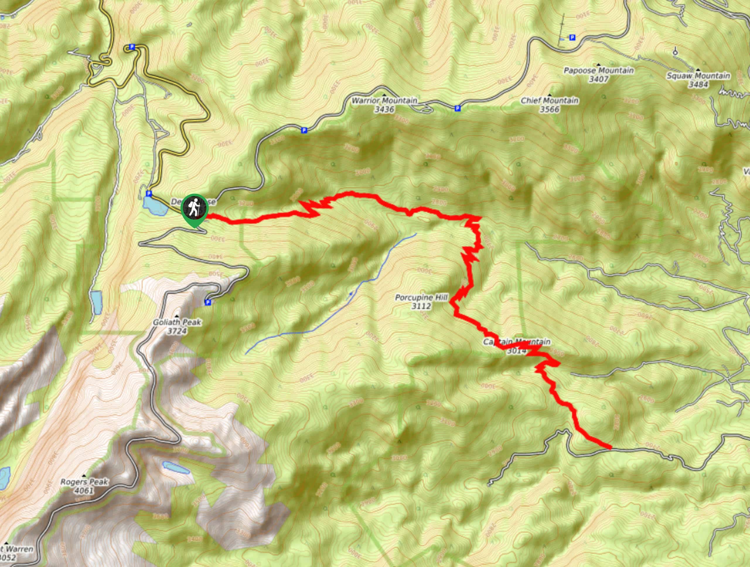
Captain Mountain Hike
The Captain Mountain Hike is a demanding excursion in the Mount Evans Wilderness. Hike through the dense Colorado Forests and…
Comments