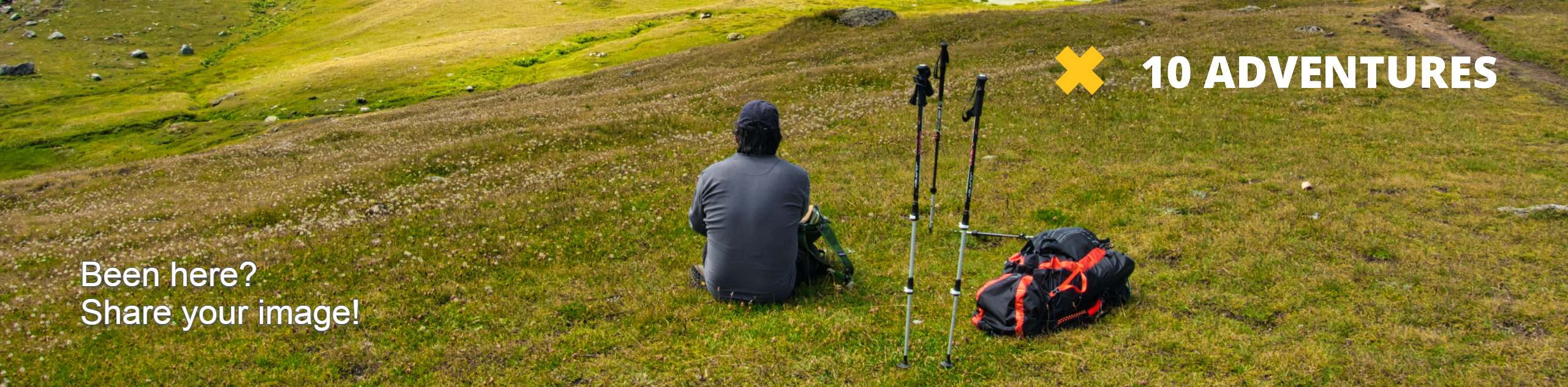
Black Powder Trail
View Photos
Black Powder Trail
Difficulty Rating:
The Black Powder Trail is an epic family-friendly nature hike in the Gateway Natural Area. Hike along the Cache La Poudre River, past historic mines and to a scenic meadow overlook. Leave the hustle and bustle of the city in the rear-view mirror and escape into the wilderness.
Getting there
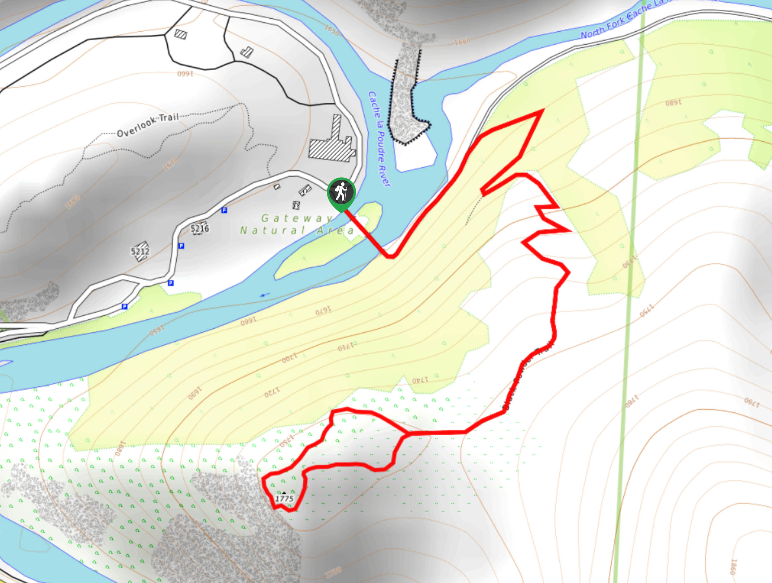
The Black Powder Trail is in the Gateway Natural Area off Poudre Canyon Highway.

About
| Backcountry Campground | No |
| When to do | March-October |
| Pets allowed | Yes - On Leash |
| Family friendly | Yes |
| Route Signage | Good |
| Crowd Levels | Moderate |
| Route Type | Lollipop |
Black Powder Trail
Elevation Graph
Weather
Black Powder Hike Description
The Black Powder Trail is the perfect family-friendly nature hike. Get your legs moving as you trek along the dirt path to a scenic overlook of the Poudre Canyon. Note this route is almost entirely exposed, so lather on the sunscreen on a sunny summer’s day. There have also been snakes spotted in the area, be mindful of your footing and keep your distance from wildlife.
Begin your adventure around the Black Powder Loop from the trailhead. Take the bridge across the river, and trek northeast. At the junction, veer right up the Black Powder Trail. Navigate the switchbacks up the steep terrain. Notice the bristlecone pines that dot the surrounding wilderness and the remnants of historic mines. Trek up the route and from the next intersection, you can complete the loop in from either direction. We headed clockwise around the circuit. Hike around the path and enjoy the impressive vistas of the Cache La Poudre Canyon and river below.
Complete the loop, then take the Black Powder Trail back to the trailhead and parking lot.
Similar hikes to the Black Powder Trail hike

Rutherford Trail
The Rutherford Hike is a charming nature walk in Georgetown Colorado. This secluded trail is a wonderful adventure the whole…
Pavilion Point Hike
The Pavilion Point Hike is an awesome adventure that the whole family can enjoy. Near Silver Plume Train Depot, kids…
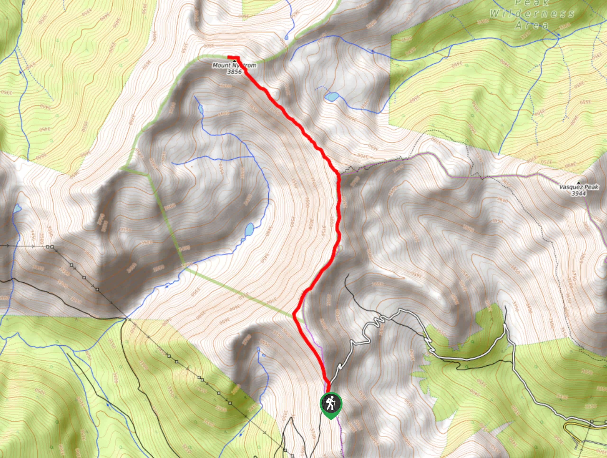
Mount Nystrom Trail
The Mount Nystrom Trail is an exciting adventure above the clouds. Hike the exposed path to the summit and enjoy…
Comments