Sullivan Gulch Trail
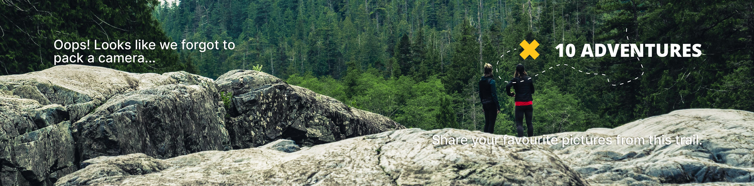
View Photos
Sullivan Gulch Trail
Difficulty Rating:
The Sullivan Gulch Trail is an awesome introductory hike to summit hikes in the Front Range. Though short, the terrain up to the summit is steep and technical. Hikers of most skill-levels and children should be able to navigate the terrain, just bear in mind it is quite vertiginous.
Getting there
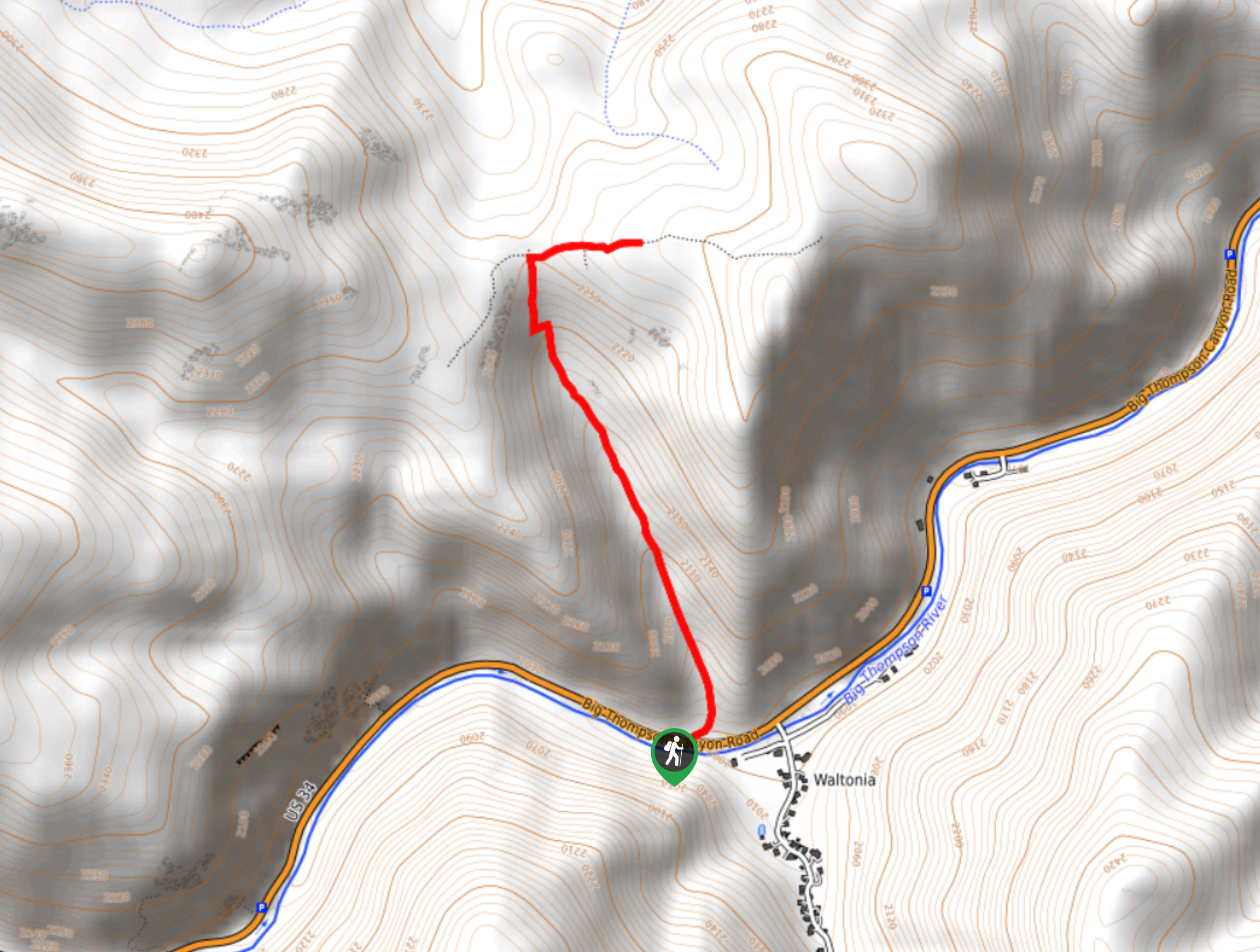
The Sullivan Gulch Trailhead is off Big Thompson Canyon Road.

About
| Backcountry Campground | No |
| When to do | Year-round |
| Pets allowed | Yes - On Leash |
| Family friendly | Yes |
| Route Signage | Average |
| Crowd Levels | Low |
| Route Type | Out and back |
Sullivan Gulch Trail
Elevation Graph
Weather
Sullivan Gulch Hike Description
The Sullivan Gulch Trail is an exciting adventure up a forested valley. Navigate the steep rocky terrain to the overlook and picnic area. Sturdy footwear is a must! When navigating the loose, rocky terrain you are going to want ankle support. Though not necessary, trekking poles may come in handy as you climb the vertigo inducing path. Bring plenty of water and consider packing provisions to have a picnic at the summit.
Embark on your adventure up Sullivan Gulch from the parking lot. Note that parking is limited, so ensure to arrive early to secure a spot. When you are ready, track northwest up the Sullivan Gulch Trail. Climb up the path, navigating the boulders and loose rocks. Continue hiking through the lodgepole pines up to the summit. Ensure to take breaks along the way to catch your breath.
When you summit the trail, you can explore the overlook and the few routes atop the mountain. Enjoy the panoramic vistas and refuel before beginning your descent. Retrace your steps back down the path when you are ready.
Similar hikes to the Sullivan Gulch Trail hike

Miller Gulch Loop Trail
The Miller Gulch Loop Trail is a scenic meadowland adventure in the Pike National Forest. Hike through grassy meadows laden…

The Castle Hike
The Castle Hike is an exciting adventure up the steep, forested terrain to The Castle Rock. From atop the summit,…

Rutherford Trail
The Rutherford Hike is a charming nature walk in Georgetown Colorado. This secluded trail is a wonderful adventure the whole…
Comments