Weaver Lake Trail
View Photos
Weaver Lake Trail
Difficulty Rating:
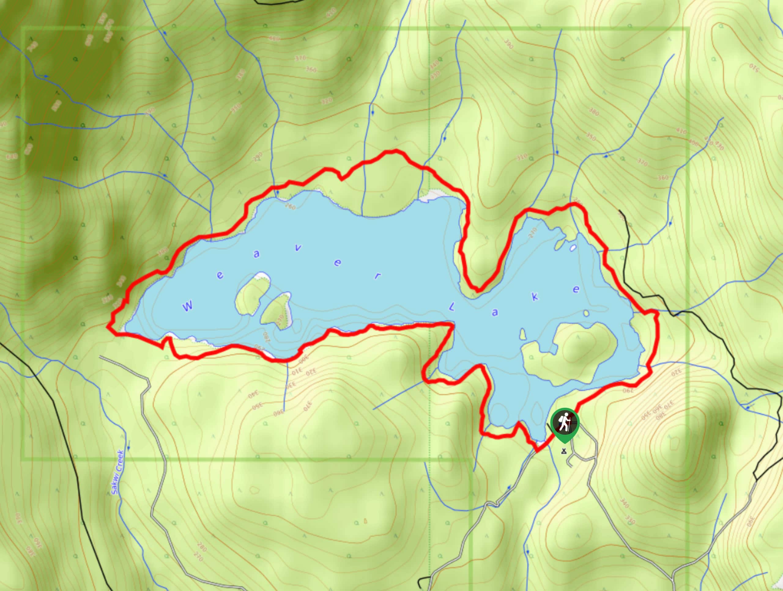
The Weaver Lake Trail is a popular 4.6mi loop trail near Chilliwack that meanders around a woodland lake across a variety of terrain. The trail will follow densely forested undulating paths that offer views out over the water. This relaxed trail is a great adventure for anyone looking for a bit of variation in their hiking route without too much difficulty.
Getting there
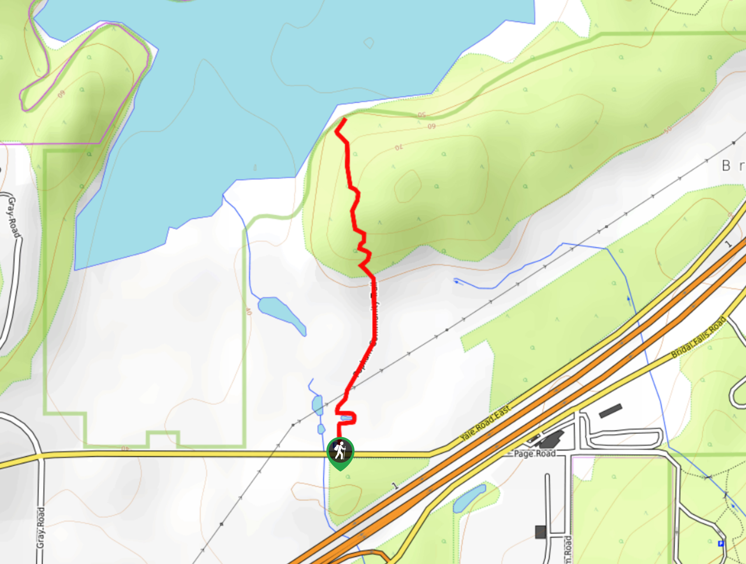
To get to the trailhead at the Weaver Lake Campground from Harrison Mills, drive northwest on BC-7 for 0.7mi and turn right onto Chehalis FSR. After 886ft, make another right onto Morris Valley Road and follow it for 7.8mi. Here, you will turn left and continue on for 1.4mi to reach the parking area.

About
| When to do | April-October |
| Backcountry Campsites | Weaver Lake Campground |
| Pets allowed | Yes - On Leash |
| Family friendly | Older Children only |
| Route Signage | Average |
| Crowd Levels | Moderate |
| Route Type | Circuit |
Weaver Lake Trail
Elevation Graph
Weather
Weaver Lake Trail Description
Hiking the Weaver Lake Trail is a fun adventure just north of Chilliwack, BC that will take you on a 4.6mi loop around a scenic woodland lake. The trail offers a nice variation in terrain, with narrow forested paths that gently undulate. Make sure to bring bug spray, as the trail’s proximity to the water makes it an ideal habitat for mosquitoes. Additionally, this area does occasionally see inclement weather, with the resulting deadfall ending up scattered along the trail. Be prepared to have to maneuver around fallen trees and other natural obstacles. All of that aside, this route offers a great opportunity to get out and enjoy the peaceful woodland atmosphere around Weaver Lake.
Setting out on the trail next to the Weaver Lake Campground, begin to make your way around the lake in a clockwise direction. As you cross over several creeks along the wooded southern shore, the trail will become a bit more rocky as you round the bend along the lake’s western edge. Make your way through this section and continue on along the north side of the lake, taking in the views of the water as you meander along the trail through the forest. As you work your way around the east side of the lake, you will eventually arrive back at the campground. From this point, you can either spend the rest of the day lakeside at the picnic area or return to your vehicle for the return journey home.
Other Amazing Hikes in Fraser Valley
Check out our guides to Lindeman Lake, Bridal Veil Falls, Cascade Falls, Elk Mountain Trail or Hicks Lake Hike. Or see all our hikes in Fraser Valley on 10Adventures.
Similar hikes to the Weaver Lake Trail hike
Popkum Community Trail
Hike along the Popkum Community Trail for a fun and educational experience where you can learn about the wildlife and…
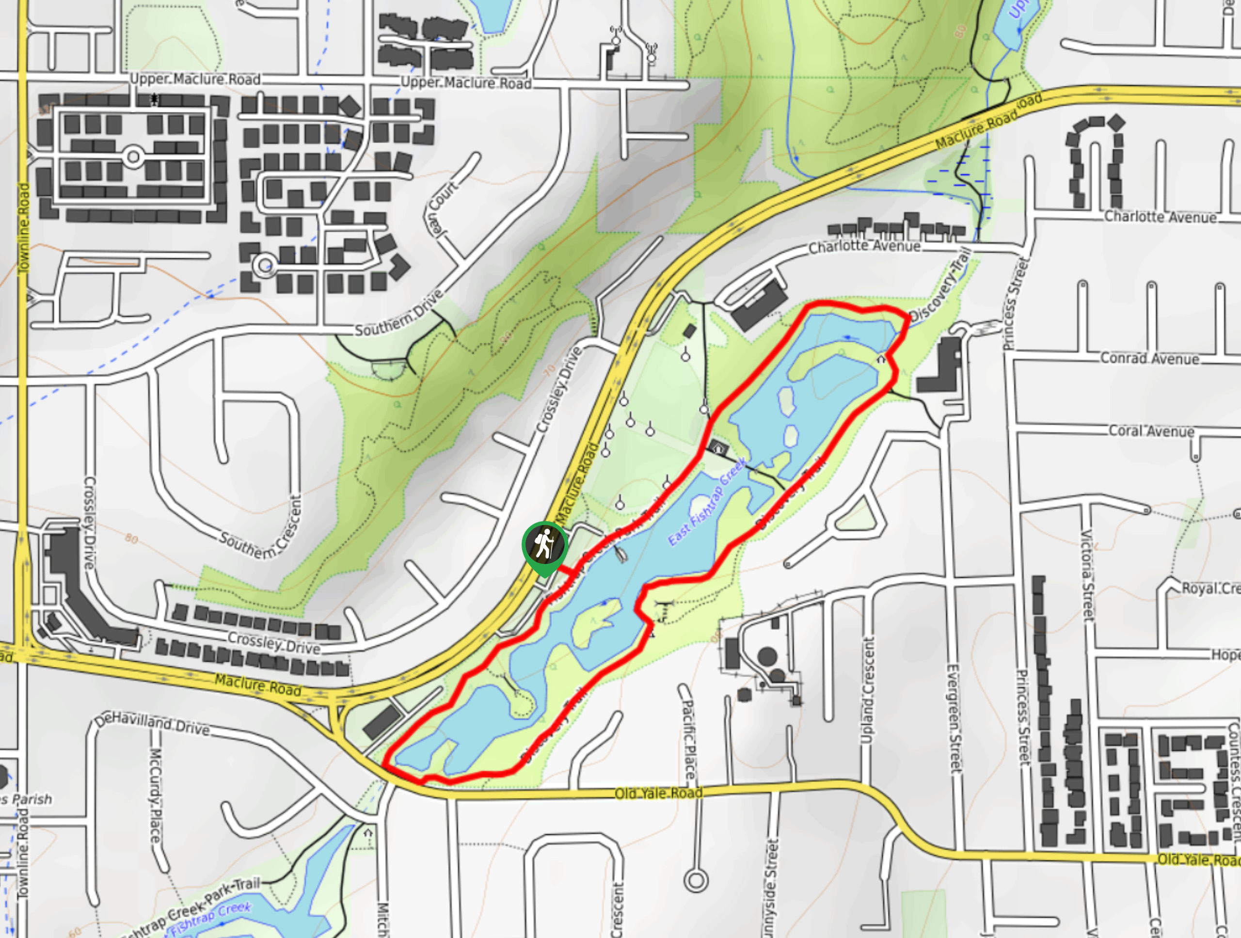
Fishtrap Creek Loop
Hiking the Fishtrap Creek Loop in Abbotsford is a great way to get out and explore the natural beauty of…

Matsqui Trail
The Matsqui Trail is a 16.7mi multi-use trail that travels alongside the Fraser River and provides nice views…
Comments