
Matsqui Trail
View Photos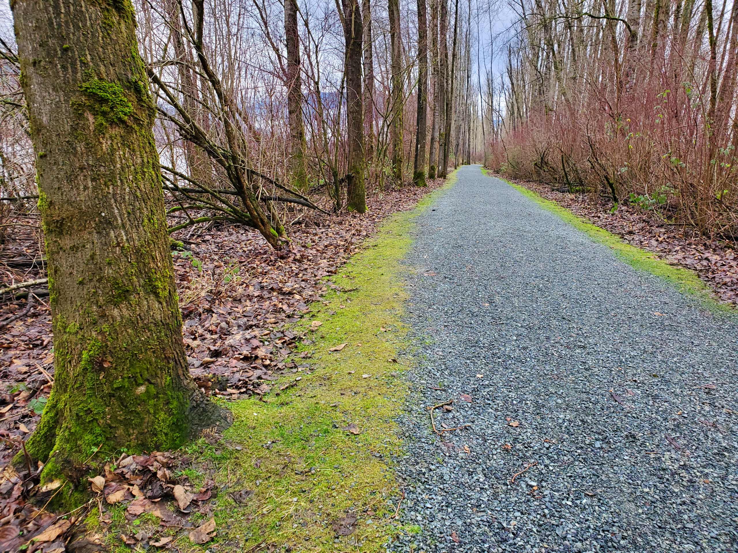
Matsqui Trail
Difficulty Rating:
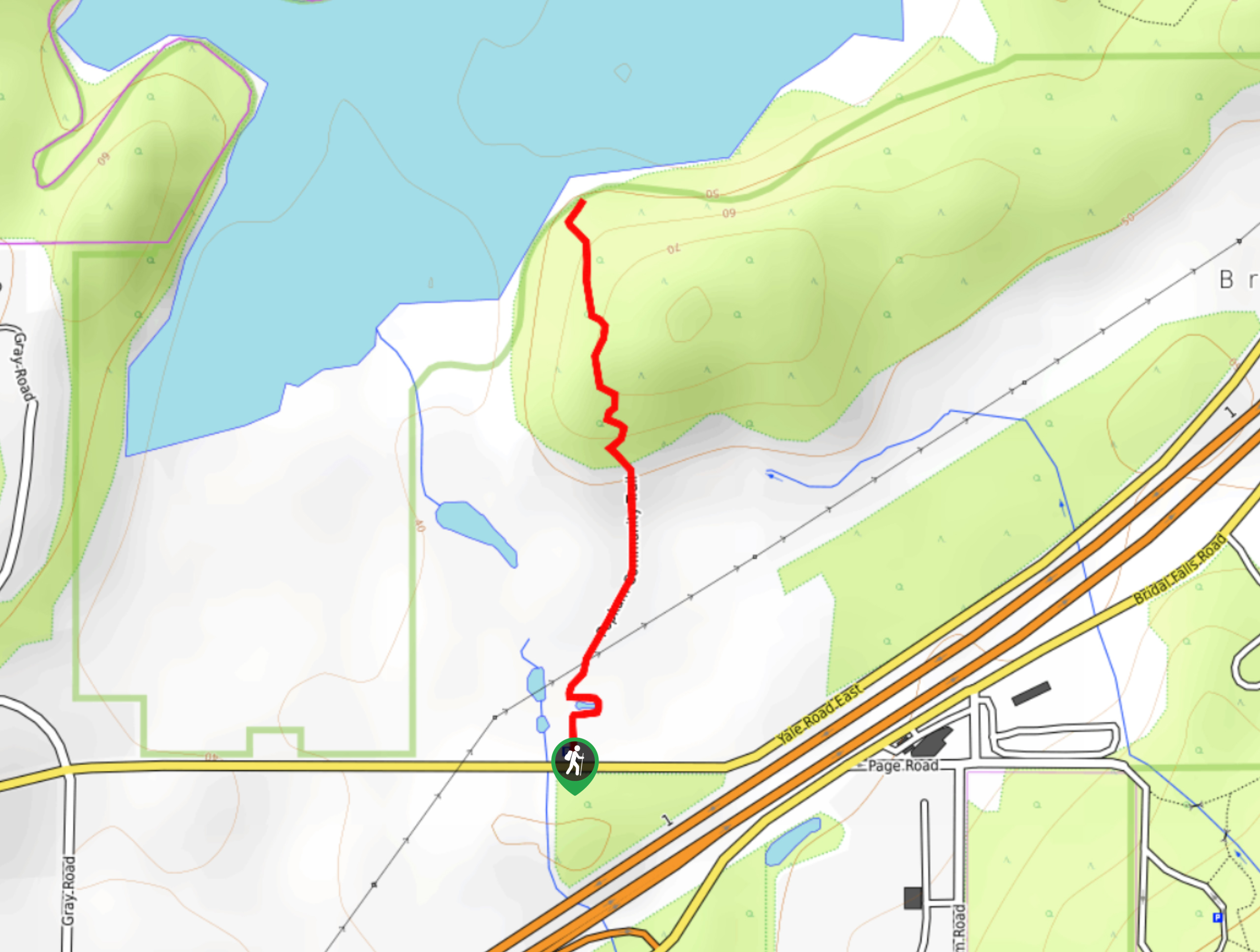
The Matsqui Trail is a 16.7mi multi-use trail that travels alongside the Fraser River and provides nice views of the valley. Popular with hikers, cyclists, and horseback riders, this route traverses flat terrain, making it suitable for hikers of every skill level. Although this route starts on the trails east end, there are multiple locations from which you can begin your hike.
Getting there
To reach the parking area for the Matsqui Trail from Mission, drive southeast on BC-11 and take the exit toward Matsqui. In 1148ft, make a sharp left turn onto Riverside Street. After 1312ft, make a right onto Page Road and follow it for 2.3mi. Turn left to stay on Page Road and continue on for another 1.2mi, where you will turn left to arrive at the parking area.

About
| When to do | Year-Round |
| Backcountry Campsites | No |
| Pets allowed | Yes - On Leash |
| Family friendly | Yes |
| Route Signage | Average |
| Crowd Levels | Moderate |
| Route Type | Out and back |
Matsqui Trail
Elevation Graph
Weather
Matsqui Trail Description
The Matsqui Trail is a lengthy out-and-back hiking route just south of Mission, BC that travels along the edge of the Fraser River to Douglas Taylor Park. This 16.7mi trail is well maintained and made up of flat terrain, but due to its proximity to the river it can sometimes become washed out in wetter seasons. If part of the trail is inaccessible, hikers can always utilize a different starting point along the route in order to avoid these areas. Along the trail you will be able to take in the scenic views of the river and surrounding mountains, as well as beautiful stretches of forest and city parks. This is also a multi-use trail, so be prepared to share the path with trail runners, cyclists, and horseback riders.
Similar hikes to the Matsqui Trail hike
Popkum Community Trail
Hike along the Popkum Community Trail for a fun and educational experience where you can learn about the wildlife and…
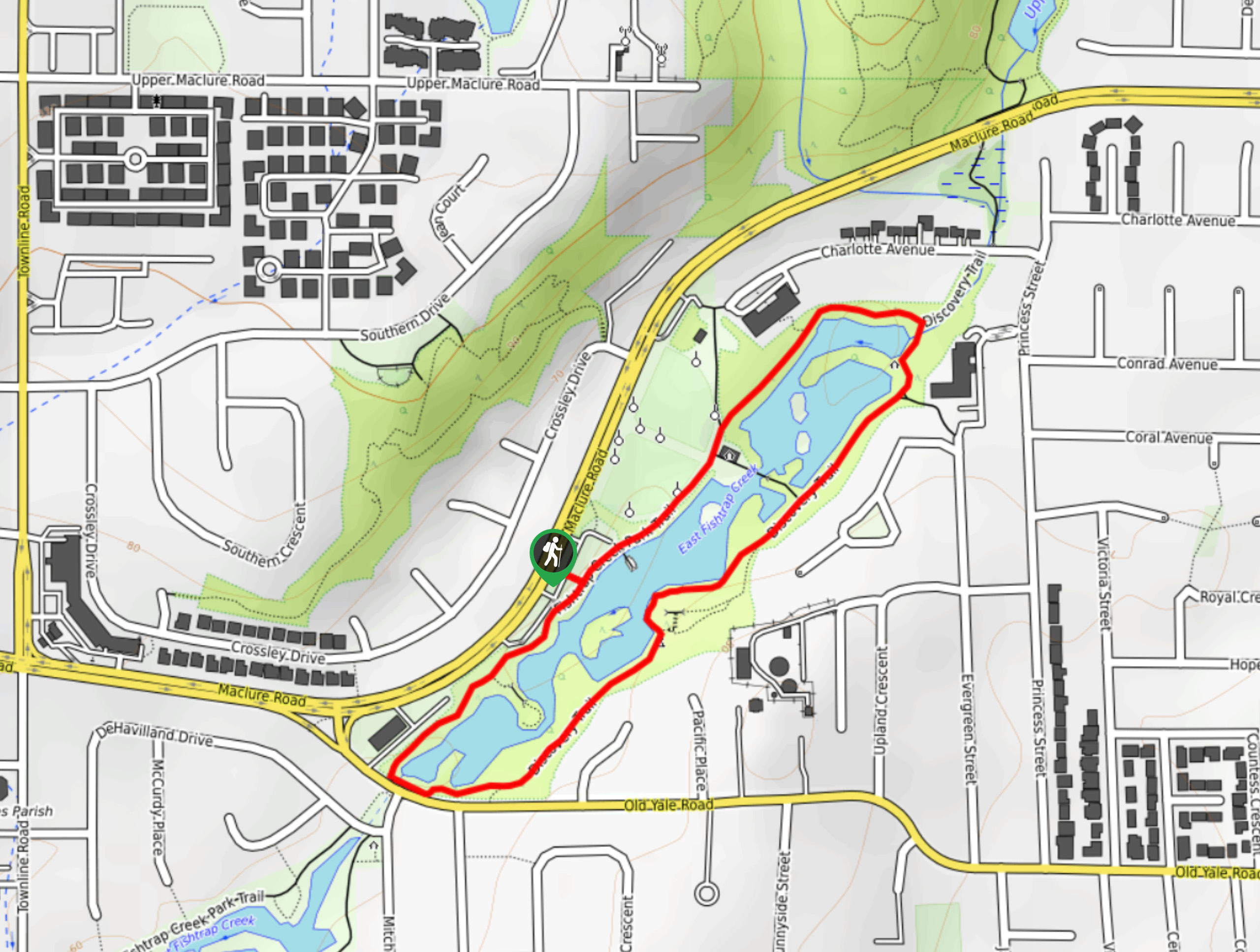
Fishtrap Creek Loop
Hiking the Fishtrap Creek Loop in Abbotsford is a great way to get out and explore the natural beauty of…
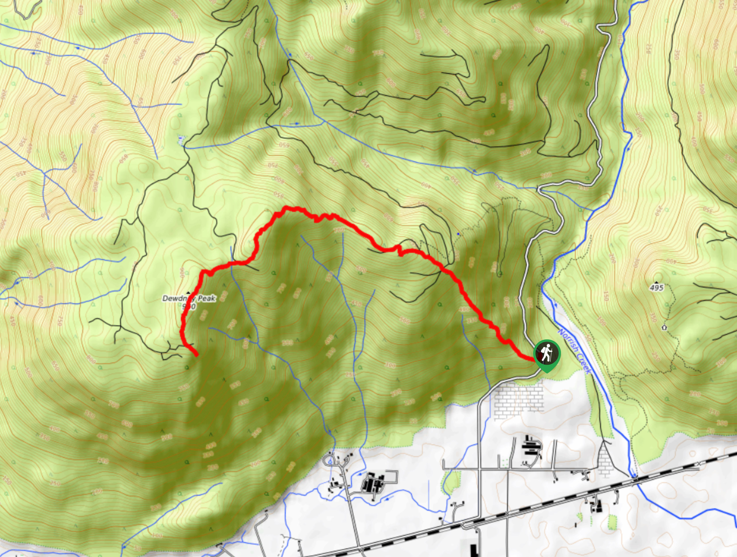
Dewdney Grind Trail
Hiking the Dewdney Grind is a challenging affair due to the steep incline and heavily-forested nature of the trail. Along…
Comments