
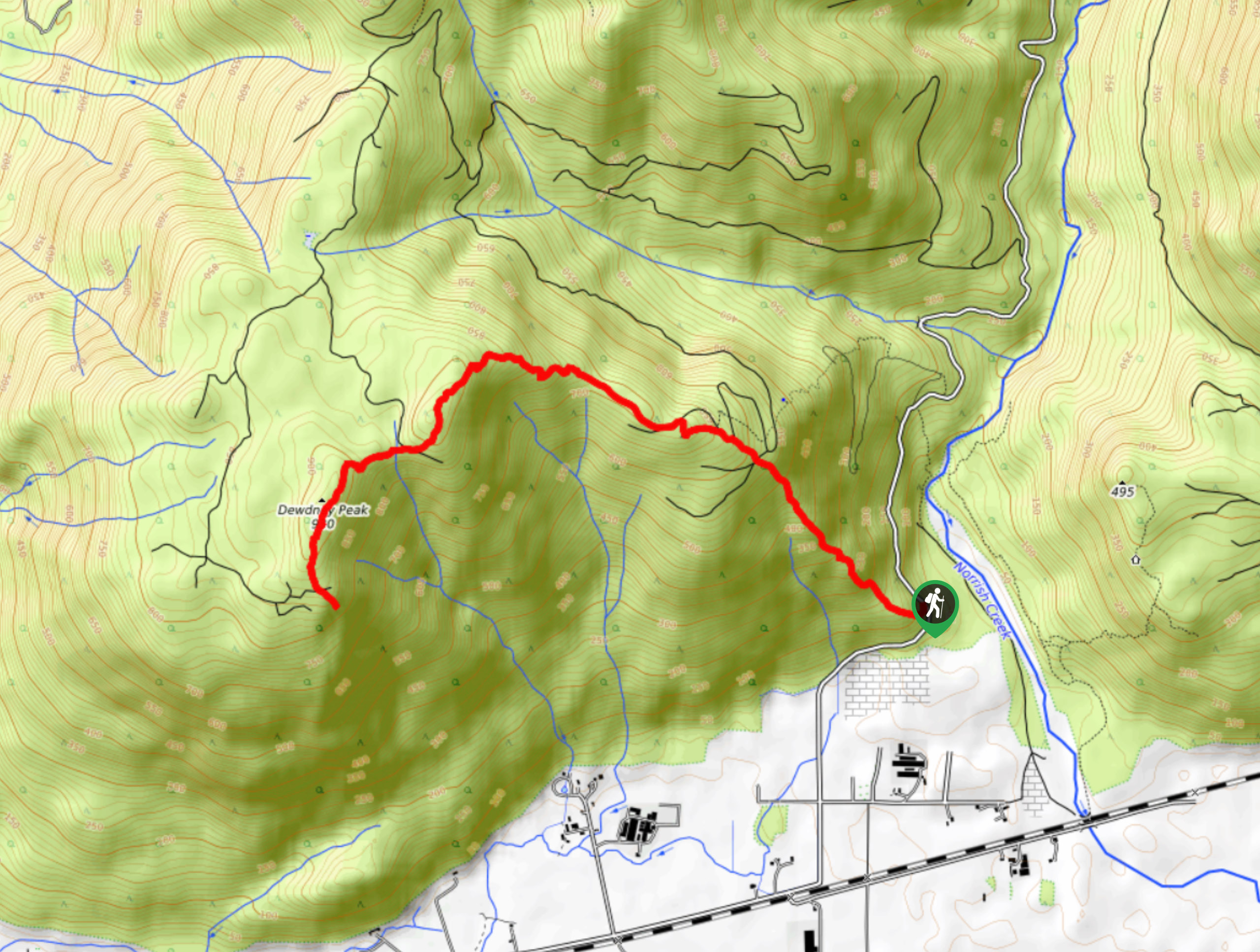
Dewdney Grind Trail
View Photos
Dewdney Grind Trail
Difficulty Rating:
Hiking the Dewdney Grind is a challenging affair due to the steep incline and heavily-forested nature of the trail. Along the 5.6mi route you will climb uphill to a charming cabin built in memory of a local helicopter pilot Ben von Hardenberg before pushing on to the summit for scenic views. Make sure to bring a GPS for this one as route finding can be difficult.
Getting there
To reach the trailhead for the Dewdney Grind from Mission, drive east on BC-7 for 6.1mi and continue straight onto Hawkins Pickle Road. In 1.7mi the road will turn right and become Bell Road. Continue straight for 1.1mi to reach the trailhead on the left.

About
| When to do | April-September |
| Backcountry Campsites | Dewdney Grind Cabin |
| Pets allowed | Yes |
| Family friendly | No |
| Route Signage | Poor |
| Crowd Levels | Moderate |
| Route Type | Out and back |
Dewdney Grind Trail
Elevation Graph
Weather
Dewdney Grind Trail Description
The Dewdney Grind is a difficult out-and-back hiking route in the Fraser Valley that climbs sharply uphill for an elevation gain of 3284ft on the way to the summit of Dewdney Peak. Route finding along the trail can be a bit tricky as there are many intersecting logging roads on the lower part of the trail and logging operations in the area often result in downed trees blocking the route. Along the trail, hikers will climb up the steep incline and make their way past a small cabin on the way to the summit. From here, you will enjoy views overlooking the Fraser Valley and the surrounding mountains.
Similar hikes to the Dewdney Grind Trail hike
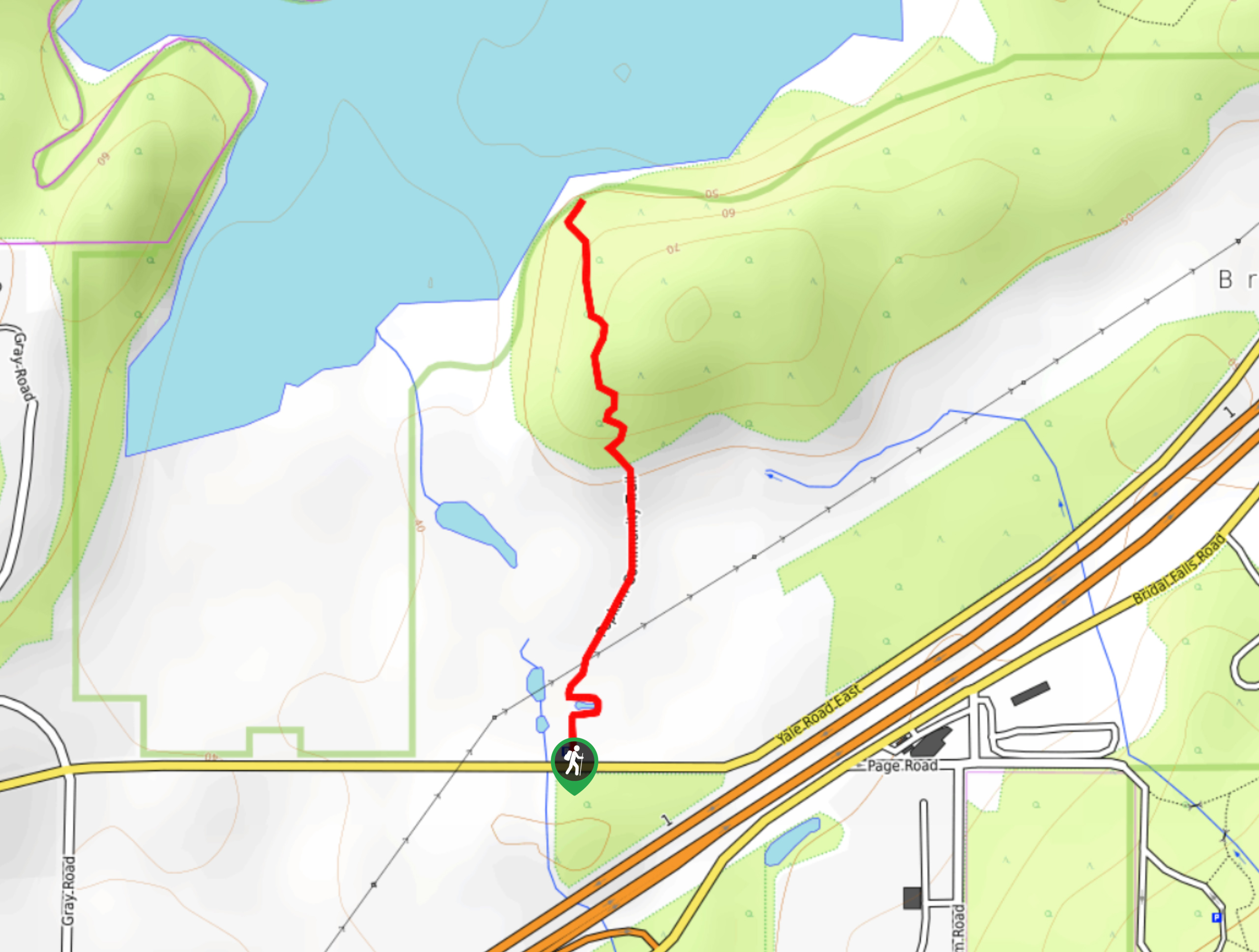
Popkum Community Trail
Hike along the Popkum Community Trail for a fun and educational experience where you can learn about the wildlife and…
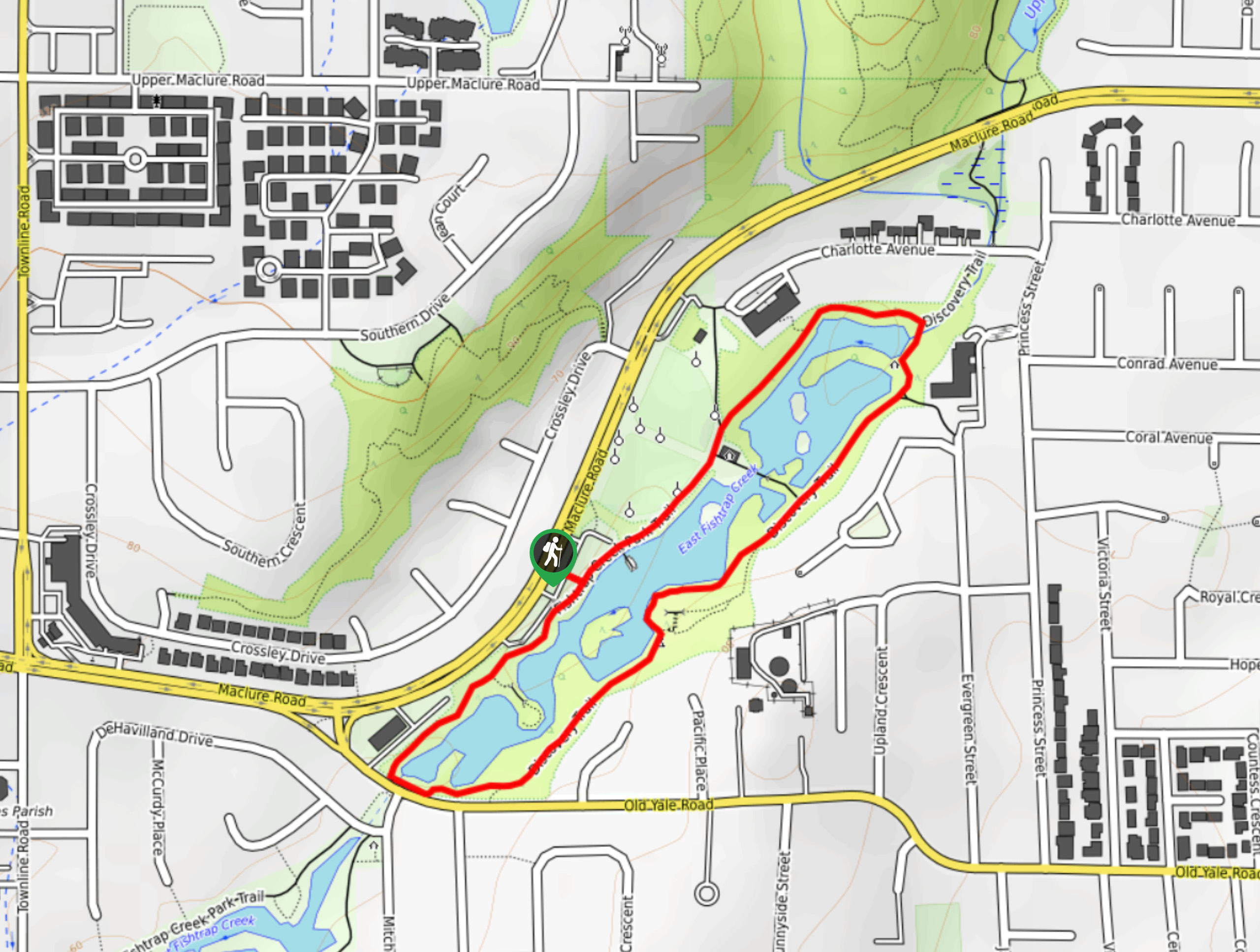
Fishtrap Creek Loop
Hiking the Fishtrap Creek Loop in Abbotsford is a great way to get out and explore the natural beauty of…

Matsqui Trail
The Matsqui Trail is a 16.7mi multi-use trail that travels alongside the Fraser River and provides nice views…
Comments