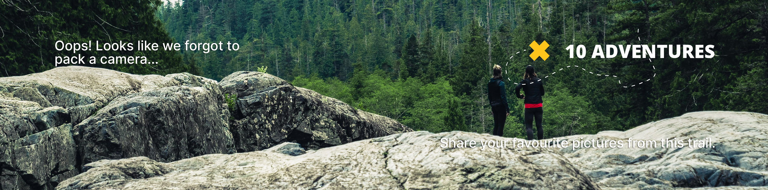
Mount Saint Benedict Trail
View Photos
Mount Saint Benedict Trail
Difficulty Rating:
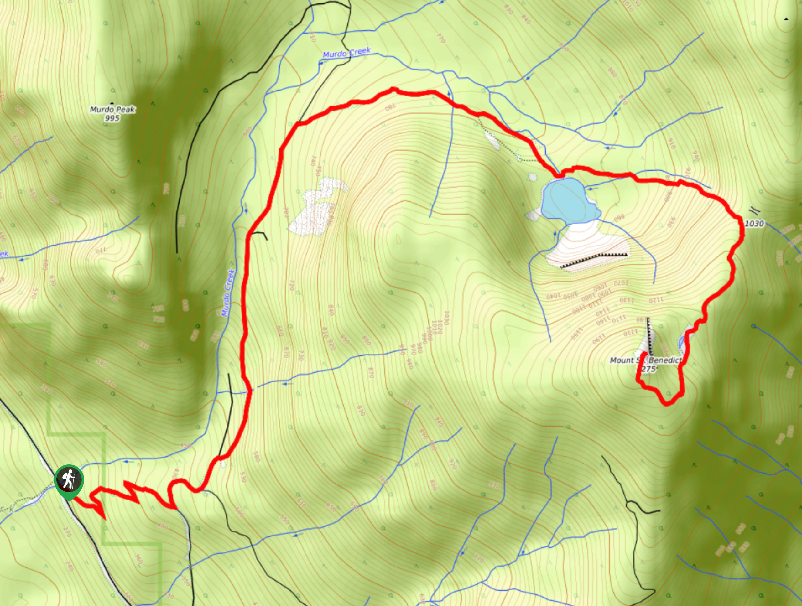
The Mount Saint Benedict Trail is a challenging 6.8mi out-and-back hiking route that climbs steeply uphill to provide some amazing views over the surrounding area. There are several highlights that can be found along this trail including a cascading waterfall and the charming waters of McKay Lake. After a tough push to the summit, hikers will experience panoramic views of countless backcountry mountain peaks.
Getting there
To reach the Mount Saint Benedict trailhead from Mission, head east along BC-7 for 3.7mi and make a left turn onto Sylvester Road. Keep straight for 10.8mi to find the trailhead on the left.

About
| When to do | June-October |
| Backcountry Campsites | N |
| Pets allowed | Yes |
| Family friendly | No |
| Route Signage | Average |
| Crowd Levels | Moderate |
| Route Type | Out and back |
Mount Saint Benedict Trail
Elevation Graph
Weather
Mount Saint Benedict Trail Description
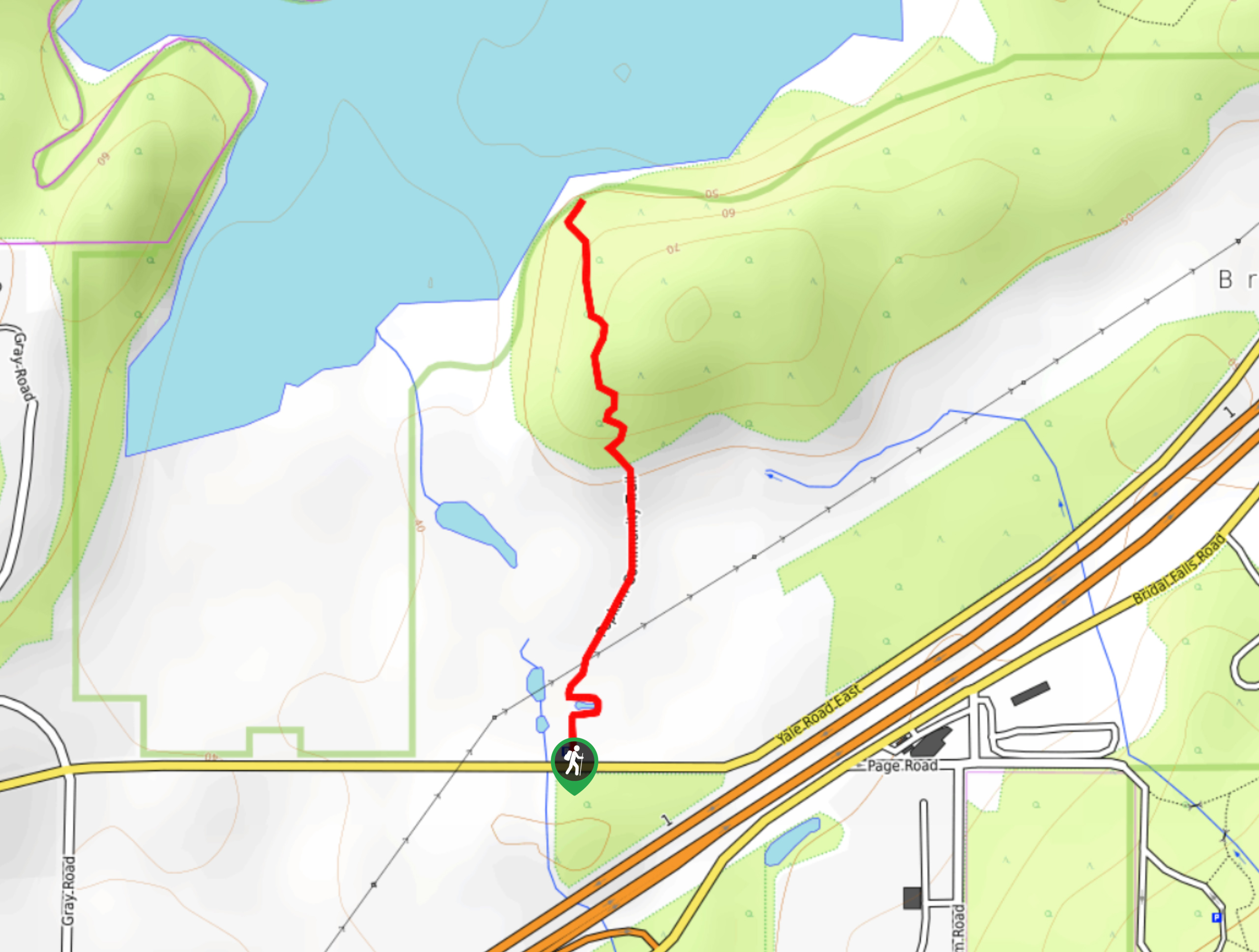
The Mount Saint Benedict Trail is a difficult hiking route north of Mission, BC that sets out from Davis Lake Provincial Park and climbs uphill through the forest to visit a beautiful waterfall and the shores of McKay Lake, before reaching the summit of Mount Saint Benedict. After climbing the initial series of switchbacks through the forest, the route follows along a forest service road until you reach the peaceful waters of the lake. From here, the trail will climb sharply uphill towards the summit along a path that can be likened to Vancouver’s Grouse Grind in its intensity. From the top of the peak you will have amazingly scenic views overlooking Stave Lake and the nearby Cascade Mountains. This is a gorgeous hike that is ideal for anyone looking to push themselves along a steep trail to be rewarded with a spectacular sightline.
Similar hikes to the Mount Saint Benedict Trail hike
Popkum Community Trail
Hike along the Popkum Community Trail for a fun and educational experience where you can learn about the wildlife and…
Fishtrap Creek Loop
Hiking the Fishtrap Creek Loop in Abbotsford is a great way to get out and explore the natural beauty of…

Matsqui Trail
The Matsqui Trail is a 16.7mi multi-use trail that travels alongside the Fraser River and provides nice views…
Comments