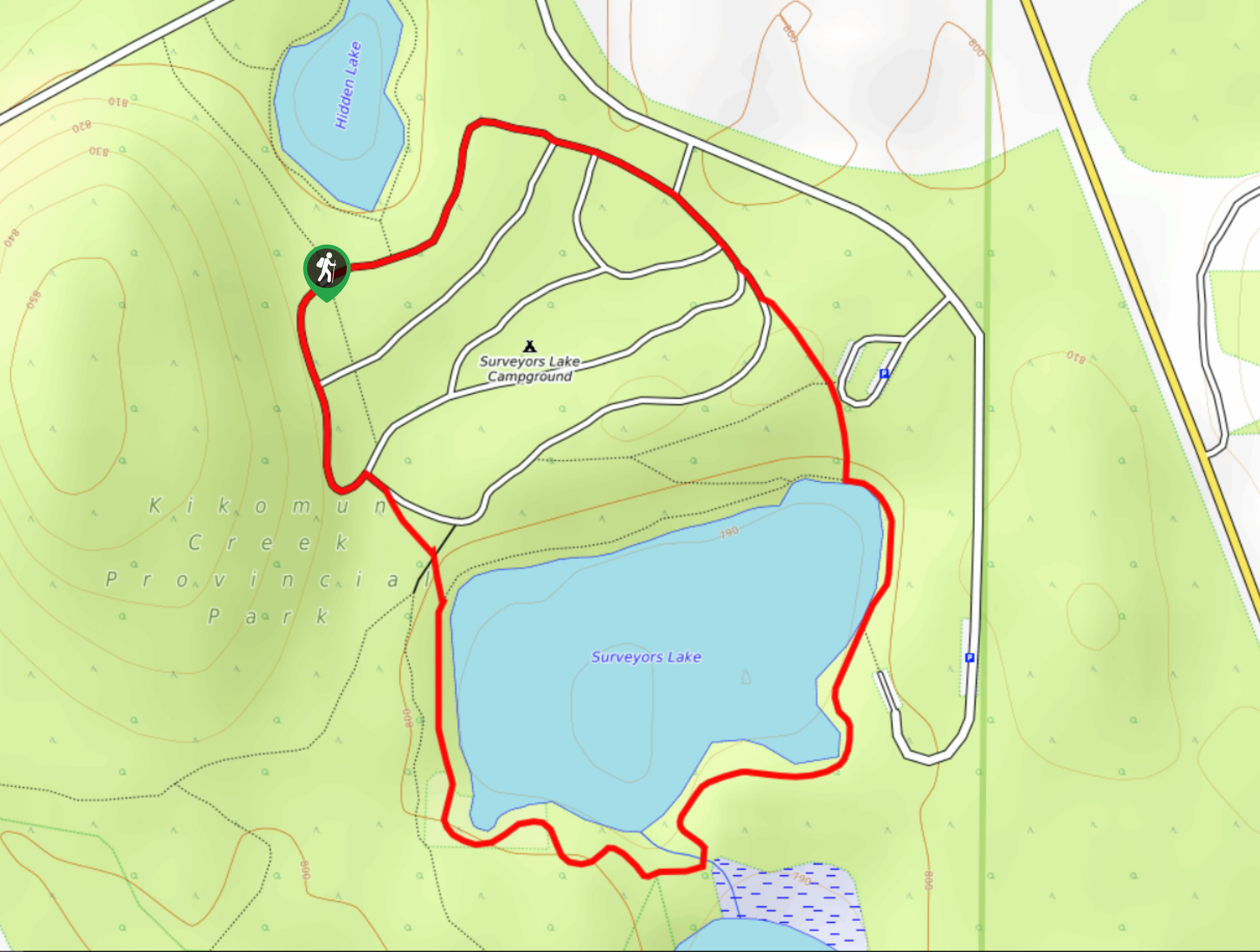
Surveyors Lake Loop
View Photos
Surveyors Lake Loop
Difficulty Rating:
The Surveyors Lake Loop is a 1.7mi circuit hiking route in Kikomun Creek Provincial Park that will take you around the edges of the picturesque Surveyors Lake. Hikers will be able to take in the amazing woodland scenery surrounding the lake as they travel along well-maintained trails that loop through the campground and forested edge of the water. This trail is easily accessible and can be utilized by hikers of all skill levels.
Getting there
To reach the Surveyors Lake Loop trailhead from Baynes Lake, drive north on Jaffray Baynes Lake Road for 1.7mi. Turn left on Teepee Creek Road, and after 1312ft, turn left again onto Kerr Road. Make the first left and after 1312ft, turn right to enter Surveyors Lake Campground. Turn right again, and you will reach the trailhead in 1640ft.

About
| When to do | Year-Round |
| Backcountry Campsites | Surveyors Lake Campground |
| Pets allowed | Yes - On Leash |
| Family friendly | Yes |
| Route Signage | Average |
| Crowd Levels | Low |
| Route Type | Circuit |
Surveyors Lake Loop
Elevation Graph
Weather
Surveyors Lake Loop Description
Hiking the Surveyors Lake Loop makes for a fun day outdoors that will allow you to take in the beautiful woodland scenery within Kikomun Creek Provincial Park. Due to the proximity of the trail to the Surveyors Lake Campground, this hike is the perfect accompaniment to an awesome weekend of camping. The trail itself is very well-maintained and begins in the campground, following a clockwise route between the campsites until you reach the edge of the lake. From here, continue to hike through the peaceful forest as the trail works its way around the edge of the water. Take in the amazing views that look out across the tranquil lake, working along the west side of the lake until you once again reach the campground. A short distance further to the north will return you to the trailhead next to Hidden Lake, where you began.
Similar hikes to the Surveyors Lake Loop hike
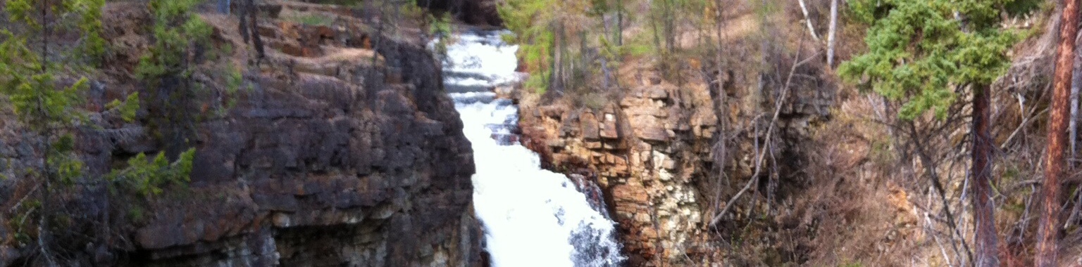
Marysville Falls
Marysville Falls is a short 0.3mi out-and-back hiking route in Marysville, BC that offers a pleasant stroll along…
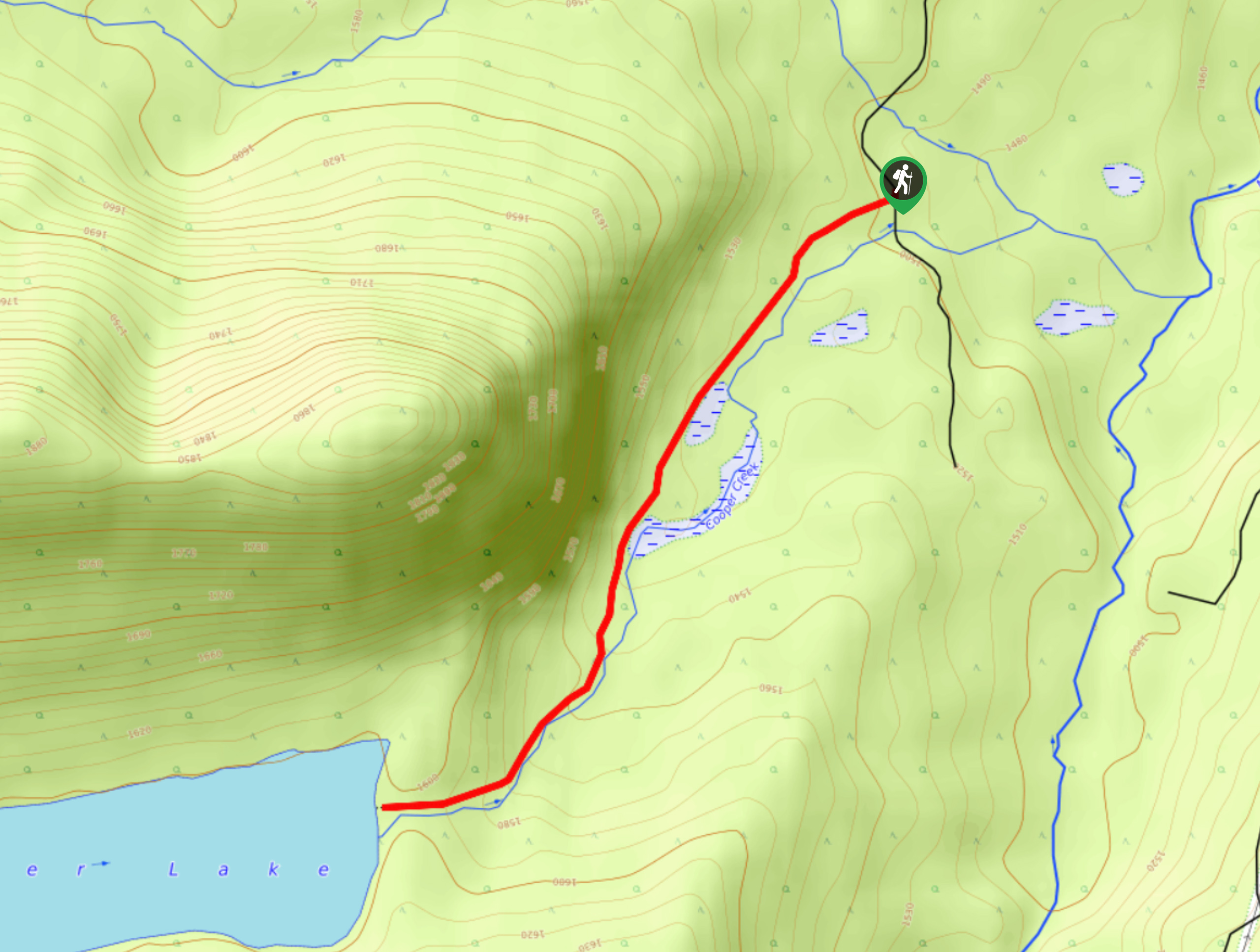
Cooper Lake Trail
The Cooper Lake Trail is a 2.5mi out-and-back hiking route near Cranbrook, BC, that follows closely along an…
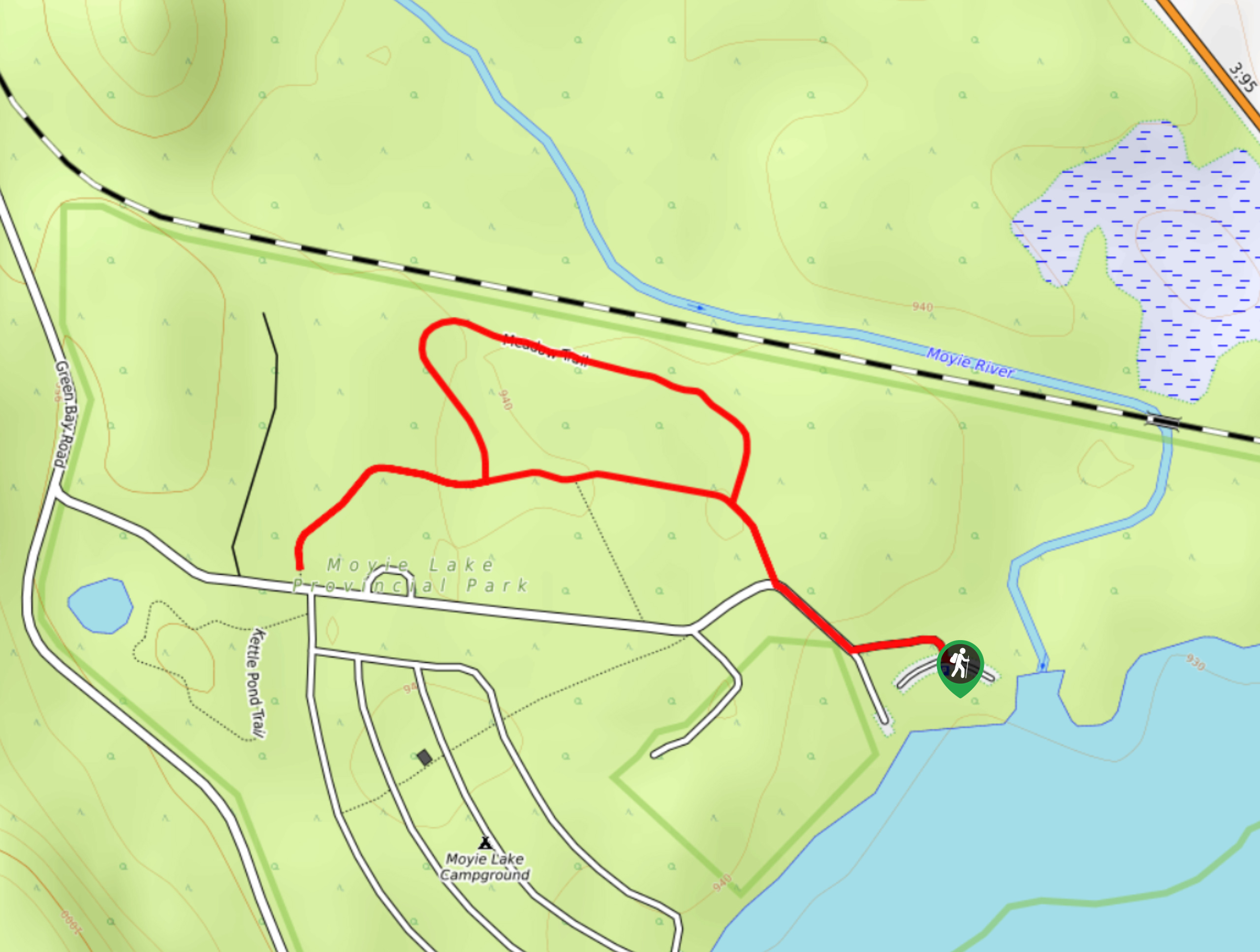
Moyie Lake Area Trail
The Moyie Lake Area trail is a 1.4mi lollipop hiking route south of Cranbrook that takes you on…
Comments