Lakit Lookout
View Photos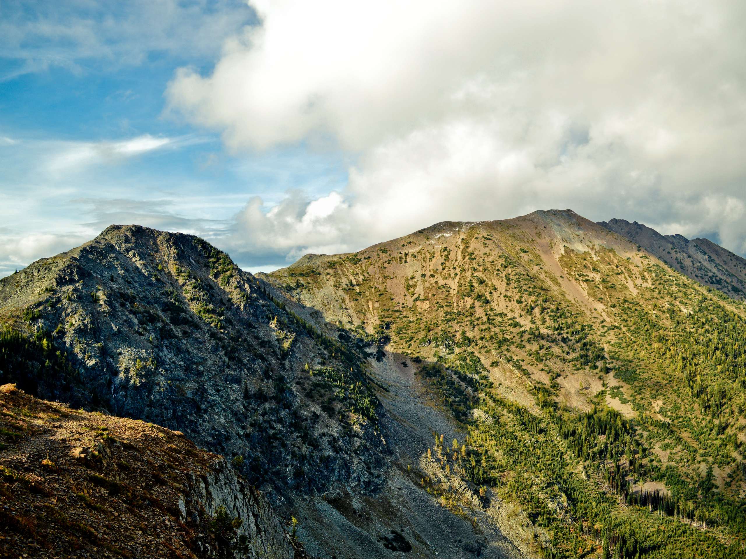
Lakit Lookout
Difficulty Rating:
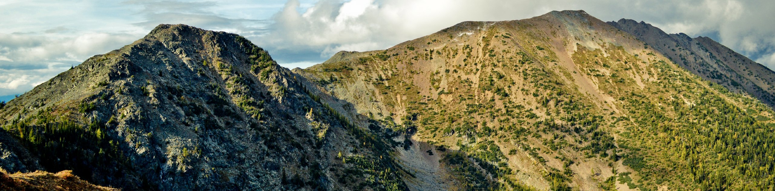
The Lakit Lookout trail is a 2.1mi out-and-back hiking route near Fort Steele, BC, that will take you through mixed terrain of forest and rocky ridgeline to reach the Lakit Lookout Cabin. Along the exposed ridge, you will have amazing views that stretch out across the peaks and valleys of the surrounding landscape, including the Lakit and Vertical mountains. Make sure to attempt the drive in with a 4x4 high clearance vehicle, as the road leading up to the trailhead is fairly rough and rugged.
Getting there
To reach the Lakit Lookout trailhead from Fort Steele, drive northeast on Fort Steele-Wildhorse FSR for 3.0mi. Turn right to stay on the same road and continue for another 1969ft. Make a left here onto Lakit Lookout Road and you will find the trailhead on the left in 5.8mi.

About
| When to do | June-September |
| Backcountry Campsites | No |
| Pets allowed | Yes |
| Family friendly | Older Children only |
| Route Signage | Average |
| Crowd Levels | Low |
| Route Type | Out and back |
Lakit Lookout
Elevation Graph
Weather
Lakit Lookout Trail Description
Hiking up to the Lakit Lookout is a relatively short but breathtaking route that will provide you with sweeping views across the surrounding alpine landscape. While the trail takes you through a nice mix of forested paths and exposed ridgeline, overall, the terrain along the route is fairly easy to traverse and is accessible for both casual and experienced hikers.
Setting out from the forest service road, follow the trail south through the trees to begin a brief uphill climb through the forest to reach the ridgeline. From there, hikers will need to work their way to the southwest along the ridge to reach the Lakit Lookout Recreation Site and cabin. Once you get to the lookout, you will have some amazing views that look out across the countless mountains in all directions, including Vertical Mountain to the southeast and Lakit Mountain to the northwest. For those hikers looking for a bit more adventure along their hike, there is an optional trail extension that leads up to the summit of Lakit Mountain. After taking in the views, you can either head back down the trail to return to your vehicle or prepare for a night in the mountains if you have planned on staying overnight in the cabin.
Similar hikes to the Lakit Lookout hike

Spirit Trail Loop
The Spirit Trail Loop is a 10.1mi hiking circuit in the East Side Columbia Lake Wildlife Management Area,…

Mount Stevens and Teepee Mountain
The trek to Mount Stevens and Teepee Mountain is a steep 8.4mi out-and-back hiking route east of Wasa,…

Ram Creek Hot Springs
Hiking to the Ram Creek Hot Springs will take you on an 6.9mi out-and-back trail that runs along…
Comments