

Spirit Trail Loop
View Photos
Spirit Trail Loop
Difficulty Rating:
The Spirit Trail Loop is a 10.1mi hiking circuit in the East Side Columbia Lake Wildlife Management Area, near Fairmont Hot Springs that will take you through beautiful forests and meadows along the eastern shore of the water. Along the hike, you will experience an amazing forest setting, as well as stunning views across the lake with the rugged Purcell Mountains in the backdrop. This hike is a perfect option if you are looking to stroll through nature for a few hours without any real difficulty.
Getting there
To get to the parking area for the Spirit Trail Loop from the BC-93 highway in Fairmont Hot Springs, head southeast on Fairmont Creek Road for 1312ft and turn right onto Columbia River Road. Continue on for 2.5mi to reach the trailhead.

About
| When to do | March-November |
| Backcountry Campsites | No |
| Pets allowed | Yes - On Leash |
| Family friendly | Older Children only |
| Route Signage | Average |
| Crowd Levels | Moderate |
| Route Type | Circuit |
Spirit Trail Loop
Elevation Graph
Weather
Spirit Trail Description
Hiking along the Spirit Trail Loop will expose you to the pleasant trails and amazingly scenic views that can be found along the shores of Columbia Lake. While the route does feature a small amount of elevation gain, this is largely spread throughout the hike and does not pose any significant difficulties. The trail sets out from the parking area and heads west, down towards the edge of the lake. As you stroll along the edge of the water, you will have some spectacular views that stretch across the blue expanse and are capped by the wall of mountains behind. Continue following the trail south through the intermittent forest cover before gaining a bit of elevation and turning back towards the north. On this return part of the journey, you will once again hike in and out of the cover of the serene forest, with stretches of trail that traverse some beautifully scenic meadows. Eventually, you will arrive back at the parking area, having experienced the natural beauty of the Spirit Trail Loop.
Similar hikes to the Spirit Trail Loop hike

Mount Stevens and Teepee Mountain
The trek to Mount Stevens and Teepee Mountain is a steep 8.4mi out-and-back hiking route east of Wasa,…

Ram Creek Hot Springs
Hiking to the Ram Creek Hot Springs will take you on an 6.9mi out-and-back trail that runs along…
Saddleback Ridge Trail
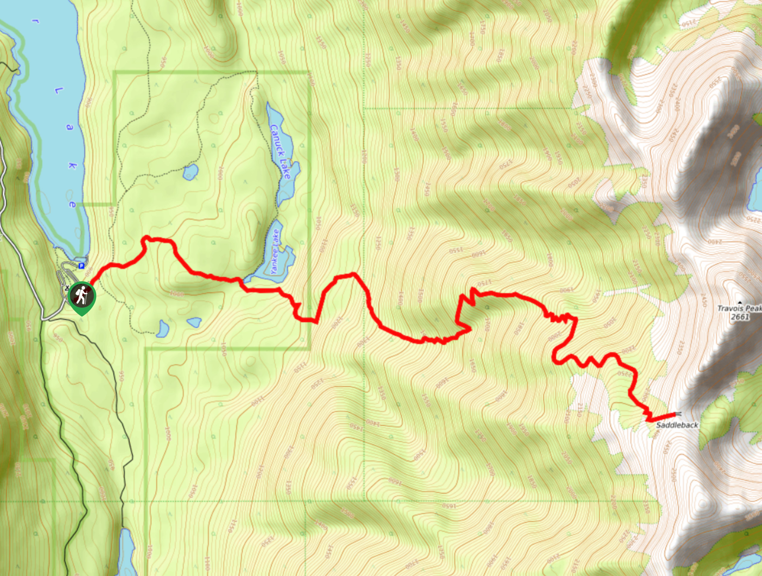
The Saddleback Ridge Trail is a 9.6mi out-and-back hiking route in Premier Lake Provincial Park that will take…
Comments